Embark on a virtual journey across the Heart of Dixie through our curated network of Alabama live webcams. From the sun-kissed, white quartz sands of the Gulf Coast to the sprawling campuses of legendary college towns, our 24/7 high-definition streams offer an unfiltered window into the Yellowhammer State. Whether you are tracking tropical storm paths across Mobile Bay, verifying campus foot traffic at Auburn, or monitoring highway traffic in northern industrial hubs, our live portal connects you instantly.
Use this primary state directory to discover localized streams across Baldwin County, Lee County, and major metropolitan sectors.

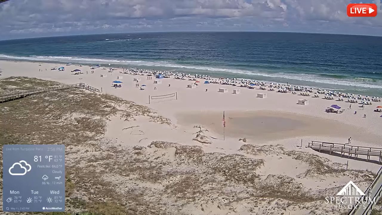
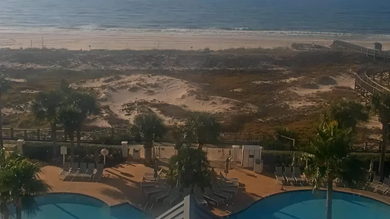

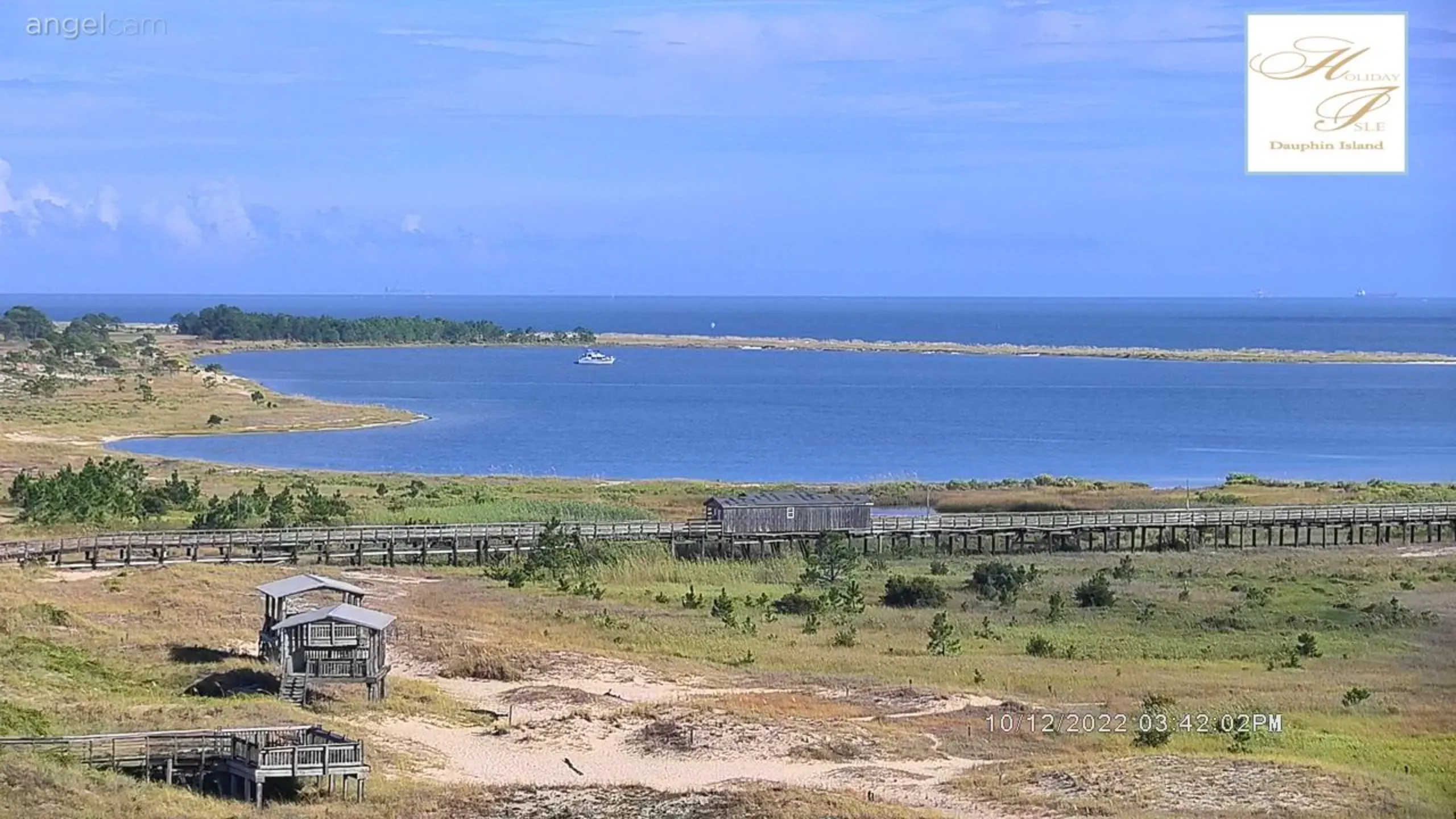


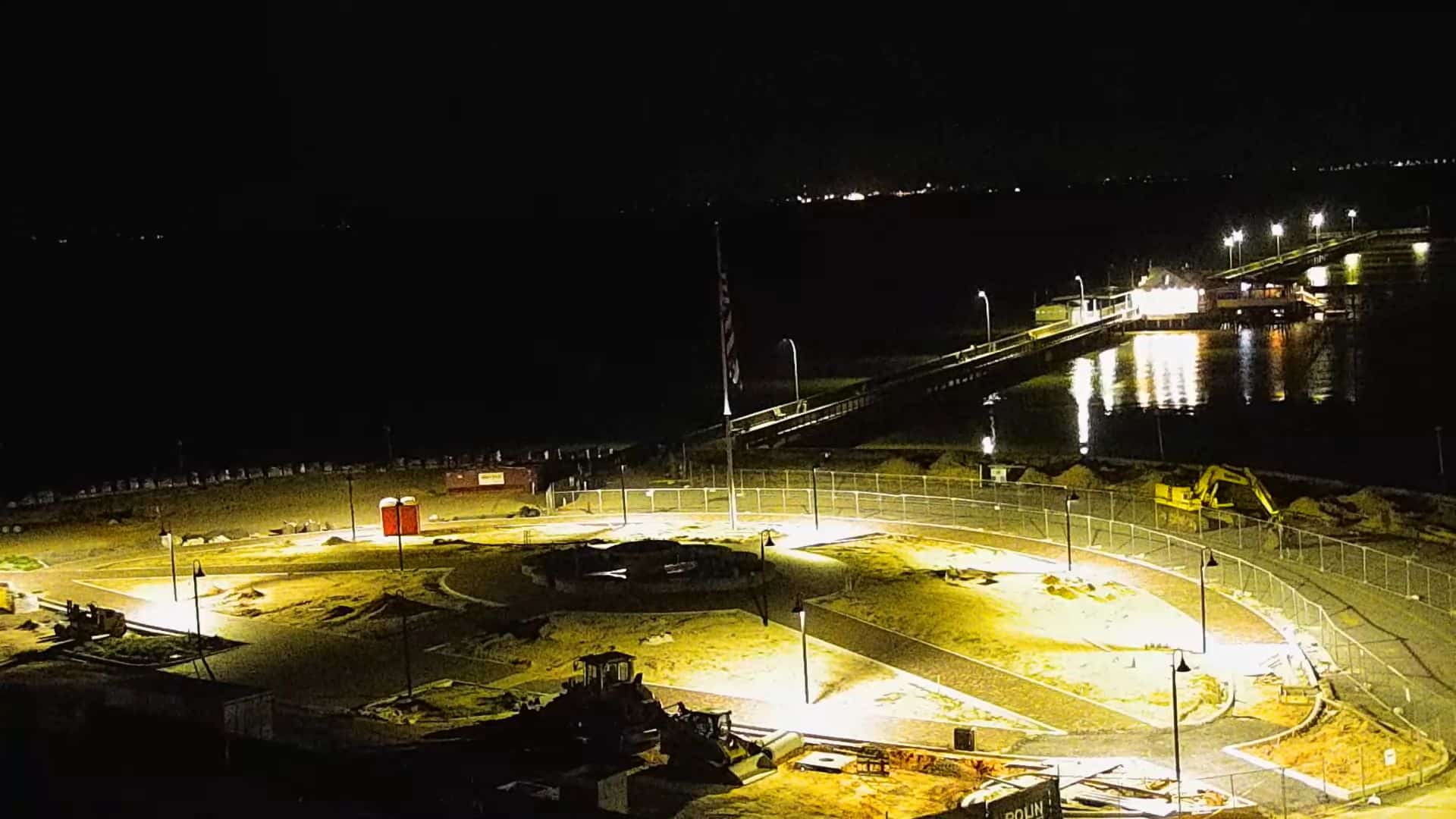

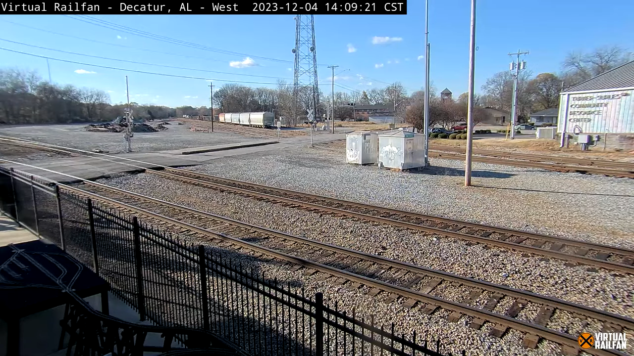

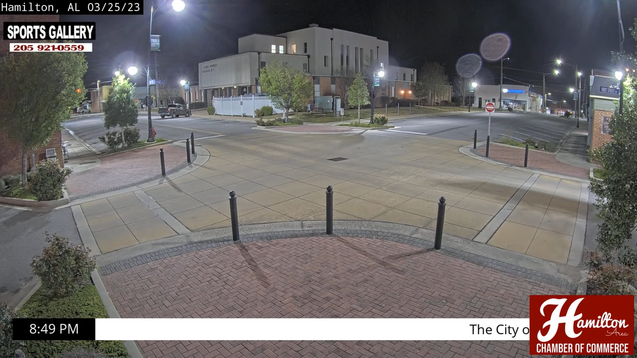
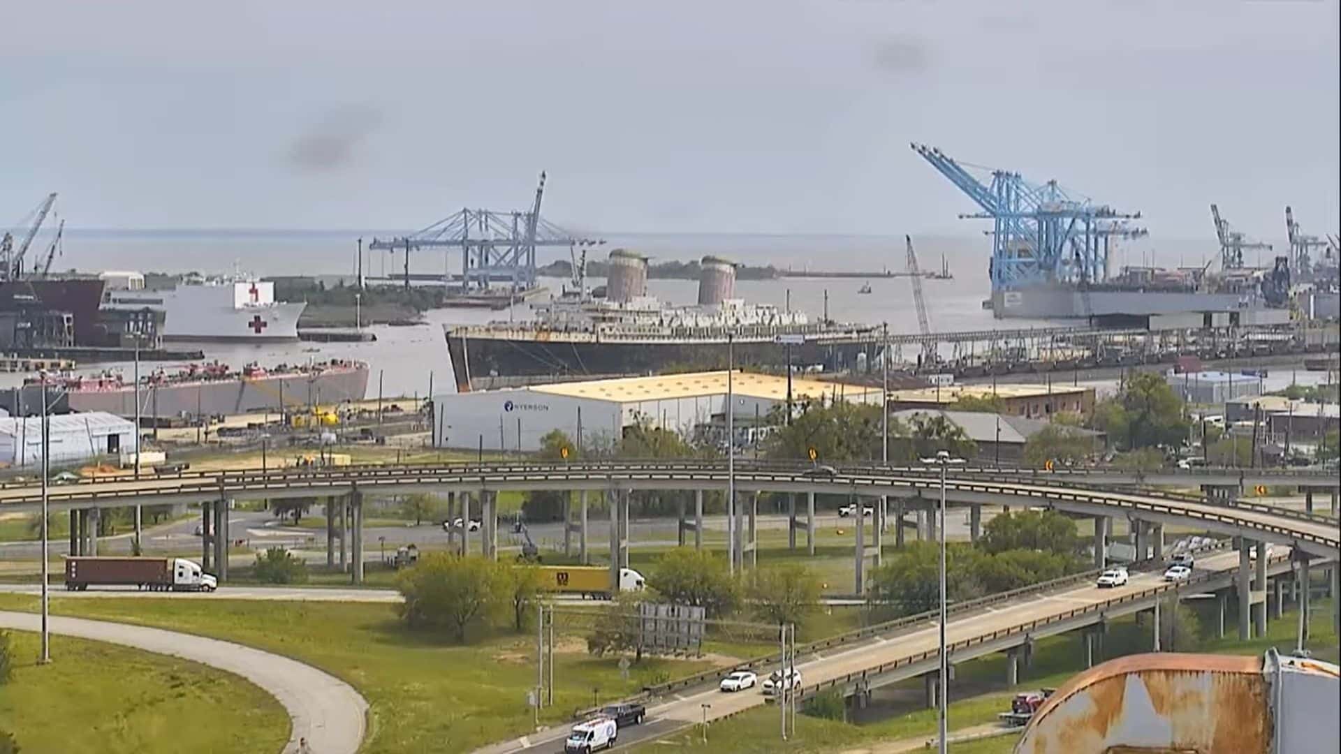



















🏖️ Coastline Watch: Southern Surf & Beach Cams
Track changing South Atlantic weather fronts, wave heights, and beachfront pedestrian traffic along Alabama’s pristine coastal resort corridors:
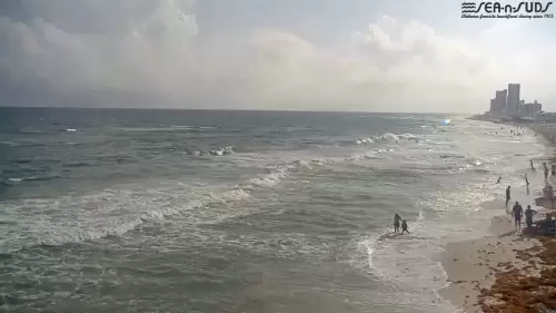
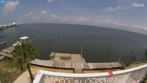
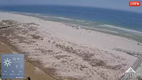
- Sea N Suds Beach Cam (Gulf Shores): Stream real-time views from the only rustic seafood joint built directly over the sand on piers. Perfect for tracking Gulf of Mexico wave breaks and beach crowd density.
- Orange Beach Live Stream: Courtesy of Joy Sullivan Gulf Coast Rentals, this high-definition camera monitors active beachfront condo decks, tide pools, and seasonal vacation traffic.
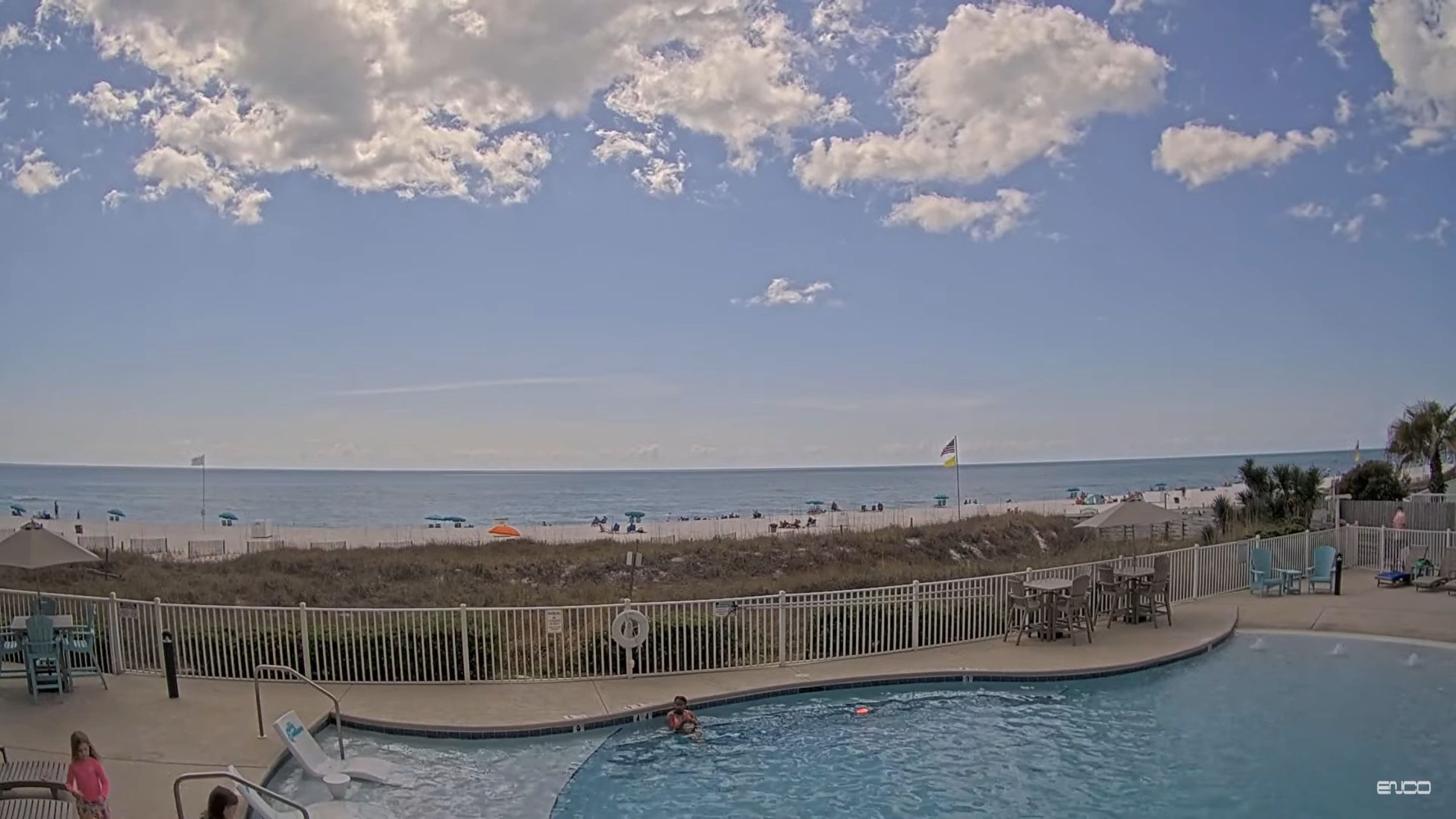
- The Beach Club Resort & Spa Feed: Keep an eye on pristine coastal weather and luxury pool deck conditions along the scenic Fort Morgan peninsula.
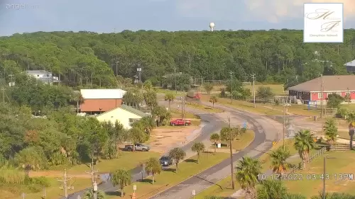
- Holiday Isle Beach Condos (Dauphin Island): Look out from the serene, isolated western end of the island to monitor open-ocean water clarity and coastal wind speeds.
🎓 University Campuses & Iconic Stadium Feeds
Observe daily student life, urban microclimates, and massive athletic infrastructure across Alabama’s world-renowned academic institutions:
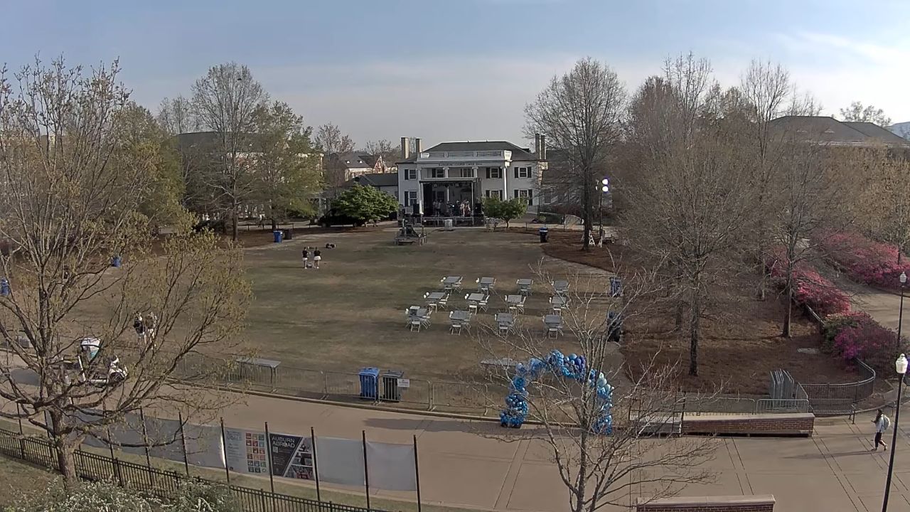
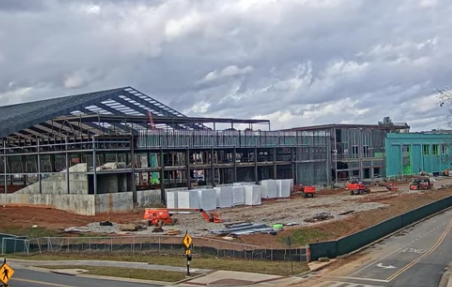
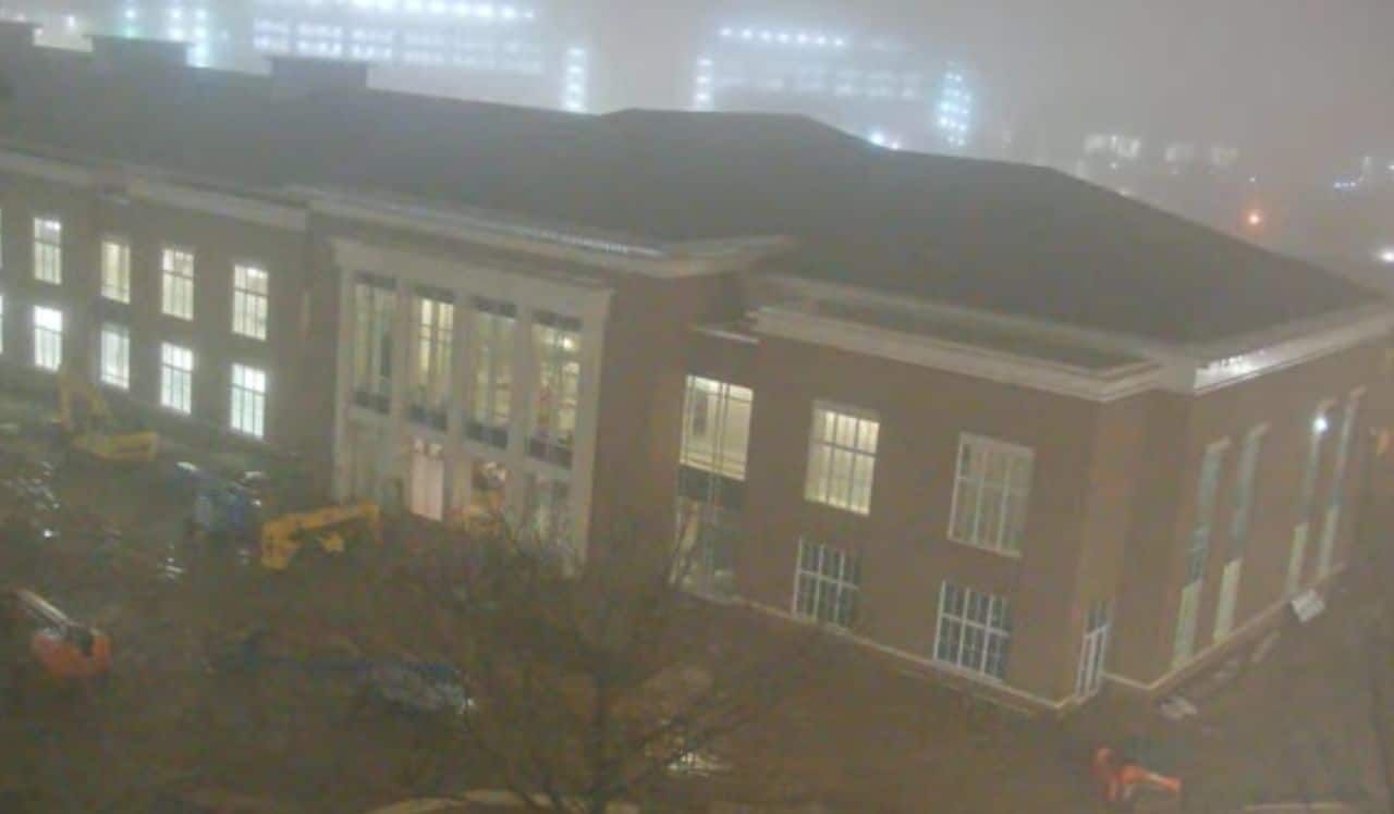
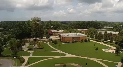
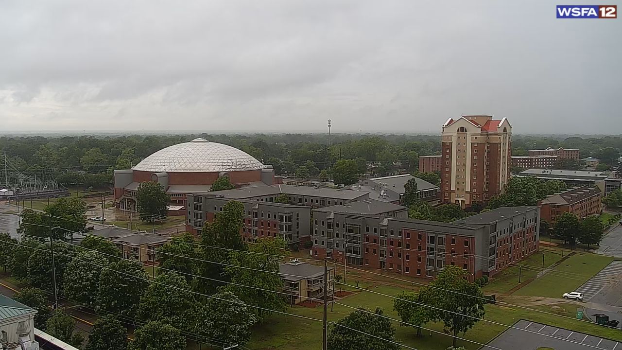
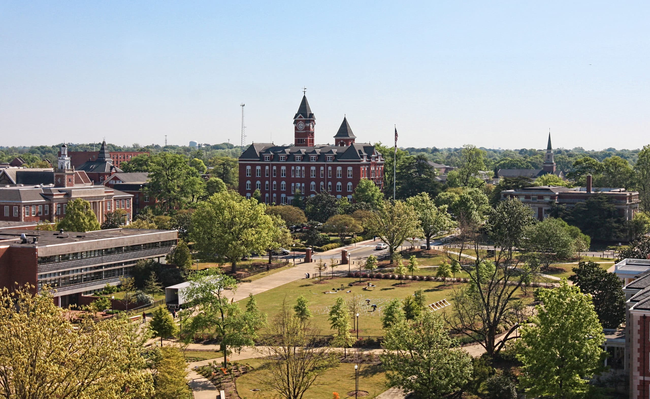
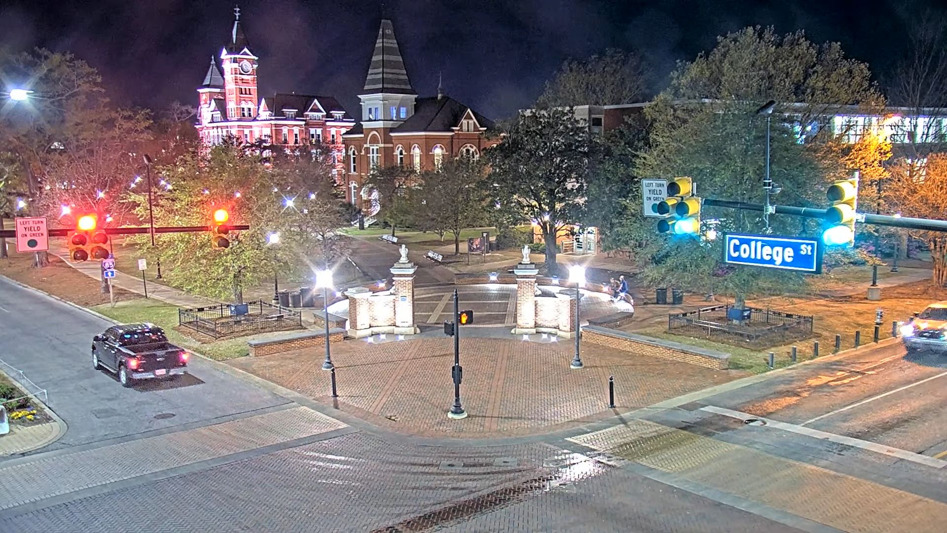
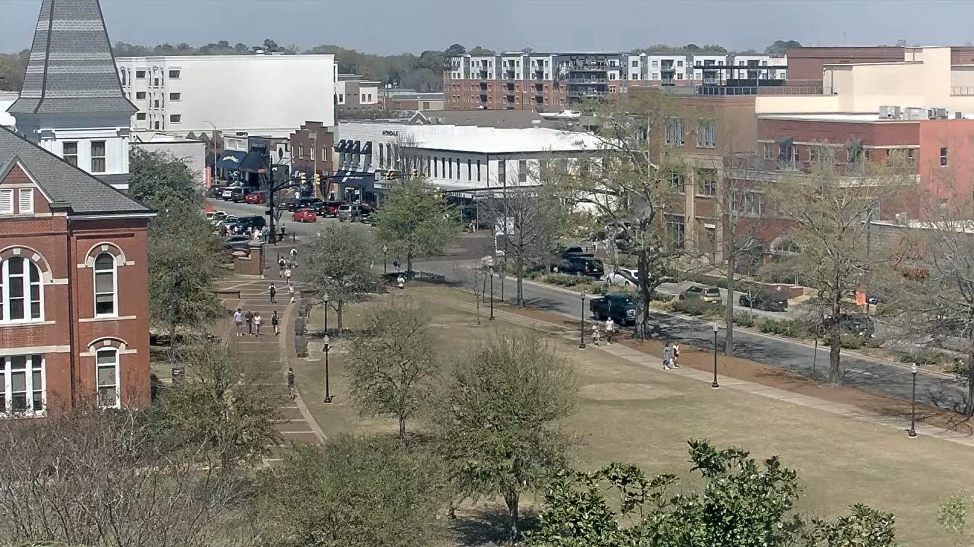
- Thach Concourse Live Cam (Auburn University): Monitor real-time local weather and pedestrian movements along this central open-space landmark in Auburn, Alabama.
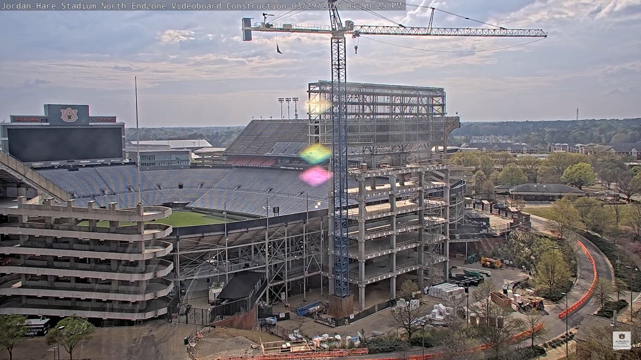
- Jordan-Hare Stadium Video Feed: Get a live look at the historic turf where the Auburn Tigers square off in intense, intra-state college football rivalries.
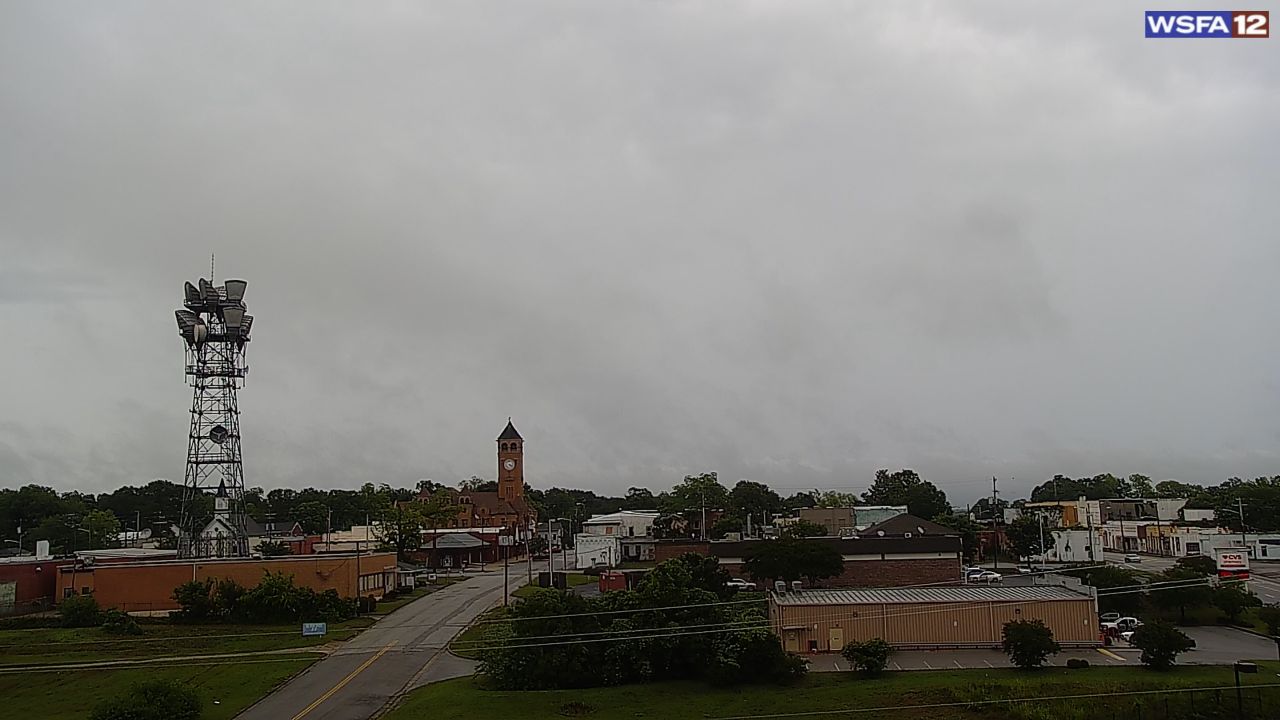
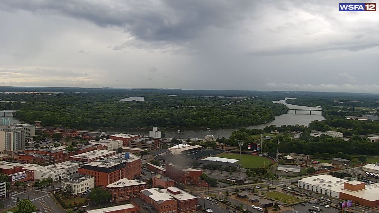
- Tuscaloosa Real-Time Updates: Switch over to check regional traffic flows and seasonal cloud layers surrounding the home territory of the University of Alabama.
🏙️ Regional Travel Planning & Snapshot Data
| Visual Sector / Region | Primary Camera Focus | Key Communities Featured |
|---|---|---|
| Gulf Coastline | White Sand, Surf Swells, Piers | Gulf Shores, Orange Beach, Dauphin Island |
| Central Campuses | University Grounds, Stadiums | Auburn, Tuscaloosa |
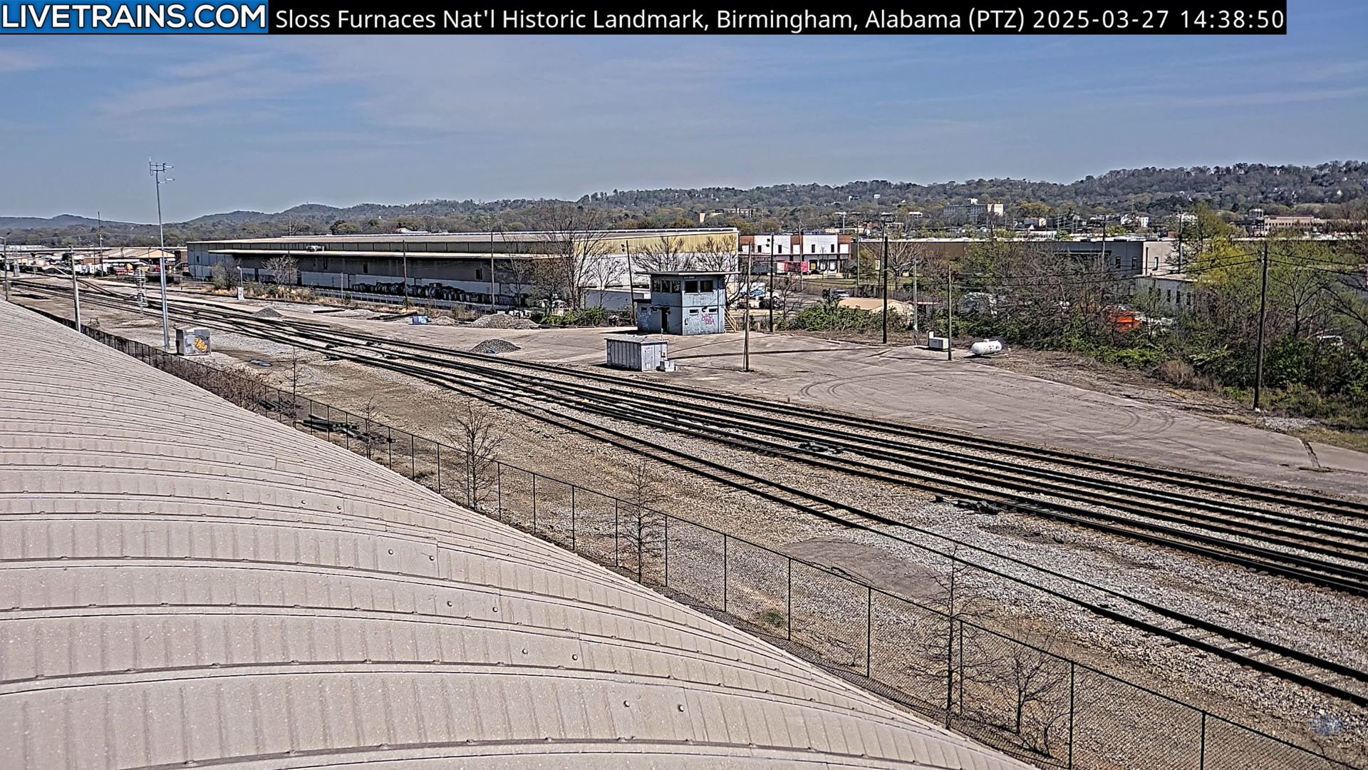
| Northern Hubs | Infrastructure, Traffic, Skylines | Huntsville, Florence, Mobile |
Top Real-World Highlights Beyond the Screen:
- U.S. Space & Rocket Center (Huntsville): Track northern weather patterns near the “Rocket City,” home to the world’s most comprehensive space flight museums.
- Historic Civil Rights Districts: Plan itineraries to educational monuments across Montgomery and the Birmingham Civil Rights Institute.
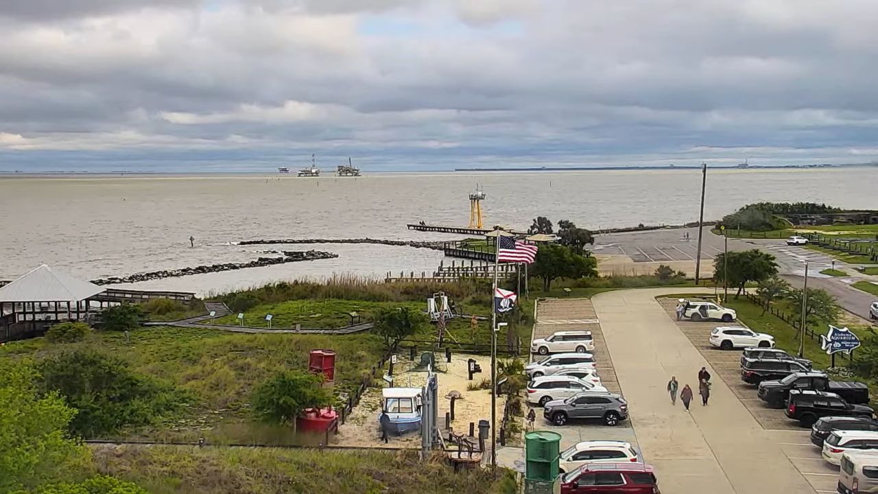
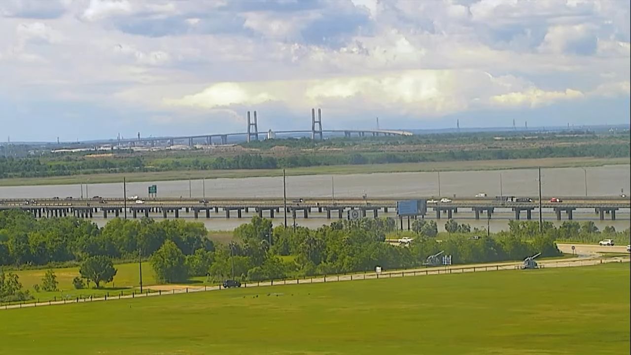
- USS Alabama Battleship Memorial Park: Monitor atmospheric visibility over Mobile Bay, where a historic WWII battleship anchors local maritime heritage.
🌦️ Subtropical Weather & Live Stream Monitoring
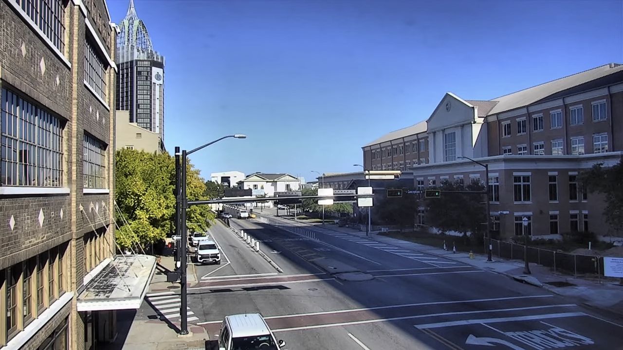
Alabama features a humid subtropical climate that brings long, hot summers and beautifully mild winters. Because intense convective rain bursts, morning sea mists, and seasonal Gulf weather blocks can develop rapidly, this high-definition streaming directory serves as an indispensable visual tool. Utilize our continuous live loops across Pages 1 through 7 to analyze solar exposure, check runway visibility near regional airports, or monitor the Bankhead Tunnel traffic before hitting the road.