Live Cam Amelia Island, FL
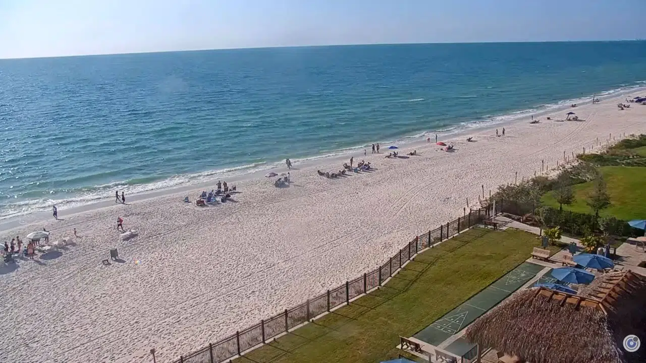
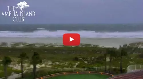
Watch this live HD webcam from the Amelia Island Club in Amelia Island, Florida. Amelia Island, located in the state of Florida, features a live webcam that offers a real-time view of its stunning coastal scenery. This webcam provides an opportunity for viewers to experience the island’s picturesque beaches, vibrant sunsets, and the dynamic atmosphere of this popular tourist destination.
Whether you are planning a visit or simply wish to enjoy the beauty of Amelia Island from afar, the webcam serves as a window into the island’s natural charm and recreational activities.
The webcam captures various aspects of life on Amelia Island, showcasing the serene ocean waves, the lush greenery, and the charming architecture that characterizes the area.
It allows viewers to observe the changing weather conditions, the ebb and flow of beachgoers, and the seasonal changes that enhance the island’s allure.
This visual resource is particularly beneficial for those who are considering a trip, as it provides a glimpse of what to expect in terms of scenery and activities available on the island.
Amelia Island is a very affluent area with several multimillion-dollar homes. There is plenty of recreation and great restaurants to enjoy.
Things To Do
Visitors can explore the island’s rich history by visiting the historic district of Fernandina Beach, where charming Victorian architecture and quaint shops line the streets. The Amelia Island Museum of History provides insights into the island’s past, showcasing exhibits that highlight its unique heritage, including its role in the Civil War and its connection to the Spanish and British colonial periods.
The island is home to several beautiful beaches, perfect for sunbathing, swimming, and beachcombing. Additionally, the Amelia Island State Park offers hiking trails and opportunities for wildlife viewing, where visitors can spot native species such as dolphins, sea turtles, and various bird species. Kayaking and paddleboarding are also popular activities.
Furthermore, the island hosts several annual festivals and events that celebrate its culture, including the Amelia Island Film Festival and the Isle of Eight Flags Shrimp Festival, providing additional opportunities for entertainment and engagement with the local community.