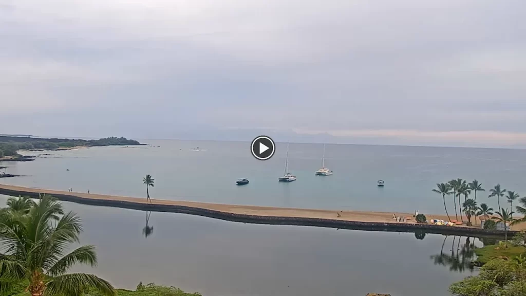
This high-definition optics terminal provides a 24/7 real-time window onto Anaeho’omalu Bay and the recreational lagoon systems at the Waikoloa Beach Marriott Resort. It tracks wave geometries, crowd trends, and meteorological data including trade wind velocities, swell heights, and maritime cloud layers.
Shorebreak Wave Bottlenecks, Lagoon Overlooks, and West Hawaii Logistics
WAIKOLOA BEACH RESORT WEATHERThe panoramic feed assists rescue personnel, snorkelers, and drivers by monitoring rip currents, reef visibility, parking reservoir queues, and traffic along resort avenues.
- Anaeho’omalu Bay Crescent Sandline and Surf Zones: Track intertidal water lines, paddleboard safety, and water clarity.
- Ocean-Fed Lagoon and Resort Swimming Pools: Observe kayak traffic, patio usage, and guest pathways across the grounds.
- Waikoloa Beach Drive Transportation and Access Zones: Monitor lane saturation, shuttle loops, and shopping village parking.
- Kohala Coast Lava Fields and Sky Horizon: Evaluate cloud ceilings, pressure fronts, and visibility.
Logistics, Transit & Recreation Infrastructure Reference Grid
- Physical Anchor Site: Upper Observation Terrace Gantry, Waikoloa Beach Marriott Resort & Spa, 69-275 Waikoloa Beach Drive, Waikoloa, HI 96738
- Target Landmark Footprint: 62-Acre Master-Planned Layout, Anaeho’omalu Bay, Golf Course Fairways, and Retail Districts
- Exact Centroid Coordinates: 19°55′41″N 155°53′10″W (19.9281° N, -155.8861° W)
- Primary Waterway Access: Anaeho’omalu Bay Coves / Kapalaoa Marine Sanctuaries
- Primary Automotive Axis: Waikoloa Beach Drive / Queen Kaahumanu Highway (Route 19)
- Best Daily Viewing Times: 24/7 continuous logging; mid-day highlights beach activity and clarity, while late afternoon captures Kohala Coast sunsets.