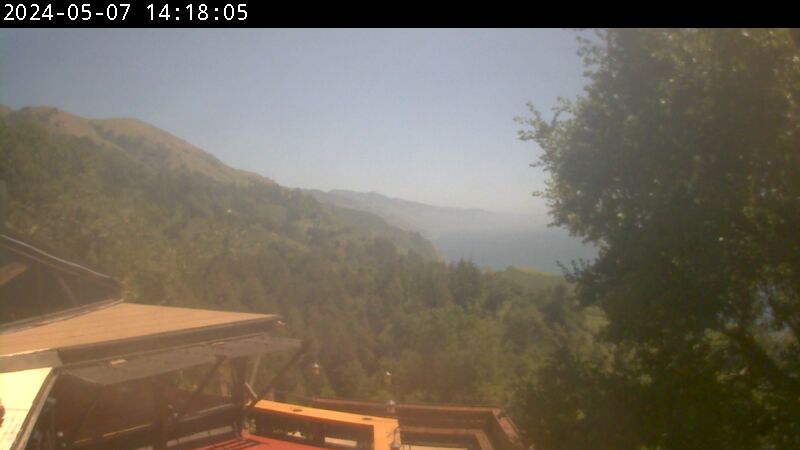
This outdoor camera broadcasts directly from the historic cliffside terrace at Nepenthe Restaurant in Big Sur, California. Perched roughly 800 feet above the Pacific Ocean, this live camera provides an immediate visual checkpoint for highway motorists analyzing mountain road visibility, coastal backpackers tracking wilderness trail safety, and Central Coast travelers monitoring the daily movement of the marine layer.
High-Elevation Cliff Conditions and Pacific Ocean Horizons
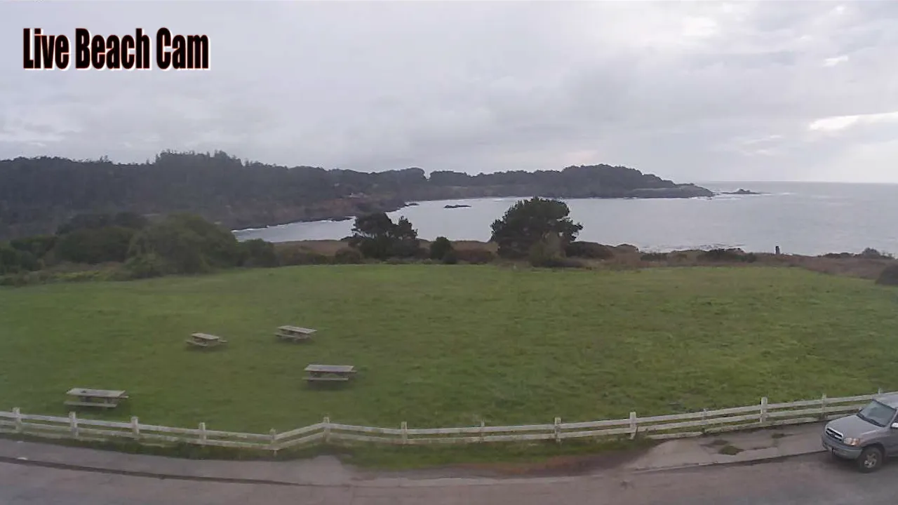
BIG SUR WEATHERThe lens points directly south-southwest across the rugged cliffs where the slopes of the Santa Lucia Range drop directly into the open ocean. The live video feed captures real-time atmospheric changes, shifting low-lying sea mist patterns, and the sweeping coastal horizons that define the region. Viewers can monitor actual wind shear across the mountainside trees, track incoming storm cells moving past the points, or check the immediate public crowd density on the outdoor observation decks.
Because weather patterns along this isolated stretch of Highway 1 are highly volatile and prone to sudden walls of dense marine fog, checking road clarity before driving the winding two-lane blacktop is an essential safety precaution. Local commuters look at the 24/7 viewport to verify that clear skies have opened up before navigating the high-elevation cliff segments, while state park visitors log on to analyze wind speeds and cloud ceilings before heading into the redwood canyons.
Specific Mountain Sectors Framed on the Feed
- The Rugged Coastal Cliffs: Watch real-time ocean swells, crashing white foam waves, and coastal erosion lines along the rocky base.
- The Outdoor Dining Deck: Monitor public visitor capacity, terrace seating availability, and immediate wind movement on the property.
- The Southern Highway 1 Corridor: Track localized marine layer fog thickness, low-lying cloud banks, and roadway visibility along the ridge lines.
- The Open Pacific Horizon: Evaluate changing offshore weather fronts, sunset clarity, and ambient daylight exposure over the marine sanctuary.
Technical Ridge Geography and Route 1 Travel Info
The weather-resistant hardware operates from a high-elevation structural framework, keeping the primary tracking frame focused along the coastal wilderness rim.
- Exact Terrace Coordinates: 36°14’32.4″N 121°45’54.2″W
- Primary Driving Route: California State Route 1 (Pacific Coast Highway)
- Property Base: Nepenthe Restaurant, 48510 Highway 1, Big Sur, CA 93920
This cliffside landmark sits right along the central coastal corridor of Monterey County, situated a short driving connection south from the iconic spans of the Bixby Creek Bridge, minutes from the redwood trails at Pfeiffer Big Sur State Park, and a scenic drive north from the coastal waterfall paths at Julia Pfeiffer Burns State Park.
Practical Wilderness Inquiries for Highway 1 Travelers
Why do motorists check this specific cliffside camera before driving?
This section of the Central California coast holds a highly unique microclimate where dense sea fog can get trapped against the Santa Lucia mountainsides, dropping roadway visibility down to near zero while the inland valleys remain clear. Motorists check the live 24/7 stream to verify actual horizontal visibility across the high-elevation cliffs before committing to the narrow, winding highway turns.
Can you see the historic Bixby Creek Bridge from this camera view?
No. The camera focuses strictly on the southern coastline, the inner mountain ridges, and the ocean horizons directly surrounding the local property decks. The historic concrete arches of the Bixby Creek Bridge are located roughly fifteen miles to the north, placing them well outside the physical viewing scope of this specific restaurant lens.
What should I look out for regarding seasonal road closures in this area?
The steep terrain along the highway is highly sensitive to heavy winter downpours and atmospheric river storm systems that can trigger sudden mudslides and road washouts. Local transit authorities and travelers use this live weather feed to audit immediate rainfall intensity and check hillside wind movement during active winter storm cycles.