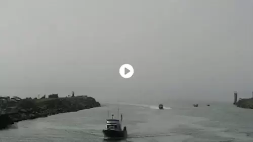
Monitoring high-energy bar crossings, commercial basins, and river currents, this real-time viewport at the Port of Brookings Harbor in Brookings, Oregon, serves as an essential marine transit and weather checkpoint.
Chetco River Bar Crossings, Commercial Basins, and Marine Logistics
BROOKINGS WEATHERThe high-angle perspective captures active shipping channels, jetty walls, and regional seafood infrastructure to assist with coastal maritime navigation.
- The Chetco River Mouth & Ocean Bar: Observe breaking surf and vessel transit configurations.
- The Commercial Fishing Boat Basin: Monitor commercial mooring slips and basin traffic.
- The Public Boat Launch & Mooring Fields: Track local sports angling and recreational staging.
- The Southern Oregon Coastal Horizon: Evaluate incoming weather fronts and marine layer fog.
Logistics, Transit & Infrastructure Reference Grid
- Geographic Axis Anchor: Port of Brookings Harbor, 16330 Lower Harbor Road, Brookings, OR 97415
- Exact Map Coordinates: 42°02’53.2″N 124°16’11.5″W
- Authorized USACE Channel Dimensions: Main Navigation Entrance Channel (14 Feet Deep, 120 Feet Wide) / Turning Basin (14 Feet Deep, 250 Feet Wide, 650 Feet Long)
- Primary Automotive Axis: U.S. Route 101 / Lower Harbor Road