Live Cannes Webcam
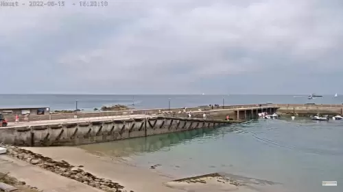
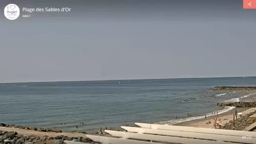
Watch this live HD webcam at Thalès Beach, Palm Beach, and Quai Laubeuf located in Cannes in the Alpes-Maritimes is a department in the Provence-Alpes-Côte d’Azur region in France. It’s located in the country’s southeast corner, on the Italian border and Mediterranean coast. Cannes is widely considered the most prestigious film festival in the world, mainly because of its exclusivity and long history of premiering some of the greatest films of all time. The festival has launched the careers of many prominent filmmakers, like Quentin Tarantino and Steven Soderbergh.
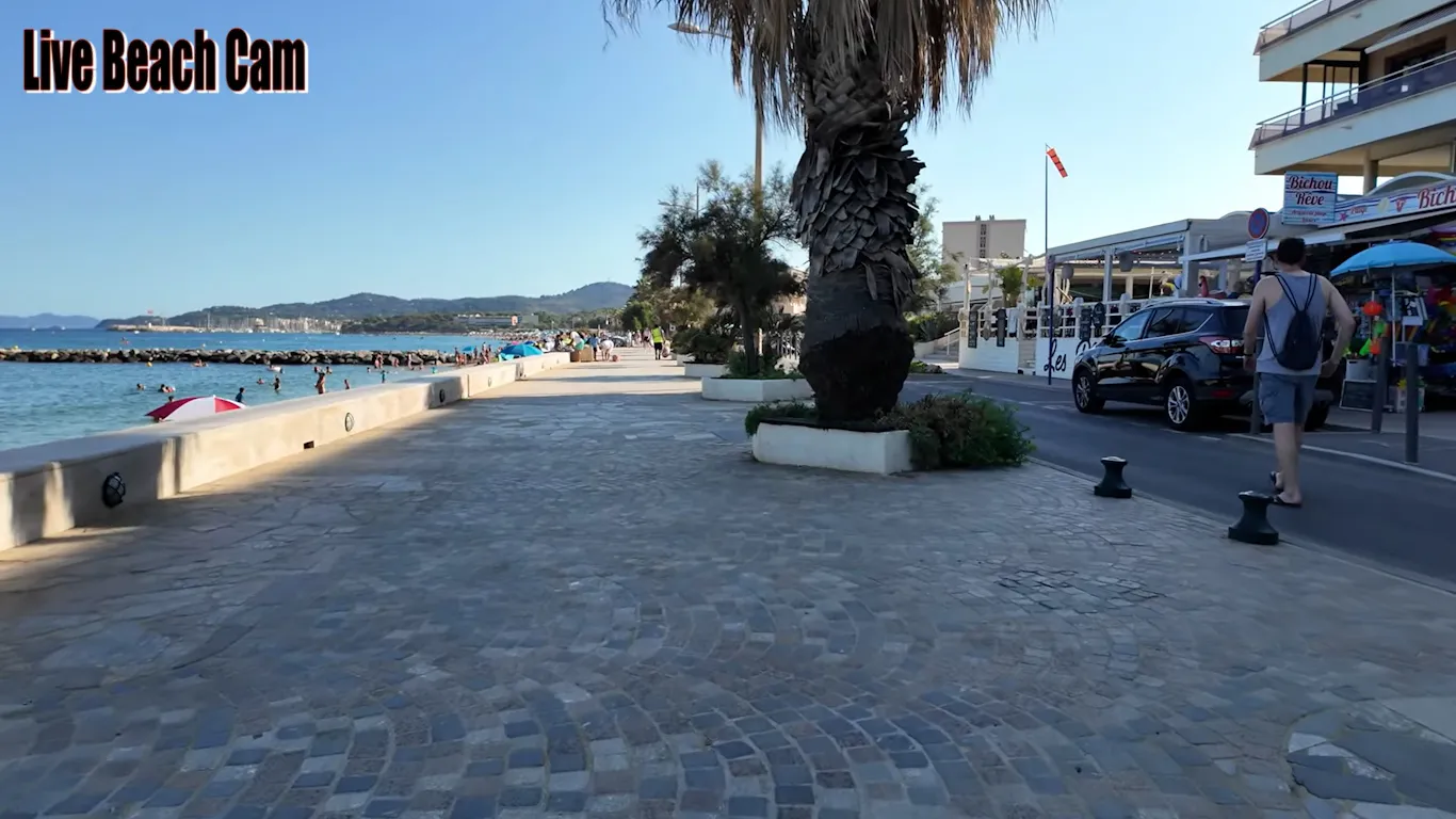
Spending a day at Plage de la Croisette is a must. Here, you can soak up the sun while enjoying a beautiful view of the sea. You can rent a beach chair, bring a towel, and relax. If you’re feeling adventurous, try out some water sports like paddleboarding or jet skiing. The atmosphere is lively, with people soaking up the sun and enjoying delicious snacks from nearby beach bars.
Another highlight of Cannes is the famous Boulevard de la Croisette, where glamour meets everyday life. Walking along this picturesque promenade, you can admire luxury shops, fancy hotels, and gorgeous views of the harbor.
Stop by the Palais des Festivals, where the iconic film festival is held each year. The building’s architecture is impressive, and you might even catch a glimpse of a film star or two! Plus, there are plenty of cafes where you can sit, sip coffee, and enjoy people-watching.
For those interested in culture, Cannes has some charming museums worth exploring. The Musée de la Castre is located in a historic castle and offers fascinating exhibits of art and artifacts from around the world.
The view from the castle grounds is breathtaking, providing a perfect photo opportunity. If you prefer something more contemporary, check out the Centre d’Art La Malmaison, which showcases modern art. These spots give you a taste of the culture that makes Cannes more than just a beach destination.