Live Cam Marketplace Burlington, VT
Take a look at this main street live webcam in Burlington, Vermont. Church Street Marketplace, a four block pedestrian street in the heart of the downtown, is lined with shops and restaurants of all descriptions and interest.
The Church Street Marketplace is a vibrant pedestrian mall. It serves as a central hub for shopping, dining, and community events. This lively area is renowned for its unique blend of local boutiques, national retailers, and a diverse array of restaurants. The marketplace is characterized by its charming brick walkways, outdoor seating, and an inviting atmosphere. Furthermore, it encourages leisurely strolls and social interactions.
In addition to its retail and culinary offerings, the Church Street Marketplace hosts a variety of events throughout the year. This includes farmers’ markets, art fairs, and live music performances. These events not only enhance the cultural fabric of Burlington. Additionally, it also fosters a sense of community among the diverse population that frequents the area.
The marketplace is often bustling with activity, drawing in crowds who come to enjoy the vibrant street life and the picturesque surroundings of the historic downtown.
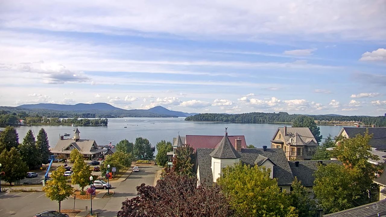
The Church Street Marketplace is not just a shopping destination. Furthermore, it is a reflection of Burlington’s unique character and spirit. With its stunning views of the Green Mountains and Lake Champlain, the marketplace provides a picturesque backdrop for visitors to explore. Whether one is looking to indulge in local cuisine, shop for handmade crafts, or simply soak in the lively atmosphere, the Church Street Marketplace stands out as a quintessential part of Burlington’s charm and appeal.
Things To Do
Art lovers will find delight at the nearby Fleming Museum of Art. This small gem holds an impressive collection of art from various cultures and periods. Also, the museum often features special exhibits that showcase local artists and contemporary works. Visitors can easily spend an afternoon wandering through the galleries, soaking up the creativity and inspiration.
For those seeking a taste of local flavors, Church Street is lined with delicious restaurants and eateries. You can sample everything from freshly caught seafood to scrumptious farm-to-table dishes. Don’t miss trying a scoop of the famous Ben & Jerry’s ice cream, a beloved treat that started in Vermont. The variety of food available means there’s something for everyone, whether you’re looking for a quick bite or a sit-down meal with friends and family.
As the day winds down, consider enjoying live music or a performance at a nearby venue. Burlington is known for its vibrant arts scene, with frequent concerts and events taking place just a short distance from the marketplace. Many bars and restaurants feature local musicians, adding to the lively ambiance of the area. Spending an evening listening to music under the stars is a perfect way to cap off your day, surrounded by the friendly spirit of Burlington.