This localized overwatch network provides high-vantage telemetry from the master lens collection stationed across the sugar-white sand barriers of Pinellas County. By compiling real-time feeds from primary intersections, beachfront boardwalks, and hospitality sun decks, this master spatial index assists transit authorities, local mariners, and incoming travelers in tracking human densities and sub-tropical weather patterns before departing mainland interchanges. These active streaming matrices allow immediate validation of public asset parameters, scanning multi-angle views where high-density tourist arteries cross the Gulf of Mexico shipping approaches.

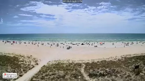
Pier 60 Festival Bottlenecks, Mandalay Avenue Overlooks, and Barrier Island Logistics
CLEARWATER WEATHER
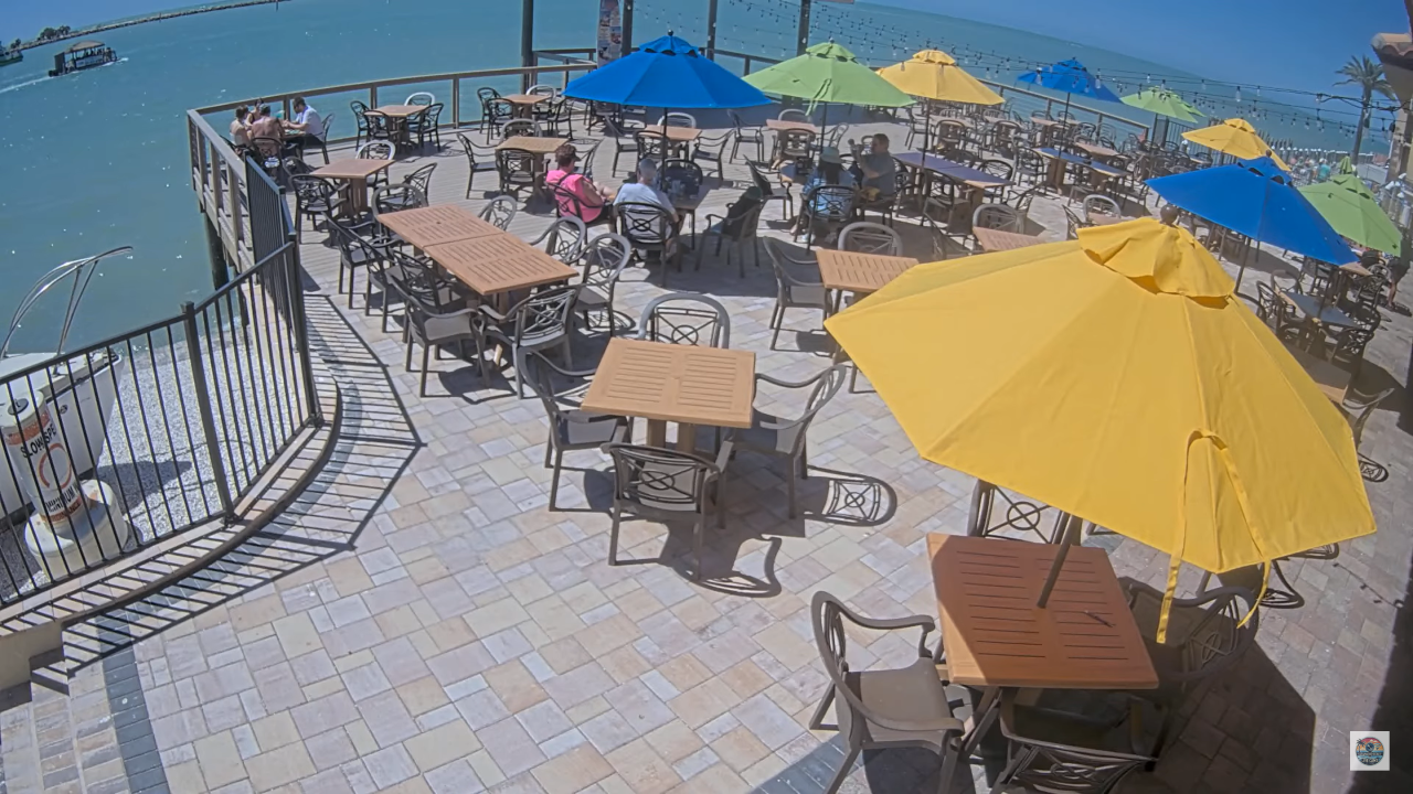
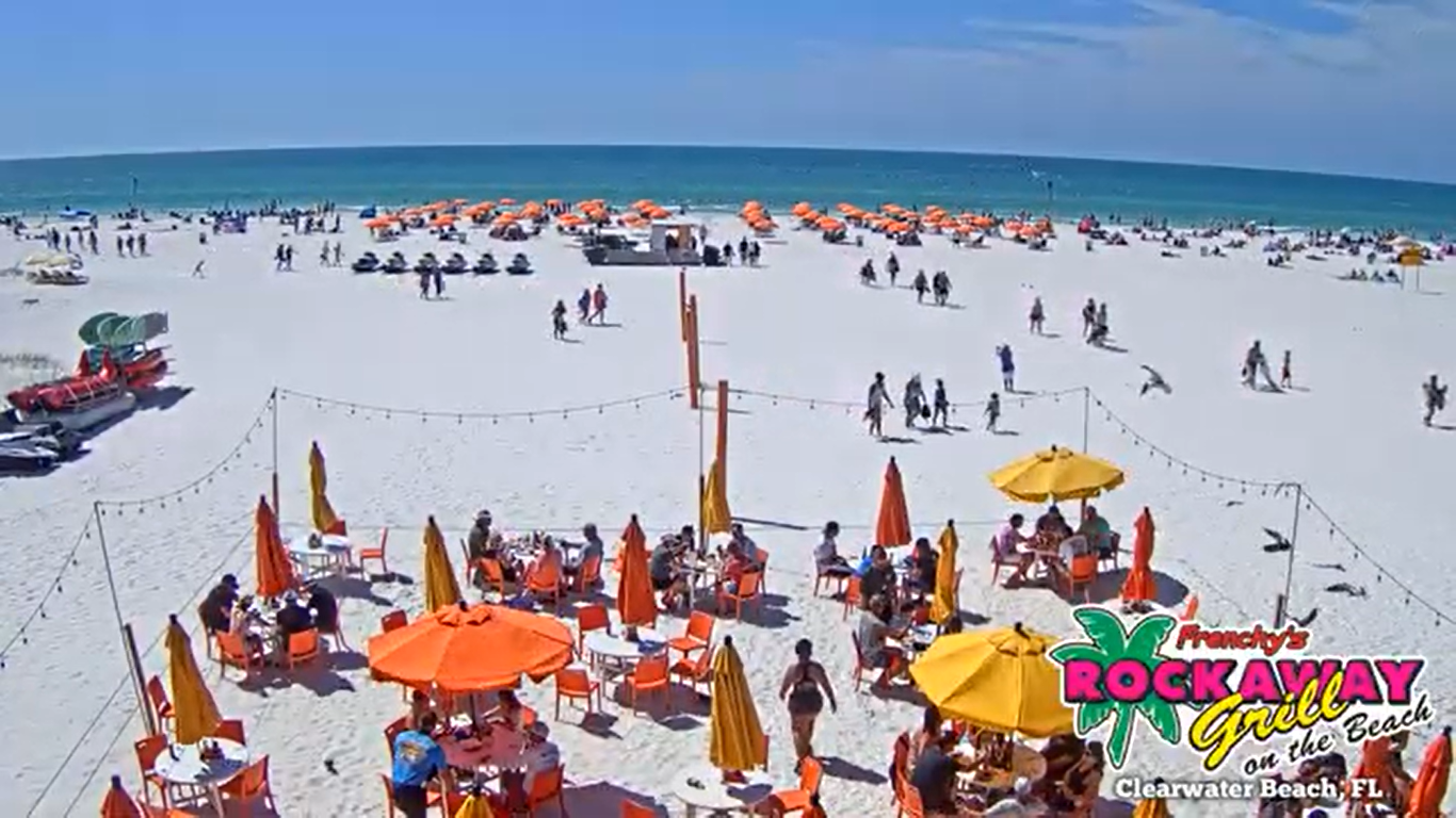
The comprehensive multi-lens web gantry maps out the main thoroughfares where international vacationers meet the municipal transit pipelines of the Florida Gulf Coast. Navigating this aggregated visual tier allows logistics coordinators to map freight vehicle saturation through the central beach roundabout, monitor crowd assembly margins during the nightly sunset celebrations, and track beach umbrella deployment counts along the water’s edge.
Reviewing these real-time optics pipelines allows public safety personnel and daily commuters to bypass highway queues along the Memorial Causeway, optimize shuttle staging windows for the Clearwater Ferry, and evaluate changing marine microclimates across the open bay corridors.
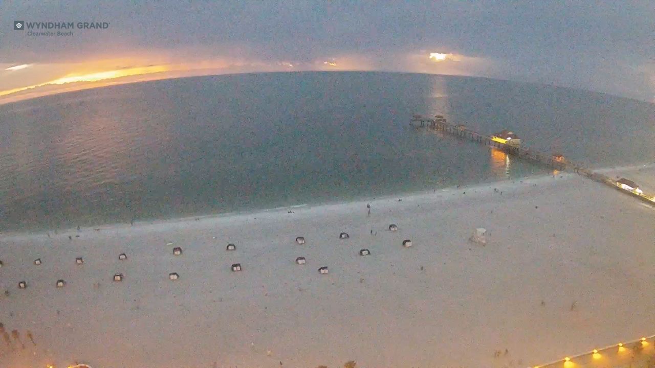
- The Pier 60 Boardwalk and Staging Plazas: Track nightly festival artisan setups, street performer crowd rings, open-air foot traffic bottlenecks, and overwater walkway capacities.
- The Mandalay Avenue Commerce Lines: Observe vehicle lane saturation, delivery truck pacing, storefront awning shelter use, and retail sidewalk queues across the northern sector.
- The South Gulfview Waterfront Resorts: Monitor pool deck assembly distributions, tiki bar line queues, hospitality entrance valets, and shoreline sunbathing densities.
- The Mandalay Channel and Gulf Approach Horizon: Evaluate open maritime shipping fairway clarity, incoming tropical storm front elevations, cloud ceilings, and visibility markers.
Logistics, Transit & Geographic Infrastructure Reference Grid
- Physical Anchor Site: Municipal Beachfront Gantry Network, Central Barrier Island Grid, Clearwater Beach, Pinellas County, FL 33767
- Target Landmark Footprint: Sprawling Gulf view Corridors at Pier 60, Hospitality Sun Decks at the Wyndham Grand, Entertainment Plazas at Shephard’s Resort, and Deep-Water Vessel Channels over the Mandalay Approach
- Exact Centroid Coordinates: 27°58′36″N 82°49′51″W (Latitude: 27.9767° N, Longitude: -82.8308° W)
- Primary Waterway Access Points: Clearwater Pass Shipping Inlets / Mandalay Channel Fairways / Atlantic Intracoastal Waterway
- Primary Automotive Axis: State Road 60 (Memorial Causeway) / Mandalay Avenue / Gulfview Boulevard / Coronado Drive / Sand Key Bridge
- Best Daily Viewing Times: 24/7 continuous data logging. Reviewing this central map layer during seasonal festival hours exposes peak pedestrian bottleneck lines, while auditing early morning frames outlines regional highway transit lines with complete clarity.
- Regional Transit Context: Positioned securely as the geographical hub for all sub-district beach cameras, anchoring transit safety mapping, maritime weather forecasting, and emergency barrier island evacuation tracking.