Operating as the definitive visual indexing node for South America’s northern gateway, this real-time multi-camera portal coordinates the critical deep-water Caribbean shipping ports, high-altitude Andean transit systems, and dense metropolitan thoroughfares across Colombia. Serving as an essential logistical checkpoint for tracking heavy commercial freight movements, volatile high-altitude valley fog shelves, and rapid-onset equatorial mountain storms, this centralized directory houses vital eyes-on data spanning the Pacific shipping locks out to the remote Caribbean shelves.
Port dispatchers analyze real-time container vessel berth availability before docking multi-ton cargo carriers, daily commuters evaluate vehicle lane saturation curves before entering the mountain highway networks, and regional travelers monitor severe weather fronts and open-ocean groundswell wave lines.
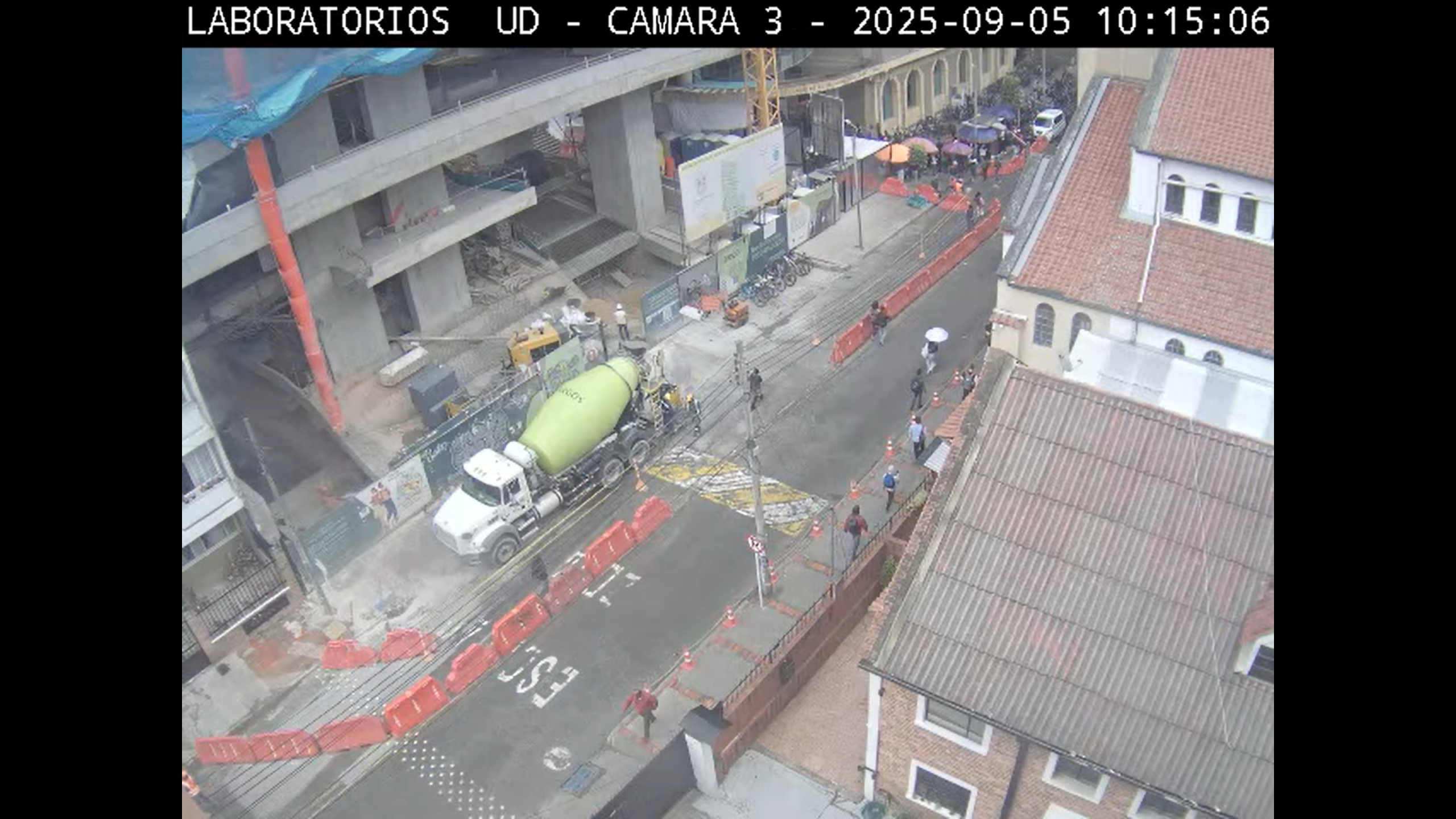

Integrated Regional Monitoring Sectors and Port City Transit Logistics
This directory provides the exact geographical and infrastructure zones monitored across the territorial grid, giving mariners, freight operators, and motorists real-time visibility into local transport saturation and environmental hazards:
- The Bogotá Sabana Metropolitan Grid: Coordinating live views of multi-lane vehicle lane queues along the Avenida de la Esperanza and local academic plazas at the Francisco José de Caldas District University to track high-altitude capital city transit flows.
- The Aburrá Valley and Medellín Expressway Corridors: Indexing high-vantage aerial lenses across Antioquia to monitor city-center highway bottlenecks, commuter saturation lines, and transit velocity profiles across the hillside Metrocable transport infrastructure.
- The Cartagena de Indias Caribbean Shipping Ports: Aggregating elevated harbor-line gantries to monitor international cargo terminal docking queues, cruise liner berths, and commercial maritime vessel shipping lanes navigating the lower bay approach channels.
- The Central Coffee Triangle (Eje Cafetero) Transit Pipelines: Tracking strategic highway cameras across the central volcanic cordillera to monitor commercial trucking lines, regional road surface asphalt weathering parameters, and subalpine winter rain washouts.
Logistics, Transit & Equatorial Infrastructure Reference Grid
- Directory Niche Anchor: South American Multi-Camera Index, Deep-Water Shipping Trackers, and Metropolitan Traffic Sentinels.
- Geographic Axis Anchor: Central District Plaza Core, Avenida El Dorado, Bogotá, Distrito Capital, 111321, Colombia
- Primary Waterway Access: Caribbean Sea Shipping Channels / Pacific Ocean Outer Approaches / Magdalena River Inland Freight Pipelines
- Primary Automotive Axis: Pan-American Highway Pipeline / Avenida El Dorado Axis / Autopista Norte Commercial Corridors
- Best Daily Viewing Times: Peak morning slots (6:30 AM to 9:00 AM) COT for auditing dense valley advection fog lines and tracking early commuter bottlenecks; late afternoon windows for monitoring regional traffic dispersal loops, outbound freight fleet queues, and illuminated harbor channels.
- Regional Transit Context: Situated securely at the continental junction of Central and South America, anchoring the highest-volume marine trade, administrative, and aviation transport pipelines of the equatorial zone, and serving as the premier multi-camera gantry for regional logistics.