Track real-time coastal elements and beach crowd densities across the Mid-Atlantic with this comprehensive directory of live Delaware webcams. Serving as an essential digital dashboard for summer staycationers, Atlantic surf-spotters, and local commuters, this 24/7 network provides direct visual monitoring over the state’s premier sandy coastlines, bustling wooden boardwalks, and active tidal waterways.

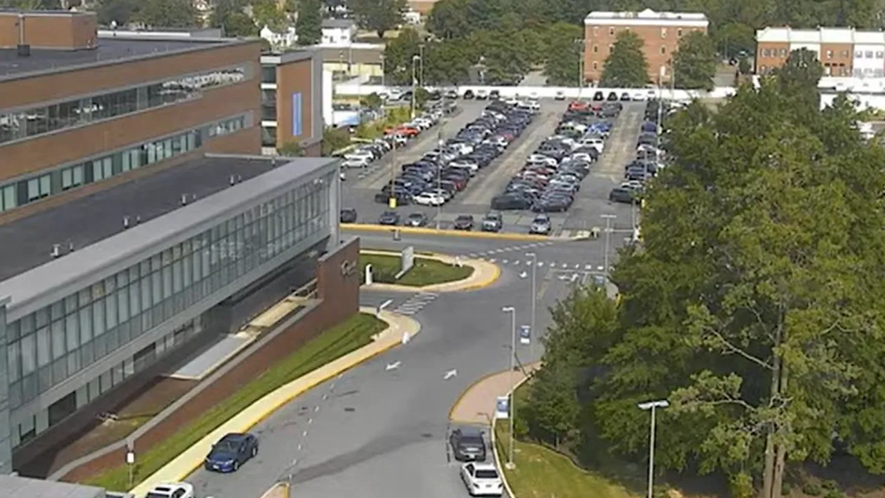

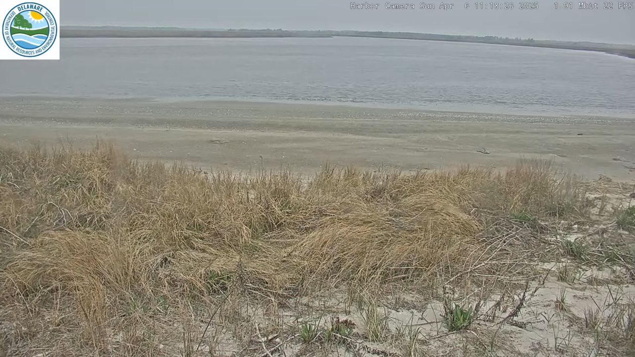
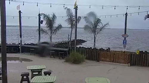
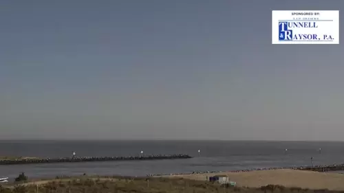
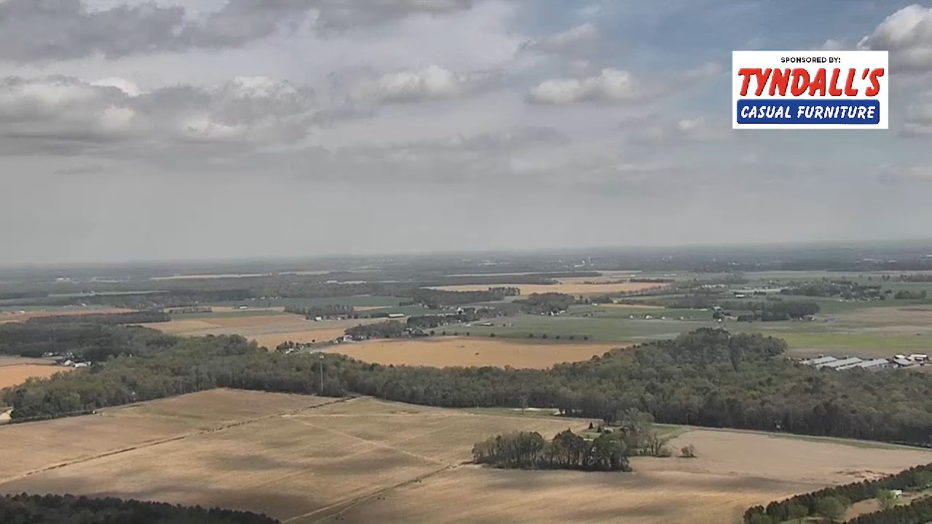
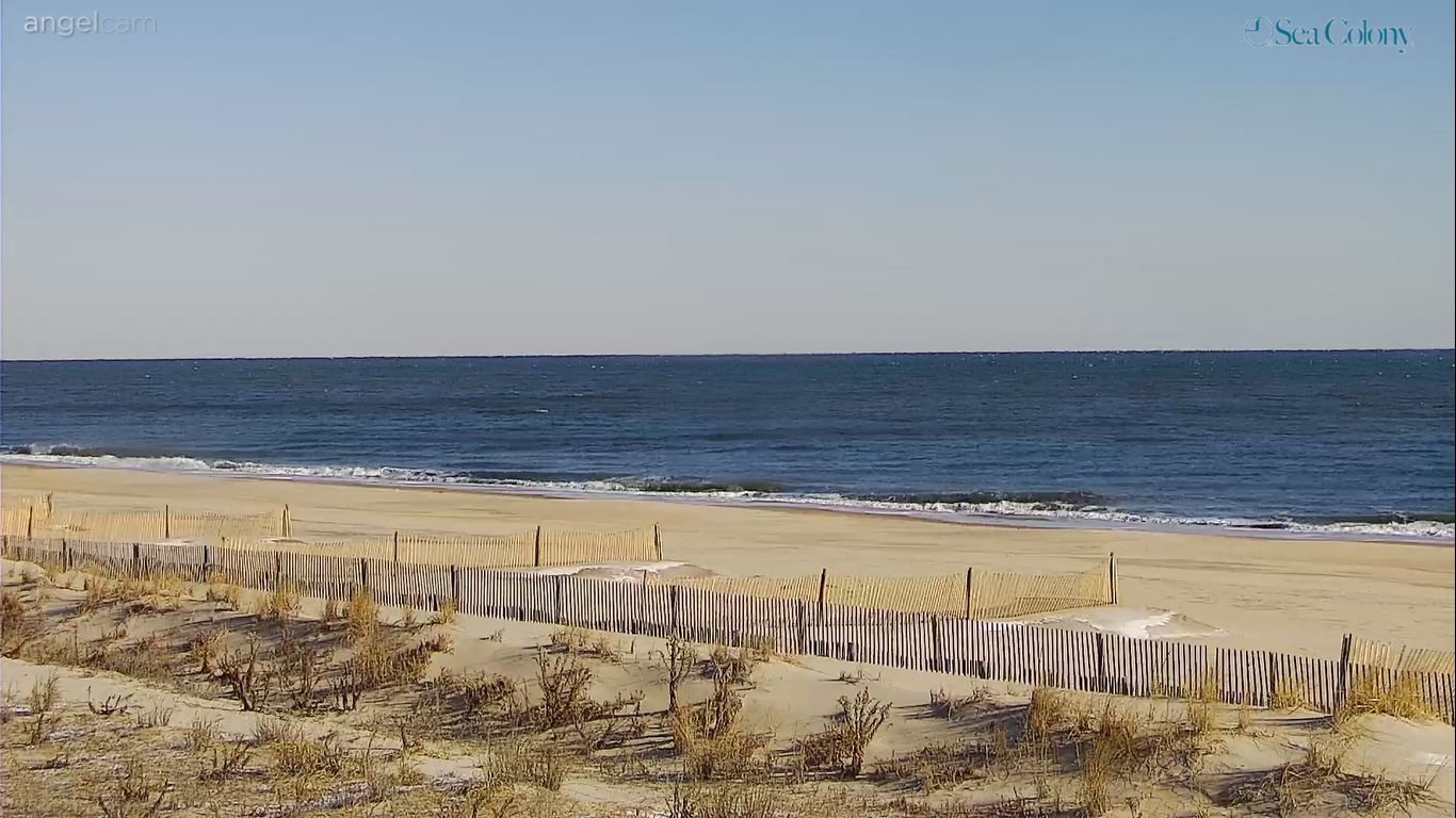



Monitoring the Atlantic Coastline and Mid-Atlantic Transit Corridors
Delaware functions as a beloved seaside escape for generations of East Coast travelers. Looking through our active state stream matrix, visitors can instantly check real-time sunbathing crowd space during peak summer holiday weekends or evaluate fast-moving Atlantic rain bands before driving down to the shore.
Life along these historic shorelines revolves around real-time weather and tide changes. From the grand Victorian oceanfront views at the Boardwalk Plaza Hotel to the active boating channels of the Lewes Yacht Club, these live lenses remove all the guesswork for travelers. Whether you are tracking sand conditions at Bethany Beach, checking the wind chop across Rehoboth Bay from the Dewey Beach Lions Club pier, or monitoring weather patterns moving past the Mispillion River in Milford, this network keeps you connected to current conditions.
Featured Delaware Monitoring Nodes to Track On Screen
As you evaluate regional beach activity and incoming weather fronts across the coast, keep your eyes focused on these essential visual anchors:
- The Rehoboth Boardwalk Grid: High-definition cameras tracking pedestrian flows, beach umbrellas, and breaking surf lines outside the Boardwalk Plaza Hotel.
- The Dewey Beach Waterfront: Viewports mapping out watercraft transit across Rehoboth Bay and ocean-facing resort conditions.
- The Lewes Harbor Infrastructure: Continuous streams tracking traditional maritime architecture, yacht slips, and coastal weather conditions near the Delaware Bay mouth.
- The Coastal Inland Waterways: Lenses framing the Mispillion River and Pot-Nets Bayside channels in Long Neck to track local boating safety.
Regional Transit Hubs & Coastal Navigation
Our Delaware tracking directory aligns its primary data points along the narrow Eastern Seaboard peninsula, making it simple to gauge coastal traffic before hitting the road.
- Central Rehoboth Beach Coordinates: 38°42’57.2″N 75°04’33.5″W (38.7159° N, -75.0760° W)
- Primary Coastal Highway: Delaware Route 1 (Coastal Highway Corridor)
- Central Waterways Anchor: The Mispillion River Canal Entrance, Milford, DE 19963
Utilizing these strategic coordinate baselines allows beachgoers to efficiently track storm blocks shifting north from Maryland, analyze coastal road traction near Bethany Beach, or map out transit routes navigating toward Cape Henlopen State Park.
Reading the Mid-Atlantic Sky: Coastal Seasons & Best Watching Times
Delaware experiences a distinct maritime climate heavily moderated by the Atlantic Ocean and Delaware Bay, bringing breezy, sun-drenched summers and crisp, windswept winters.
- The Summer Staycation Rush: Open the beach and boardwalk feeds during July and August afternoons between 11:30 AM and 3:30 PM Eastern Time (ET) to check live sand crowd densities, verify bright blue sky clarity, and watch families filling the central resort zones.
- The Nor’easter Storm Watch: Keep the oceanfront lookouts active during October and November gale events. The powerful offshore winds generate massive, explosive waves crashing violently over the sand drifts, offering a highly dramatic visual display.
Frequently Asked Questions
Why do beachgoers use these live Delaware webcams?
Because Atlantic maritime weather, sea fog, and coastal rain bands can roll over the Delaware Shores within a matter of minutes, local holidaymakers, dog walkers, and surfers use this live directory to instantly verify actual wave heights, check cloud visibility, and monitor rainfall before departing.
Is tax-free shopping visible on the cameras?
While our camera network focuses on tracking the natural beauty, boardwalk traffic, and waterways of the resort areas, the broader Rehoboth and Dewey beach footprint is world-renowned for tax-free boutique shopping along Rehoboth Avenue and the nearby Route 1 outlet corridors.
Are these coastal beach camera streams active during the winter?
Yes. The entire Delaware camera matrix operates 24/7 year-round, serving as a beautiful visual resource for viewers who want to catch the dramatic contrast of completely quiet, frost-covered winter sands meeting the working commercial horizons of the First State under crisp, freezing blue skies.