Peninsular Transportation & Intermodal Axis: Live Matrix of Georgia Traffic Networks

This high-vantage structural hub index compiles the continuous, distributed network of live telemetry assets monitoring the State of Georgia. Programmed as a synchronized regional visual matrix, this system captures real-time data on urban pedestrian crowd saturation, interstate highway pipeline velocity, heavy rail corridors, and sub-tropical weather fronts across the state’s diverse topographical zones.
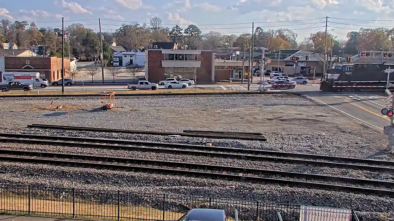
Piedmont Rail Transportation Axis: Live Austell Norfolk Southern Station Webcam Piedmont Rail Transportation Axis: Live Austell Norfolk Southern Station Webcam
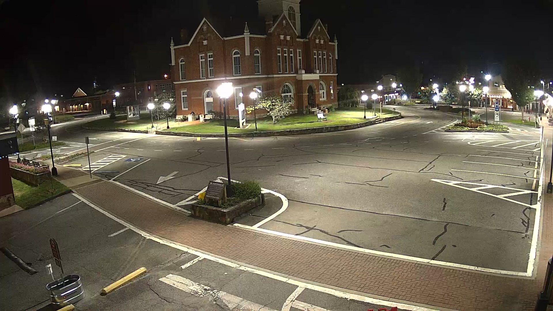
Live Blairsville Plaza Webcam: Blue Ridge Mountain Transit Axis Live Blairsville Plaza Webcam: Blue Ridge Mountain Transit Axis
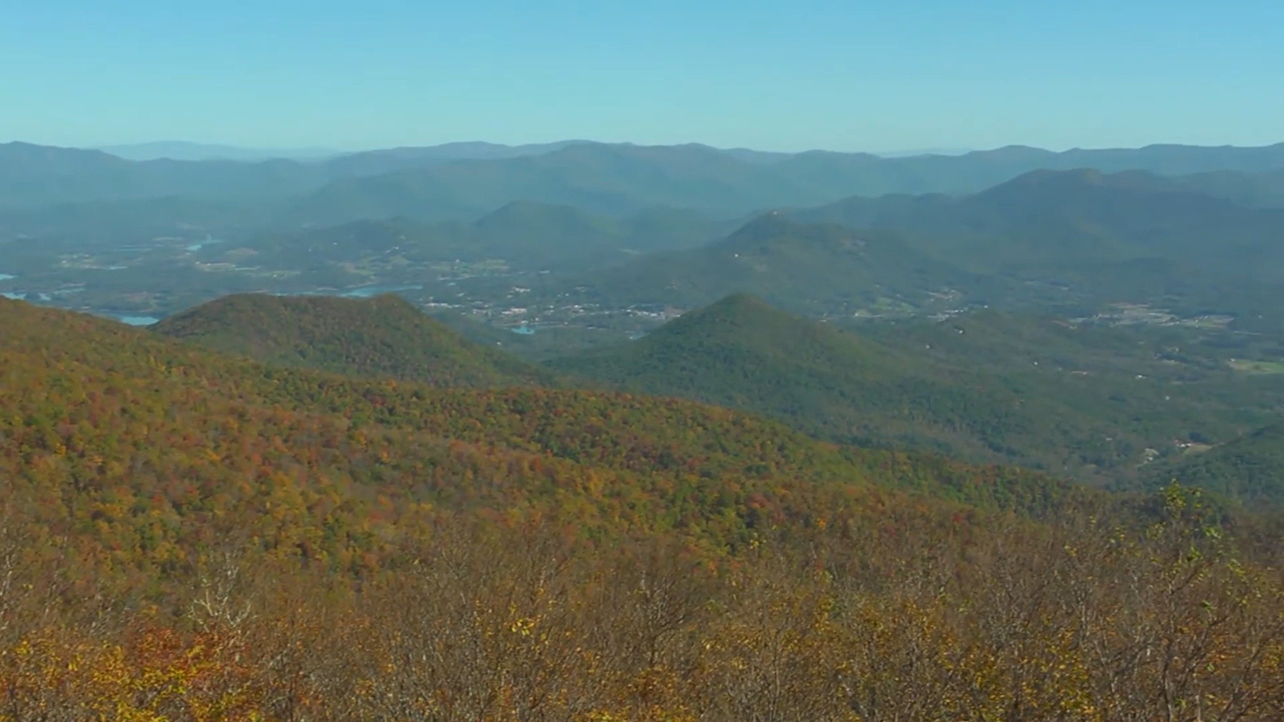
Appalachian Montane Spine: Live Brasstown Bald Peak Webcam Appalachian Montane Spine: Live Brasstown Bald Peak Webcam
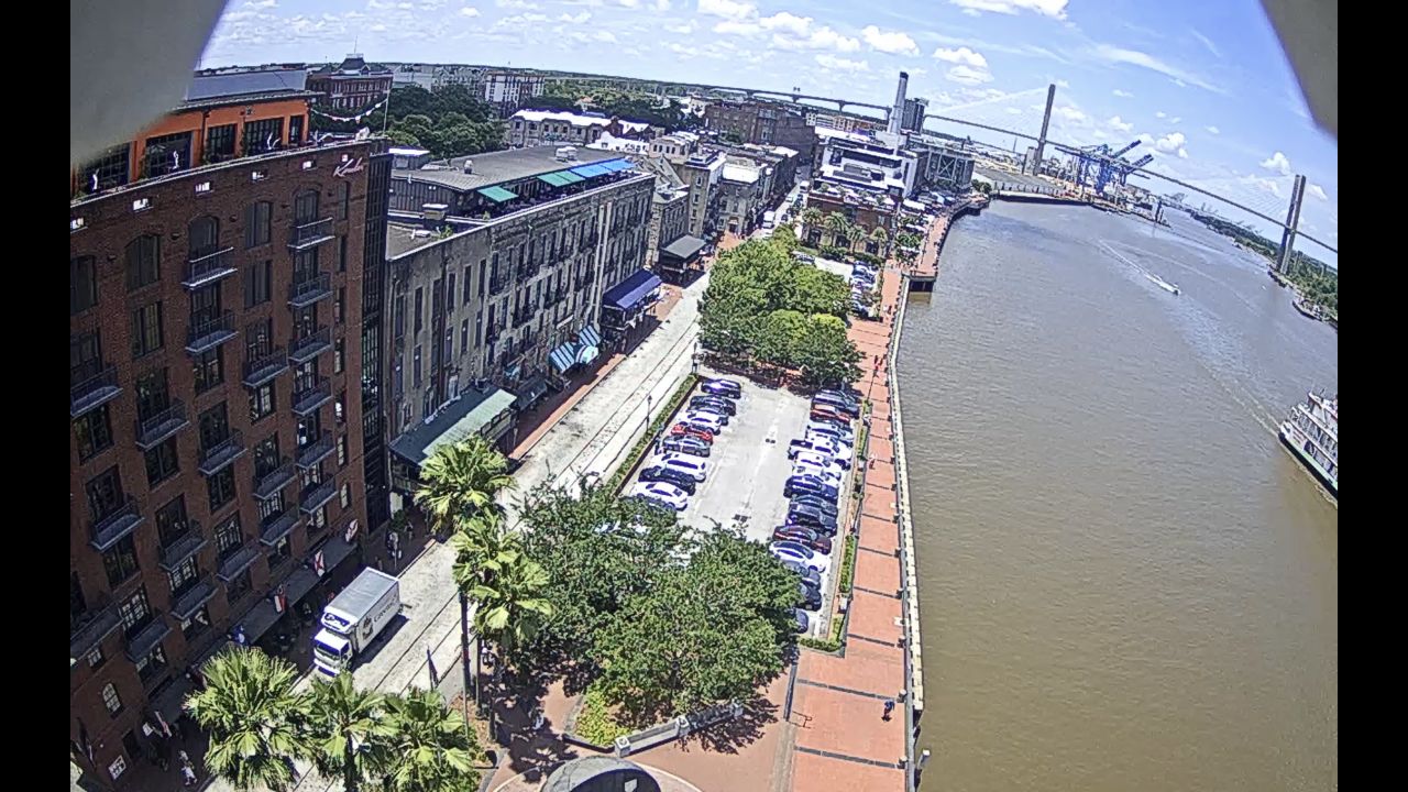
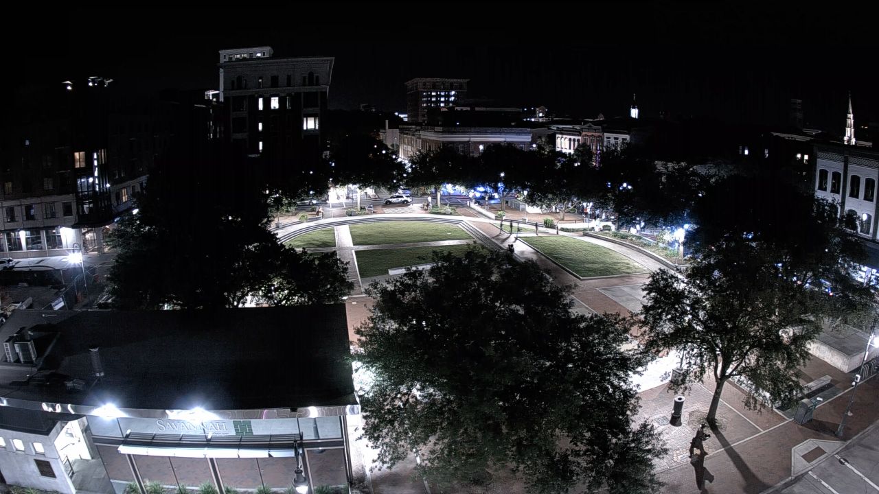
Savannah River Maritime Axis: Live Marriott Savannah Riverfront Webcam Savannah River Maritime Axis: Live Marriott Savannah Riverfront Webcam
Blue Ridge Alpine Transit Axis: Live Helen Bavarian Village Webcam Blue Ridge Alpine Transit Axis: Live Helen Bavarian Village Webcam
Live Savannah Multi-Webcam Regional Directory: Savannah River Maritime Axis Live Savannah Multi-Webcam Regional Directory: Savannah River Maritime Axis
Live Tybee Island Multi-Webcam Regional Directory: Chatham County Maritime Axis Live Tybee Island Multi-Webcam Regional Directory: Chatham County Maritime Axis
Oconee River Sports Axis: Live Sanford Stadium Hub Webcam Oconee River Sports Axis: Live Sanford Stadium Hub Webcam
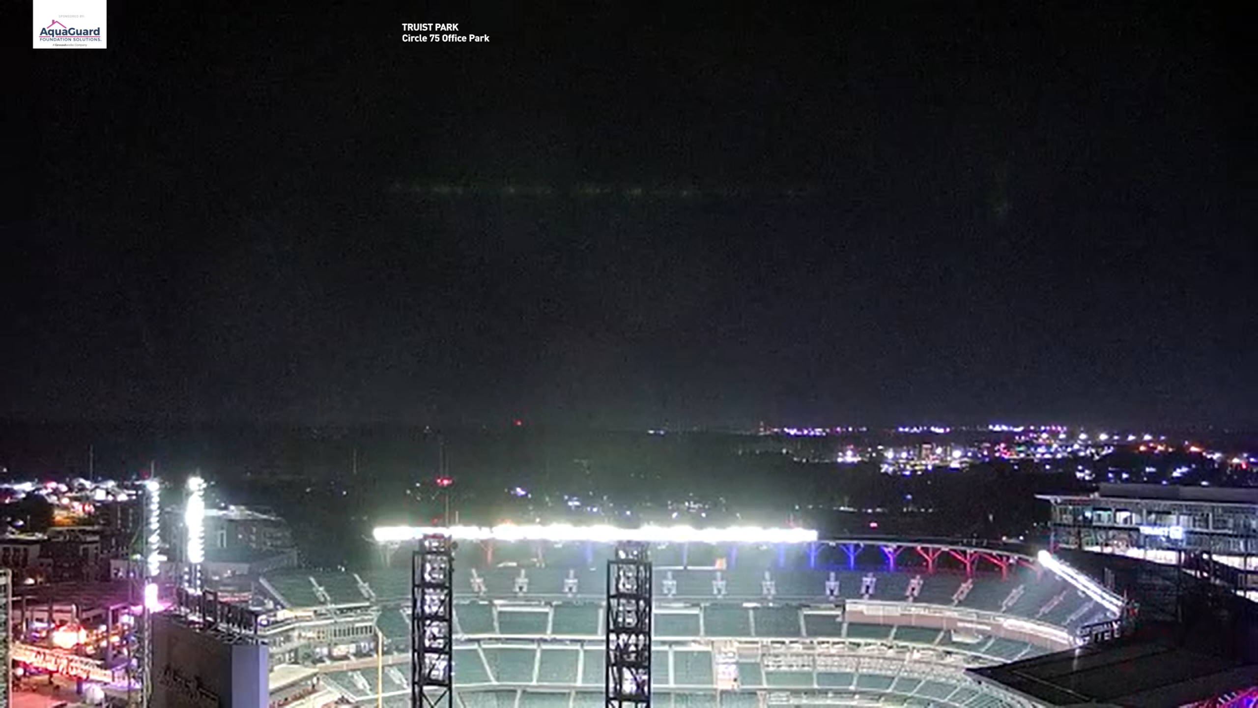
Ballpark Plaza Overlook: Live Truist Park Webcam Ballpark Plaza Overlook: Live Truist Park Webcam
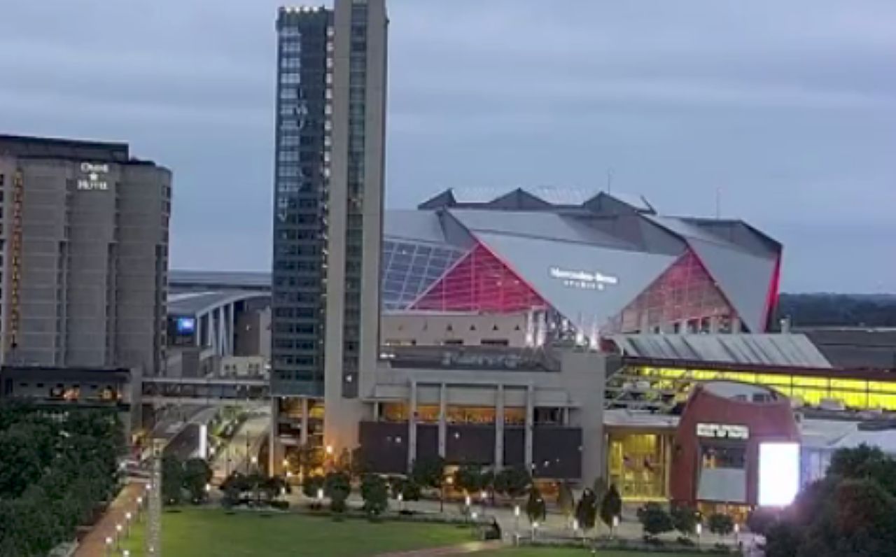
Piedmont Sports Transit Spine: Live Mercedes-Benz Stadium Webcam Piedmont Sports Transit Spine: Live Mercedes-Benz Stadium Webcam
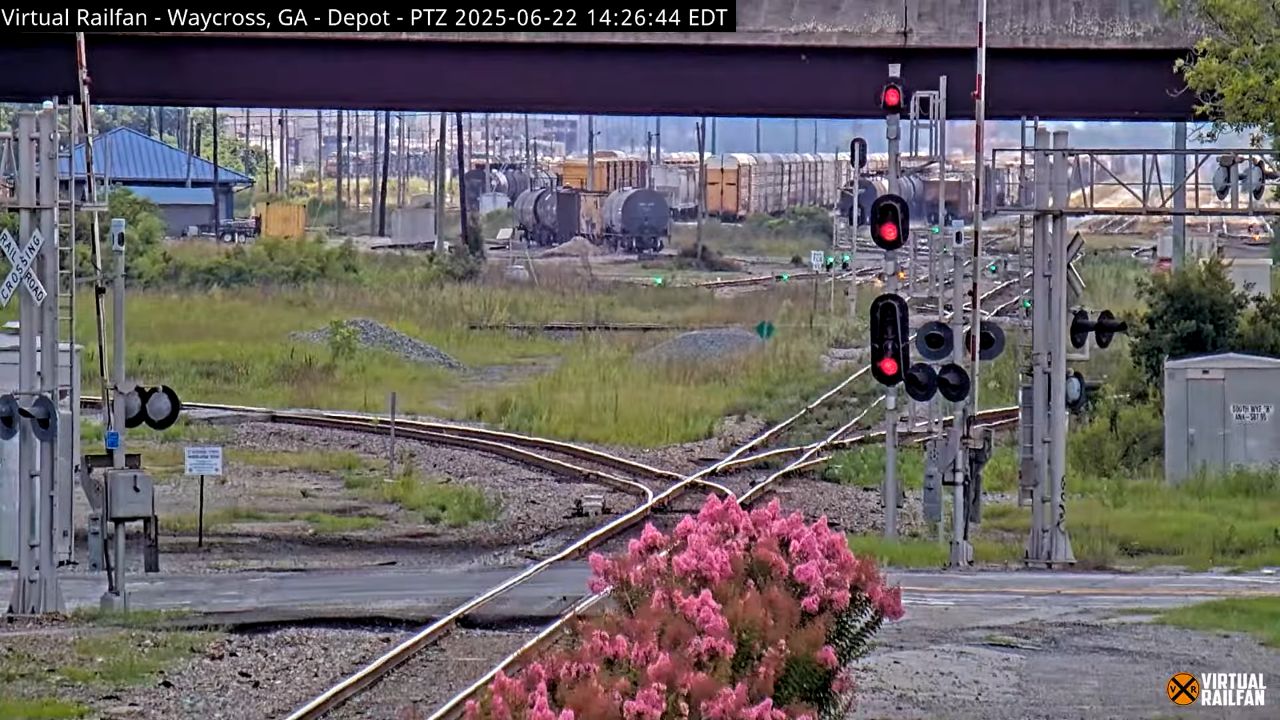
Okefenokee Basin Logistics Axis: Live Waycross Rail Hub Webcam Okefenokee Basin Logistics Axis: Live Waycross Rail Hub Webcam
Savannah River Maritime Axis: Live Hyatt Regency Riverfront Webcam Savannah River Maritime Axis: Live Hyatt Regency Riverfront Webcam
Ridge and Valley Ecological Spine: Live Berry College Bald Eagle Nest Cam Ridge and Valley Ecological Spine: Live Berry College Bald Eagle Nest Cam
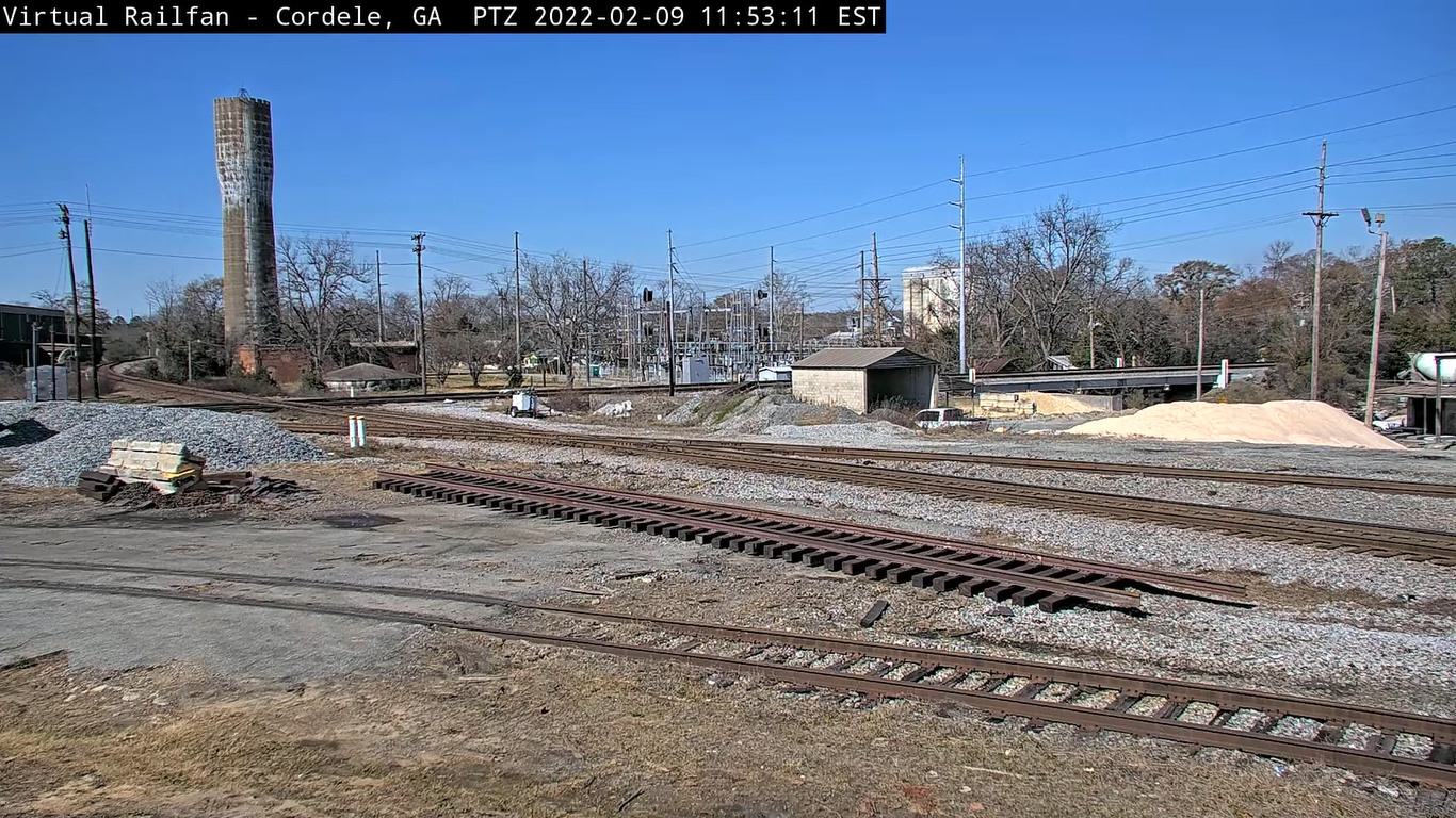
Upper Coastal Plain Agricultural Axis: Live Cordele Excursion Rail Webcam Upper Coastal Plain Agricultural Axis: Live Cordele Excursion Rail Webcam
Piedmont Metropolitan Axis: Live Atlanta Cams Master Hub Piedmont Metropolitan Axis: Live Atlanta Cams Master Hub
Live Folkston GA Railcam: Southeastern Freight Transit Choke Point Live Folkston GA Railcam: Southeastern Freight Transit Choke Point
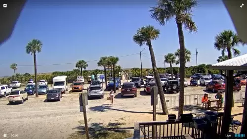
Live Tybee Island Parking Lot Webcam: North Beach Transit Axis Live Tybee Island Parking Lot Webcam: North Beach Transit Axis
Savannah River Industrial & Ecosystem Axis: Live Elba Island Webcam Savannah River Industrial & Ecosystem Axis: Live Elba Island Webcam
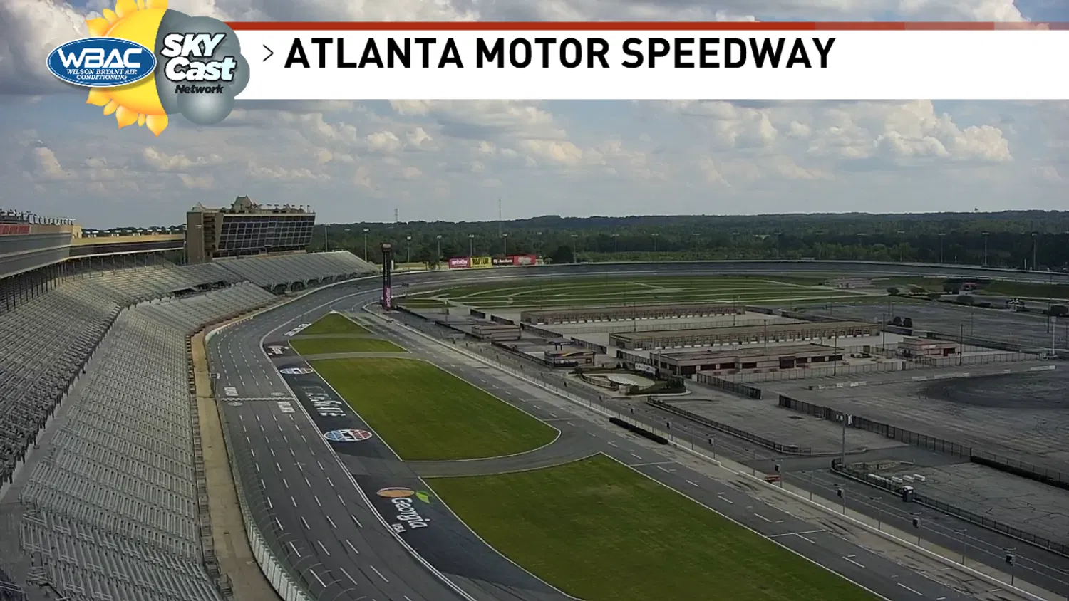
EchoPark Speedway Live Webcam: High-Speed Racing Oval EchoPark Speedway Live Webcam: High-Speed Racing Oval
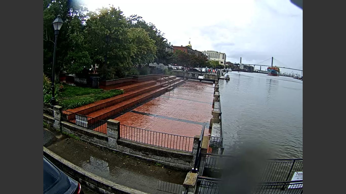
Savannah Riverfront Civic Axis: Live World War II Memorial Webcam Savannah Riverfront Civic Axis: Live World War II Memorial Webcam
Savannah Waterfront Perimeter Axis: Live West Bay Street Skyline Webcam Savannah Waterfront Perimeter Axis: Live West Bay Street Skyline Webcam
Live Spanky’s Surf Webcam: Tybee South End Maritime Axis Live Spanky’s Surf Webcam: Tybee South End Maritime Axis
Live Savannah Pilots Dock Webcam: Savannah River Channel Axis Live Savannah Pilots Dock Webcam: Savannah River Channel Axis
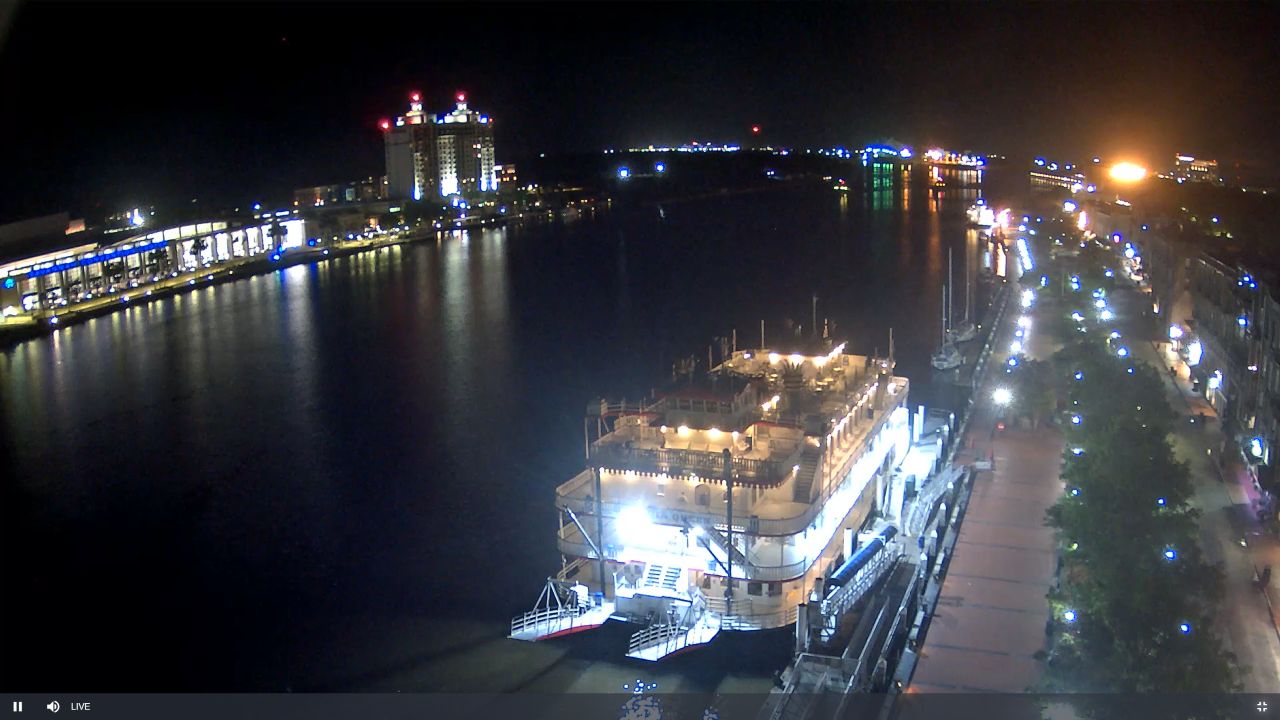
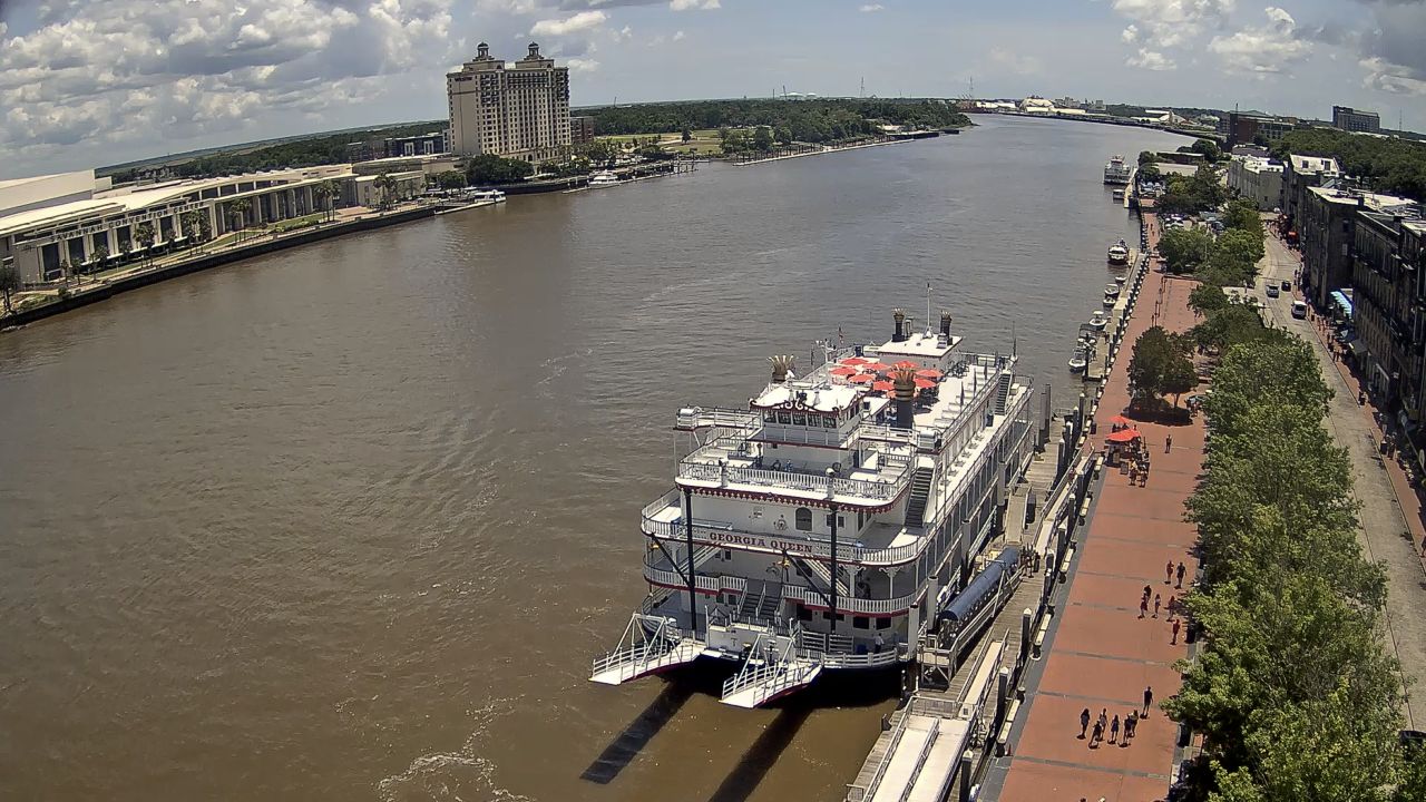
Savannah Riverfront Maritime Axis: Live River Street Webcam Savannah Riverfront Maritime Axis: Live River Street Webcam
Live River Street East Docks Webcam: Savannah Harbor Maritime Axis Live River Street East Docks Webcam: Savannah Harbor Maritime Axis
Live River Street Webcam: Savannah River Shipping Artery Live River Street Webcam: Savannah River Shipping Artery
Savannah River Maritime Axis: Live Savannah Convention Center Webcam Savannah River Maritime Axis: Live Savannah Convention Center Webcam
Ocmulgee Basin Municipal Spine: Live Highway 80 West Master Hub Ocmulgee Basin Municipal Spine: Live Highway 80 West Master Hub
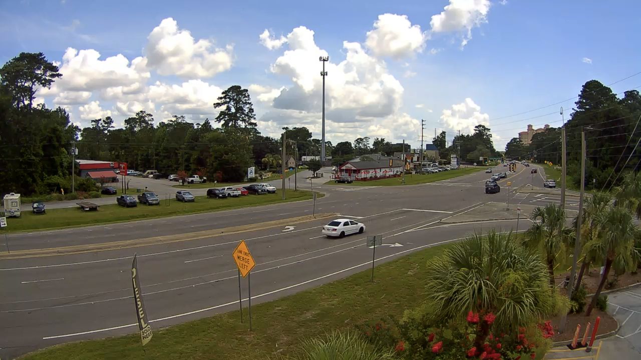
Savannah Industrial Transit Corridor: Live Highway 21 Webcam Savannah Industrial Transit Corridor: Live Highway 21 Webcam
Live Savannah Webcam: Real-Time Views over Historic Broughton Street Live Savannah Webcam: Real-Time Views over Historic Broughton Street
Live East Beach Oceanfront Webcam: Glynn County Residential Axis Live East Beach Oceanfront Webcam: Glynn County Residential Axis
Oconee Basin Municipal Spine: Live Dublin Traffic Webcam Oconee Basin Municipal Spine: Live Dublin Traffic Webcam
Fall Line Sandhills Agricultural & Exhibition Axis: Live Georgia National Fairgrounds Webcam Fall Line Sandhills Agricultural & Exhibition Axis: Live Georgia National Fairgrounds Webcam
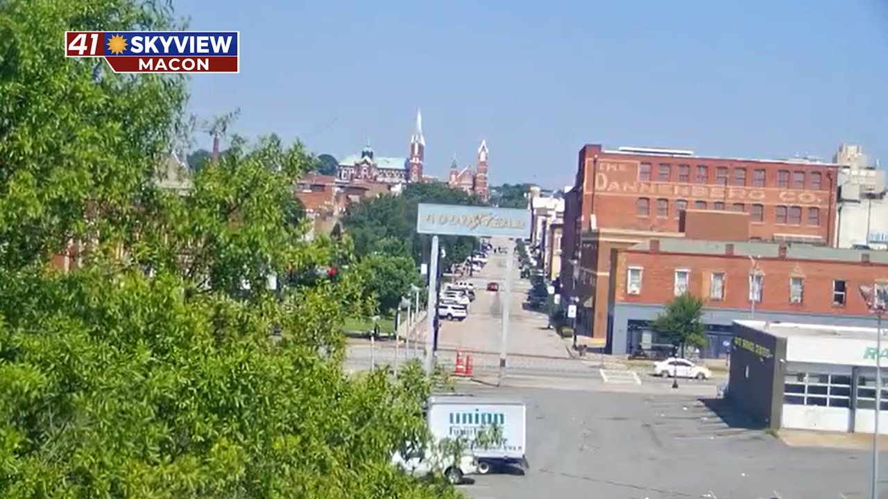
Ocmulgee Basin Municipal Spine: Live Downtown Macon Webcam Ocmulgee Basin Municipal Spine: Live Downtown Macon Webcam
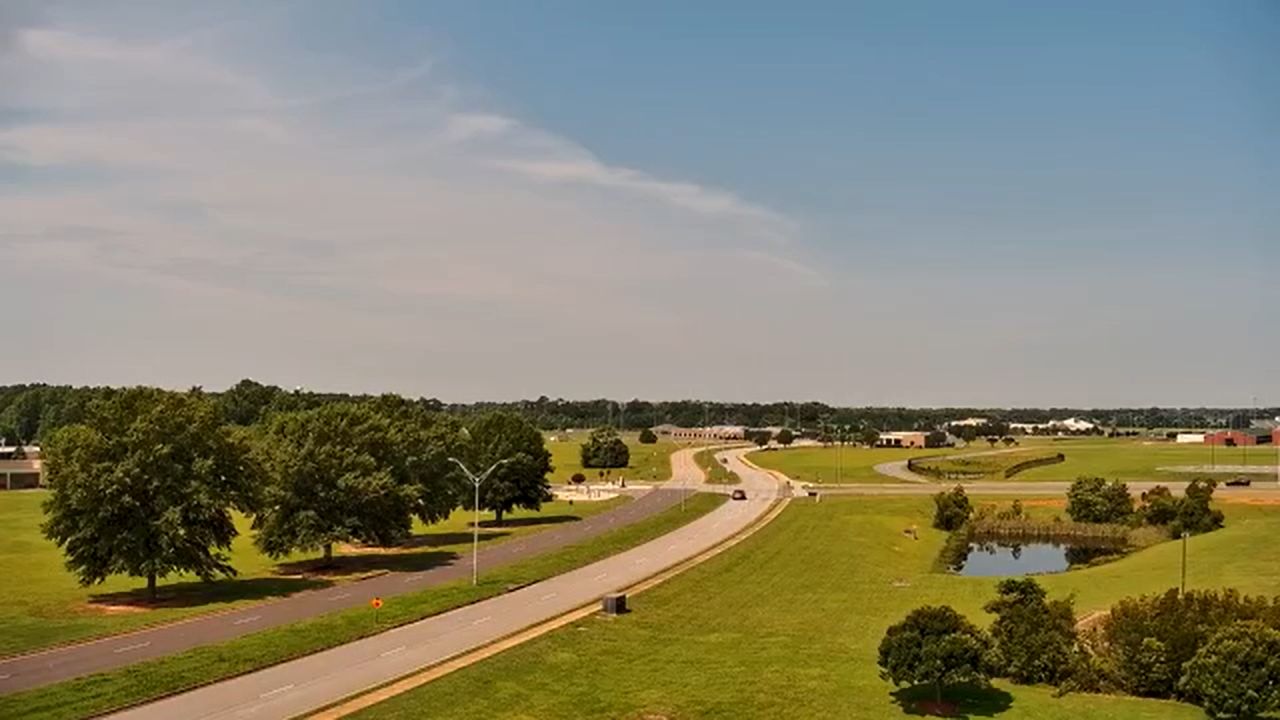
Fall Line Sandhills Aviation & Health Axis: Live Warner Robins Webcam Fall Line Sandhills Aviation & Health Axis: Live Warner Robins Webcam
Savannah River Maritime Axis: Live Talmadge Memorial Bridge Webcam Savannah River Maritime Axis: Live Talmadge Memorial Bridge Webcam
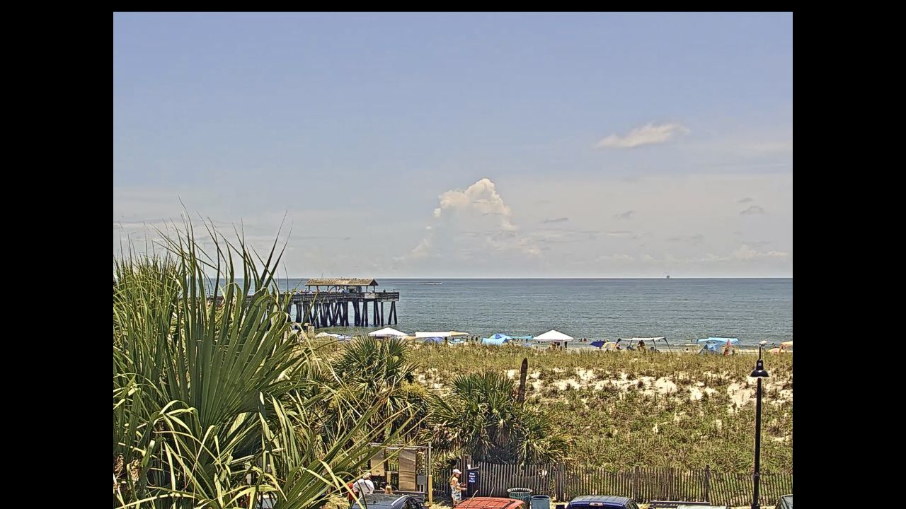
Live Tybee Island Lighthouse Webcam: North Beach Conditions & Savannah River Ships Live Tybee Island Lighthouse Webcam: North Beach Conditions & Savannah River Ships
Live Bull River Marina Webcam: U.S. Route 80 Transport Axis Live Bull River Marina Webcam: U.S. Route 80 Transport Axis
Atlantic Shipping Channel Corridor: Live Savannah Riverfront Webcam Atlantic Shipping Channel Corridor: Live Savannah Riverfront Webcam
Fall Line Sandhills Transit Axis: Live Middle Georgia State University Webcam Fall Line Sandhills Transit Axis: Live Middle Georgia State University Webcam
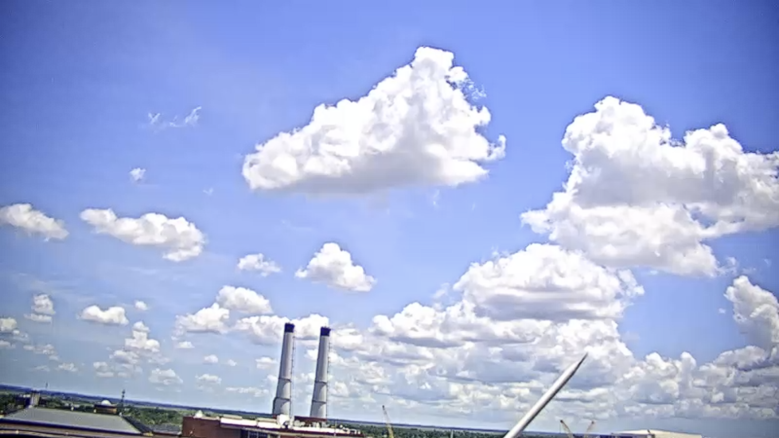
South Atlantic Maritime Axis: Live Port of Savannah Webcam South Atlantic Maritime Axis: Live Port of Savannah Webcam
Live Landings Marina Savannah Webcam: Intracoastal Shipping Axis Live Landings Marina Savannah Webcam: Intracoastal Shipping Axis
Live St. Simons Island King and Prince Webcam: Sea Island Coastal Axis Live St. Simons Island King and Prince Webcam: Sea Island Coastal Axis
Live Jekyll Island Holiday Inn Webcam: Sea Island Coastal Axis Live Jekyll Island Holiday Inn Webcam: Sea Island Coastal Axis
Live DeSoto Beach Hotel Webcam: Tybee North Beach Coastline Axis Live DeSoto Beach Hotel Webcam: Tybee North Beach Coastline Axis
Live Pier Village Traffic Webcam: St. Simons Sound Transit Axis Live Pier Village Traffic Webcam: St. Simons Sound Transit Axis
Live Hotel Tybee Surf Webcam: Tybee South End Maritime Axis Live Hotel Tybee Surf Webcam: Tybee South End Maritime Axis
Live Beach Club Resort Webcam: St. Simons Sound Maritime Axis Live Beach Club Resort Webcam: St. Simons Sound Maritime Axis

Multi-Modal Transit Hubs, Industrial Corridors, and Regional Staging Logistics

The comprehensive multi-lens web gantry maps out the main thoroughfares where international commercial commerce meets the municipal transit pipelines of Georgia’s mainland core and coastal islands. Navigating this aggregated visual tier allows logistics coordinators to map vehicular saturation through the central downtown connectors, monitor crowd assembly margins during sunset hours across the historic riverfronts, and track heavy freight rail configurations navigating interior junction points.
Reviewing these real-time optics pipelines allows public safety personnel and daily commuters to bypass highway queues along the interstate grids, optimize travel staging windows near major commerce centers, and evaluate changing mountain, piedmont, and maritime microclimates across open transit corridors.

  • The Piedmont Metropolitan & Urban Transit Spine: Tracks high-density metropolitan choke points, interstate lane saturation, and transit infrastructure systems spanning Atlanta, Augusta, Columbus, and Macon.
  • The Atlantic Shipping Channel & Coastal Marine Axis: Monitors industrial container shipping lanes, deep-water port cargo transits, and coastal weather fronts across Savannah and surrounding barrier island networks.
  • The Fall Line Sandhills & Coastal Plain Agri-Business Loop: Observes historic shortline rail tracks intersecting primary overland shipping routes, logistics truck pacing, and crop transfer zones from Warner Robins to Cordele.
  • The Blue Ridge Alpine & Appalachian Mountain Sector: Evaluates mountain highway traffic configurations, seasonal festival crowd congestion, and sub-alpine microclimates tracking past Helen and Blairsville.
  • The Heavy Rail Industrial & Freight Transport Nodes: Logs heavy commercial freight switching maneuvers, rolling stock yard operations, and intermodal staging loops at the Austell, Waycross, and Folkston rail hubs.

Logistics, Transit & Geographic Infrastructure Reference Grid

  • Physical Anchor Site: Distributed Statewide Intercept Network, Bordered by Tennessee, North Carolina, South Carolina, Florida, and Alabama, Georgia, USA.
  • Target Landmark Footprint: 92,000-Seat Open-Air Stadium Complex, 27-Mile Core Transit Ribbon, Industrial Shipping Channels, and Major Global Aviation Gateways.
  • Geographic Coordinates: 27.6648° N, 81.5158° W (Regional Centroid Alignment).
  • Primary Automotive Axis: Interstate 75 Corridor / Interstate 85 Corridor / Interstate 20 / Interstate 95 / U.S. Route 80 Pipeline.
  • Best Daily Viewing Times: 24/7 continuous data logging; optimized during peak morning and afternoon commuter transit surges, and daytime commercial rail/maritime freight operations.
  • Regional Transit Context: Serves as the primary infrastructure layer for statewide transportation coordination, tracking over 42 million annual air travelers at Hartsfield–Jackson (ATL) and anchoring emergency evacuation tracking systems.