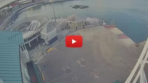
Grand Cayman Cruise Port Webcam
Please enjoy this live look at Grand Cayman Cruise Port Webcam. Also known as George Town Cruise Port, this is the principal port and the capital city of the British Overseas Territory of Cayman Islands. Nearly 1.4 million passengers come through this port annually.
The Grand Cayman Cruise Port serves as a vibrant gateway to one of the Caribbean’s most sought-after destinations. Located on the picturesque island of Grand Cayman, this port welcomes a multitude of cruise ships each year, providing travelers with easy access to the island’s stunning beaches, crystal-clear waters, and rich cultural experiences.
The port is equipped with modern facilities that cater to the needs of passengers, ensuring a seamless transition from ship to shore. Visitors can expect a warm welcome from the local community, who are eager to showcase the island’s unique charm and hospitality.
The port area features a variety of shops, restaurants, and attractions, allowing guests to indulge in local cuisine and shop for unique souvenirs. Additionally, the port serves as a launching point for numerous excursions. Moreover, it includes snorkeling adventures in the famous Stingray City. You can explore the lush landscapes of the island. Additionally, you can enjoy a leisurely day at one of the world-renowned beaches.
The port’s strategic location and well-developed infrastructure make it an essential hub for maritime travel in the Caribbean.
Best things to do in the Cayman Islands
- Seven Mile Beach
- Cayman Turtle Centre
- Starfish Point
- Camana Bay
- Pedro St. James
- Cayman Crystal Caves
- Governors Beach
- Mastic Trail
- Spotts Public Beach