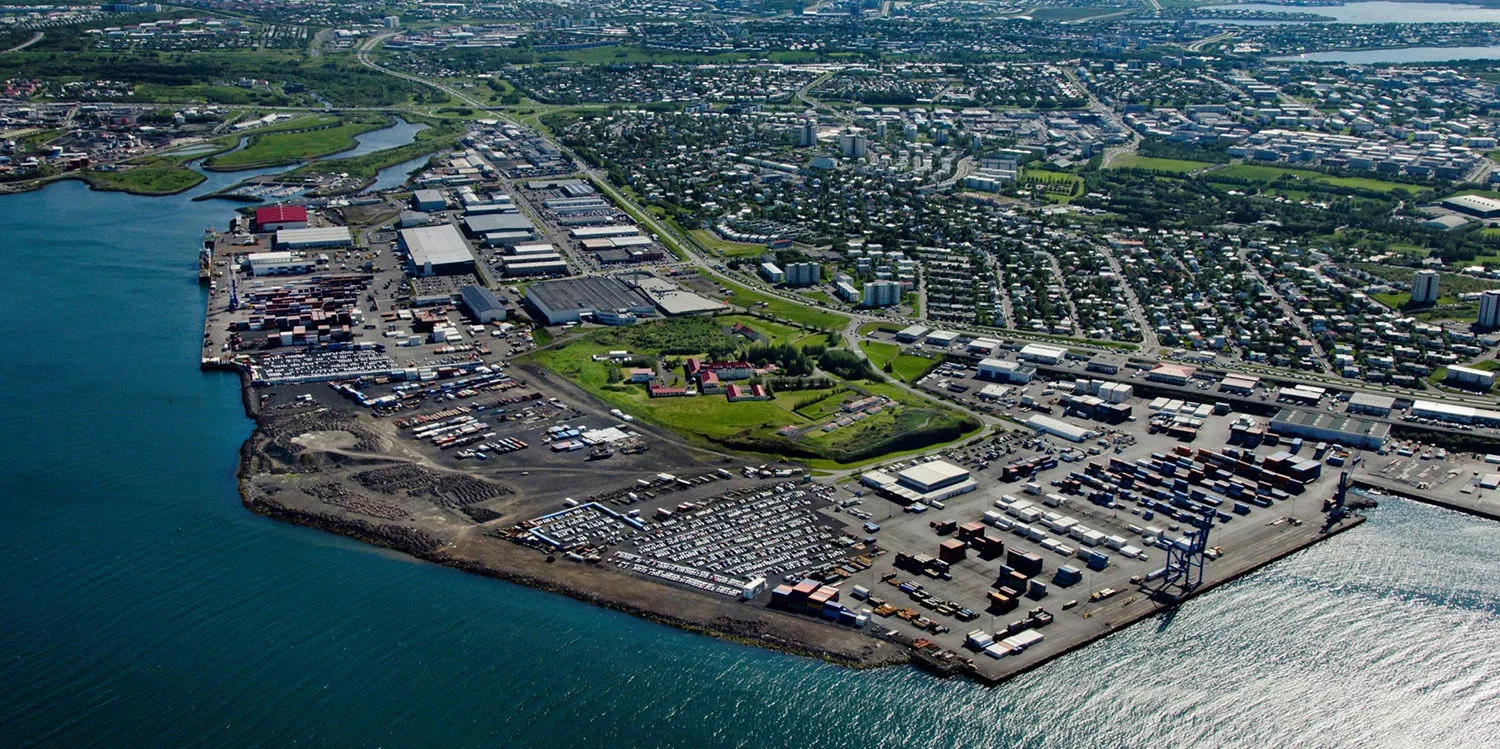
Live HD Webcam Kleppsbakki Harbour – Reykjavik, Iceland
November 16, 2025
Enjoy this Kleppsbakki Harbour live webcam in Sundahöfn Port in Reykjavik, Iceland.
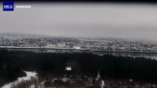
Perlan Museum Reykjavík, Iceland
February 16, 2024
Perlan is an iconic building that hosts a unique nature Exploratorium.

Fagradalsfjall Volcano
August 2, 2023
Nice view live in HD from the Fagradalsfjall volcano 40 kilometres from Reykjavík, Iceland.

Mount Esja (Esjan) Live Webcam – Reykjavík, Iceland
January 4, 2021
Esjan mountain is situated in the south-west of Iceland, about 6 miles to the north of Iceland’s capital city Reykjavík.
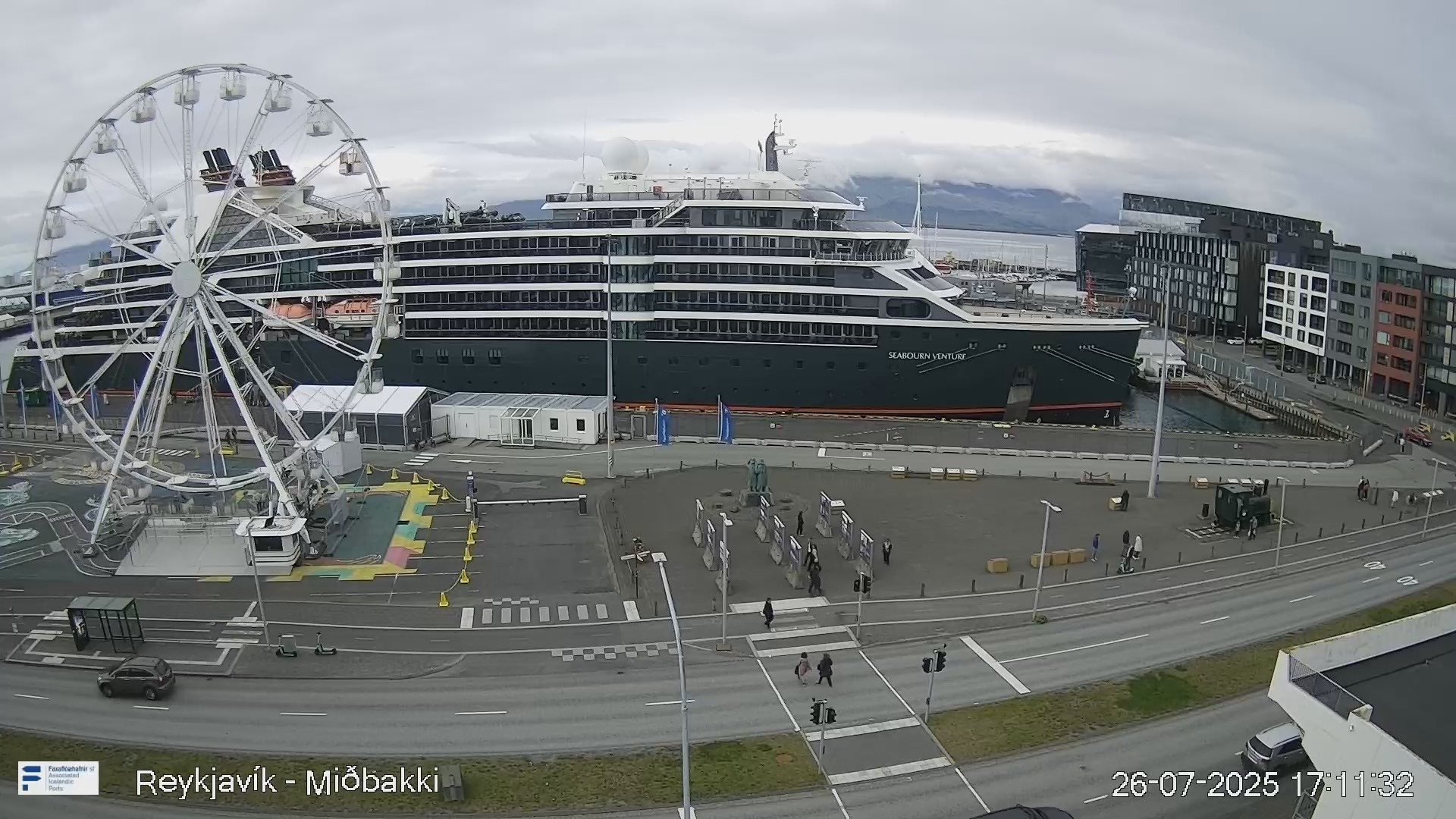
Miðbakki Harbour Live Webcam – Reykjavík, Iceland
January 4, 2021
Miðbakki also known as the old harbour which is located Downtown right next to Harpa concert hall. Check out more live webcams from Iceland.

Skarfabakki Harbour Live Cam – Reykjavík, Iceland
January 3, 2021
Live stream webcam at Skarfabakki Harbour in Reykjavík, shows you outstanding views over Videy Island. Check out more live webcams from Iceland.
Web Cam Live in Reykjavik Iceland
Watch any live HD cam in the capital city of Reykjavik, Iceland. These webcams in Reykjavik, Iceland take you to popular harbours, museums, and volcanoes. Reykjavik is the northernmost capital in the entire world. Despite the fact that it is not as large as many other capitals, the city is vibrant with life.
It has a very interesting art scene, as the many famous Icelandic bands and artists can attest to. In addition, there are many superb museums and attractions you can visit. It is home to some of the best music festivals in Northern Europe such as Iceland Airwaves. The downtown area is a popular area thanks to its many bars.
estled between the mountains and the sea, this city offers a picturesque landscape that captivates visitors year-round. With a population of around 130,000, Reykjavik is not only the largest city in Iceland but also serves as the cultural and economic hub of the country. The city is characterized by its colorful buildings, modern architecture, and a lively arts scene, making it a fascinating place to explore.
The history of Reykjavik dates back to the 9th century when it was first settled by Norse Vikings. Today, remnants of this rich history can be seen in various landmarks, such as the iconic Hallgrímskirkja church, which towers over the city and offers panoramic views from its tower. The city is also home to numerous museums, galleries, and theaters that showcase Icelandic art, history, and culture.
The city is a gateway to the famous Golden Circle, which includes attractions like the Geysir geothermal area, Gullfoss waterfall, and Thingvellir National Park. Moreover, the nearby Blue Lagoon, a geothermal spa, offers a unique relaxation experience amidst the breathtaking Icelandic scenery.
Weather
Reykjavik, the capital of Iceland, has a unique weather climate. It is known for its cool temperatures and changing weather. Summers are short and mild, with temperatures around 10 to 15 degrees Celsius. Winters can be quite cold, often dropping below freezing, with icy winds and snowfall. Rain can fall at any time of the year, so it’s important to dress warmly and be prepared for surprises. The city’s location near the ocean affects its weather, making it both beautiful and unpredictable.