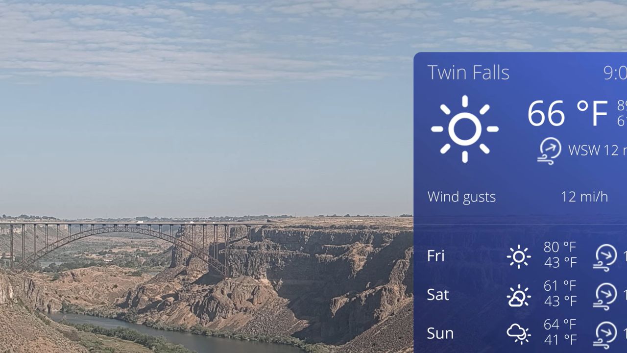


Live Streaming Webcams Across the State of Idaho
Access our curated regional index of active 24/7 high-definition live streaming webcams across Idaho. Filter our statewide directory matrix by specific city corridors, wilderness park boundaries, or outdoor recreation categories to track real-time climate variations, maritime river states, and alpine conditions.
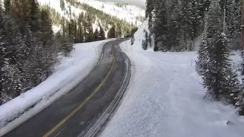
Whether you are coordinating a long-haul commercial freight loop along the interstate pipelines, monitoring seasonal snowpack variations at high-altitude mountain resorts, or verifying local weather patterns before traveling, our live nodes deliver instant visual confirmation across the Gem State.
Key Regional Travel & Weather Tracking Sectors
Because Idaho’s geography spans rugged mountain peaks, deep river canyons, and sprawling agricultural plains, its regional microclimates vary wildly. Use our directory to track real-time conditions across these core sectors:
- Boise & South Idaho Urban Corridors: Monitor street-level traffic, municipal transit lines, and daily weather patterns across major population centers including Boise, Meridian, Nampa, and Twin Falls.
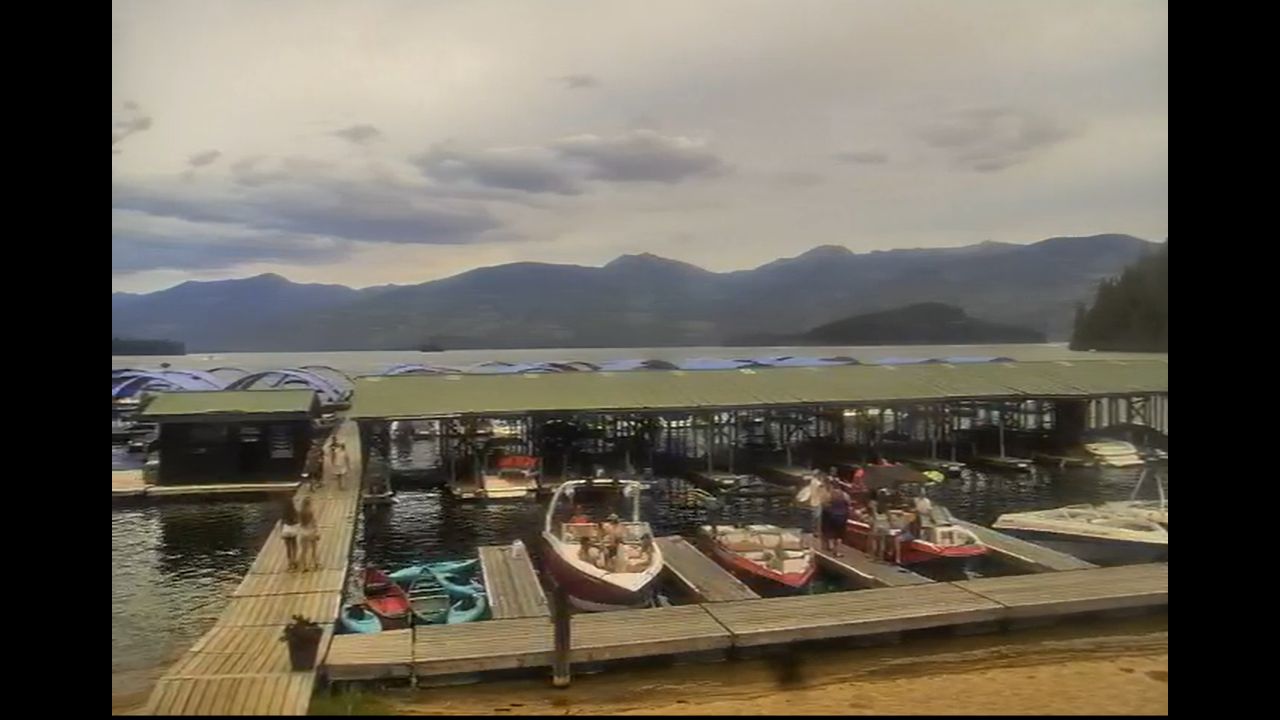
- Northern Panhandle Waterways & Towns: Track seasonal lake surface chop, marine layer density, and public parking crowds across scenic northern destinations like Lake Coeur d’Alene, Sandpoint, and Priest Lake.
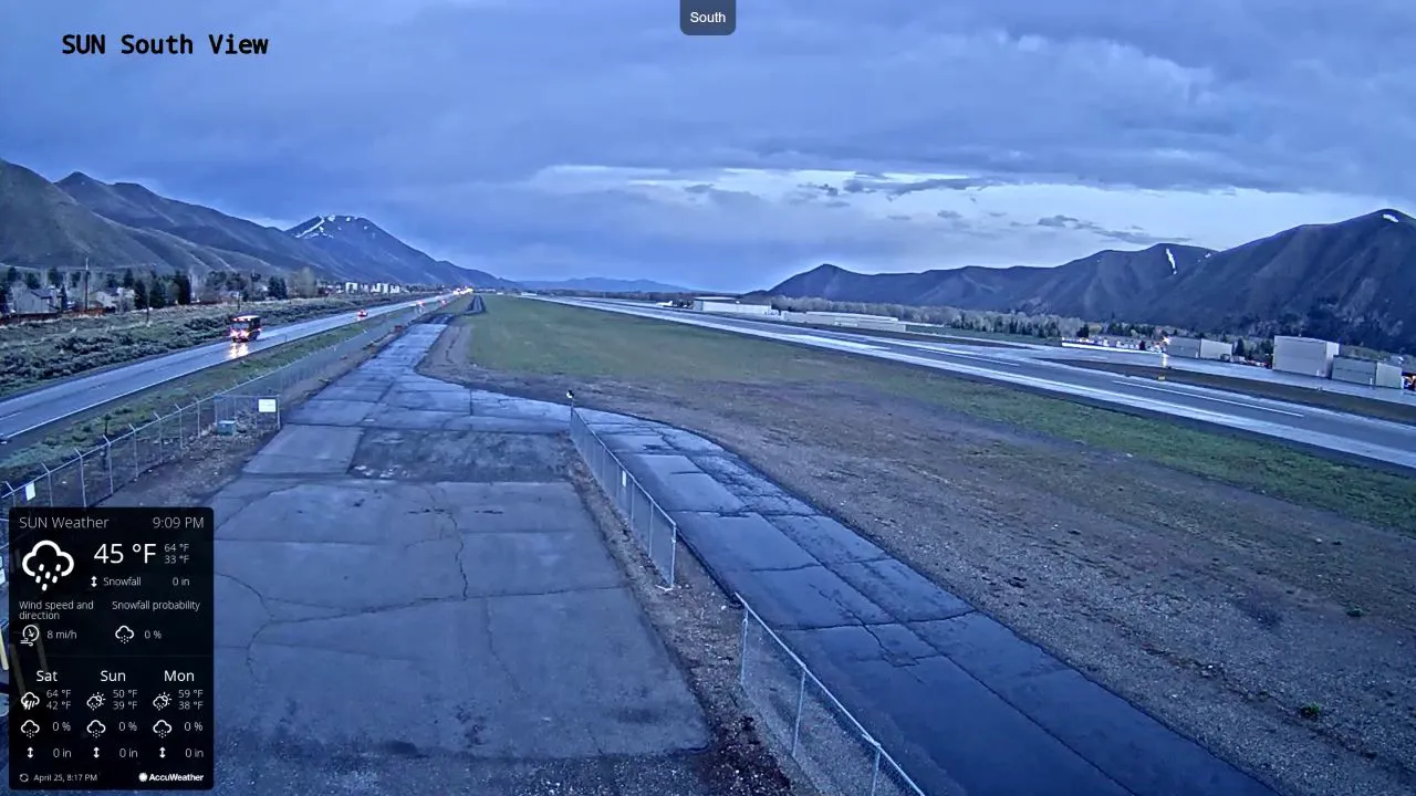
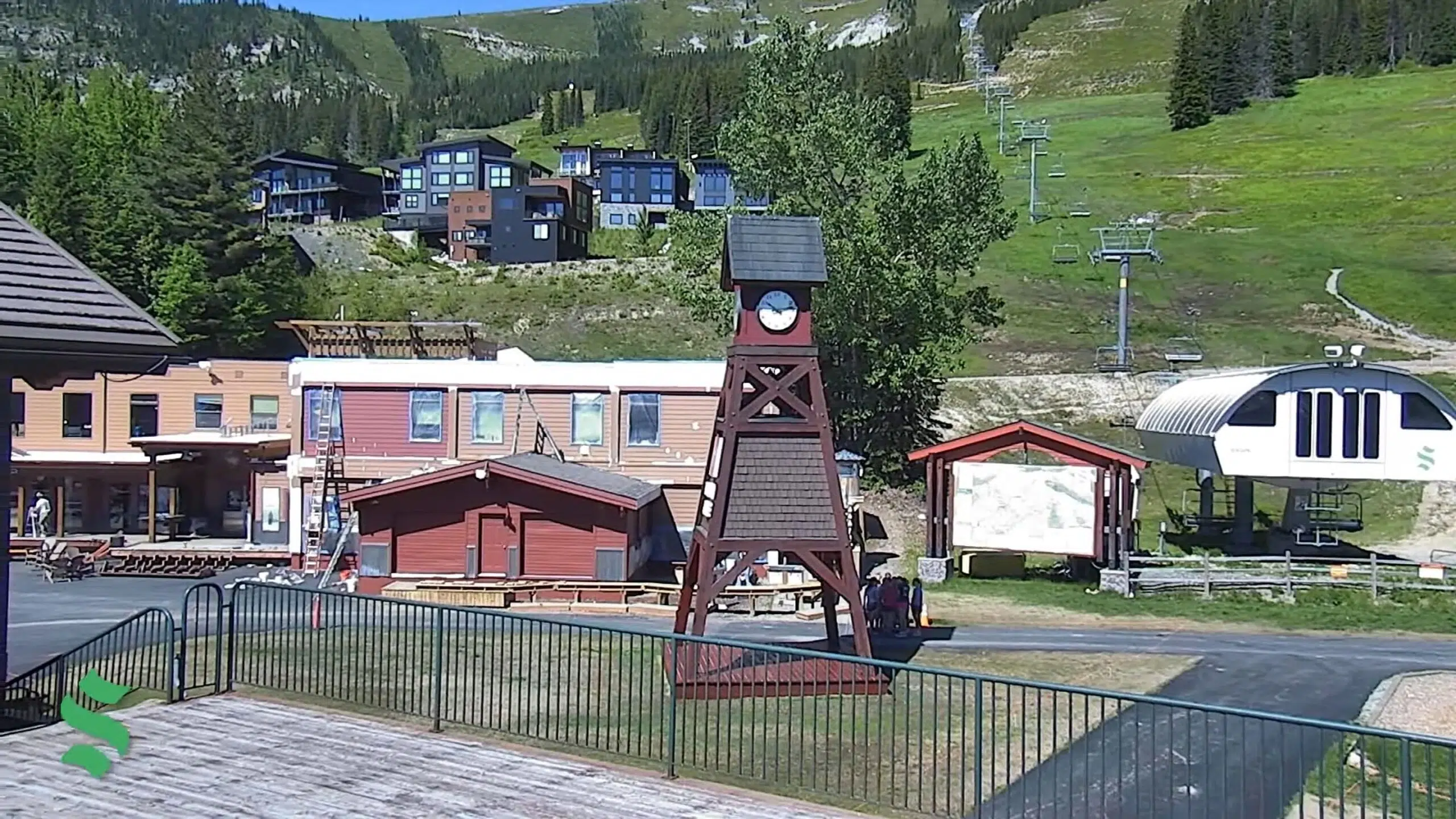
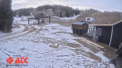
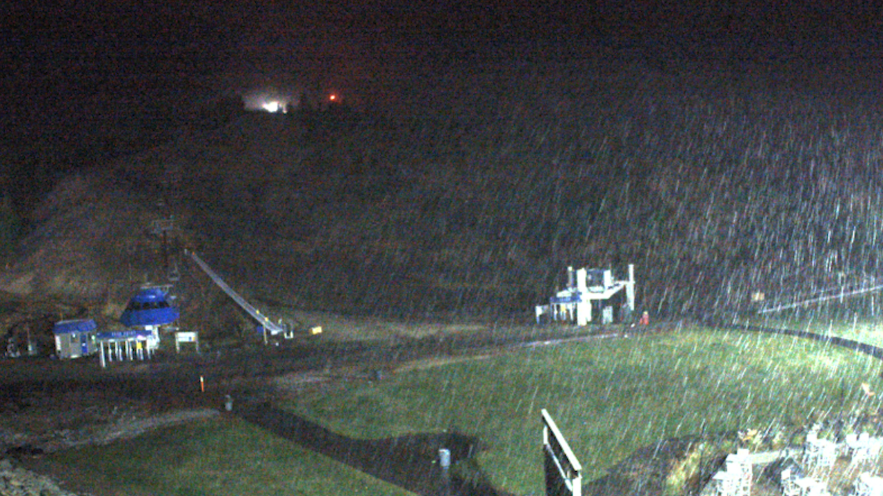
- Alpine Ski Slopes & Mountain Passes: Evaluate fresh winter powder accumulation, wind speeds, and ridge visibility at premier resorts like Sun Valley, Schweitzer, Bogus Basin, and Pomerelle Mountain.
- Protected Wilderness & River Valleys: Check real-time water levels and back-country storm tracking along the Salmon River, the Sawtooth National Recreation Area, and the rugged corridors of Hell’s Canyon.
Map & Precise State Capital Coordinates
Our Pacific Northwest transit directory anchors this statewide navigation matrix at the exact geographic coordinates of the capital city, 43.6150° N, 116.2023° W in downtown Boise, Idaho. Commuters, outdoor enthusiasts, and winter sports travelers utilizing this interactive layout can easily trace long-distance highway routes across I-84, locate public trail access points along the Boise River Greenbelt, and map out scenic driving loops intersecting the state’s protected national monuments.