This centralized directory network provides 24/7 visual access across premier coastal establishments, floating taco bars, and elevated rooftop lounges worldwide. Bridging the gap between active Caribbean harbors, high-vantage Florida Gulf views, and historic European piers, this tracking index delivers real-time weather and transit checkpoints for coastal boaters, vacationers, and local motorists.
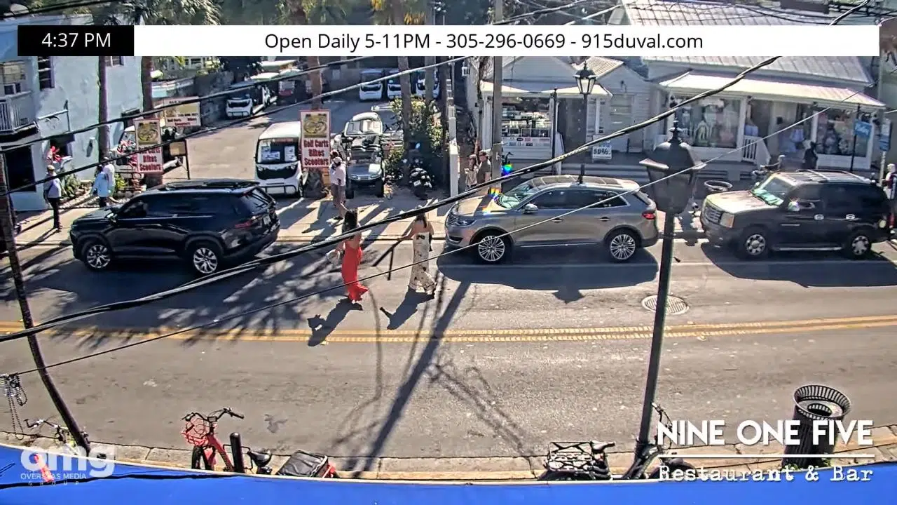

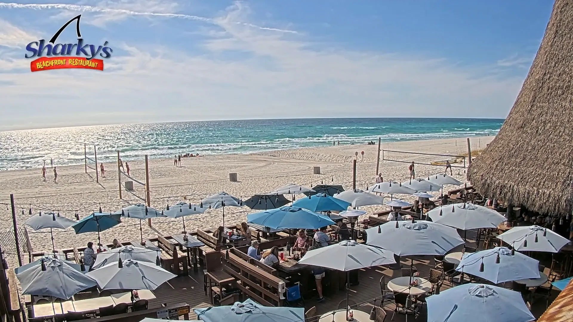


Coastal Marine Weather and Waterfront Crowds
The streaming grid provides essential, eyes-on data to eliminate beach day travel guesswork. Because weather patterns along exposed shorelines can shift instantly from calm sunshine to sudden convective thundershowers or heavy marine layer fog, checking real-time surf, docking space, and lane clarity beforehand is a vital trip precaution.
- Caribbean Floating & Pier Venues: Monitor real-time catamaran moorings, private yacht anchorage queues, and open-water tidal wash limits across harbor basins.
- Florida Gulf Coast Rooftops: Track high-vantage perspectives overlooking public sand strand density, marina traffic lanes, and incoming tropical weather fronts.
- Atlantic Boardwalk & Surf Decks: Evaluate horizontal visibility, shoreline sand dune erosion, and nearshore breaking wave heights for surfers and paddleboarders.
- European Port Side Overlooks: Check pedestrian promenade crowd spacing, historic harbor pier transit lines, and local maritime weather changes.
Technical Gateway Geography and Maritime Logistics
The weather-hardened camera network utilizes fixed, high-angle structural mounts and pan-tilt-zoom (PTZ) arrays managed by local resorts, waterfront taverns, and marine networks to track microclimates.
- Primary Asset Matrix: Elevated 10th-Floor Rooftops / Beachfront Dune Decks / Floating Marine Pontoons
- Key Maritime Transit Zones: Gulf of Mexico / Atlantic Intracoastal Waterways / Caribbean Reef Fairways / English Channel Approaches
- Utility Focus: Real-time crowd auditing, slip parking verification, and storm front tracking.
This expansive transit directory bridges the space between international travel hubs and local coastal communities, providing crucial infrastructure tracking for routes slicing through high-volume marine bays, public fishing piers, and waterfront retail zones.
Practical Questions for Waterfront Travelers
When are the best daily times to monitor these venue camera grids?
Tuning into the live matrix during the late morning and early afternoon provides the clearest horizontal water lighting to evaluate nearshore surf conditions and reef lines. Checking the feeds during sunset hours offers front-row views of coastal weather transitions and peak evening crowd spacing across the outdoor decks.
Can you use these feeds to verify boat docking or slip availability?
Yes. Select tracking cameras are specifically positioned to frame public boat launch ramps, resort fuel docks, and harbor mooring rows. Marine captains check these viewports to analyze vessel congestion and slip availability before navigating heavy hulls into the docks.
Where is public vehicle staging located for the properties shown on screen?
High-capacity paid parking structures, open unpaved sand staging rows, and metered curbside slots run parallel to the main beach avenue corridors within brief walking distance of the boardwalks. Checking the live high-angle stream helps motorists gauge general weekend vehicle congestion before driving down to the crowded waterfront zones.