This high-vantage desert infrastructure camera tracks real-time vehicular velocity, multi-lane transit loop saturation, and rapid atmospheric transformations along Sierra Highway 14 (State Route 14) in Mojave, Kern County, California. Positioned securely on the elevated commercial facade of the Gardner Realty complex, the weather-hardened optical sentinel delivers an unedited 24-hour visual index of the primary transport corridor anchoring the western edge of the Mojave Desert.
Industrial freight logistics networks monitoring cross-desert cargo shipping loops, transcontinental train spotters tracking heavy manifest line sequences, and regional public safety agencies check this continuous diagnostic stream daily to analyze highway traffic bottlenecks, evaluate mountain wind shear velocities, and log real-time vehicle queue lengths before routing assets past the foothills.
Sierra Highway thoroughfares, Air and Space Port Access Loops, and Kern County Logistics
MOJAVE WEATHERSituated approximately 50 miles east of Bakersfield right where the arid desert floor interfaces with the eastern foothills of the Tehachapi Mountains, this strategic geographical throat serves as a high-exposure multi-modal transit chokepoint linking the Central Valley agricultural plains with the expanding aerospace testing grounds of the Antelope Valley. Checking the live telemetry feed simplifies tracking for local transport networks managing commercial delivery truck staging delays along the primary commercial lanes, lets off-road recreation networks audit sandstorm visibility parameters near Jawbone Station, and coordinates emergency vehicle routing through the mountain pass cuts.
The camera’s expansive perspective also captures the bustling perimeter loops bordering the Mojave Air and Space Port—a globally renowned aerospace infrastructure asset where private space flight entities conduct high-stakes engineering maneuvers. Whether daily commuters are tracking vehicle processing lines past the local rail crossings or windward utility fleets are monitoring turbine array outputs, this permanent visual panel acts as a vital tool for verifying open safety corridors.
- The Active Sierra Highway 14 Lanes: Monitor real-time multi-lane passenger vehicle velocity tracks, heavy commercial box truck lines, regional logistics trailer staging, and immediate asphalt deck weathering under the intense desert sun.
- The Heavy Freight Rail Alignments: Watch industrial locomotive shunting sequences, high-velocity double-stack container layers clearing the town switches, manifest car counts, and structural iron rail weathering.
- The Gardner Realty Commercial Frontages: Track customer vehicle turnaround lines past the local real estate office, curbside pedestrian sidewalk path utilization, public safety foot patrol routing loops, and immediate property asset weathering.
- The Windward Tehachapi Mountains Horizon: Evaluate changing high-latitude cloud ceilings tracking over the rugged crags, sudden incoming convective dust storms managed by regional forecast offices, real-time precipitation boundaries, and spectacular high-desert sunset transformations.
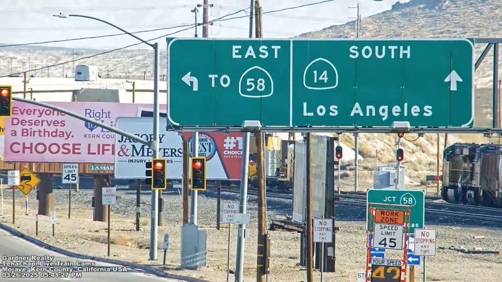
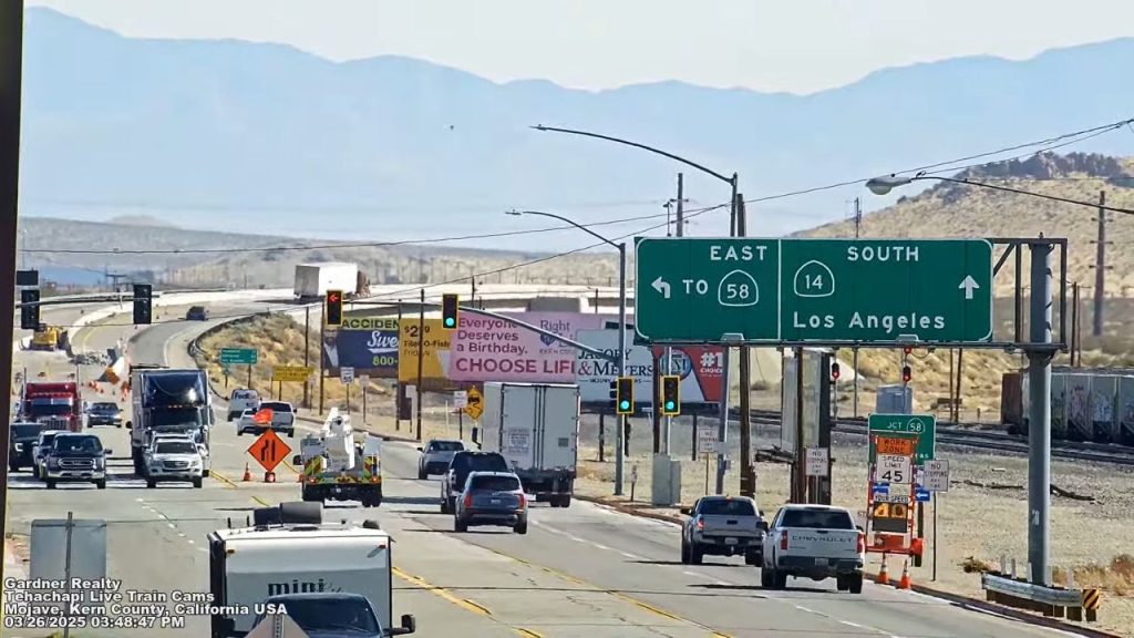
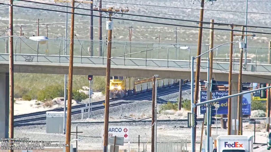
Logistics, Transit & Desert Hub Infrastructure Reference Grid
- Physical Anchor Site: Upper Structural Overlook Gantry, Gardner Realty Facility Tier, Frontline Highway Facing Facade, Sierra Highway 14 Corridor, Mojave, Kern County, CA 93501
- Target Landmark Footprint: Rocket Engine Test Gantries at the Mojave Air and Space Port, 54,000-Square-Mile Protected Mojave Desert Resource Zones, Historic Kelso Depot Railway Preservation Vaults, and Connected Jawbone Station Off-Road Recreation Baselines
- Geographic Coordinates: 35.0525° N, 118.1742° W (Gardner Realty Visual Node Baseline)
- Primary Regional Interchanges: State Route 58 Expressway Junction (Tehachapi Pass Logistics Spine) / California State Route 14 Northbound Corridor
- Primary Automotive Axis: Sierra Highway 14 / State Route 58 / Fast Connection to the Edwards Air Force Base Aviation Logistics Expressways
- Best Daily Viewing Times: 24/7 continuous stream. Weekday morning and late afternoon commuter rush hours capture intense local lane saturation and heavy freight line loops under clear horizontal lighting formats, while late evening slots track spectacular train headlight streaks and moving aerospace facility asset arrays safely.
- Regional Transit Context: Positioned securely at the definitive central transportation bottleneck linking the southern desert plains with the northern mountain passes, anchoring all sub-district transport coordination, territory zone data tracking, and emergency road evacuation monitoring infrastructure of the area.