Mount Bachelor Live Streaming Cams
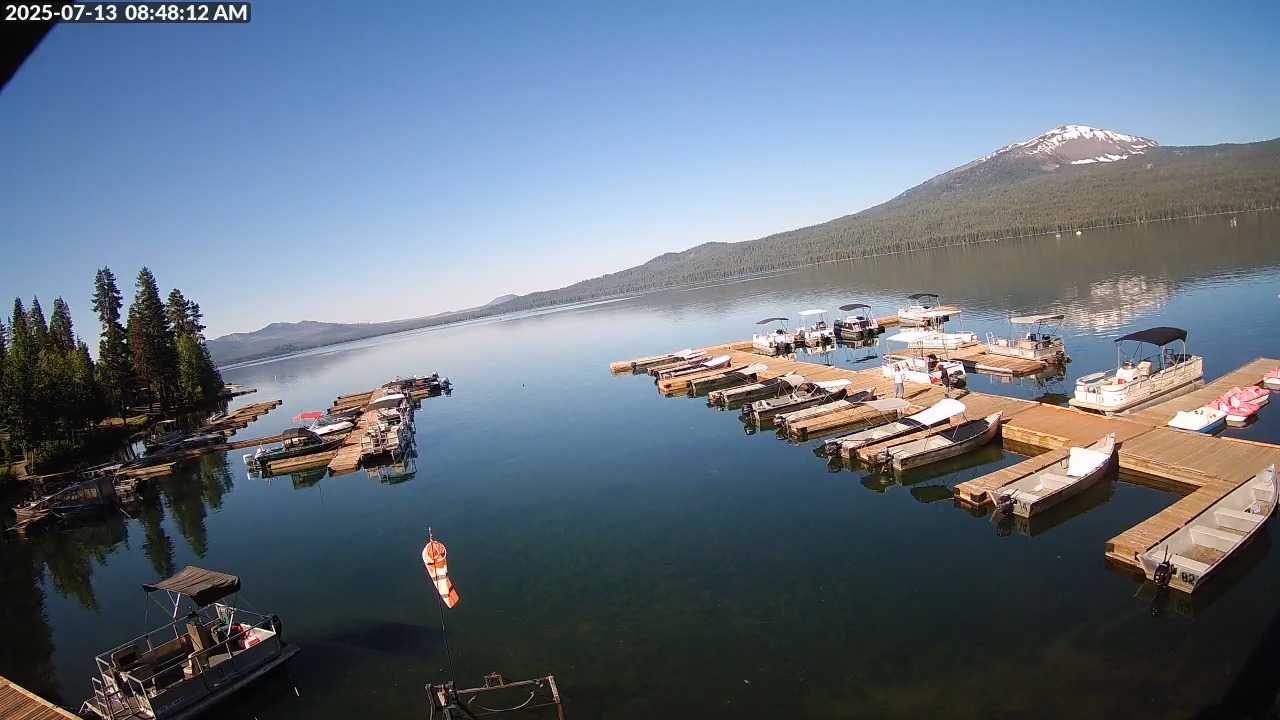
Enjoy watching this live streaming webcam of Mt Bachelor. It is a prominent destination for outdoor enthusiasts and winter sports lovers alike. The webcam situated at this iconic mountain provides a real-time view of the stunning landscape. Furthermore, it showcases the snow-capped peaks and the vibrant natural surroundings.
This visual resource is particularly valuable for skiers and snowboarders who wish to assess current weather conditions, snow coverage, and overall visibility before planning their day on the slopes.
During the winter months, it highlights the pristine snow conditions, while in the summer, it reveals the lush greenery and diverse flora that thrive in the area. This dual functionality makes the Mt. Bachelor webcam an essential resource for both seasonal visitors and local residents.
Mt. Bachelor is the 6th largest ski resort in the US! Located on the eastern flanks of Oregon’s Central Cascades, Mt. Bachelor is known for its light, dry snow, diverse terrain, family-friendliness, and long seasons. Come find out why this unique volcano has become a destination for skiers and riders from all over the world.
Mount Bachelor is a strato-volcano atop a shield volcano situated along the Cascade Volcanic Arc. The volcano last erupted nearly10,000 years ago. Mount Bachelor gets its name for being isolated from the Three Sisters, a group of three volcanic mountains that are northwest of Mount Bachelor. Mt Bachelor is 2.5 hours away from Mt Hood.
Watch More Live Webcams in Bend Oregon and Nearby
- Pine Mountain Observatory – Bend, Oregon
- Bend, Oregon Webcams – Explore The City
- Bend Whitewater Park Webcam – Oregon, Video
- Mt Hood National Forest Live Webcam – Oregon
- Timberline Lodge Live Webcam Mt Hood, Oregon, USA
- The Dalles, Oregon Live Webcam Mt. Hood
- Mount Hood Oregon Meadows Webcam – Live Ski Resort – Video