This multi-camera directory hub delivers a centralized network grid mapping the high-volume water transportation channels, metropolitan automotive corridors, and volatile North Sea coastal lifelines across the Netherlands. Operating as a practical visual index, this collection helps inland commercial barge pilots verify lock clearances, Western European motorists bypass urban freeway bottlenecks around the Randstad, and coastal maritime operators analyze real-time storm surges breaking along the low-lying Dutch dikes.


Inland Shipping Canals, North Sea Coastlines, and Urban Logistics
The centralized streaming index provides vessel captains, regional commuters, and international travelers immediate access to eyes-on data to eliminate Dutch transit guesswork. Because fast-moving marine weather fronts can roll off the Atlantic and across the lowlands instantly—bringing dense sea fog layer ceilings, heavy rain wind vectors, and sudden gale-force maritime swells—verifying lane and waterway conditions beforehand is a critical safety precaution.
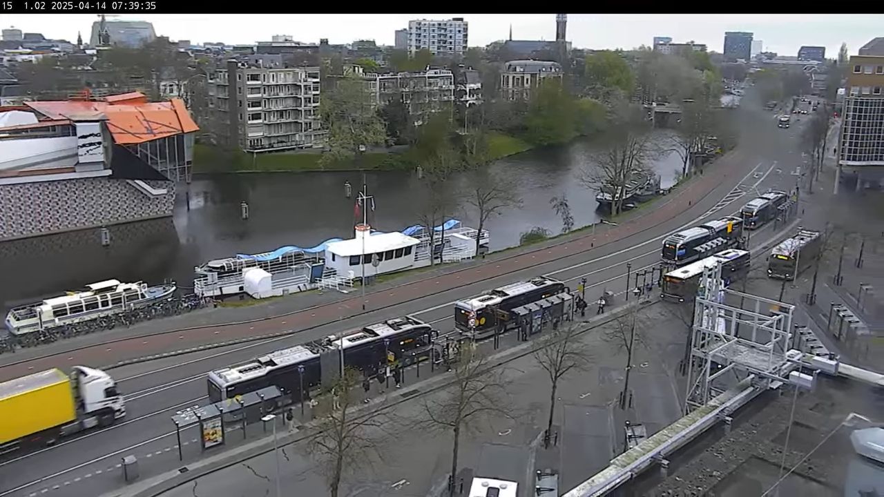
- The Metropolitan Transit Grids: Monitor real-time commuter lane velocities, active drawbridge openings, and transit lane bottlenecks across Amsterdam, Rotterdam, and The Hague.
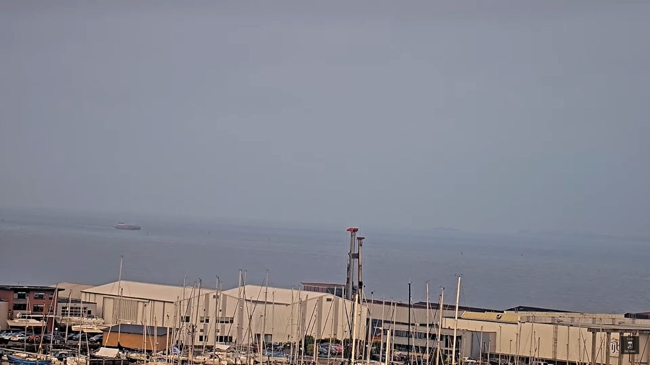
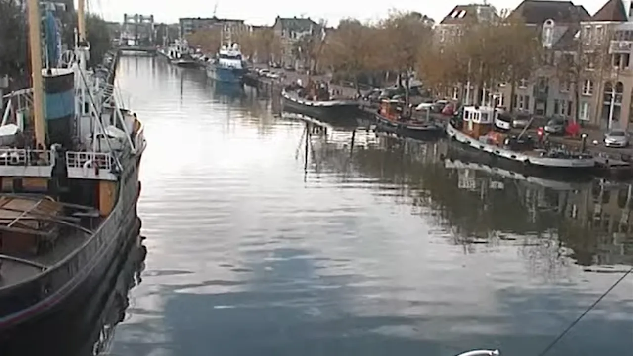
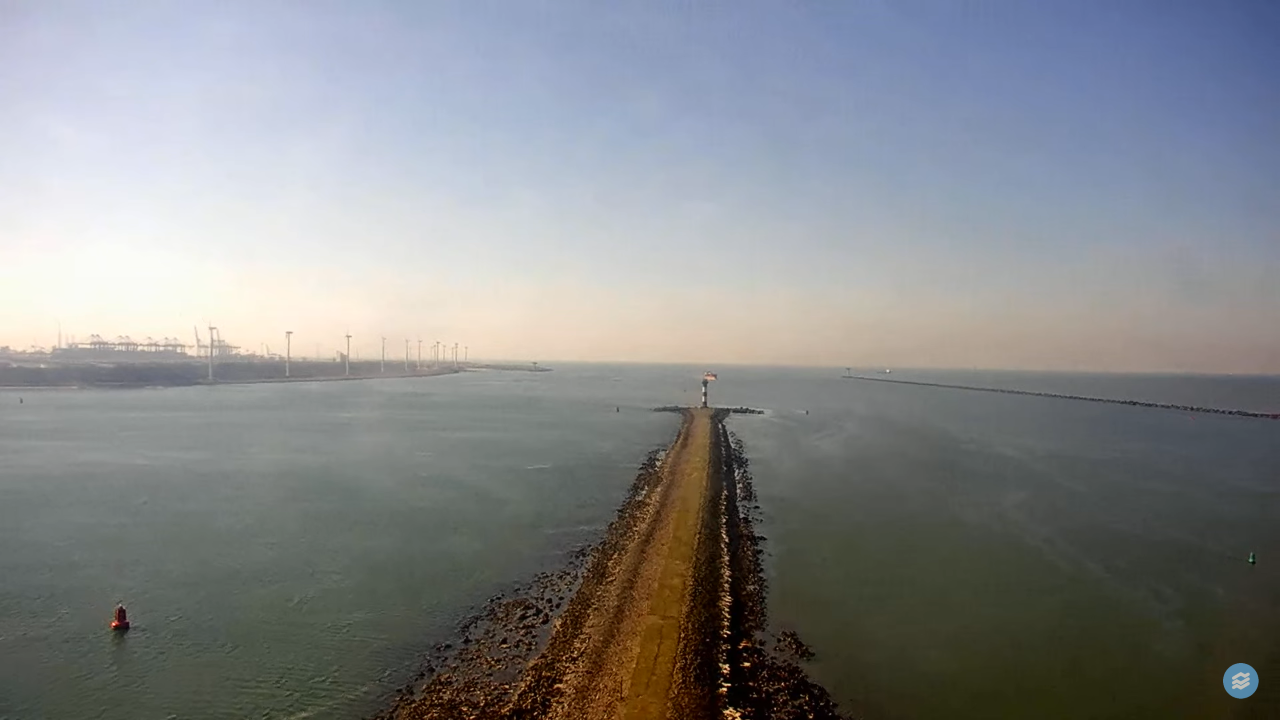
- The Industrial Canal Lock Systems: Check commercial freight barge queues, container shipping timelines, and water-management sluice gate operations along the Oostersluis and Nieuwe Waterweg channels.
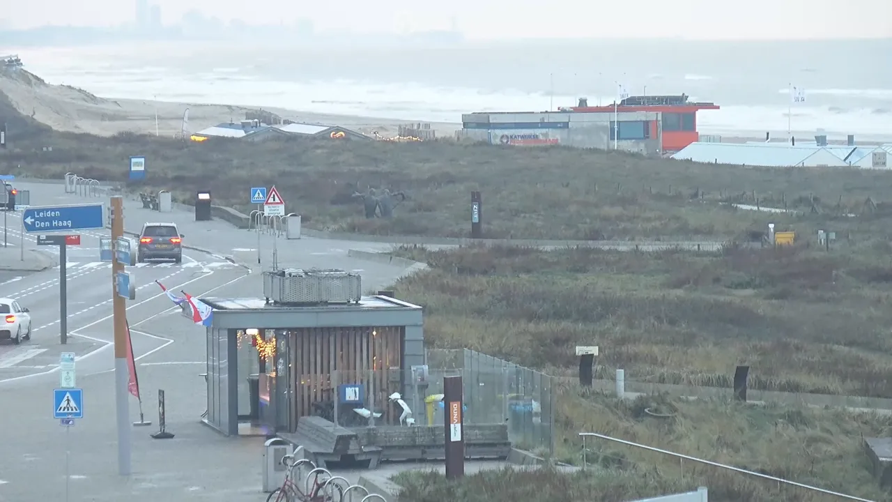
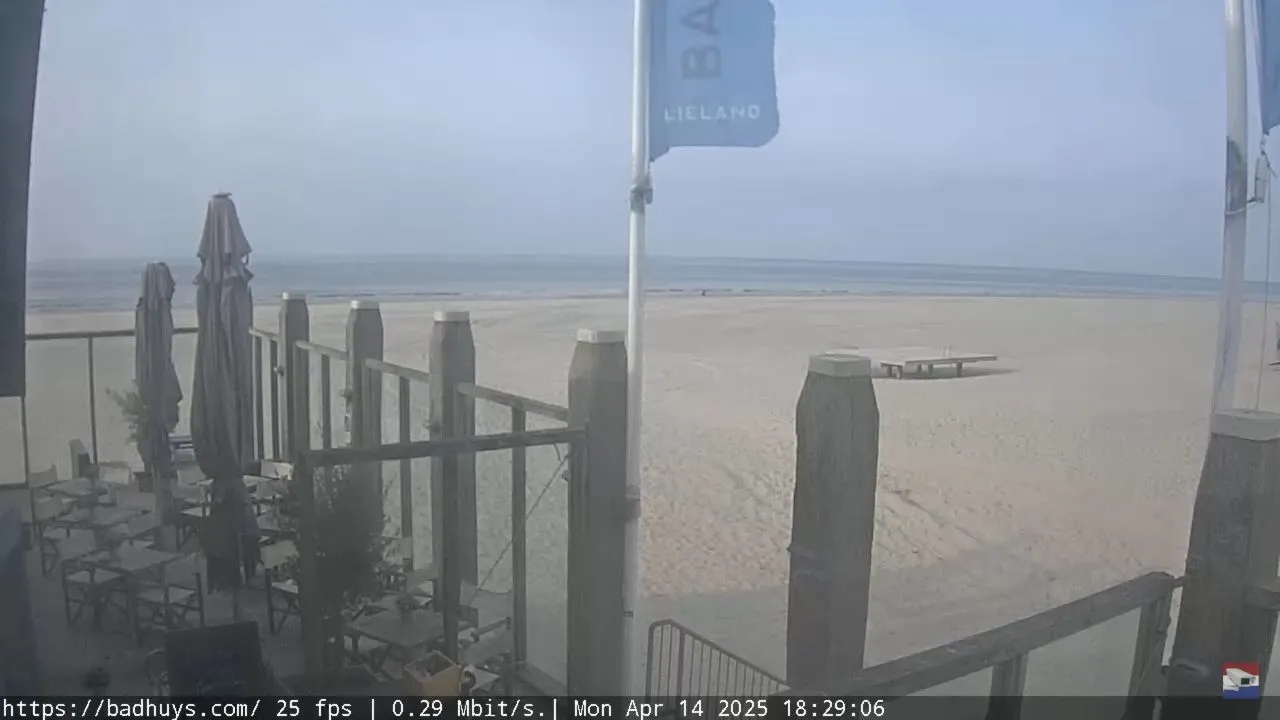
- The North Sea Beach Overlooks: Evaluate tidal wash limits, nearshore wind chop directions, and public promenade crowd spacing along Katwijk aan Zee and Noordwijk aan Zee.
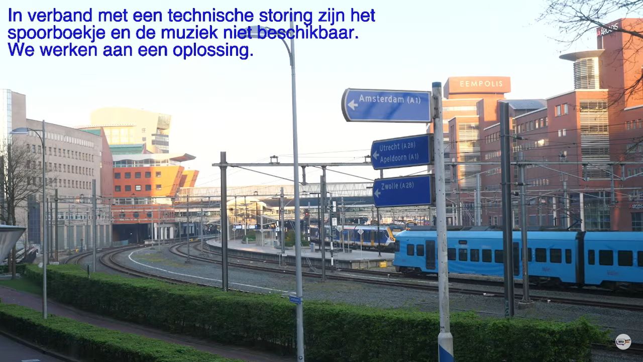
- The Provincial Rail Corridors: Track high-definition trackside frames detailing train station platform queues, inter-city passenger train movements, and grade-crossing safety metrics in Zandvoort.
Lowland Delta Topography and National Infrastructure Transit Info
The weather-hardened camera network utilizes elevated municipal gantries, historical church tower steeples, and port district facility fixtures to track environmental safety across the twelve highly engineered low-elevation provinces.
- Exact Center Hub Coordinates: 52°13’00.4″N 5°32’45.2″E
- Primary Aviation Gateway: Amsterdam Airport Schiphol (AMS) serves as the primary international aviation pipeline, operating alongside secondary hubs in Eindhoven (EIN) and Rotterdam (RTM).
- Primary Overland Logistics Arteries: The A1 Freeway (E30 Corridor) / A2 Freeway (North-South Axis) / A4 Freeway (Connecting the Randstad to the Belgian Border).
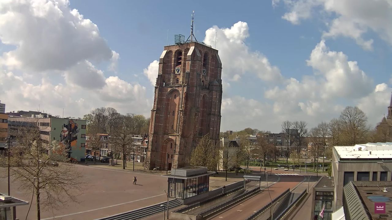
This expansive geographic directory links the dense, subterranean shipping canals of the coastal regions to the rolling border lands of Limburg, the historic towers of Leeuwarden, and the deep-water maritime shipping berths of the Rotterdam Port, serving as a critical environmental checkpoint for international supply chains and daily commuters navigating the low countries.