Spanning from the highest alpine peaks of the Appalachian range to the volatile maritime barrier islands of the Atlantic coast, this multi-camera directory hub delivers a centralized network grid of North Carolina. Operating as a practical visual index, this collection helps Interstate freight handlers navigate the rolling Piedmont plateau, daily Research Triangle commuters bypass urban corridor bottlenecks, and coastal mariners evaluate shifting marine weather patterns and high-impact storm surges along the Outer Banks in real time.



Mountain Pass Conditions, Urban Expressways, and Atlantic Surf Logistics
The centralized streaming index gives motorists, logistics dispatchers, and coastal residents immediate access to eyes-on data to eliminate mid-Atlantic travel guesswork. Because sudden convective summer thunderstorms can sweep across the Piedmont plains and blinding winter ice storms can blanket high-altitude mountain passes rapidly—dropping horizontal visibility to near zero—verifying pavement traction and lane clearance beforehand is a vital transit safety precaution.
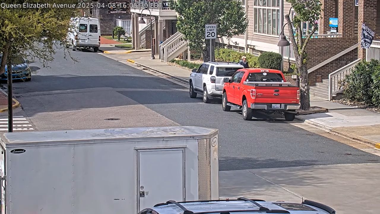
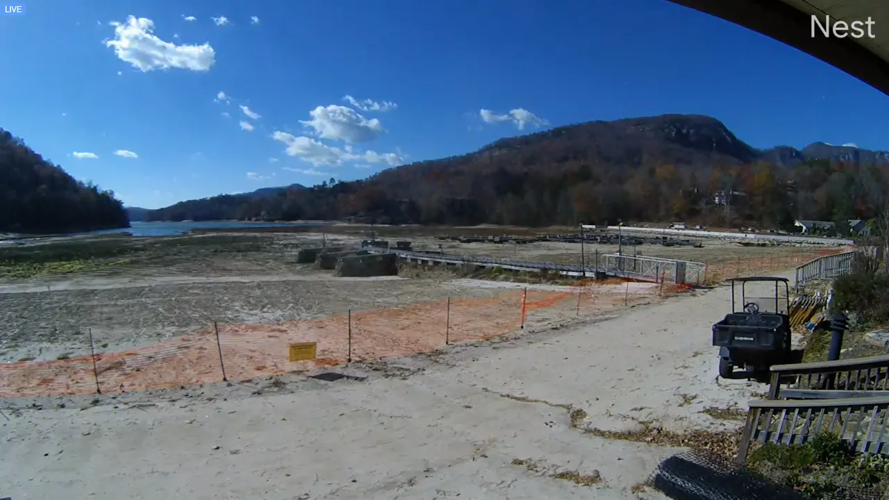
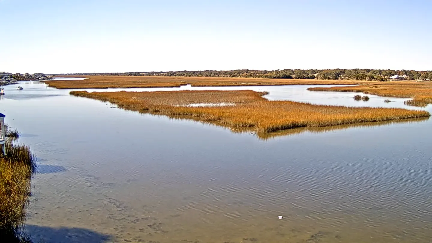
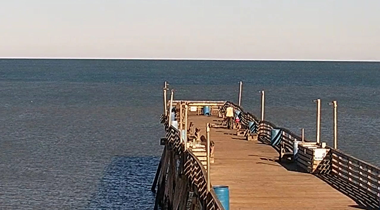
- The Coastal Plains & Barrier Island Strands: Monitor real-time beach crowd packing, Atlantic wave swell heights, and sandbar tidal wash limits along the Outer Banks, Manteo, and Ocean Isle Beach.
- The Metropolitan Transit Grids: Check commuter lane velocities, active bridge openings, and peak-hour vehicle backups framing major commercial hubs like Charlotte, Raleigh, and Durham.
- The Blue Ridge & Appalachian Mountain Passes: Evaluate real-time high-altitude snowpack accumulation, active winter plow deployments, and seasonal mountain fog clearing timelines across the Smoky Mountains.
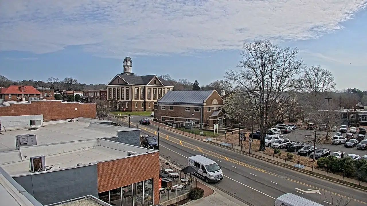
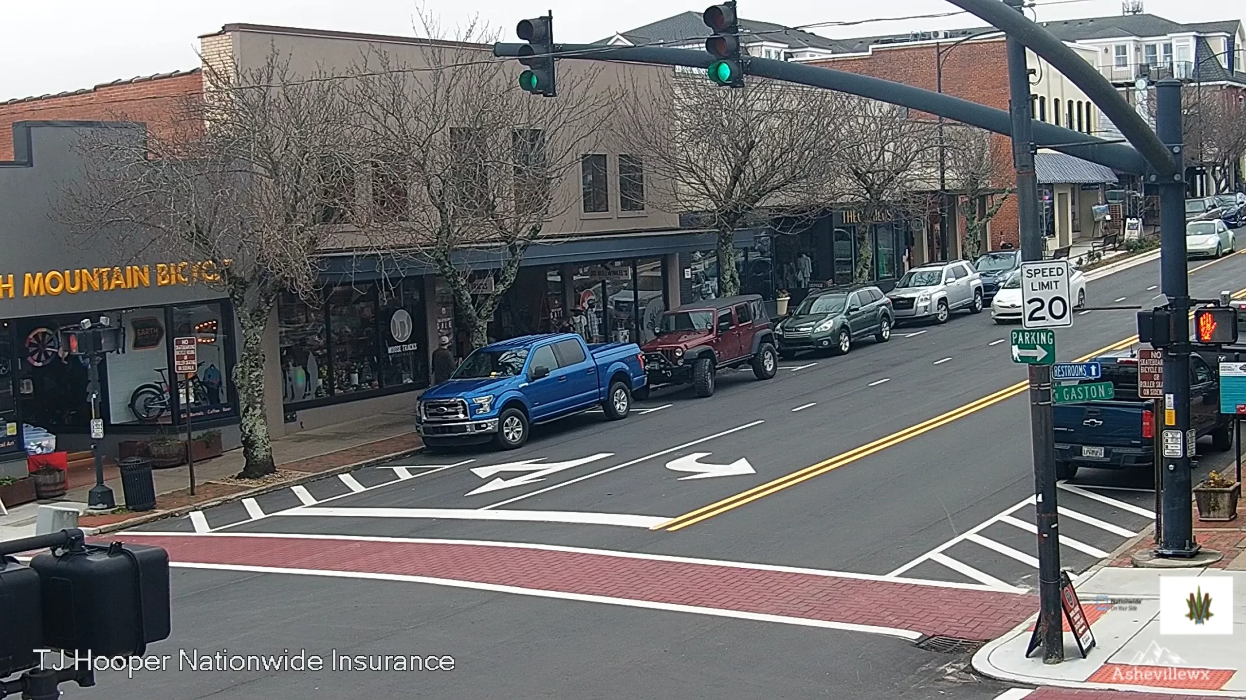
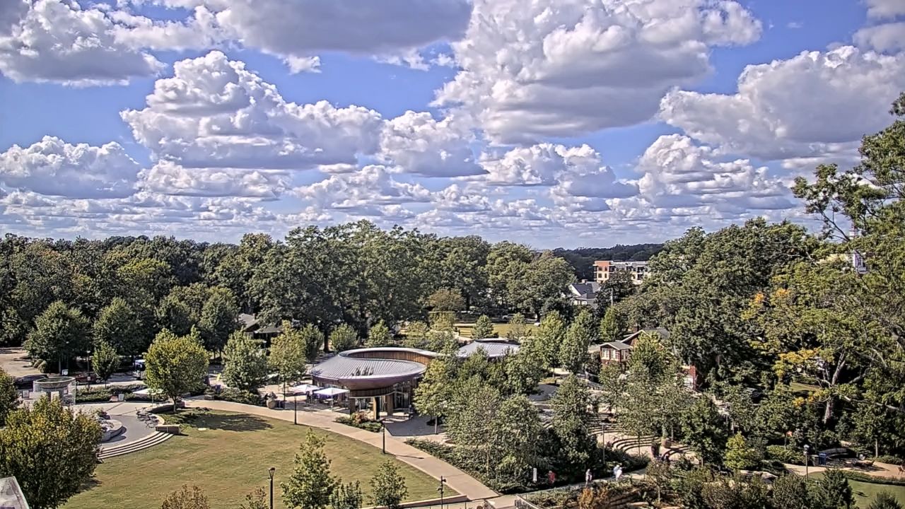
- The Historic Public Plazas: Track sidewalk pedestrian foot traffic density, community event line assembly, and municipal maintenance positions in local town centers like Pittsboro and Albemarle.
Topographical Diversity and Statewide Infrastructure Transit Info
The weather-hardened camera network utilizes elevated municipal traffic gantries, high-vantage resort tower terraces, and fixed-lens wilderness mounts to track environmental safety across the state’s three distinct geographic tiers.
- Exact Center Hub Coordinates: 35°45’32.4″N 79°01’11.5″W
- Primary Aviation Gateways: Charlotte Douglas International Airport (CLT) and Raleigh-Durham International Airport (RDU) serve as the primary international aviation transit pipelines.
- Primary Overland Logistics Arteries: Interstate 40 (I-40 Coast-to-Mountain Axis) / Interstate 85 (Piedmont Manufacturing Corridor) / Interstate 95 (East Coast Freight Mainline).
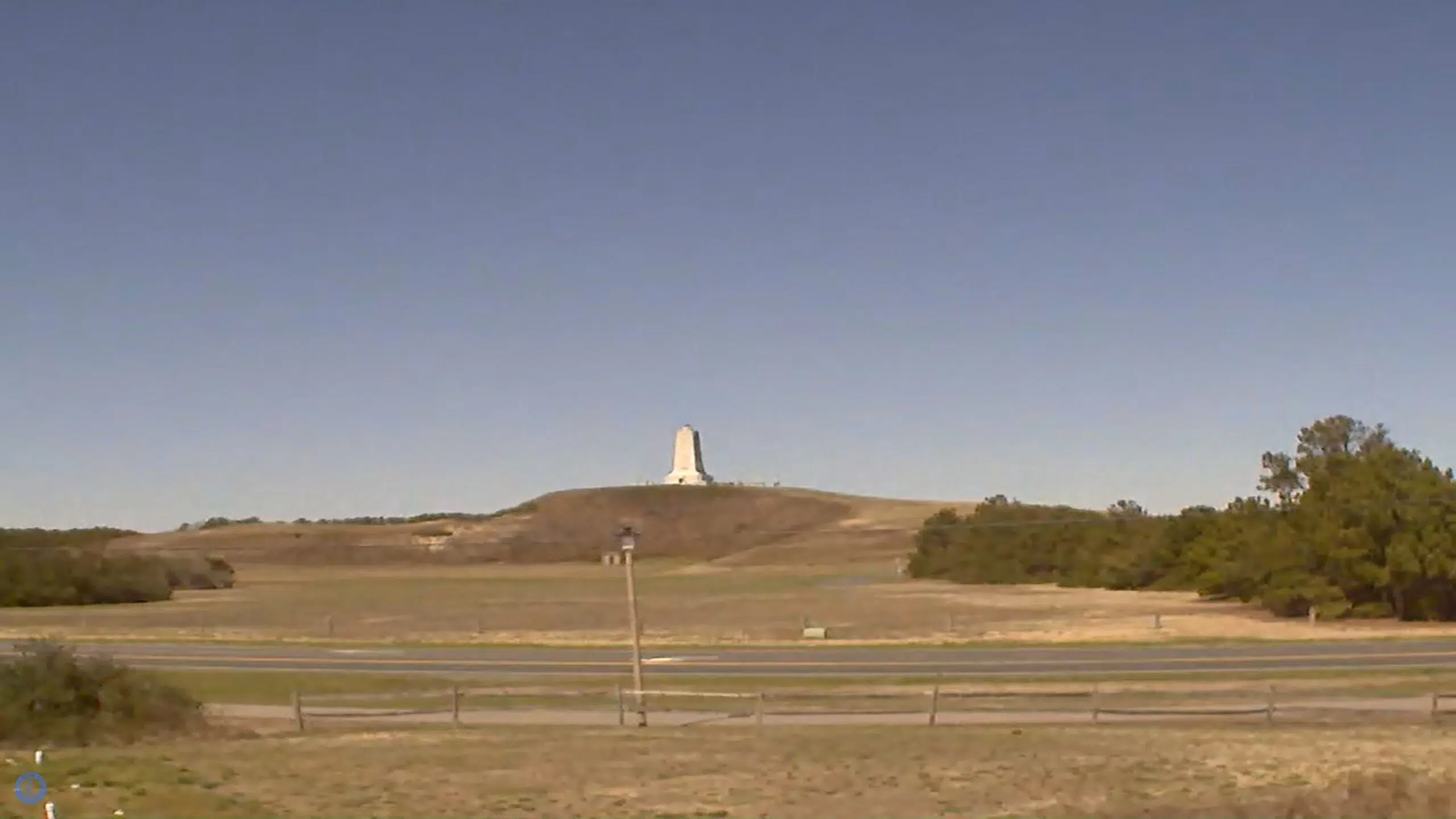
This expansive geographic directory links the high-density financial skyscrapers of Charlotte to the remote maritime shipping lanes of Wilmington, the deep wilderness trails of the Pisgah National Forest, and the historic aviation grounds at the Wright Brothers National Memorial, serving as a critical environmental checkpoint for international supply chains and daily commuters navigating the Tar Heel State.