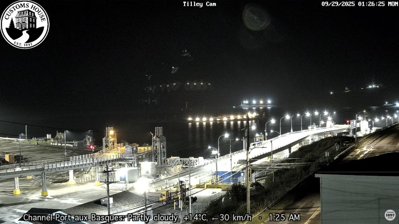
Webcams Live Highway View Nova Scotia
Watch the live HD Nova Scotia Highway Webcams located in Canada. The live cameras are at the Westin Nova Scotian Hotel, at the East River in New Glasgow, at the Town of Bridgewater Tower, and Mills Brothers located in Halifax. Nova Scotia is very popular for its booming fishing industry, historic lighthouses, and immaculate shorelines.
Traffic in Nova Scotia, Canada, can vary greatly depending on the time and place. In urban areas like Halifax, the roads can become quite busy, especially during rush hours when people are commuting to work or school. The sound of honking horns and engines humming creates a lively buzz in the city. However, even in towns, you may find local traffic around shopping centers and schools as families drop off their children or go about their daily errands.
On the highways, traffic generally flows more smoothly, especially in the quieter regions. Scenic routes, like the Cabot Trail, allow drivers to enjoy stunning views of the coastline while traveling.
During peak tourist season, you may see more vehicles on these scenic roads as visitors come to explore the natural beauty of the province. Drivers must take their time to enjoy both the road and the surroundings, as well as to be mindful of cyclists and pedestrians who share the space.
In rural areas, traffic is much lighter, giving a sense of peacefulness on the roads. Farmers and local residents drive their trucks and cars through picturesque landscapes dotted with forests and fields. Although you may not see many cars, it’s important to be cautious of wildlife crossing the road. The slower pace of traffic allows residents to appreciate the beauty of nature around them while still connecting with each other in their close-knit communities.
Explore Nova Scotia
Nova Scotia is a beautiful province in Canada with many exciting things to do. One of the main attractions is the Cabot Trail, a scenic drive that offers stunning views of the ocean and mountains. Visitors can stop at charming towns like Baddeck and Cheticamp. The Bay of Fundy is another must-see spot, famous for having the highest tides in the world.
You can explore its lovely beaches and watch the amazing changes in the water. History lovers will enjoy visiting the historic town of Annapolis Royal and the Fortress of Louisbourg, which shows what life was like long ago. Nature lovers can hike in Cape Breton Highlands National Park or relax at Kejimkujik National Park, where you can see beautiful lakes and wildlife. Finally, don’t miss the seafood, especially fresh lobster, which is a local favorite. Nova Scotia has something for everyone, making it a great place to visit!