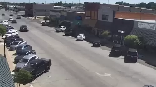
Elk City Oklahoma Downtown Live Webcam – Real Time Video
May 24, 2024
Share on X (Twitter) Share on Facebook Share on Pinterest Share on Reddit Share on LinkedInLive Downtown Webcam in Elk City Oklahoma Watch live HD webcams in Elk City, Oklahoma in the downtown area. The city is located on I-40 and Route 66. It runs through the community and is intersected by State Highway 6
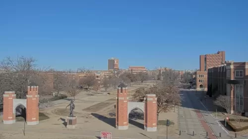
University of Oklahoma Live Webcam – Norman, OK
January 15, 2024
Watch this live HD webcam located on the campus of the University of Oklahoma in the city of Norman. The live cam is looking north onto the Van Vleet Oval.

Broken Bow Live Webcam – Oklahoma – Real Time Video
June 28, 2023
Share on X (Twitter) Share on Facebook Share on Pinterest Share on Reddit Share on LinkedInOverhead View Camera Broken Bow Please take a look at this fantastic view webcam via Broken Bow, Oklahoma Webcam. Broken Bow is an outdoor lover’s dream. Home to Beavers Bend State Park, Broken Bow is destination year-round offering a variety
Webcam Tulsa – Bok Center – Real Time Live Video
May 2, 2023
Enjoy this live HD webcam in Tulsa, Oklahoma facing the parking lot in front of the Bok Center, home of the Tulsa Oilers.

KFOR News – Oklahoma City – Channel 4
February 24, 2023
Oklahoma’s Own KFOR is Oklahoma’s source for breaking news, streaming live video, traffic, and severe weather coverage.
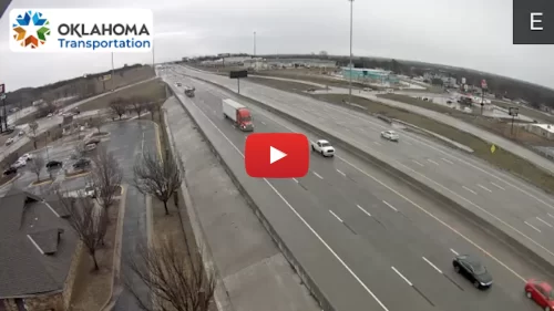
Traffic in Tulsa Live HD Webcams
February 21, 2023
Watch this live camera showing the busy traffic in the city of Tulsa, Oklahoma from an aerial view. Stay current on road conditions
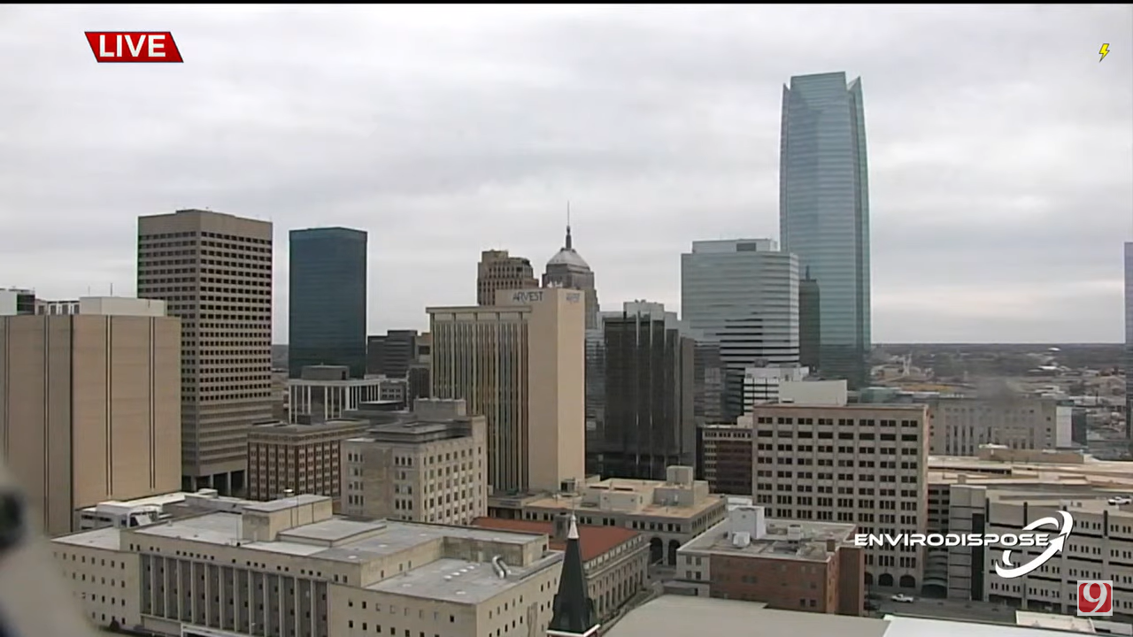
Oklahoma City Downtown – Real Time Live Cam Traffic Video
February 21, 2023
Watch these live views from downtown in Oklahoma City.

Southern Hills Country Club Live Webcams – Tulsa Oklahoma
May 19, 2022
Southern Hills Country Club, located in Tulsa, Oklahoma is a private, member-owned country club. The Club is best known for its Championship Golf Course, which has hosted a number of PGA evens. According to Golf Digest, the championship course is No. 32 on the list of America’s 100 Greatest Courses.
Tornado Alley Map
April 11, 2022
Watch live HD webcams in Tornado Alley by clicking on the state links on this map. Texas, Oklahoma, Kansas, Nebraska, South Dakota, Indiana, Missouri, Iowa, Illinois, and Ohio are officially the states that make up Tornado Alley. Although it is not an official part of TA, Florida has more tornadoes than any other state in the USA.
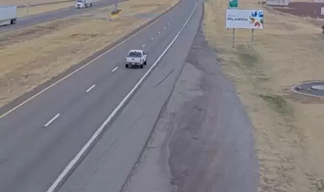
Welcome to Oklahoma Sign Live Webcam, I-40 Texola
April 4, 2022
Enjoy this Welcome to Oklahoma Sign Live Webcam.
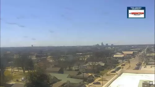
Real Time Towercam at East Central University, Ada, Oklahoma
March 31, 2022
Watch this live webcam from the tower of East Central University in Ada, Oklahoma. This live tower view shows traffic down below and monitors weather conditions throughout the day.
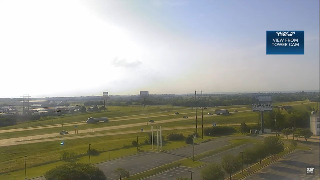
Live Webcam Holiday Inn I-35 Ardmore, Oklahoma, USA
March 30, 2022
Share on X (Twitter) Share on Facebook Share on Pinterest Share on Reddit Share on LinkedInArdmore OK Real Time Video Cam Watch this live traffic webcam facing I-35 from the Holiday Inn in Ardmore, Oklahoma. The Holiday Inn located on I-35 in Ardmore, Oklahoma, features a live webcam that provides real-time views of the surrounding
Video Cams in the Sooner State
Webcams located throughout Oklahoma provide a valuable resource for both residents and visitors, offering real-time views of various landscapes and urban areas across the state. These cameras are strategically positioned to capture the dynamic weather patterns, scenic vistas, and bustling activity in cities such as Oklahoma City and Tulsa. By accessing these webcams, individuals can gain insights into current conditions, whether they are planning a trip, monitoring traffic, or simply enjoying the beauty of Oklahoma’s diverse environments from the comfort of their homes.
About Oklahoma
Oklahoma is a state in the South-Central region of the United States, bordered by the state of Texas on the south and west, Kansas on the north, Missouri on the northeast, Arkansas on the east, New Mexico on the west, and Colorado on the northwest.
It is characterized by a mix of plains, forests, and hills, which contribute to its unique natural beauty. The state is home to a variety of ecosystems, ranging from the rolling prairies in the west to the lush forests in the east.
The cultural fabric of Oklahoma is woven from a rich tapestry of Native American history, pioneer heritage, and modern influences. With 39 federally recognized tribes, the state has a significant Native American population. Furthermore, this plays a vital role in preserving and promoting indigenous traditions, languages, and arts.
Additionally, Oklahoma’s history is marked by the Land Run of 1889, which opened up vast areas for settlement. Thus, leading to a unique blend of cultures and communities. In this way, the historical significance is celebrated through various museums, cultural centers, and annual events that highlight the state’s heritage.
The state is one of the leading producers of oil and natural gas in the country, which has significantly contributed to its economic growth. Agriculture also plays a crucial role, with Oklahoma being a major producer of wheat, cattle, and poultry.
Main Attractions
- Philbrook Museum of Art
- Route 66
- Science Museum Oklahoma
- Oklahoma City Zoo
- Oklahoma City National Memorial
- Oklahoma City Thunder,
Festivals & Events
- Oklahoma State Fair
- Azalea Festival
- Festival of the Arts
- Guthrie 89er Celebration
- Tulsa International Mayfest
- Red Earth Festival
More Information
Population: 3.959 million
Demographics: White: 72.32% Two or more races: 7.75% Native American: 7.62% Black or African American: 7.28%
Capital: Oklahoma City
Other Major Cities: Tulsa, Norman, Broken Arrow, Edmond, Yukon, Stillwater, Lawton
Major Airports: Will Rogers World Airport (OKC), Stillwater Regional Airport (SWO), Tulsa International Airport (TUL)