Watch the live Beach Weather Webcam Palm Beach, FL
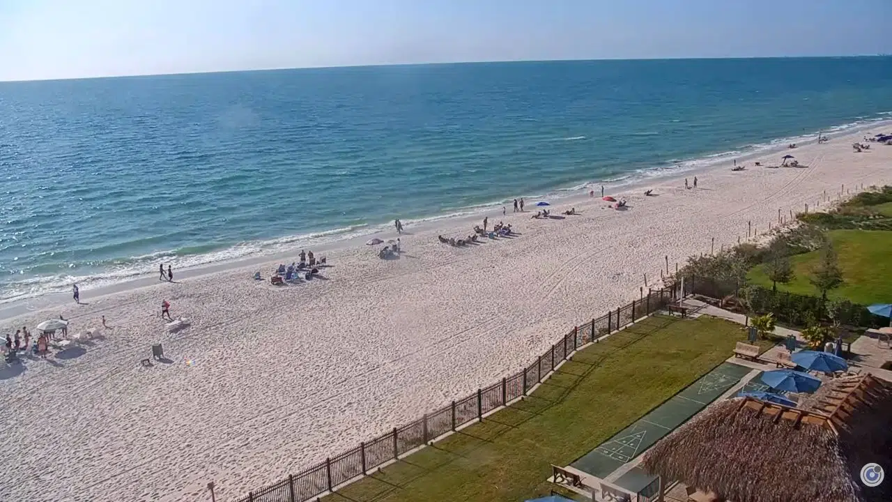
Live beach webcam from Cambria Condominium Associates in Palm Coast, Florida. One of the main attractions is the stunning beaches along the Atlantic Ocean. You can spend your day relaxing on the soft sand or building sandcastles with your family. The gentle waves make it perfect for swimming, and you may even spot dolphins playing in the distance. Beachside parks provide picnic areas, making it easy to enjoy a meal while listening to the sounds of the ocean.
For those who love nature, the parks and trails in Palm Coast offer amazing adventures. The Princess Place Preserve is an excellent spot for hiking, where you can wander through scenic paths lined with lush trees and enjoy the peaceful atmosphere.
Birdwatchers will delight in spotting various birds in their natural habitat. Additionally, the Intracoastal Waterway provides opportunities for kayaking and fishing. Thus, allowing visitors to connect with the area’s vibrant ecosystem and enjoy a quiet moment on the water.
Golf enthusiasts will find Palm Coast to be a true paradise. The area boasts several top-notch golf courses that attract players of all skill levels. With stunning views and well-maintained greens, golfing here is a relaxing experience.
After a day on the course, you can unwind at local restaurants that serve delicious seafood and Southern cuisine. The friendly atmosphere in Palm Coast makes it a wonderful place to create memories with friends and family, whether you spend time outdoors or enjoy the local dining scene.
Top Beaches
Palm Coast, Florida, has some beautiful beaches that everyone can enjoy. One of the best is Flagler Beach, known for its soft sand and calm waves, making it perfect for families. Nearby, Washington Oaks Gardens State Park offers stunning views and nature trails, ideal for a lovely walk. If you prefer a quieter spot, check out the small beaches along the coastline, where you can relax and listen to the ocean. Overall, Palm Coast’s beaches are great places for fun in the sun!