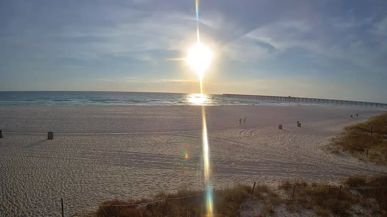


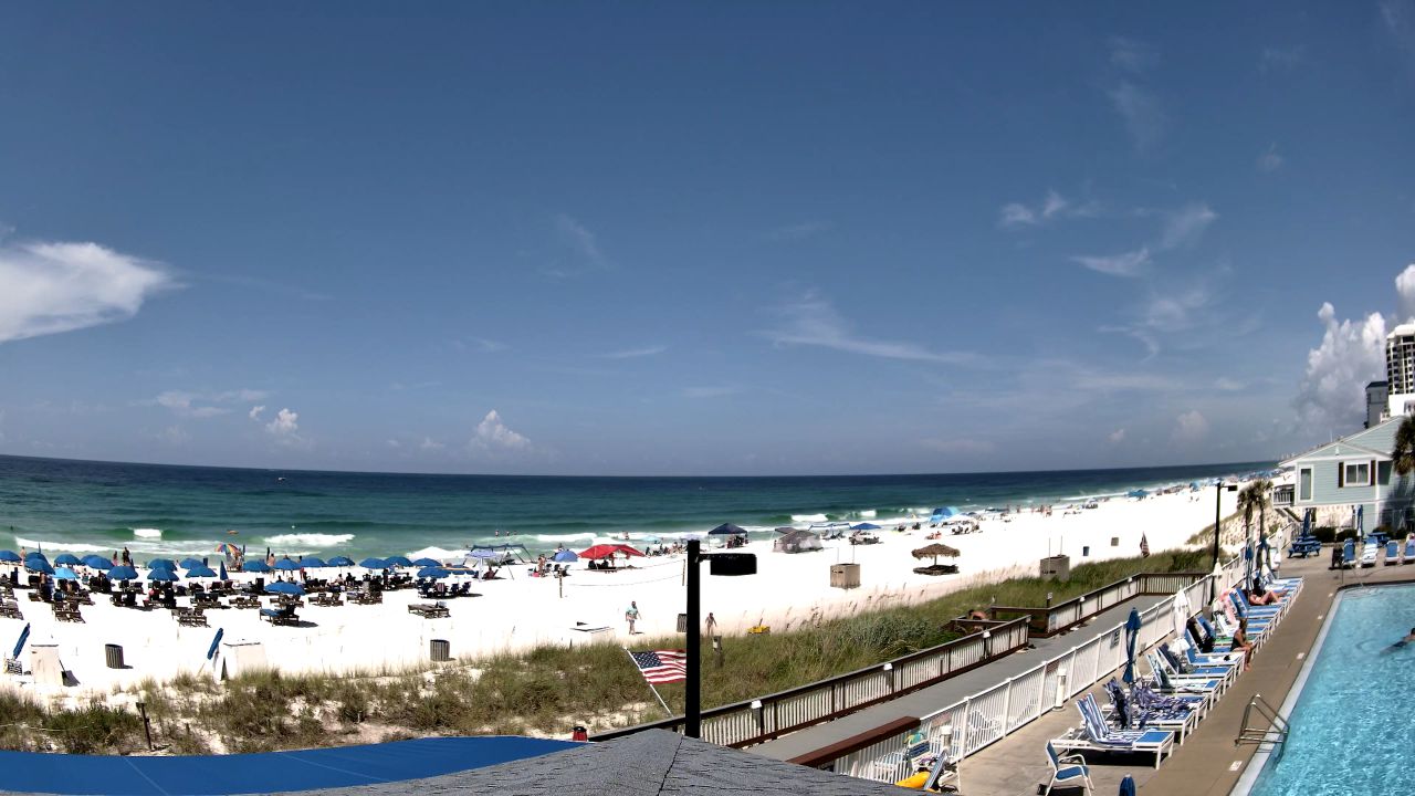
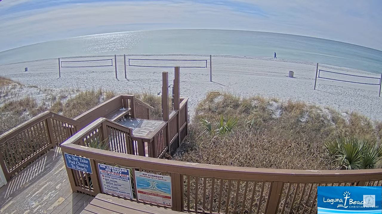
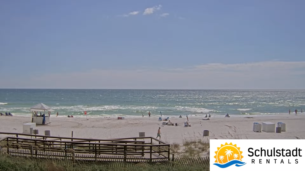




This high-vantage logistical hub index compiles the continuous, unedited visual feeds monitoring the 27-mile coastal footprint of Panama City Beach in Bay County, Florida. Programmed as a distributed automated telemetry network, these synchronized visual sentinels deliver real-time diagnostic insight into shoreline crowd saturation, Gulf shipping lane visibility, and Emerald Coast microclimate shifts for municipal safety planners, transit networks, and incoming maritime operators.
Distributed Beachfront Staging, Multi-Tower Overlooks, and Bay County Marine Logistics
PANAMA CITY BEACH WEATHER
This strategic Gulf Coast footprint interfaces Front Beach Road and South Thomas Drive with high-density hospitality, public marine staging, and offshore reefs. The telemetry array assists transport networks, maritime crews evaluating visibility, and weather monitoring across the Gulf.
- The West-End Pier Park Axis: Tracks Pier Park retail and Russell-Fields Pier congestion.
- The Central Costa Staging Loops: Monitors pedestrian flow near Majestic Beach, Shores of Panama, and Pineapple Willy’s.
- The East-End Pass Maritime Channels: Observes shipping and charter fleets at St. Andrews Pass.
- The Open Gulf Weather Horizons: Evaluates cloud ceilings, storms, and artificial reef visibility.
Logistics, Transit & Coastal Infrastructure Reference Grid
- Physical Anchor Site: Distributed Coastal Intercept Network, 27-Mile Gulf Shoreline Corridor, Panama City Beach, FL 32413
- Target Landmark Footprint: 8-Mile Active Core Beaches, Pier Park Commercial Enclaves, and Deep-Water Access Points
- Geographic Coordinates: 30.1766° N, 85.8055° W (Regional Centroid)
- Primary Automotive Axis: Front Beach Road (State Road 30), South Thomas Drive, and Panama City Beach Parkway (U.S. 98)
- Best Daily Viewing Times: 24/7 continuous stream; midday optimal for water clarity, late-afternoon for crowd tracking.
- Regional Transit Context: Serves western Bay County for transport coordination, seasonal events, and emergency evacuation monitoring.