Live Park Rapids Minnesota Webcam
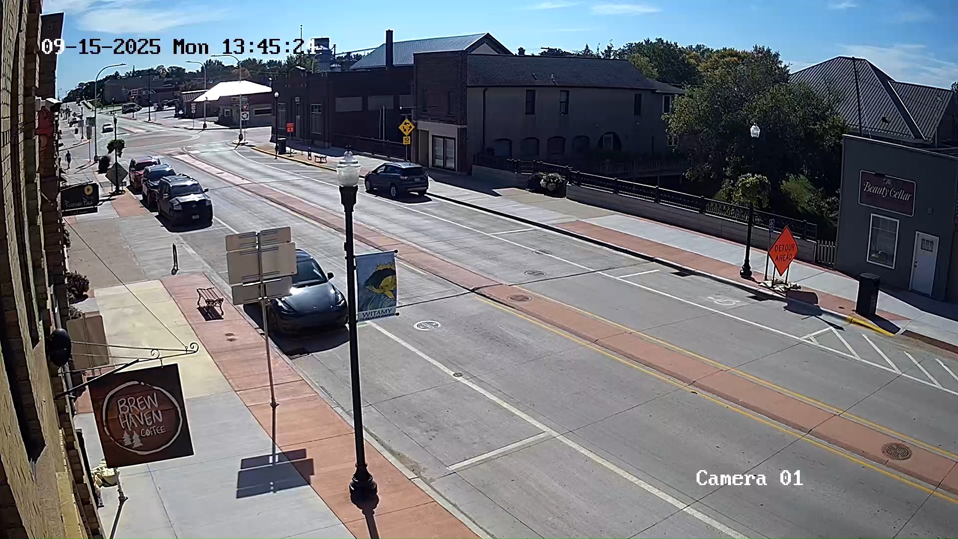
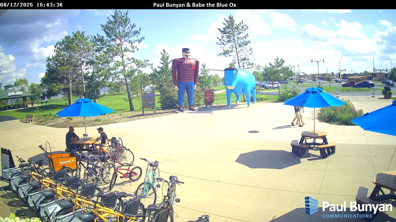
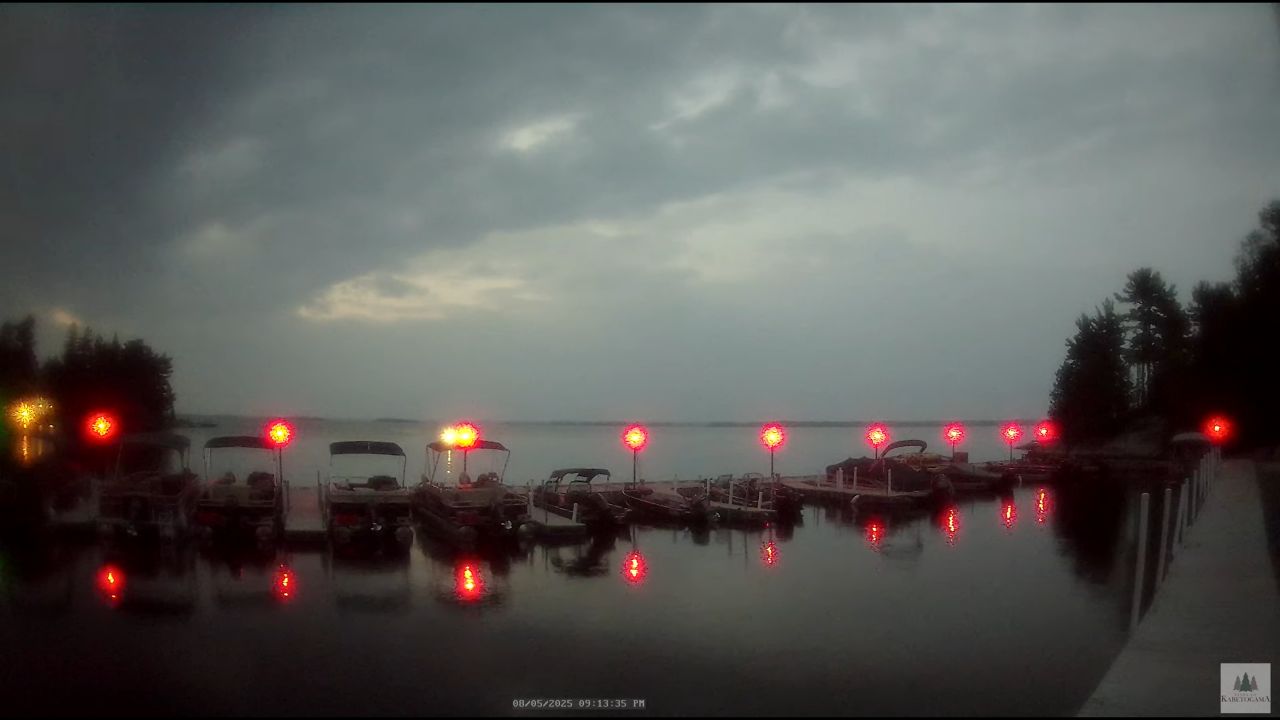
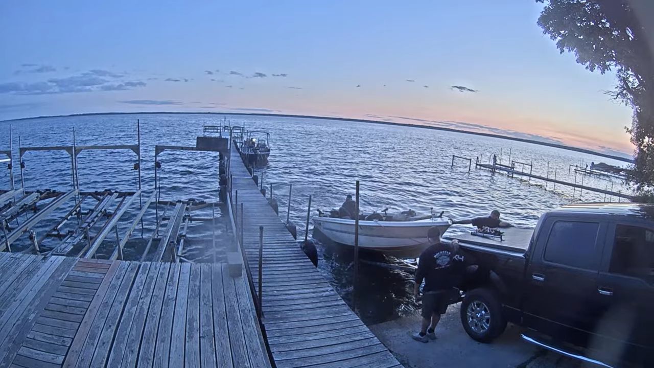
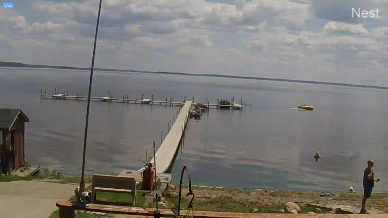
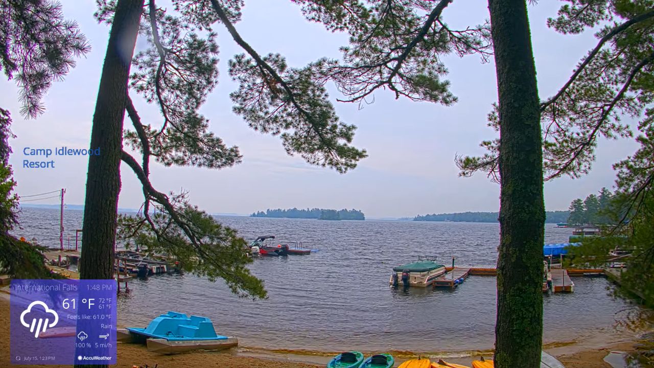
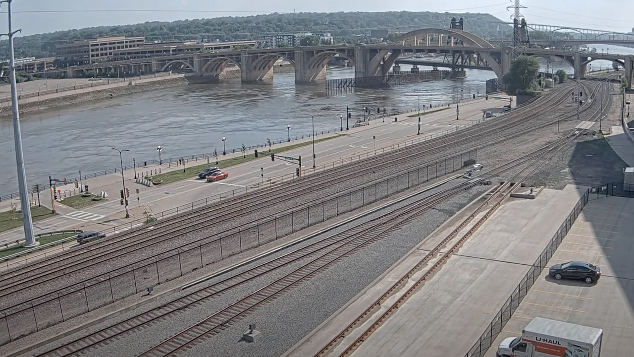
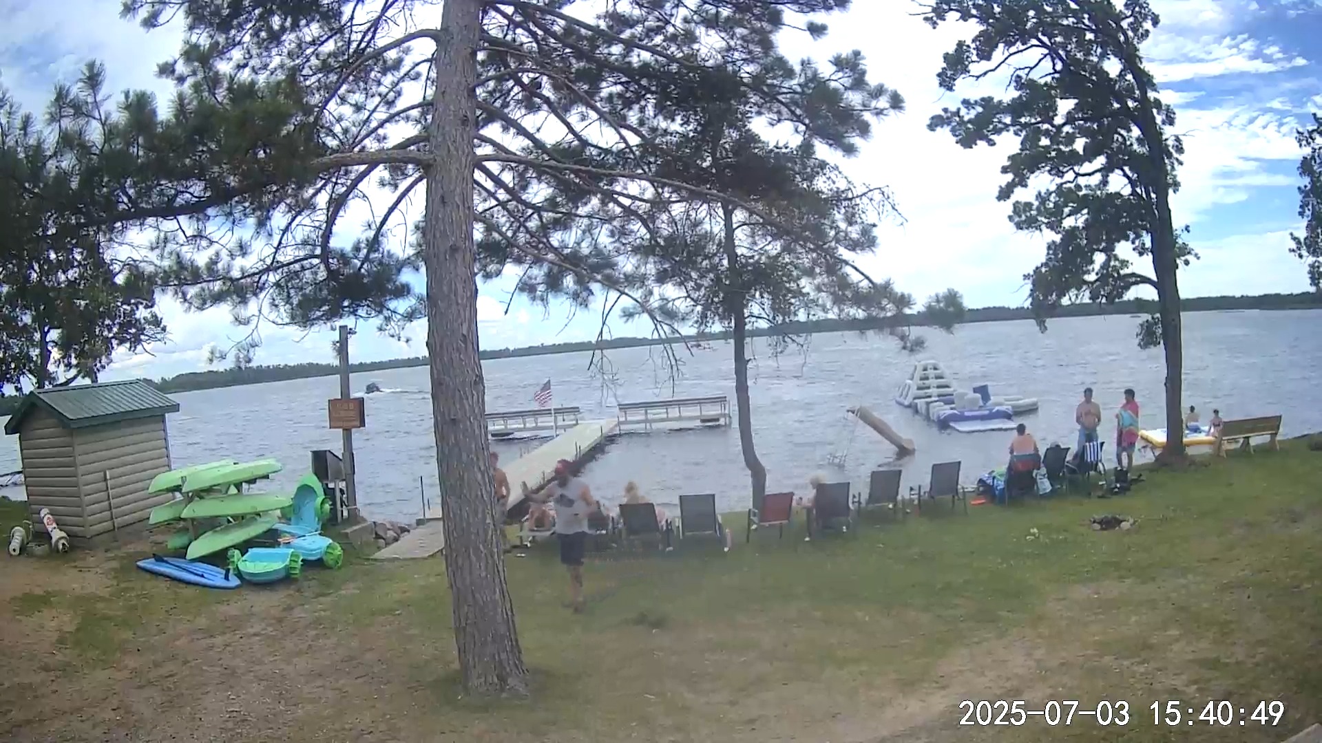
Enjoy watching this Park Rapids Webcam. Park Rapids is a city in the Heartland Lakes region and is the county seat of Hubbard County, Minnesota, United States. The webcam located in Park Rapids, Minnesota, offers a real-time view of this charming town, allowing viewers to experience its scenic beauty from anywhere in the world.
This digital window captures the essence of Park Rapids, showcasing its picturesque landscapes, vibrant community, and seasonal changes throughout the year. Whether it’s the lush greenery of summer or the serene snow-covered streets in winter, the webcam serves as a visual representation of the town’s unique character.
It is near Itasca State Park. It was named after the park groves and prairies beside the Fish Hook River rapids. Park Rapids is 7.6 miles. Very popular for its scenic downtown, parks, and recreational activities, Park Rapids offers great fun for the whole family.
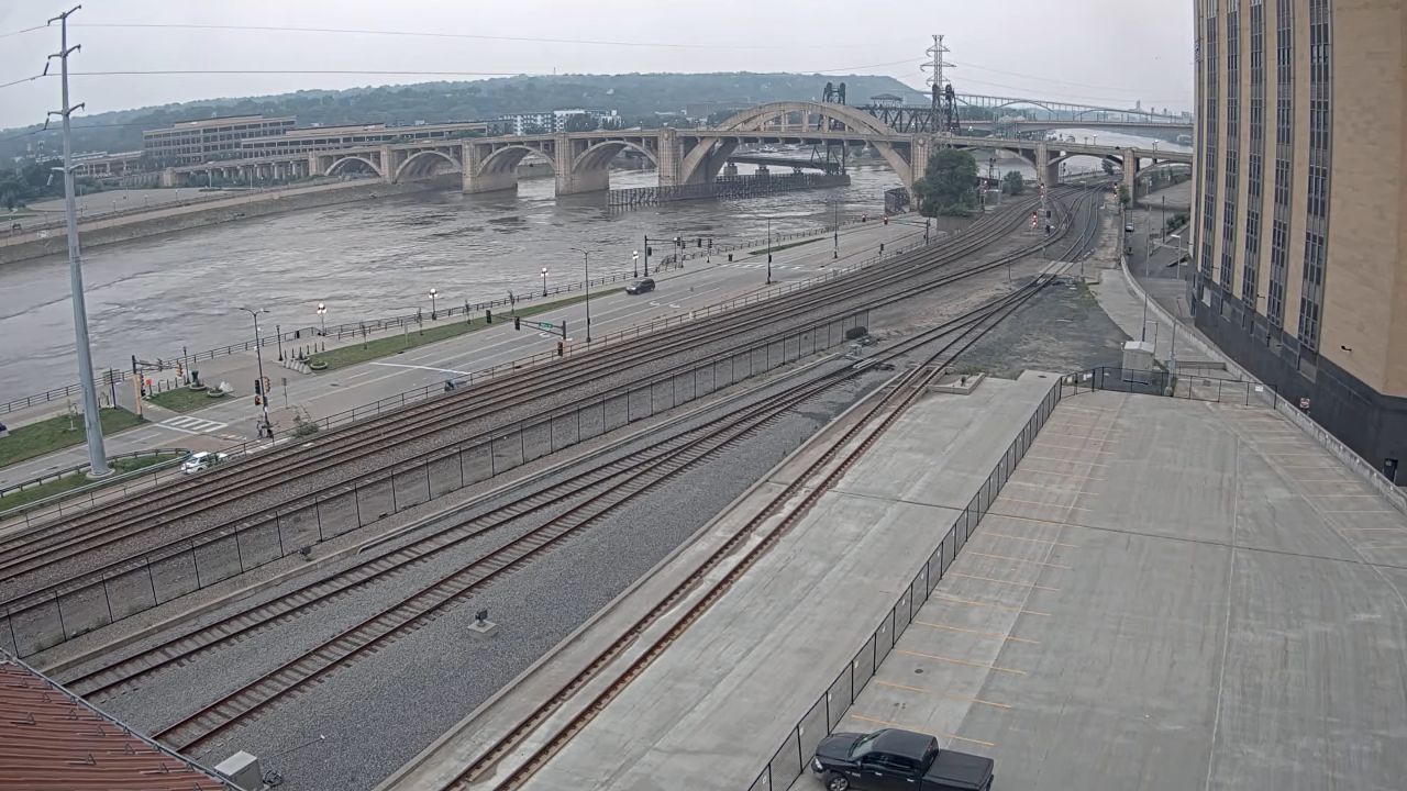
This city in Minnesota is home to some of the greatest parks, beautiful lakes, and thriving woods with activities suitable for everyone. Additionally, you can view nearby cameras in Bemidji and Grand Forks, North Dakota.
Whether you’re interested in watching the changing seasons, monitoring the traffic flow, or simply enjoying the peaceful views, this webcam provides a window into the heart of Park Rapids. With high-quality images and smooth streaming capabilities, viewers can immerse themselves in the sights and sounds of this vibrant community.
Things To Do: Jasper’s Theater, Evergreen Fun Park. Also, Two Inlets State Forest, Character Challenge Course. Pedego Electric Bikes Park Rapids, Aunt Belle’s Confectionery. Summerhill Adventures.
Weather In Park Rapids
The weather and climate in Park Rapids are characterized by four distinct seasons. Winters are cold and snowy, with temperatures often dropping below freezing. Spring brings milder temperatures and the start of the thawing process.
Summers are warm and humid, perfect for outdoor activities like fishing and hiking. Furthermore, the fall is known for its vibrant foliage as the leaves change colors before winter sets in. The proximity to the Great Lakes can also impact the weather. It brings lake-effect snow in the winter and cooler breezes in the summer.
Hotels & Resorts in Park Rapids
Some of the most famous hotels and resorts in Park Rapids, Minnesota include: Two Inlets Resort, Super 8 by Wyndham Park Rapids, Bear Paw Resort, C’mon In Park Rapids, Half Moon Trail Resort, AmericInn by Wyndham Park Rapids, Red Bridge Inn, Sleeping Fawn Resort & Campground, Little Norway Resort, Mantrap Lodge.
Restaurants in Park Rapids
Moreover, there are some great restaurants in Park Rapids, MN whether you are craving the social atmosphere of an American Bar, an Italian Restaurant or everything in between. Also, some of the prestigious restaurants in the area include: The Good Life Cafe, Necce’s Ristorante, Hilltop Inn Restaurant, Great Northern Cafe, Bella Cafe’, Rapid River Logging Camp, Douglas Lodge Restaurant, Companeros Mexican Restaurant, Zorbaz, Minnesoda Fountain, Royal Bar, Rocky’s Pizza.
Park Rapids Shopping
County: Hubbard County
| Cams Near Park Rapids | ||
|---|---|---|
| Fargo, North Dakota | Lake Bemidji | Grand Forks |