Step directly into the energetic, tropical rhythm of the Philippine archipelago! This live Philippines webcam directory serves as your ultimate real-time portal across an archipelagic nation of 7,641 islands. From the bustling, high-density neighborhood streets of southern urban metropolises to the raw, shifting mountain weather fronts surrounding active volcanic peaks, our streaming video matrix delivers an unfiltered look at daily life. Whether you are tracking local public transit loops, evaluating real-time maritime maritime weather conditions, or virtually soaking up the vibrant Southeast Asian atmosphere, these high-definition feeds bring the islands straight to your screen.


From Urban Commuter Corridors to Active Calderas
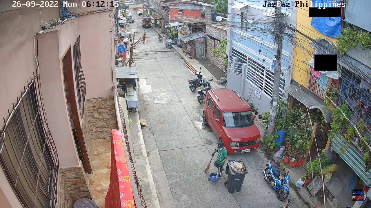
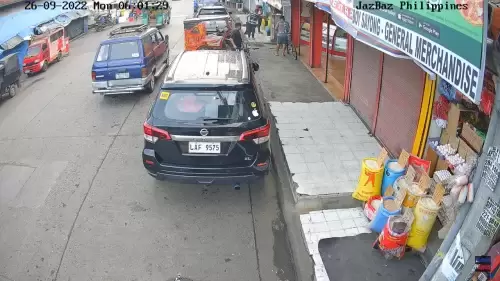
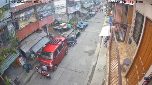
Our Philippine camera network highlights a striking contrast between rapid, high-density city development and wild, untamed nature. The absolute heart of our active street-level inventory centers on the vibrant district of Agdao in Davao City, located on the southern island of Mindanao. Looking through these neighborhood lenses, you can feel the true, raw pulse of the city. Lenses look out over vital thoroughfares like Soliman Street and the W Aquino Street flyover, capturing a continuous, colorful choreography of iconic public jeepneys, motorized tricycles, and busy market commerce.
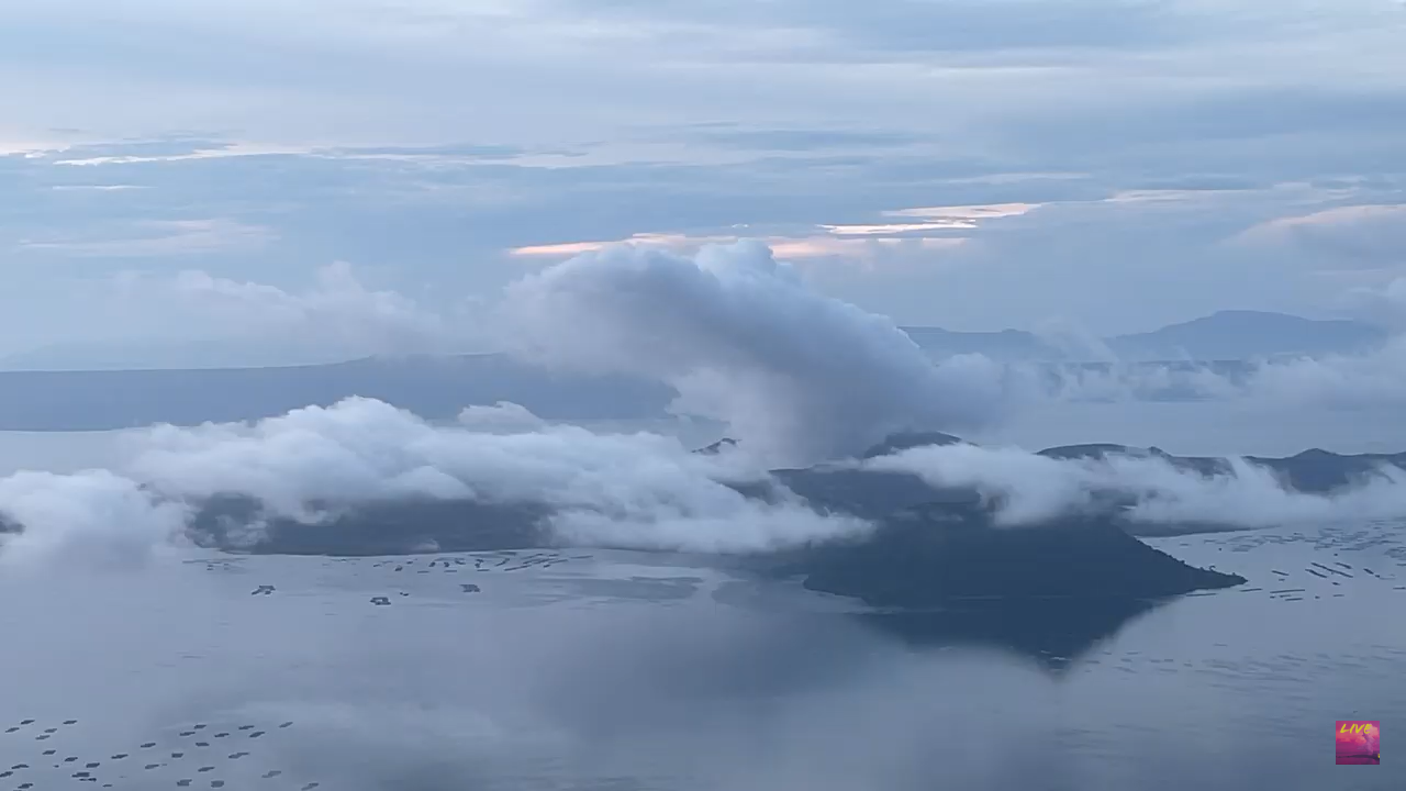
Pivoting away from the urban commercial core, the directory branches out to track the country’s dramatic ring-of-fire geology. Specialized monitoring cameras keep tabs on legendary natural wonders like Taal Volcano, letting global researchers, weather spotters, and eco-travelers evaluate real-time cloud ceilings and atmospheric visibility around the nation’s most active landscapes.
Featured Philippine Vantage Points to Track On Screen
As you cycle through the live streaming grid, look out for these distinct local setups across the country:
- The Soliman Street Corridors (Agdao, Davao): High-traffic neighborhood streams pointing toward the regional flyover, the Sta. Cruz Chapel, and Japan Street to display authentic commuter life.
- The Agdao Public Market Area: The buzzing commercial core of the district, showcasing real-time pedestrian crowds and open-air market transit.
- The Taal Volcano Station: A vital geological and weather monitoring feed positioned to observe shifting microclimates over active volcanic terrain.
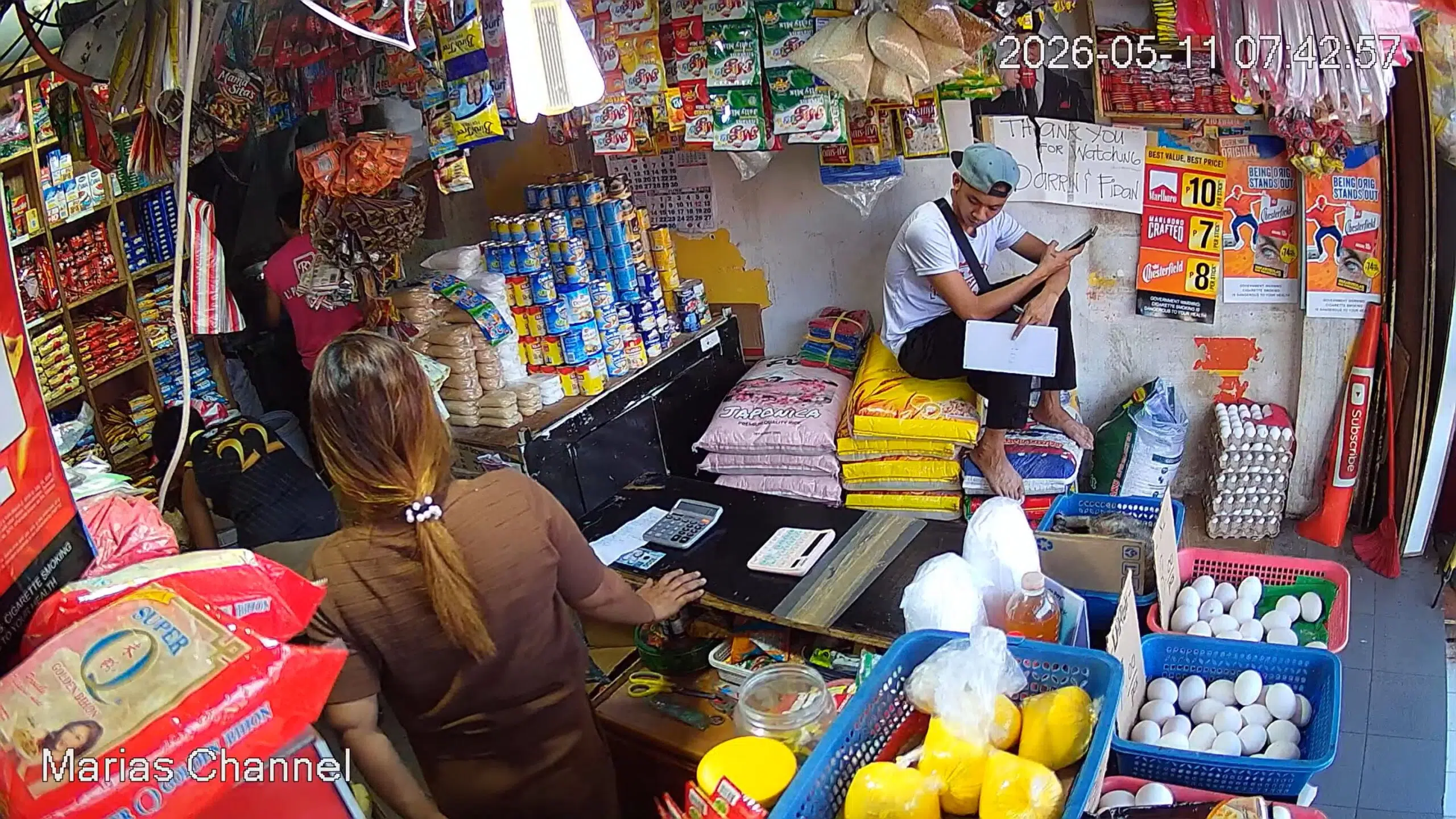
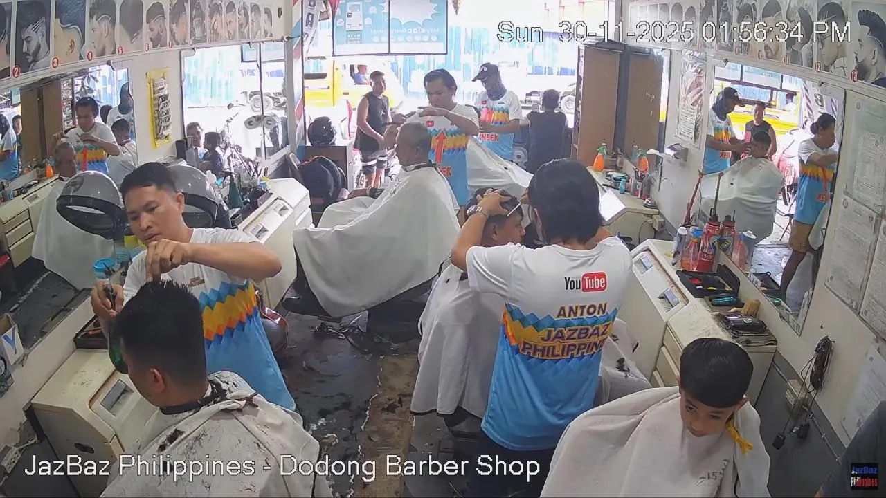
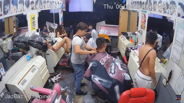
- Agdao Grooming Hubs: Unique community lifestyle lenses—including the popular local blocks outside Dodong Barber Shop and Maria’s Store—capturing the daily social rhythm of the neighborhood.
Map, Precise GPS Coordinates & Archipelago Navigation
Our master directory anchors its primary urban tracking hub in the southeastern corner of the country within the sprawling limits of Metro Davao.
- Exact GPS Coordinates (Davao Core): 7°05’22.1″N 125°37’43.5″E (7.0895° N, 125.6287° E)
- Primary Urban Transit Axes: W Aquino Street / Soliman Street Corridors
- Central Regional Gateway: Francisco Bangoy International Airport (DVO)
Setting this specific urban location as your geographical baseline makes it simple to trace transit routes cutting through Mindanao, map maritime lanes tracing the Davao Gulf, or chart regional flights heading north toward the capital city of Manila or the white-sand resort coasts of Boracay.
Reading the Tropical Sky: Maritime Seasons & Peak Watching Times
The Philippines experiences a distinct tropical maritime climate heavily moderated by the Pacific Ocean, characterized by a hot, dry summer window and a dynamic winter monsoon season.
- The Peak Commuter Rush: Tune into the Agdao market and street feeds between 7:30 AM and 9:30 AM, and late afternoons local Philippine time (PHT). This is when public jeepneys pack the lanes, offering an incredibly energetic display of urban transit.
- The Volcanic Storm Watch: Keep the mountain lookout cameras running during the rainy monsoon months from July through September to watch swift, dramatic tropical downpours roll across the peaks before giving way to brilliant, humid clearings.
Frequently Asked Questions
Why do commuters and travelers use these live Philippines webcams?
Because tropical weather systems and localized street congestion can develop rapidly across major metropolitan districts, locals and travelers use these live feeds to check real-time traffic flow, verify localized rain clearings, and monitor public transportation activity before heading out.
What are the main public transit vehicles visible on the Davao cameras?
The streams continuously capture the iconic transportation modes of the Philippines. Viewers can watch colorful, custom-painted public jeepneys (historic mass-transit vehicles) alongside thousands of nimble, motorized tricycles navigating the Agdao market lanes.
Where is the Taal Volcano camera physically located?
The geological monitoring equipment is stationed on the island of Luzon in the Batangas province, pointing over the caldera lakes. While it provides critical weather and volcanic data for the northern regions, our urban street-level inventory is anchored down south in Davao City.