Live Ponte Vedra Beach Webcam: Atlantic Surf & Coastal Weather Tracker

Ponte Vedra Beach Webcam

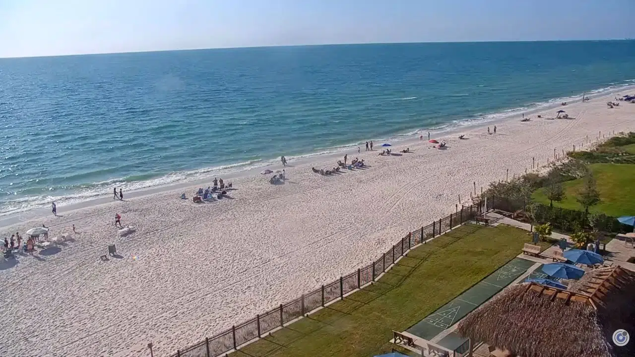
Track real-time Atlantic swell lines, pristine white-sand dune conditions, and Northeast Florida coastal weather shifts instantly. This high-definition, live-streaming coastal camera dashboard delivers a premier vantage point overlooking the upscale beachfront corridors, private clubs, and active surf breaks of Ponte Vedra Beach, Florida.

Whether you are a local surfer analyzing dawn-patrol wave breaks, a beachgoer monitoring afternoon sunbathing crowds, a coastal property owner verifying tidal shifts, or a resident tracking tropical weather systems pushing inland from the Atlantic Ocean, this live view serves as your primary visual resource before heading out.


High-Definition Coastal Surveillance Along the First Coast

The elevated streaming lens provides direct visibility over the shoreline, capturing real-time tide modifications, offshore maritime traffic, and changing cloud elevations over the open ocean.

Why Beachgoers and Surfers Rely on This Feed:

  • Real-Time Surf & Swell Appraisals: Analyze local wave periods, wind directions, and sandbar breaks before trailering or packing your gear.
  • Beach Crowding Logistics: Visually crosscheck seasonal beach volume, parking lot occupancy, and shoreline configurations.
  • Severe Weather Tracking: When active tropical depressions or intense nor’easters push toward the coast, this live camera offers instant confirmation of wind velocities, beach erosion, and dune exposure.

Local Geography & Coastal Climatology

ST. AUGUSTINE WEATHER

Understanding the distinct geographic footprint and weather mechanics of St. Johns County is critical for navigating its shores safely:

  • The High-Dune Ridge Topography: Ponte Vedra Beach boasts some of the highest and most scenic coquina-sand dune ridges along the Florida Atlantic coast, acting as a critical environmental barrier against storm surges.
  • First Coast Microclimate Dynamics: Summers feature a hot, marine-dominated climate regularly impacted by afternoon sea-breeze fronts. These temperature changes trigger sudden convective thunderstorms that bring heavy rainfall and lightning lines directly to the beachfront.
  • Nor’easter Season Exposure: From late fall to early spring, strong non-tropical low-pressure systems pushing off the Atlantic can create hazardous rip currents, heavy northeast wind swells, and significant tidal flooding over local beaches.

Top Waterfront Landmarks & Attractions Nearby

For visitors utilizing the live camera loop to map out a luxury coastal itinerary, the Ponte Vedra area hosts premier resort, golf, and ecological preservation hubs:

  • The Lodge & Club / Ponte Vedra Inn & Club: Historic, world-class luxury oceanfront resorts providing upscale amenities, tennis complexes, and iconic private beach club access along the boulevard.
  • TPC Sawgrass (The Players Stadium Course): Located just inland, this legendary golf facility serves as the headquarters of the PGA Tour and hosts the annual PLAYERS Championship on its world-famous 17th hole island green.
  • Mickler’s Landing Public Beach Front: A highly popular public beach access point featuring elevated wooden boardwalk splits, pristine coquina sands, and excellent opportunities for finding fossilized shark teeth.
  • Guana Tolomato Matanzas (GTM) Research Reserve: Positioned just south, this vast environmental sanctuary spans thousands of acres of protected salt marshes, high dunes, and coastal hiking paths.

Frequently Asked Questions

Where exactly is this Ponte Vedra Beach webcam physically located?

The high-definition camera network is securely mounted on premier oceanfront partner structures along Ponte Vedra Boulevard, delivering an unobstructed view facing east toward the open Atlantic shelf.

Can I use this camera stream to find shark teeth?

While the camera cannot spot individual shells or teeth, collectors utilize the live feed daily to check for low-tide conditions and calm surf windows, which are the absolute best times to comb the coquina lines at Mickler’s Landing.

How far is Ponte Vedra Beach from Jacksonville Beach, FL?

The community boundary sits immediately south of Jacksonville Beach. By traveling north along the scenic Highway A1A corridor, drivers can cross into downtown Jax Beach and reach the historic Jacksonville Beach Pier in less than fifteen minutes.

What are the main highway corridors serving the community?

The primary north-south coastal spine is State Road A1A, which links to major inland transit routes via J. Turner Butler Boulevard (SR 202) and Palm Valley Road (CR 210).


🗺️ Ponte Vedra Beach & St. Johns County Interactive Map

🚗 Ponte Vedra Beachfront Driver & Commuter Navigation Guide

Use the interactive map layout above alongside our live surf stream to navigate seasonal traffic backups and explore the First Coast smoothly.

🔀 Managing State Road A1A & Beachfront Congestion

  • The A1A Highway Axis: The primary beachside highway (SR A1A) faces major traffic volume slowdowns during sunny summer weekend afternoons, major tournament periods at TPC Sawgrass, and peak commuter windows.
  • Mickler’s Landing Public Parking Delays: The public parking lots off Mickler Road fill up completely by mid-morning on warm weekends. Use the live stream and interactive map to verify local conditions before packing your vehicle.
  • The Palm Valley Alternate: If the live camera or maps display heavy congestion along the boulevard, use Roscoe Boulevard or Palm Valley Road to travel north-south parallel to the Intracoastal Waterway, bypassing all beachfront residential bottlenecks.