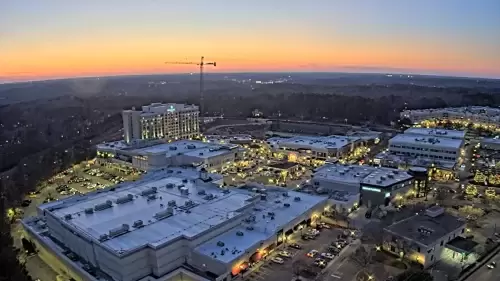
Track real-time Capital City commuter traffic, Research Triangle weather fronts, and downtown pedestrian crowd lines instantly. This centralized high-definition streaming camera grid provides a strategic layout of lookouts across Raleigh, North Carolina, offering an essential visual resource for navigating the “City of Oaks.”
Whether you are an I-40 commuter checking morning bottleneck delays before heading into Research Triangle Park (RTP), an NC State student verifying parking conditions near the Belltower, or a downtown resident monitoring fast-moving storm patterns across Wake County, this live dashboard serves as your primary visual transit tool.
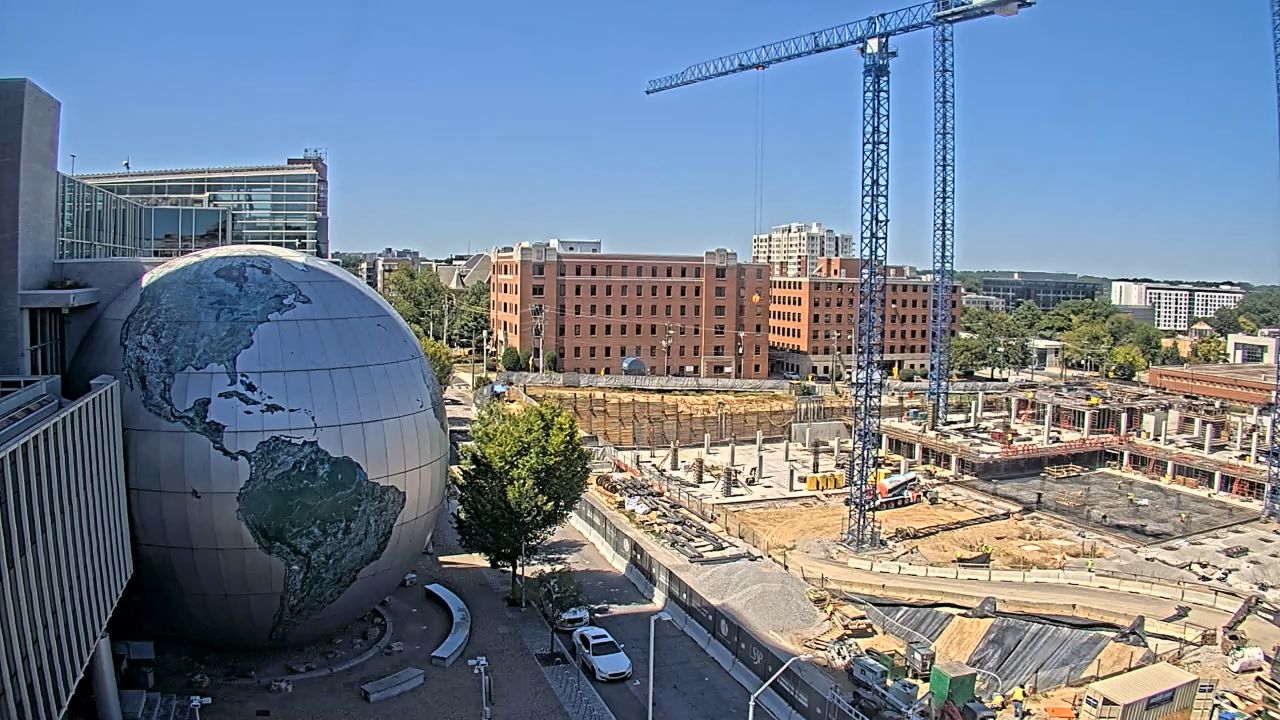
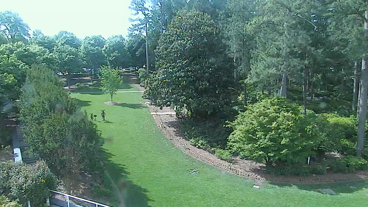
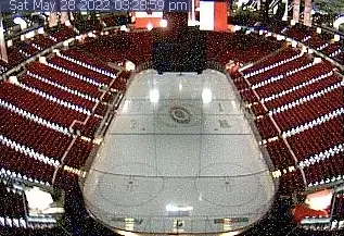


High-Definition Traffic & Transit Surveillance Across Wake County
The streaming lens network monitors the core transit arteries feeding the downtown business district, giving viewers real-time clarity into street-level pavement conditions, municipal construction lane blockages, and weather-induced transit bottlenecks.
Why Commuters and Locals Rely on This Feed Grid:
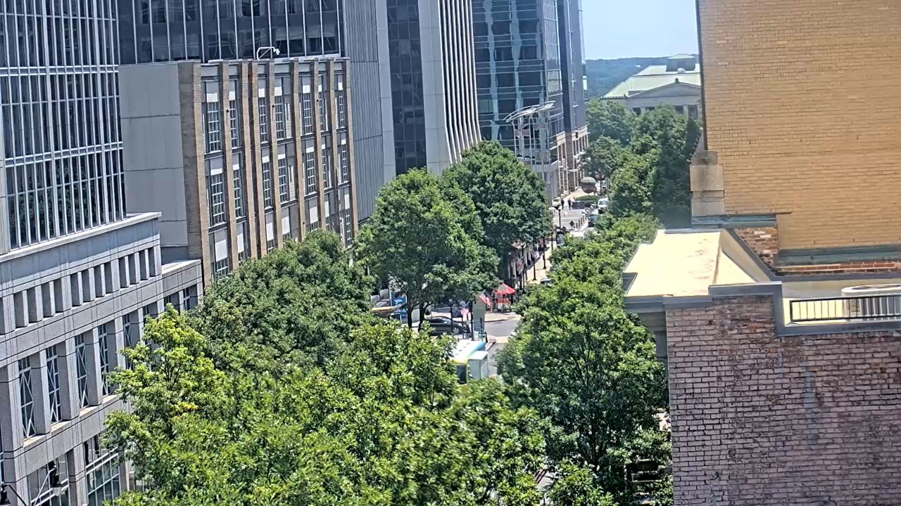
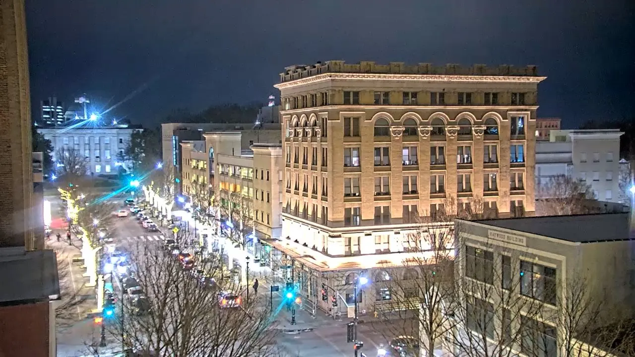
- Fayetteville Street Corridor Tracking: Visually crosscheck vehicle queues, pedestrian plazas, and event setups around City Plaza.
- Research Triangle Park (RTP) Commuter Planning: Analyze traffic delays, seasonal road work, and vehicle flows connecting Raleigh with Durham and Chapel Hill.
- Severe Weather Verification: Monitor sudden heavy downpours, low-visibility dense fog banks, and winter weather developments over major elevated interchanges.
Central Piedmont Topography & Humid Subtropical Climatology
RALEIGH WEATHERUnderstanding the distinct geographic footprint and regional weather patterns of the North Carolina Piedmont is crucial for navigating its roadways safely:
- The Research Triangle Transition Zone: Positioned between the Atlantic Coastal Plain and the rolling Piedmont hills, Raleigh sits inside a dynamic weather track that experiences high-humidity summer patterns and rapid storm front developments.
- Convective Summer Lightning Fronts: Peak summer months bring hot, highly humid air masses that routinely clash with dry continental shifts, producing severe afternoon thunderstorms with heavy rain bands and hydroplaning hazards.
- Winter Ice Storm Vulnerability: While deep snow accumulation is infrequent, sudden winter cold snaps clashing with maritime moisture can cause elevated bridge overpasses, highway ramps, and tree-lined local avenues to freeze rapidly.
Top Historical Landmarks & Points of Interest Nearby
For virtual travelers utilizing the camera streams to coordinate an educational itinerary, Raleigh hosts several premier historic, cultural, and educational districts:
- North Carolina State Capitol: A beautifully preserved 1840 Greek Revival building serving as the historic heart of state government administration.
- North Carolina Museum of Natural Sciences: The largest natural history museum in the Southeast, featuring interactive coastal, mountain, and fossil exhibition galleries.
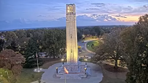
- North Carolina State University Belltower: The iconic historic landmark monument honoring alumni fallen in WWI, acting as the visual centerpiece of the campus district.
- PNC Arena / Carter-Finley Stadium District: The premier home sports arena complex hosting the NHL’s Carolina Hurricanes and NC State Wolfpack football games.
Frequently Asked Questions
Where are these live Raleigh webcams physically hosted?
The streaming cameras are securely mounted across key vantage points in the municipal center, including elevated partner properties overlooking the State Capitol, Fayetteville Street City Plaza, and the NC State University main campus lines.
Can I use these streams to monitor weather delays on Interstate 40?
Yes. Viewers utilize this layout grid daily to check visibility, pavement wetness, and traffic volume spikes along the primary commuter channels feeding the I-40, I-440 Beltline, and US-1 highway exchanges.
What is the closest commercial airport serving Raleigh, NC?
The region is directly serviced by the Raleigh-Durham International Airport (RDU), located roughly 15 miles northwest of downtown, providing seamless global transit links to the entire Research Triangle area.
🗺️ Downtown Raleigh & Research Triangle Interactive Map
🚗 Raleigh Commuter & Driver Navigation Guide
Use the interactive map above alongside our live traffic streams to bypass heavy downtown gridlock and navigate Wake County routes seamlessly.
🔀 Navigating Peak Commuter Bottlenecks
- The Wade Avenue Split: A notorious choke point during morning and evening rush hours (7:30 AM – 9:00 AM and 4:30 PM – 6:30 PM) where traffic transitions from I-40 to the I-440 Beltline. Check our streams before taking this ramp.
- The Fayetteville Street Grid: Downtown surface streets can experience major lane closures during weekend farmers’ markets, civic marches, or major music festivals. Use Dawson Street or McDowell Street as your direct one-way north-south alternates.
- Rideshare and Event Parking Loops: When traveling to major events near the Martin Marietta Center or City Plaza, utilize the public parking decks on Wilmington Street or Blount Street to avoid fountain congestion.