Connecting directly across the southwest maritime borders of the United States, this multi-camera directory hub delivers a centralized network grid mapping the high-volume shipping bays, commercial flight paths, and volatile Pacific surf lanes of San Diego, California. Operating as a practical visual index, this collection helps Pacific mariners monitor tidal currents inside the harbor entries, regional freight handlers verify traffic flow along the Interstate 5 and Interstate 15 corridors, and coastal sports enthusiasts check changing beach weather patterns in real time.






Commercial Harbor Lanes, Airport Runways, and Shoreline Surfer Logistics
The centralized streaming index provides daily commuters, aviation dispatchers, and maritime pilots with immediate access to eyes-on data to eliminate Southern California travel guesswork. Because sudden coastal marine layer fog banks can blanket the beaches instantly—dropping horizontal visibility to near zero and delaying cross-bay vessel transit—verifying lane and water surface conditions beforehand is an essential travel safety precaution.
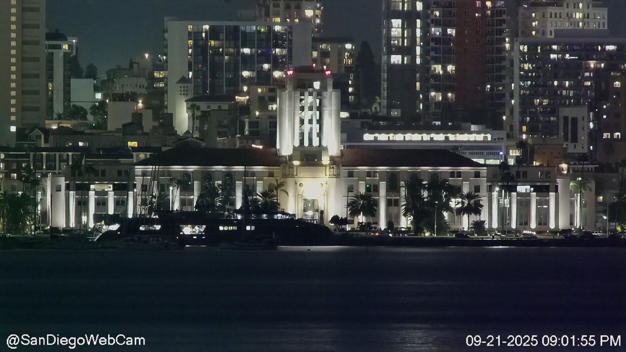
- The San Diego Bay Interchanges: Watch real-time naval vessel movements, commercial cargo tug alignments, and passenger ferry boarding queues from elevated harbor viewpoints.
- The Lindbergh Field Runway Strands: Monitor commercial aircraft takeoff velocities, runway approach paths at San Diego International Airport (SAN), and bay-front wind shear.
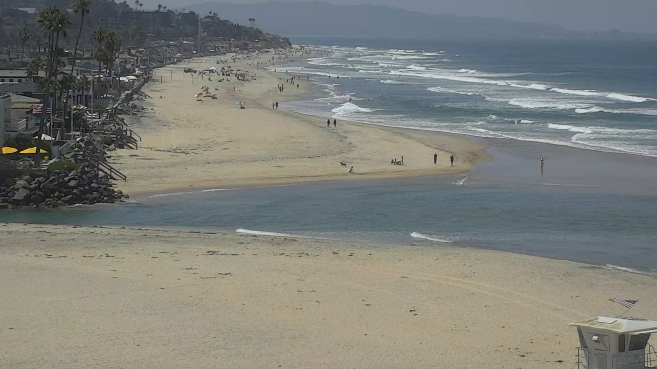
- The North County Surf Breaks: Check breaking right-hand wave profiles, shallow sandbar setups, and public beach crowd density along La Jolla Shores and Del Mar Dog Beach.
- The Downtown Entertainment Districts: Track sidewalk pedestrian foot traffic density, crosswalk safety zones, and rooftop lounge weather metrics overlooking the historic Gaslamp Quarter.
Subtropical Coastal Topography and San Diego County Transit Info
The weather-hardened camera network utilizes elevated municipal gantries, high-vantage resort tower terraces, and fixed-lens facility fixtures to track environmental safety across the coastal plains, inland valleys, and peninsula bluffs.
- Exact Center Hub Coordinates: 32°42’54.2″N 117°09’45.2″W
- Primary Aviation Gateway: San Diego International Airport (SAN) serves as the primary international transport pipeline, situated directly adjacent to the commercial harbor basins.
- Primary Overland Logistics Arteries: Interstate 5 (I-5 Border Corridor) / Interstate 8 (East-West Axis) / Interstate 15 (Inland Valley Artery) / State Route 94.
This expansive geographic directory links the high-density financial skyscrapers of the city center to the rugged bluffs of Point Loma, the historic plazas of Old Town, and the inland commercial corridors of Mission Valley, serving as a critical environmental checkpoint for international supply chains and daily commuters navigating Southern California.