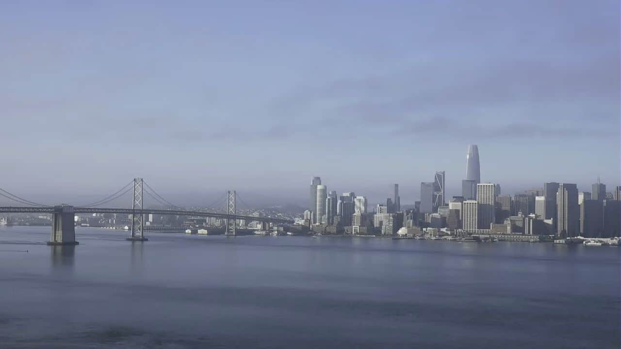
This master regional directory coordinates a streaming network of high-vantage observation nodes tracking real-time transit velocities, maritime harbor lane saturation, and rapid microclimate transformations across San Francisco, San Francisco County, California. Integrating a synchronized video matrix that spans from the rugged coastal cliffs to the downtown skyscrapers, this centralized portal delivers an unedited 24-hour visual index of the Bay Area’s primary transport and recreation grids. Commuters tracking peak-hour bridge bottlenecks, maritime operators monitoring cross-channel wave chop, and regional weather networks utilize this live index daily to analyze street-level congestion, check incoming advection sea fog banks, and log real-time horizontal visibility thresholds.



The Golden Gate Overlooks, Historic Pier Basins, and Silicon Valley Logistics
SAN FRANCISCO WEATHERStretched across a premier transcontinental maritime gateway, this high-density peninsula handles an intensive daily multi-modal transit load where international shipping channels directly interface with multi-billion-dollar tech corridors, underground subway networks, and celebrated historical landmarks. Toggling across the distinct city feeds simplifies tracking passenger vehicle parking lot saturation past the downtown retail blocks, lets sailboat skippers check wind shear patterns before departing onto the open bay, and maps volatile Pacific rain cells. Whether you are auditing commuter processing lines approaching the Golden Gate and Bay Bridges, timing logistics arrival tracks near the San Francisco International Airport (SFO) terminals, or planning an exploration past the historic storefronts of the Castro and Fisherman’s Wharf, this permanent visual matrix serves as an essential tool for verifying open transportation corridors.
- The Iconic Cross-Bay Bridge Portals: Access live feeds tracking multi-lane passenger vehicle velocity tracks, heavy freight commercial carrier configurations, and immediate roadway asphalt deck weathering along the Interstate 80 and U.S. 101 corridors.
- The Active Marina and Waterfront Piers: Monitor private yacht mooring alignments, commercial ferry transit loops, and localized wildlife tracking loops at high-traffic hubs like the Pier 39 Sea Lion docks and the Oracle Park harbor basins.
- The Dense Urban Transit Crossroads: Watch street-level pedestrian movement thickness, cable car rail track saturation, stop-and-go public transit bus shuttle queues, and evening marquee illumination arrays along prominent Market Street veins.
- The Windward Coastal Shoreline Sentinels: Evaluate changing marine layer fog density patterns rolling off the Pacific, real-time daylight visibility depths over the sandy strands of Ocean Beach and Muir Beach, and spectacular evening golden hour sunsets.
Logistics, Transit & Regional Aviation Reference Grid
- Physical Index Anchor: Northern California Master Portal Matrix, Central Directory Operations Tier, San Francisco, San Francisco County, CA 94102
- Total Territorial Footprint: 3.3-Million High-Capacity Domestic Consumer Hubs, Sprawling Multi-Billion-Dollar Silicon Valley Technology Enclaves, Historic Beaux-Arts Architectural Preservation Vaults, and Connected Deep Freshwater Shipping Channels
- Primary Regional Municipalities: San Francisco (Urban Core) / Oakland (Freight Terminals Corridor) / San Jose (Silicon Valley Axis) / Berkeley Academic Corridors / Tiburon and Sausalito Maritime Enclaves
- Primary Automotive Axis: U.S. Route 101 (Bayshore Freeway Spine) / National Interstate 80 (Bay Bridge Pipeline) / Interstate 280 / Interstate 880 / State Route 1 (Pacific Coast Highway Axis) / Market Street
- Primary Air-Marine Freight Access: San Francisco International Airport (SFO) / Oakland International Airport (OAK) / San Jose Mineta International Airport (SJC) / Port of San Francisco Container Terminals / VTA and BART Mass Transit Rail Lines
- Best Daily Viewing Times: 24/7 continuous stream. Late morning slots capture pristine water clarity and active beach promenade saturation under clear natural horizontal lighting formats flawlessly, while late evening frames track spectacular skyline neon illumination arrays and moving highway transit headlight lines safely.
- Regional Transit Context: Positioned as the foundational informational landing page for the county commercial and transit tracking network, anchoring all sub-district watercraft tracking, territory zone data tracking, and emergency evacuation monitoring infrastructure of the area.