Real-Time Mountain Weather Feeds, Cowboy Country Traffic, and Highway Tracking
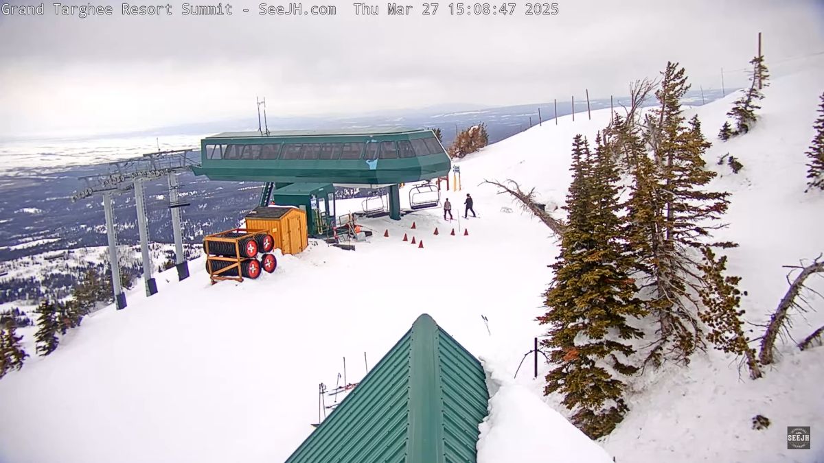
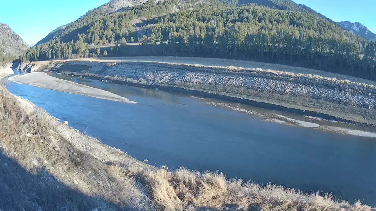
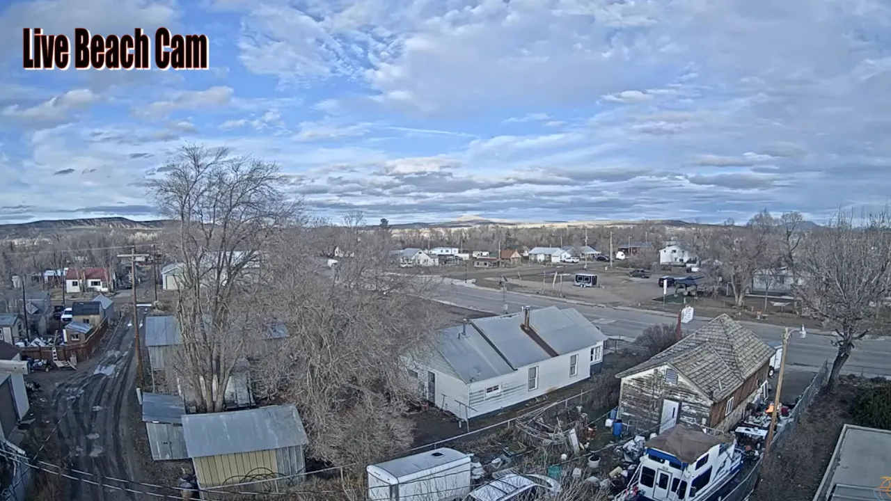
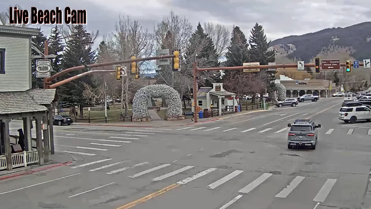
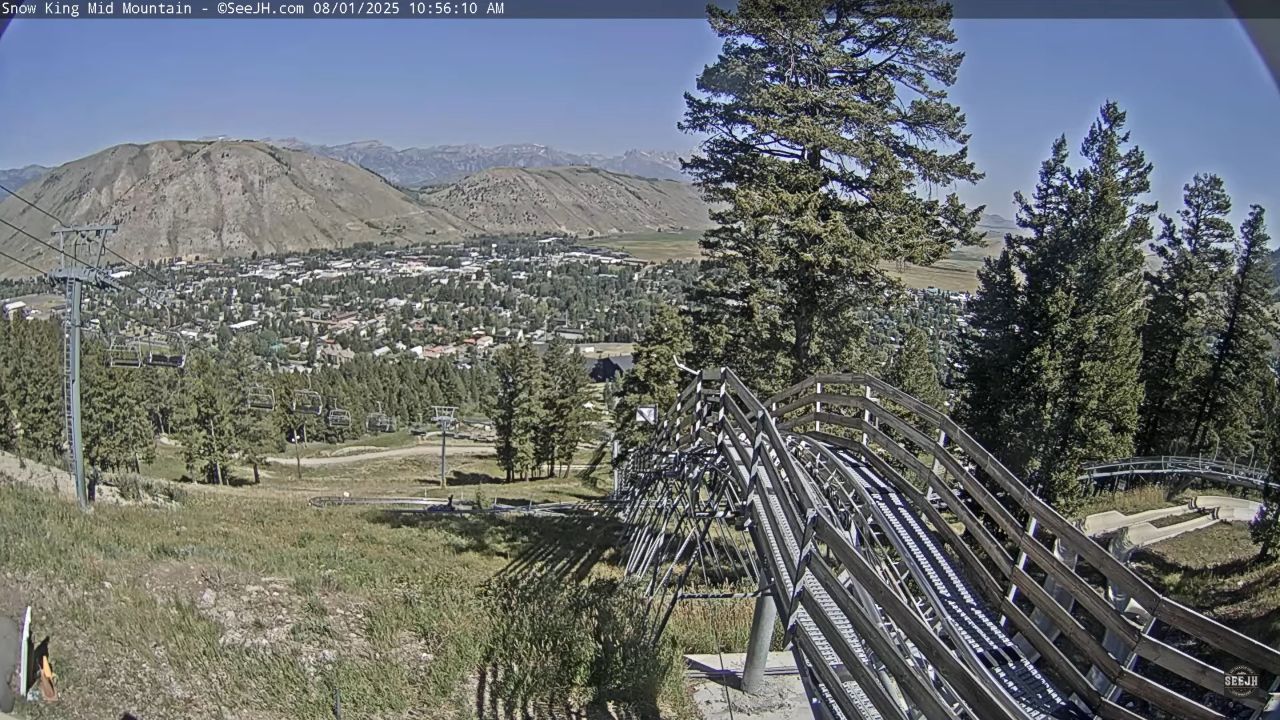
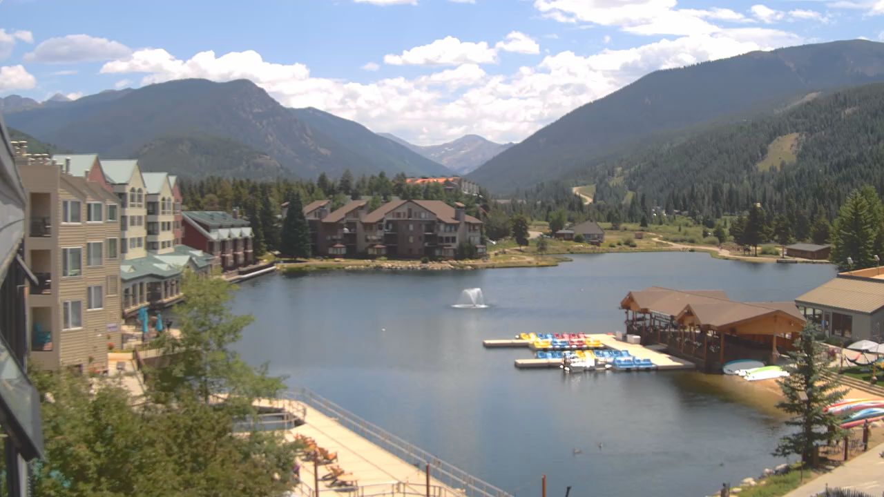
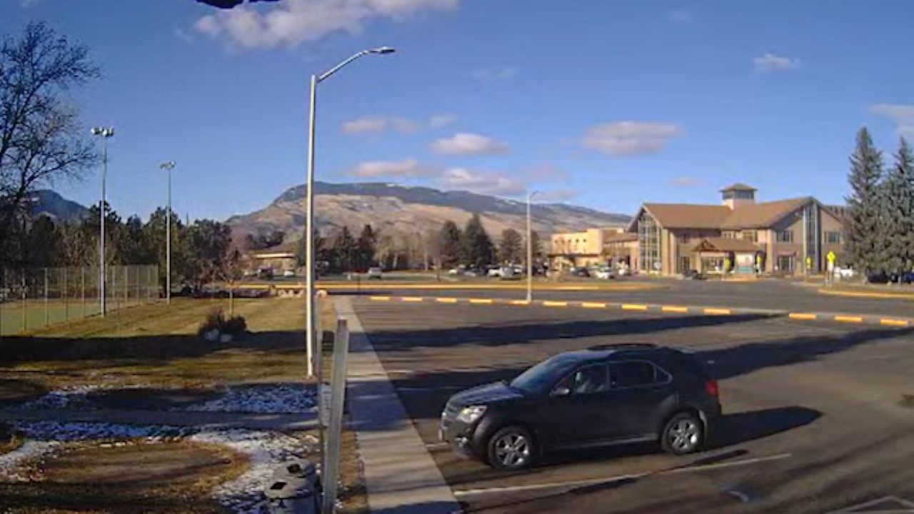
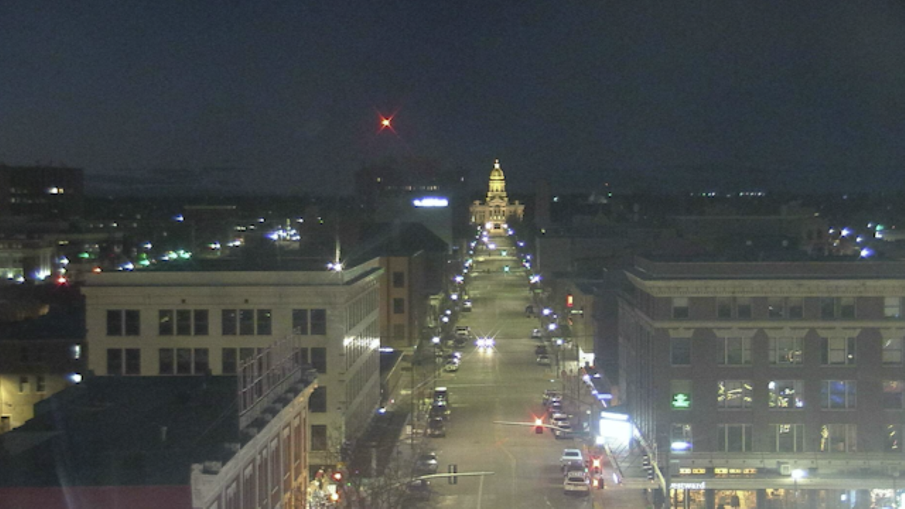
Step directly into the rugged charm of the Old West. The Sheridan Wyoming live webcams broadcast continuous, high-definition visual telemetry straight from the heart of iconic cowboy country. Strategically mounted across central thoroughfares via local broadcasting outlets, these remote lenses give you a detailed look at the shifting weather rolling off the Bighorn Mountains, track seasonal mountain snowfall, and monitor pedestrian road conditions across the town’s historic storefronts.
Rather than offering generic video loops, this live portal serves as an operational dashboard for alpine adventurers plotting treks into the Bighorn National Forest, historians tracing pioneer legacy, or road-trippers monitoring interstate conditions along the northern Wyoming frontier.
Western Heritage & High-Altitude Climate Data
Nestled in the pristine valley between the tongue and goose creek systems, Sheridan sits at an elevation of 3,743 feet. The community represents a striking intersection of frontier history, working cattle ranching culture, and modern mountain recreation.
The live environmental streams capture a highly dynamic regional landscape shaped by distinctive mountain climate patterns:
- Frontier Military History: Long before it became a hub for outdoor recreation, the surrounding valley was the epicenter of the American Indian Wars. The landscape directly anchors landmarks like the Rosebud and Wagon Box battlefields.
- Distinct High-Plains Seasons: The visual streams track a semi-arid, four-season mountain environment. Winters regularly see temperatures drop below 15°F alongside 70 inches of annual snowfall, while crisp summer months offer bright, high-desert sunshine reaching the low 90s.
- The Main Street Aesthetic: Shifting inland, the town’s central architectural grid is tightly preserved, showcasing beautifully restored turn-of-the-century brick facades that function as a bustling, independent shopping district.
The Sheridan Exploration Blueprint
If monitoring the real-time mountain peaks has you ready to pack your hiking boots or hitch up a trailer for an expedition into Sheridan County, use this localized itinerary framework to plan your stops:
Cultured Historical Outposts
- King’s Saddlery and Museum: Step away from the digital feeds to explore a world-famous, massive tack shop and museum housing thousands of historic cowboy saddles, vintage ropes, and frontier artifacts.
- The Historic Sheridan Inn: Visit the legendary 1892 hotel once operated by “Buffalo Bill” Cody, featuring a beautifully preserved front porch and a grand bar imported directly from England.
- Trail End State Historic Site: Tour a striking, 1913 Flemish Revival-style mansion built by a cattle baron, offering an intimate look at the luxury lifestyles of early Wyoming governors.
Alpine Wilderness Excursions
- Bighorn National Forest: Navigate the steep scenic byways ascending into over a million acres of protected wilderness, alpine lakes, and dramatic limestone canyons.
- Shell Falls: Hike to a massive, roaring canyon waterfall where glacial meltwater thunders through ancient granite rock formations carved over millions of years.
- Kendrick Park: Walk under giant cottonwood trees right in the center of town to view the community’s resident, protected herd of live bison and elk.
Regional Culinary & Gathering Hubs
- The Blacktooth Brewing Company: Unwind after a mountain trek at this highly celebrated local brewhouse, famous for crafting award-winning, ruggedly authentic Western ales.
- Frackelton’s: Secure a table in the historic district to enjoy premium contemporary American dining, local steaks, and artisan cocktails in an upscale, casual setting.
- Cowboy Cafe: Stop by this iconic morning landmark for a classic, hearty Western breakfast platter served alongside rich coffee and homemade pies.
Spatial Data & Mapping Profile
The main downtown intersection camera network anchors our regional Intermountain West transit directory at exact coordinates 44.7972° N, 106.9561° W in Sheridan, Sheridan County, Wyoming. Backcountry hikers, motorists, and history enthusiasts utilizing this real-time map can trace navigation loops passing between the historic Main Street corridor and the scenic mountain turnoffs of US Highway 14, position public vehicle parking spaces right beneath the nearby WYO Theater structures, and chart overland travel routes extending past the Tongue River valley straight into the expansive state park networks of the northern Bighorn basin.
Frequently Asked Questions
Where can I securely watch the free Sheridan Wyoming webcams?
The high-definition, live video streams are hosted entirely for free via prominent regional broadcasting networks, municipal traffic agencies, and local news centers without requiring any third-party app installations or hidden fees.
Is the road through the Bighorn Mountains open year-round?
Mountain passes like US Highway 14 and 14A experience extreme winter weather and heavy drifting snow. While snowplow crews work diligently, high-altitude sections frequently enforce temporary closures or strict tire-chain restrictions during major winter storm cycles.
When does the famous Sheridan WYO Rodeo take place?
The historic WYO Rodeo is hosted annually during the second week of July. The week-long celebration draws thousands of spectators to the valley for professional rodeo events, parades, and live Western concerts.
What are the best hotel options visible near the historic center?
The town features a diverse hospitality layout ranging from the deeply historic rooms inside the authentic Sheridan Inn to premium, modern mountain suites located at properties like the Fairfield Inn & Suites or the Best Western Sheridan Center.