Watch the live webcam from Shores of Panama
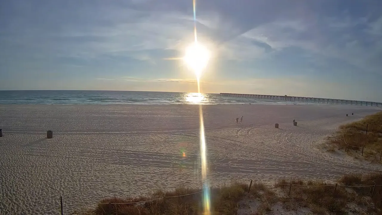
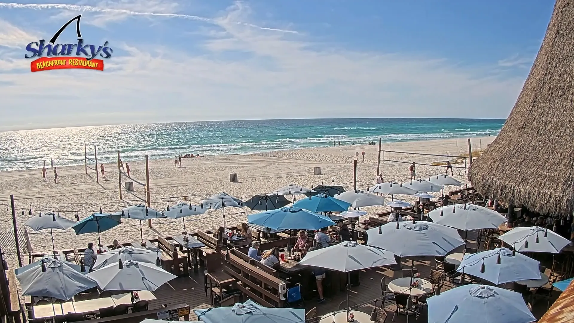
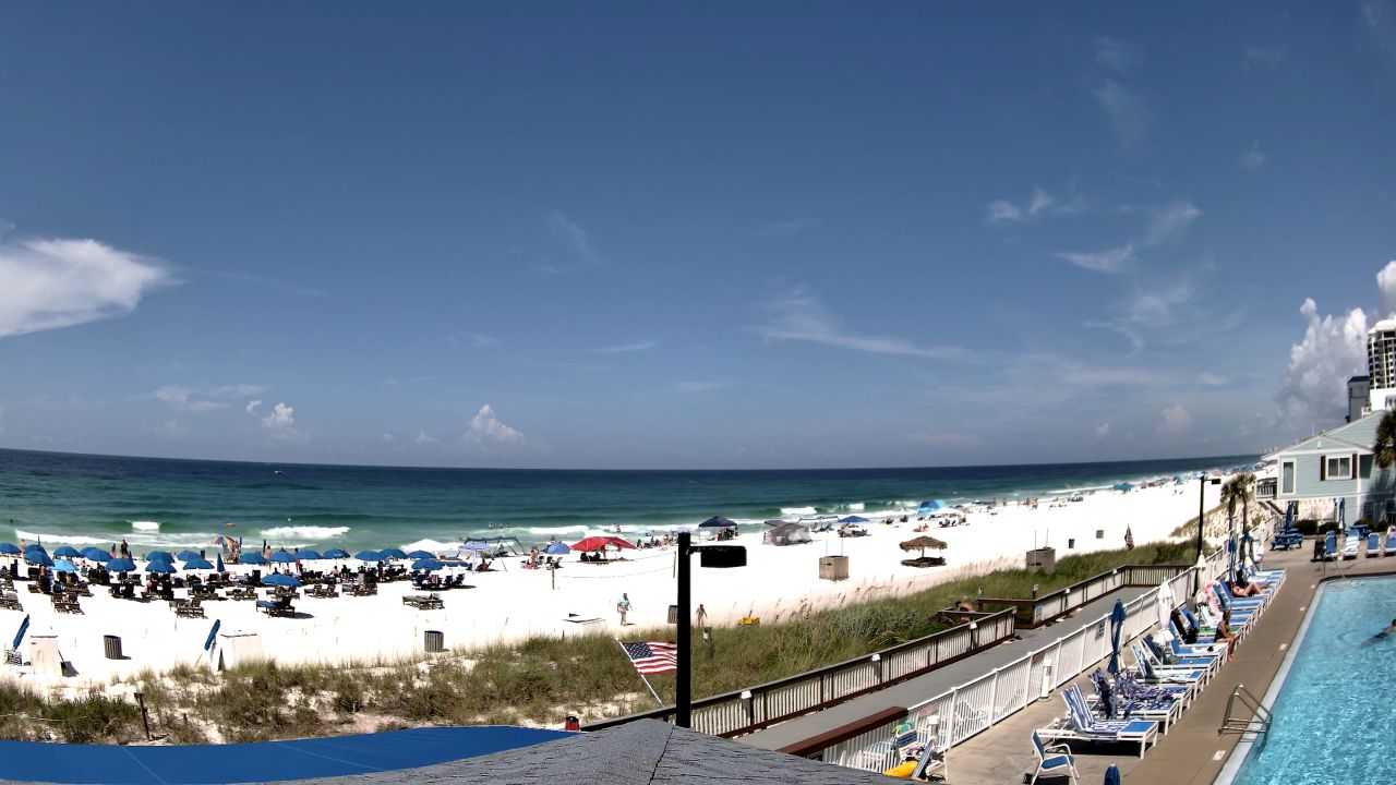
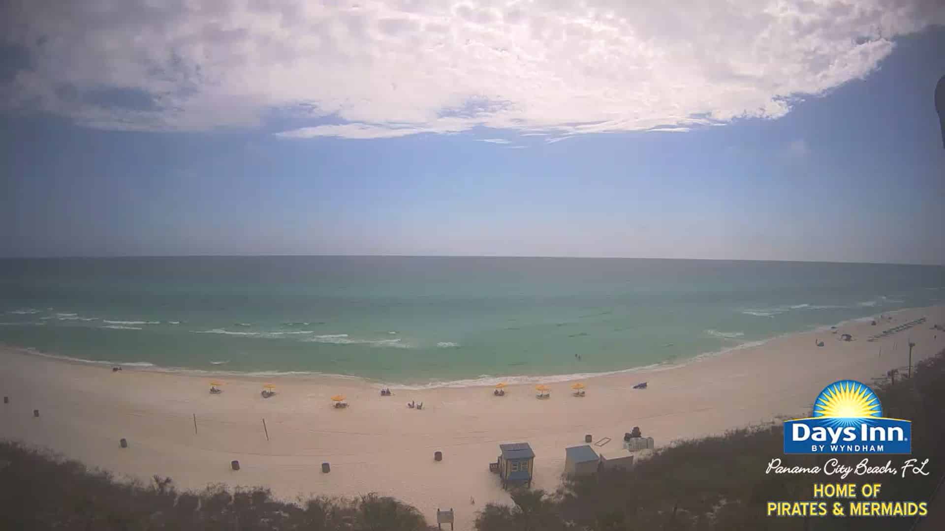
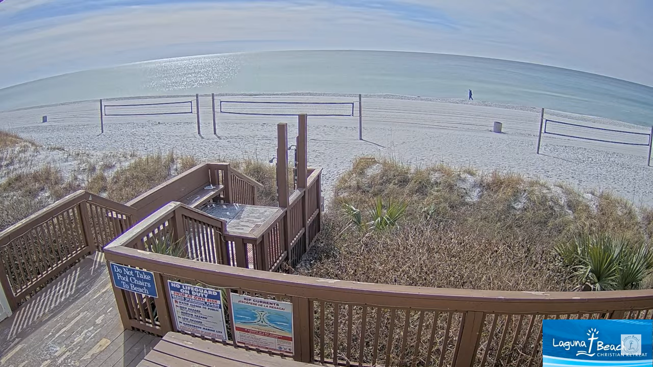
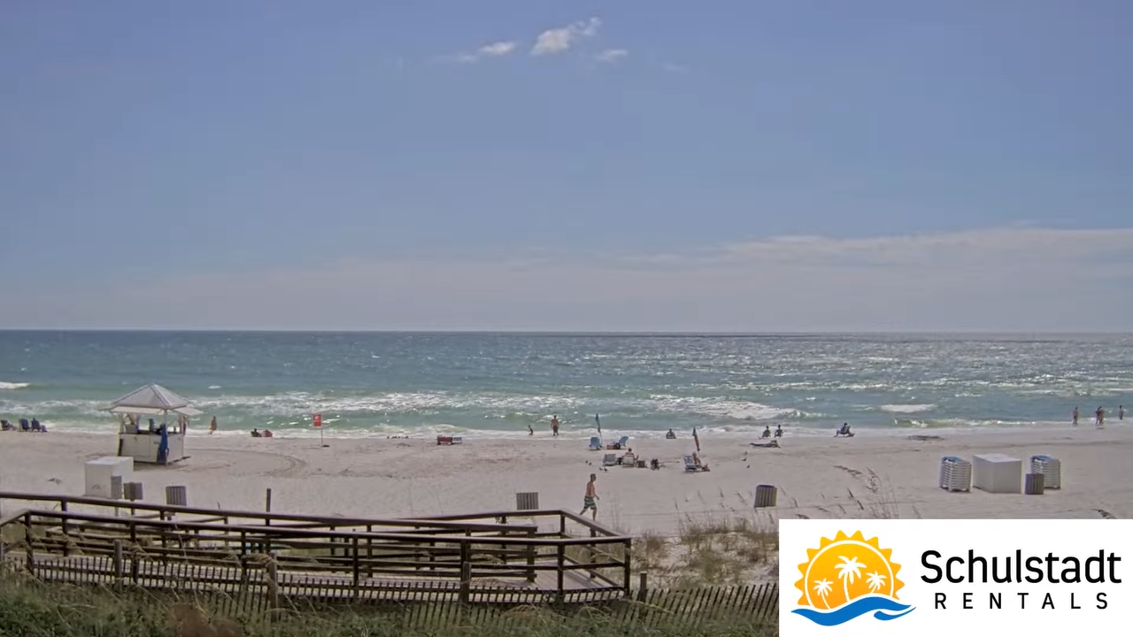
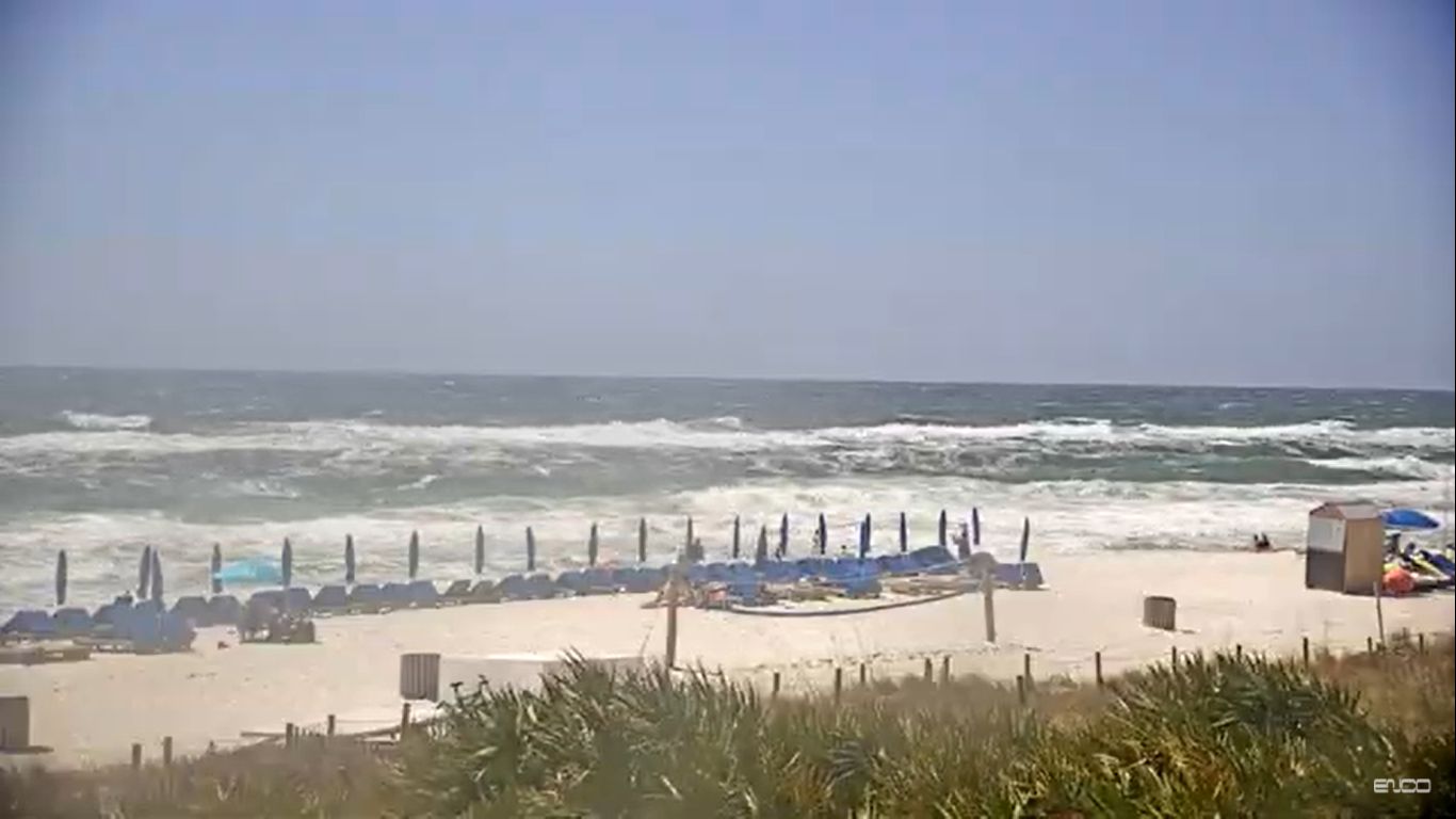
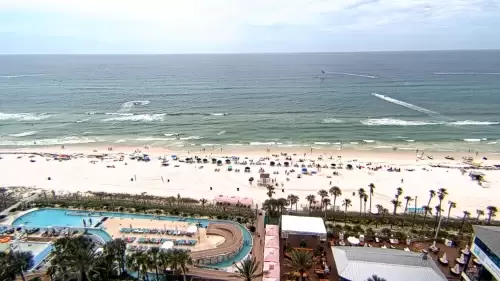
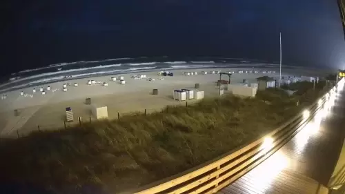
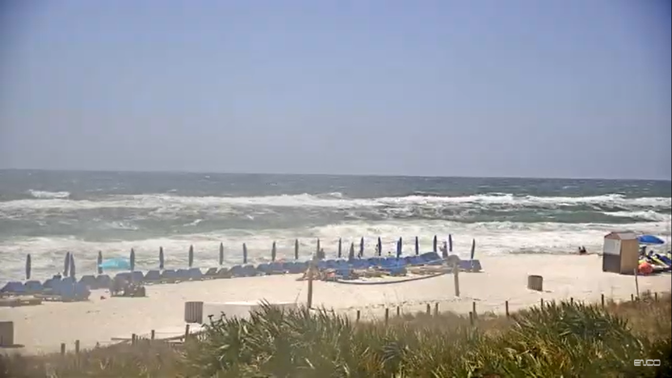
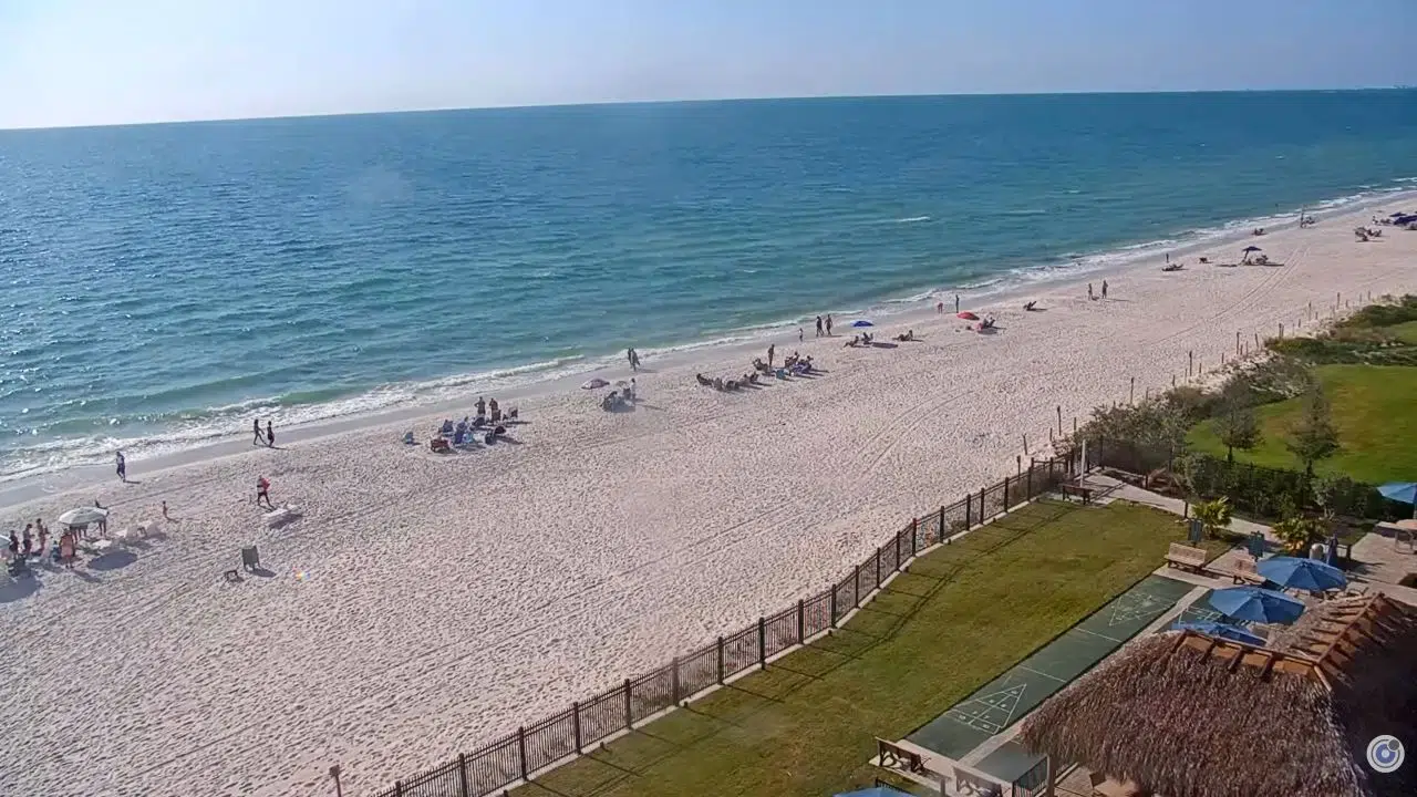
The live webcam at Shores of Panama in Panama City Beach, Florida, offers a beautiful view of the beach and ocean. People can see the soft sand, gentle waves, and bright blue sky. It feels like a warm, sunny day every time you look. Families can enjoy the beach, and kids often play in the water. This webcam is perfect for those who want to feel like they are at the beach, even if they’re far away. You can check the weather and see the fun happening at this popular spot.
Amenities at the resort
- The large outdoor pool is perfect for relaxing or having fun with family and friends.
- There are also hot tubs for unwinding after a long day at the beach.
- If you love to stay active, the gym has plenty of equipment for workouts.
- There is a poolside bar and café where you can grab snacks and drinks.
- The property also has easy beach access, so you can quickly get to the beautiful sandy shores.
- Additionally, there are shops and restaurants nearby for your convenience.
Main Attractions
One of the main attractions is the beautiful beach itself. The soft white sand and crystal blue waters are perfect for swimming, sunbathing, or building sandcastles. You can relax under an umbrella or play beach games with family and friends. Many beachside restaurants also serve tasty food and drinks, making it easy to enjoy a good meal while enjoying the view.
Another great place to visit is Pier Park, which is not too far from the Shores of Panama. This area has many stores, restaurants, and entertainment options. You can find shops selling souvenirs, clothing, and beach gear. There are also places to eat, from casual options like pizzas to sit-down restaurants. In Pier Park, you can catch a movie at the theater or enjoy live music in the open air. It’s a perfect spot for families to spend the day together.
If you want to explore nature, head to St. Andrews State Park. This park is a great spot for hiking, picnicking, and seeing wildlife. You can walk along the trails and see beautiful plants and animals. The park also has areas for fishing and kayaking. It’s an excellent way to spend time outdoors and enjoy the calming sounds of nature. With so many fun activities nearby, everyone can find something they love while staying at the Shores of Panama.
Related Live Cameras in Panama City, FL
Watch other nearby live webcams along the coast.