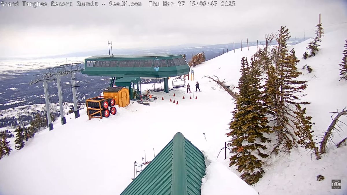
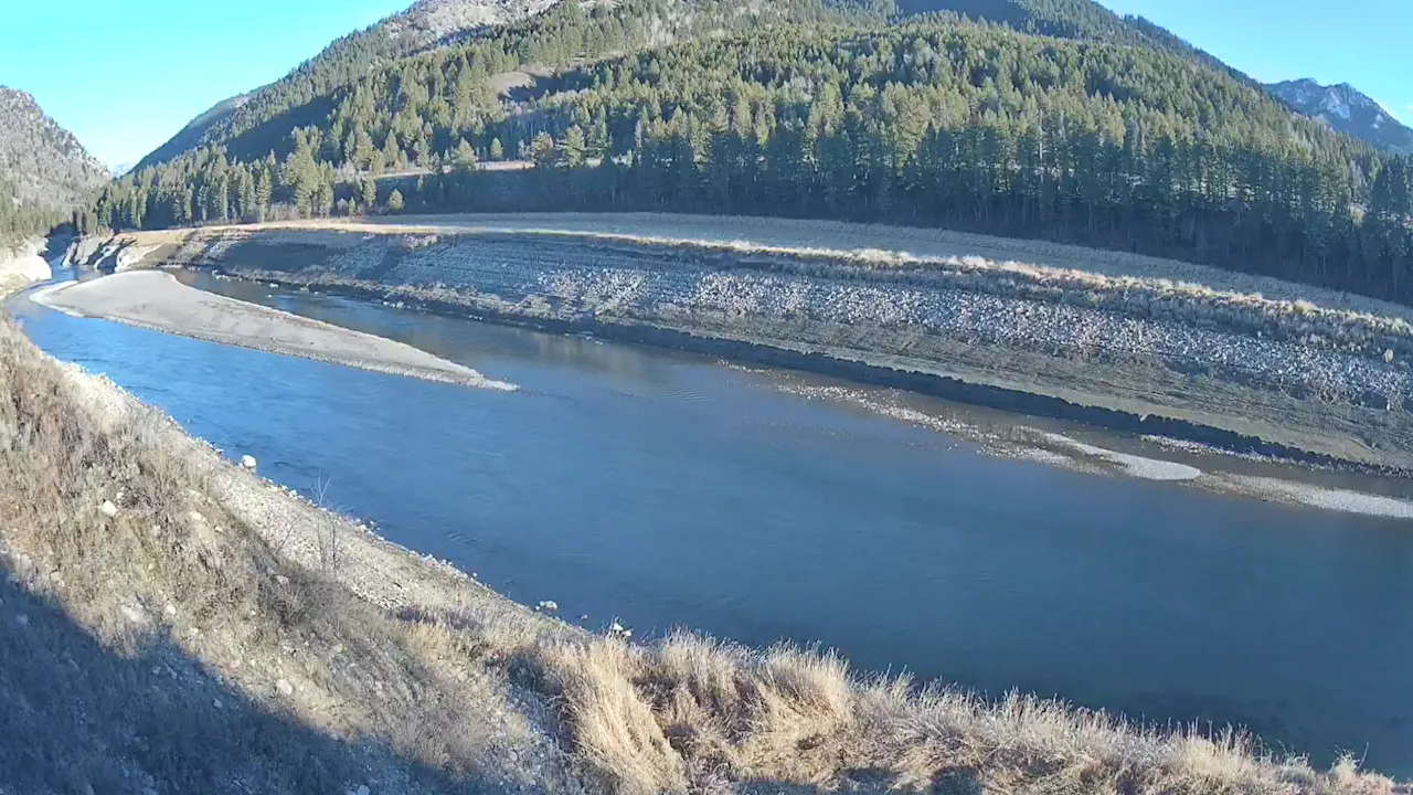
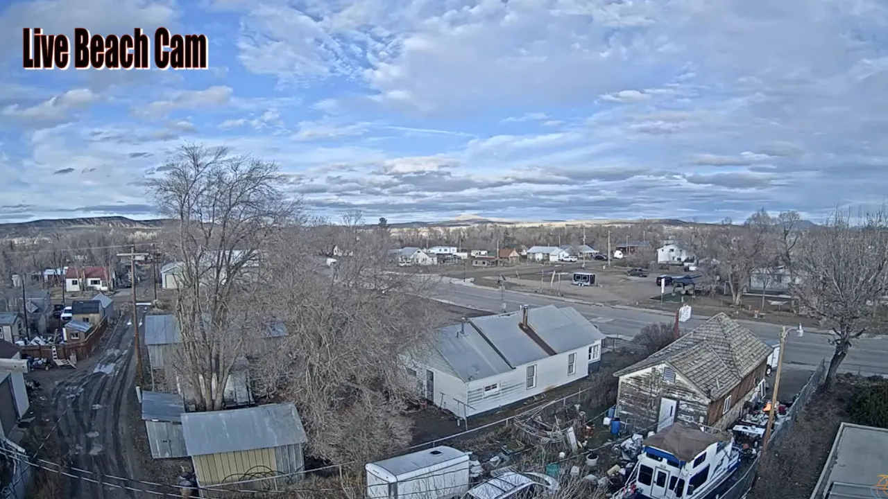
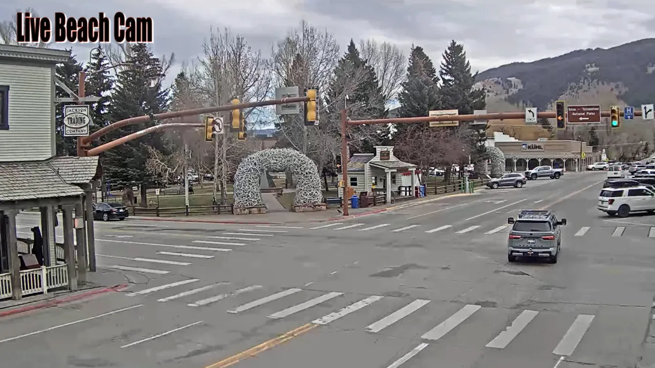
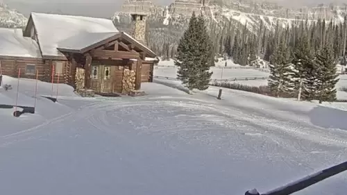
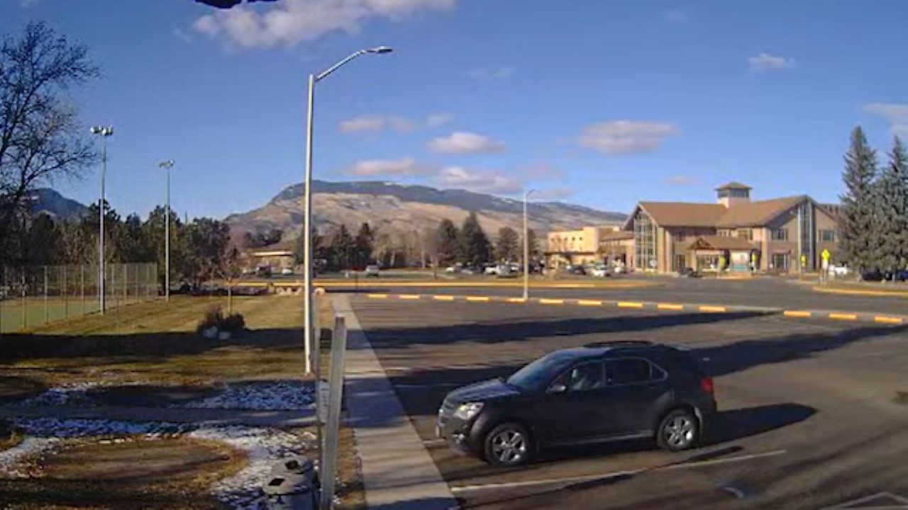
This high-definition live webcam streams around the clock from the elevated resort grounds of the Togwotee Mountain Lodge in Moran, Wyoming. Perched at a high alpine elevation deep within the Bridger-Teton National Forest, this live visual feed operates as an essential mountain checkpoint for winter snowmobilers tracking powder depths, backcountry skiers checking trail conditions, and regional motorists monitoring high-altitude mountain pass safety.
Real-Time Snowpack Accumulation and US Highway 26 Logistics
MORAN WEATHERThe elevated lens looks out over the wide mountain glades and evergreen forests that frame the upper continental divide. The live video frames track actual high-altitude weather transitions and winter road visibility in real time to take the guesswork out of remote mountain travel.
- The Backcountry Snowmobile Staging Lines: Monitor real-time powder depth, groomed trail access paths, and morning tour departures.
- The US Highway 26 Corridor: Check passing vehicle speeds, active snowplow operations, and winter road snow accumulation.
- The Blackrock Creek Wilderness Canopies: Watch for native wildlife movements, migrating moose, and seasonal mountain foliage transitions.
- The High-Alpine Mountain Horizon: Evaluate incoming sub-zero blizzard fronts, low-visibility mountain fog, and changing cloud ceilings.
Extreme Backcountry Topography and Winter Travel Monitoring
Because atmospheric patterns along the Togwotee Pass corridor can shift from clear mountain sunshine to blinding whiteout blizzards within minutes, reviewing the camera stream is an essential transit safety precaution. Outdoor enthusiasts log on to the 24/7 viewport to verify surface snowpack and wind shear before heading out onto the 600 miles of groomed trail networks, while long-haul truckers evaluate highway icing conditions before tackling the steep grade climbs.
High-Altitude Reference Grid
- Property Base Anchor: Togwotee Mountain Lodge, 27655 US-26, Moran, WY 83013
- Primary Mountain Transit Route: US Highway 26 / US Highway 287 (Togwotee Pass Corridor)
- Regional Proximity Lines: Situated high above the Jackson Hole valley floor, positioned a brief driving connection east from Grand Teton National Park, and south from the south gate entrances of Yellowstone National Park.
Practical Questions for Wyoming Backcountry Travelers
When are the best daily times to watch the lodge camera feed?
Tuning into the live camera matrix during the early morning hours provides the most actionable data for checking fresh overnight snowfall totals and tracking early morning grooming updates before hitting the trail systems.
Can you view the peaks of the Grand Teton mountain range from this lens?
No. The camera keeps its tracking frame locked strictly onto the local high-altitude lodge meadows, immediate highway travel corridors, and forest tree lines to maximize road safety and trail tracking utility. The jagged granite peaks of the Grand Tetons are situated further west across the valley floor, placing them outside the scope of this lens.
Where is vehicle trailer staging located for the snowmobile trails shown on screen?
Expansive unpaved parking lots, packed snow staging loops, and designated trailer parking bays run directly parallel to the main lodge facilities off US Highway 26. Checking the live high-angle stream helps winter sports enthusiasts analyze parking lot space and snow accumulation depths before driving heavy truck rigs up the mountain pass corridors.