





British Weather Mapping, Island Shipping Traffic, and Regional Environmental Feeds
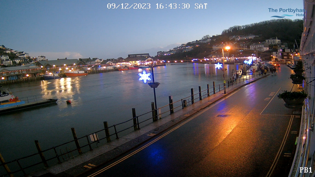
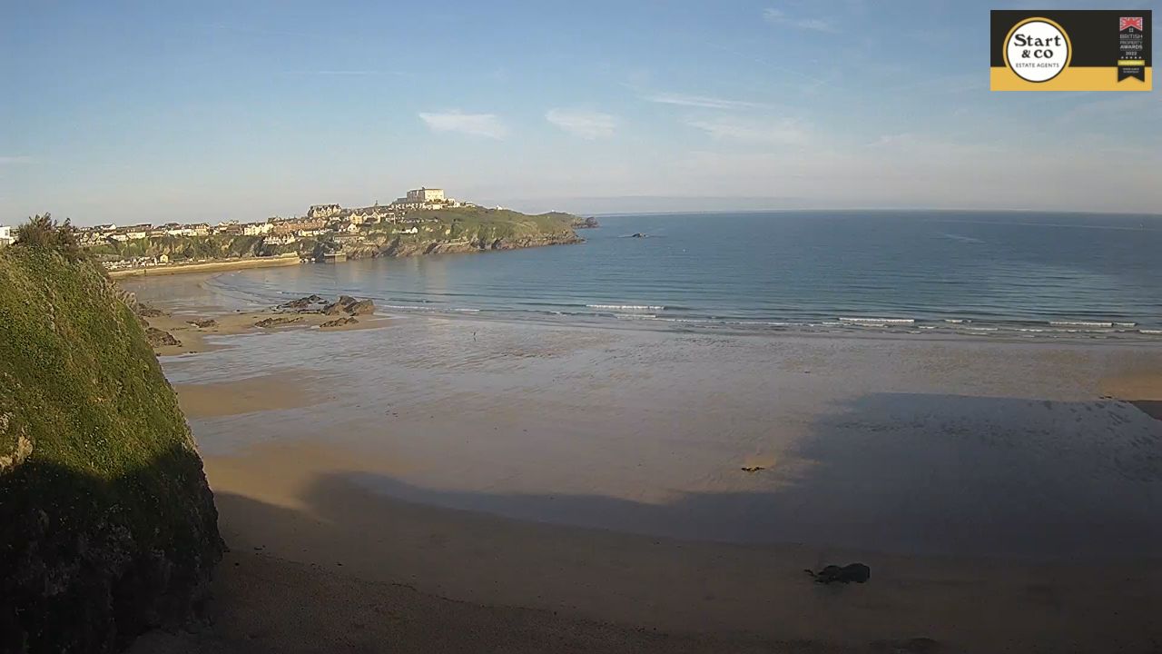
Embark on a real-time visual journey across the diverse terrain of the British Isles. The UK webcams hub network broadcasts an expansive, high-definition grid of continuous live feeds tracking the geographical pulse of the United Kingdom. Strategically curated from major metropolitan centers, historic mountain peaks, and rugged maritime channels, these streaming lenses monitor active maritime vessel paths along the English Channel, track shifting Atlantic storm depressions, and check tourist crowd patterns from the Scottish Highlands down to the South West coast.
Rather than serving as a thin, unorganized link index, this country-wide portal functions as an operational geospatial dashboard for maritime ship spotters tracking transcontinental cargo transit, micro-climate weather researchers checking high-altitude snowfall, and global travelers analyzing real-time road and city conditions before charting their itineraries.
For nationwide meteorological warnings, tidal charts, and public land access maps, consult the official Met Office Weather Warning Portal.
United Kingdom Territorial Observation Matrix
From the granite cliffs of Cornwall to the dramatic glens of Aberdeenshire, the British landscape is shaped by volatile maritime weather fronts and distinct localized ecosystems. The master camera network divides the island into dedicated regional tracking sectors:
| Island Observation Territory | Dominant Environmental Features | Active On-Camera Conditions Tracked |
|---|---|---|
| English Coastal Harbours | Low-slung estuaries, historic stone quays | Tidal channel changes, holiday cruiser traffic, and marine wind chop. |
| Scottish Highlands Ring | Alpine glens, deep lochs, stone estates | Mountain winter snow accumulation, lake visibility, and wildlife migration corridors. |
| Metropolitan High Grids | Victorian brick plazas, transit centers | Pedestrian foot traffic densities, central roadway bottlenecks, and festival setups. |
Notable Geographic Regions To Explore Virtually
If tracking the rolling sea swells and historic town squares on the live British feeds has you ready to pack a coat and book an overland journey across the UK, prioritize these highly celebrated regions for your itinerary:
- Navigate the Historic Norfolk Broads: Explore a massive, protected network of lock-free navigable rivers and shallow lakes, recognized as a premier destination for traditional holiday day boat cruisers.
- Hike the Peaks of Eryri (Snowdonia): Trek the rugged glacial pathways and dramatic slate-roofed villages of North Wales, where steep mountain ranges drop straight down into public sandy bays.
- Stroll the Coastal Jurassic Coast: Discover England’s premier UNESCO World Heritage Site in Devon and Dorset, famous for its striking red sandstone cliffs, natural stone arches, and deep fossil-hunting beaches.
- Tour the Grand Royal Deeside: Drive through the pristine pine forests and sweeping heather valleys of Aberdeenshire to visit the expansive grounds and grand baronial architecture of historic royal estates.
Spatial Data & Central Mapping Center
Our primary national observation network anchors its country-wide geospatial directory at central coordinates 55.3781° N, 3.4360° W, spanning the internal boundaries of England, Scotland, Wales, and Northern Ireland. Maritime professionals, outdoor hikers, and cross-country commuters utilizing this real-time map can trace navigation loops passing between active commercial shipping docks and protected national parklands, position overland travel routes right beneath nearby metropolitan transit hubs, and chart scenic holiday driving tours extending across the interconnected highway networks of the British mainland.
Frequently Asked Questions
Where can I securely watch the free UK live webcams?
The high-definition, live environmental video streams are completely free to view through regional British municipal traffic directories, local maritime tracking nodes, and independent coastal tourism boards without any login walls.
Why does the weather look so different across the camera network?
The United Kingdom features a highly volatile temperate maritime climate heavily influenced by the North Atlantic Current. This creates massive structural weather variations, where a camera in sunny Devon can show bright blue skies while a Scottish Highland feed simultaneously records heavy freezing rain.
Are public footpaths and beaches in the UK free to access?
Yes. Under historic British land laws, the vast majority of coastal shorelines, tidal beaches, and designated inland walking trails are legally protected as public rights of way, allowing free pedestrian access year-round.
What is the best public transit method for traveling between regional camera locations?
The British mainland is highly connected via a comprehensive national rail network, allowing travelers to quickly and efficiently transition from central city passenger hubs directly to rural coastal and mountain villages in just a few hours.