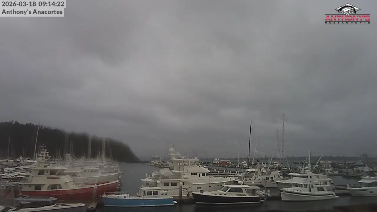
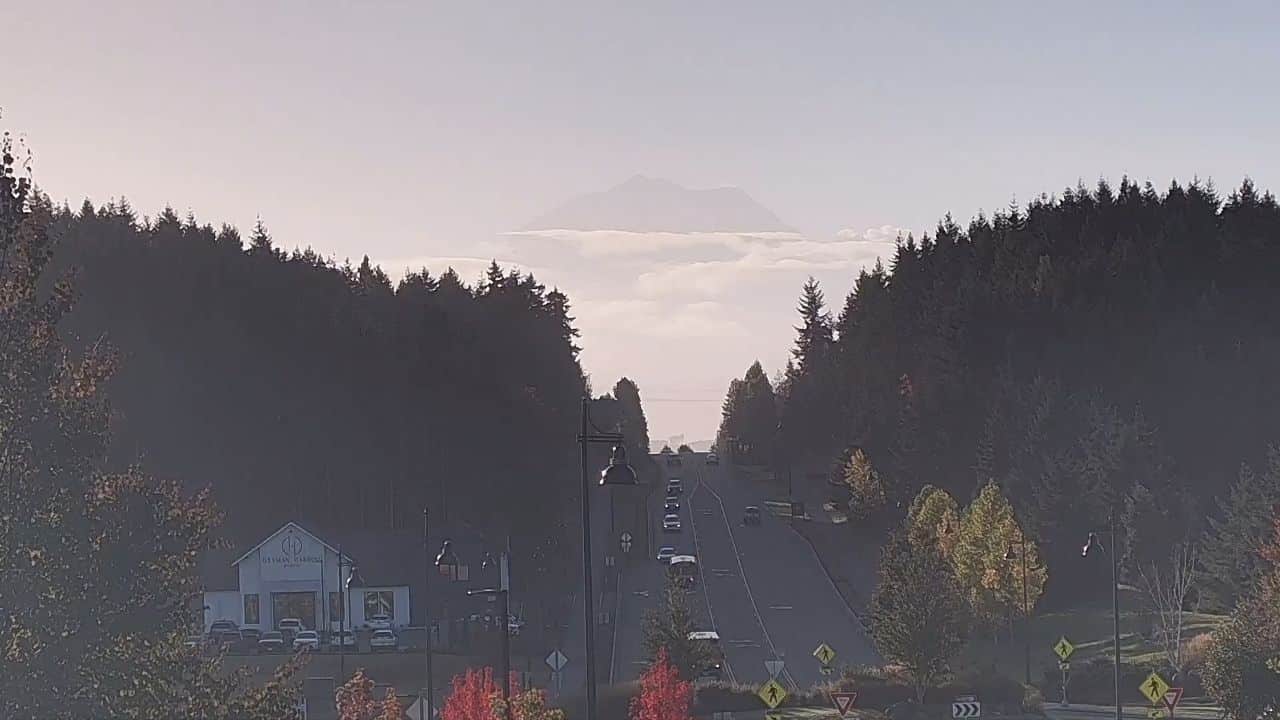
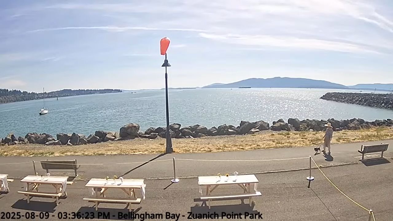
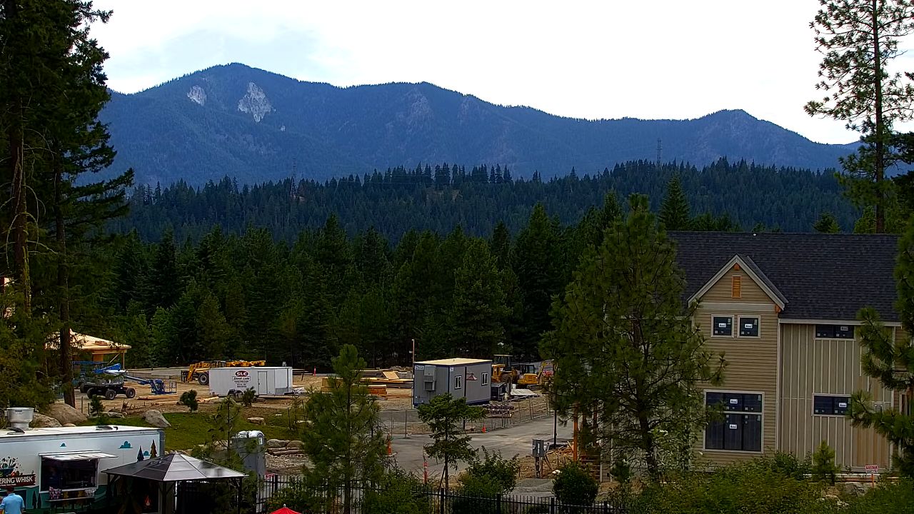
Live HD Webcam of the The Puget Sound
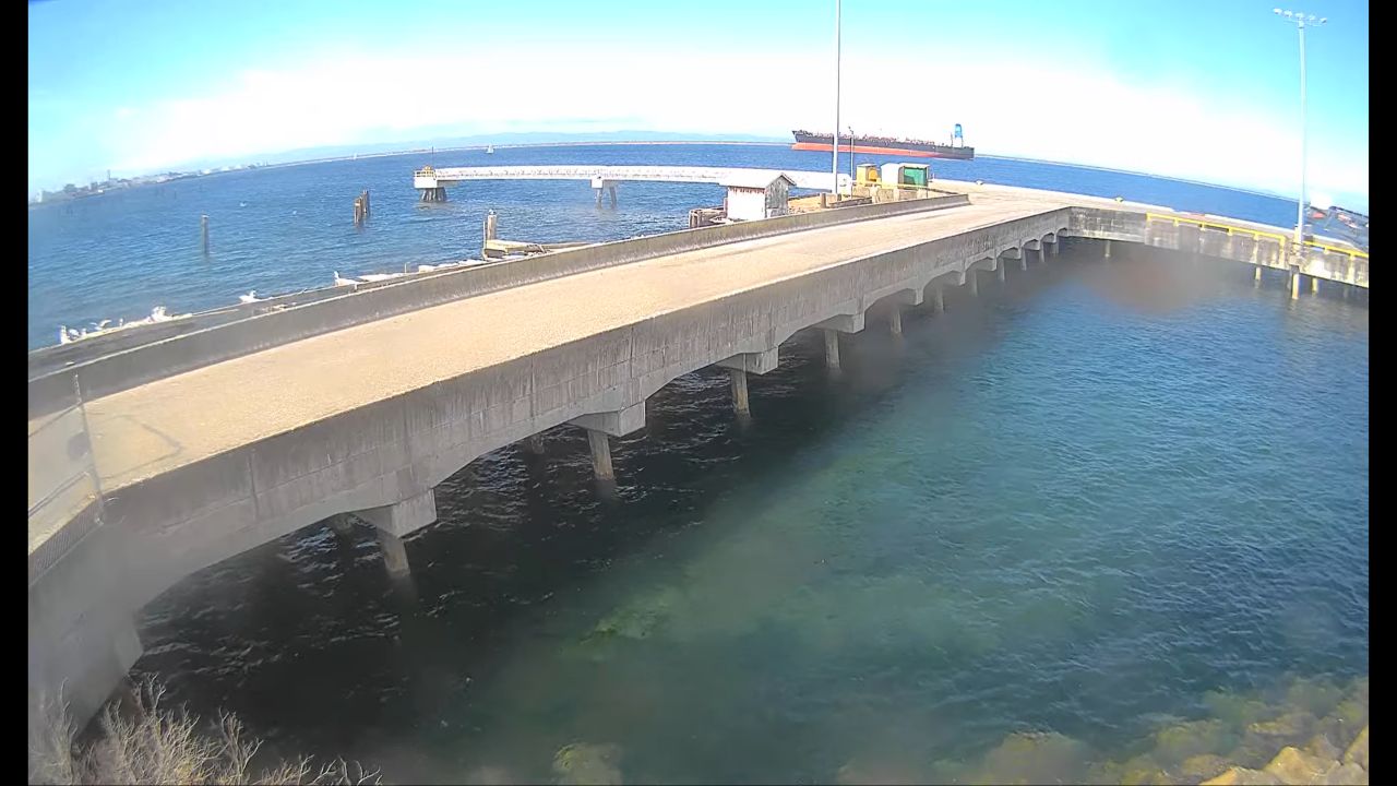
Enjoy this live streaming webcam of Hood Canal located in Union, Washington. The Hood Canal is a fjord (long, narrow inlet of the sea) forming one of the four main basins of Puget Sound, and located in Mason County, Washington. Fish lovers flock here because there is 5,500 feet of saltwater shoreline on Hood Canal and 5,400 feet of freshwater shoreline on either side of the Dosewallips River. All camp areas are grassy and located in scenic, rustic settings.
How deep is Hood Canal
Hood Canal is a stunning fjord-like body of water renowned for its remarkable depth, width, and length. Spanning approximately 60 miles, the canal showcases a variety of scenic landscapes, bordered by lush forests and majestic mountains. Its depths reach up to 1,200 feet in some areas, creating a serene yet captivating underwater world. The canal’s average width varies, but it stretches around 1 to 3 miles across, making it a perfect spot for recreational activities like kayaking and fishing.
Things To Do in Union
Another highlight of Union is the impressive Olympic National Park, located just a short drive away. This park boasts breathtaking landscapes, with towering mountains, dense rainforests, and scenic coastline. Hiking trails range from easy walks to more challenging routes, catering to visitors of all skill levels. The enchanting sounds of nature and the diverse plant and animal life make every hike an adventure. After a day of exploring the park, visitors can unwind and admire the stunning sunsets over the rugged Pacific coast.
For those seeking a taste of local culture, Union offers several delightful shops and restaurants. The town has a warm and welcoming atmosphere, inviting visitors to explore its unique boutiques and galleries. Local artisans showcase their crafts, providing perfect souvenirs to remember your trip. Dining options include fresh seafood caught from the nearby waters, allowing you to savor the flavors of the region. Whether you’re enjoying a meal or browsing local shops, Union’s charm and friendly community make it a memorable destination.