


US Mexico Border
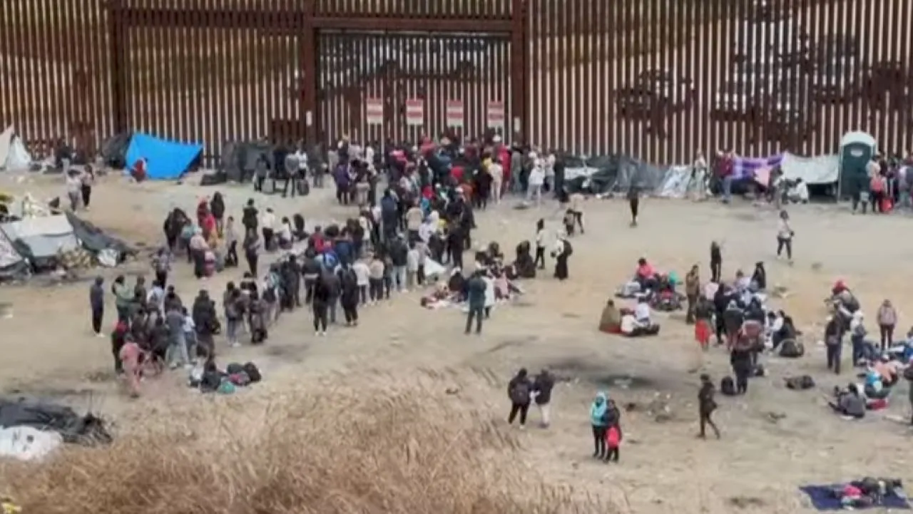
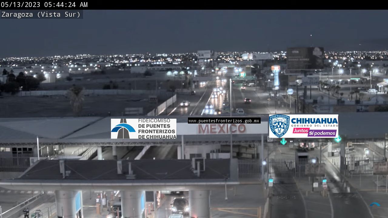
US Mexico Border has been a very divisive conversation both politically and socially. U.S. Customs and Border Protection will make as many as 9,000 arrests per day during peak season for illegal migrant crossings. Also, since the COVID-19 outbreak, most migrant encounters have resulted in expulsion from the U.S., rather than apprehension within the country.
The boundary between the United States and Mexico, commonly referred to as the US-Mexico border, serves as a significant geopolitical demarcation that stretches approximately 1,954 miles. This extensive border traverses a diverse range of landscapes, including deserts, rivers, and urban areas, reflecting the varied geography of both nations. The border is not only a physical separation but also a cultural and economic interface where two distinct societies interact, influencing trade, migration, and bilateral relations.
The US-Mexico border is characterized by a complex system of checkpoints, barriers, and surveillance technologies designed to manage the flow of people and goods between the two countries. This border has been the focal point of numerous discussions regarding immigration policy, security measures, and humanitarian concerns. The presence of border patrol agents and the implementation of various enforcement strategies highlight the ongoing challenges faced by both nations in addressing issues related to illegal immigration and drug trafficking.