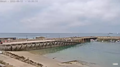
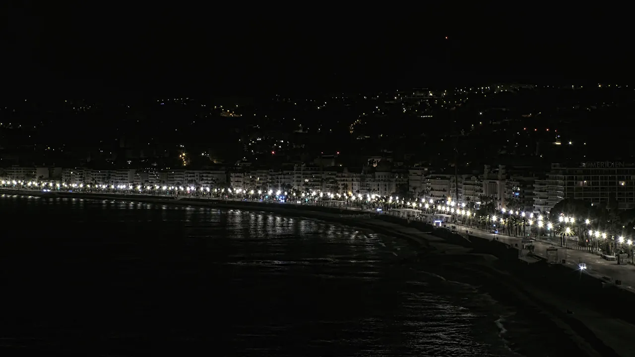
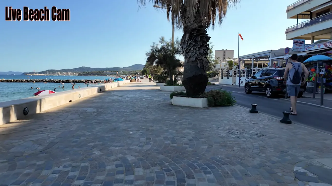
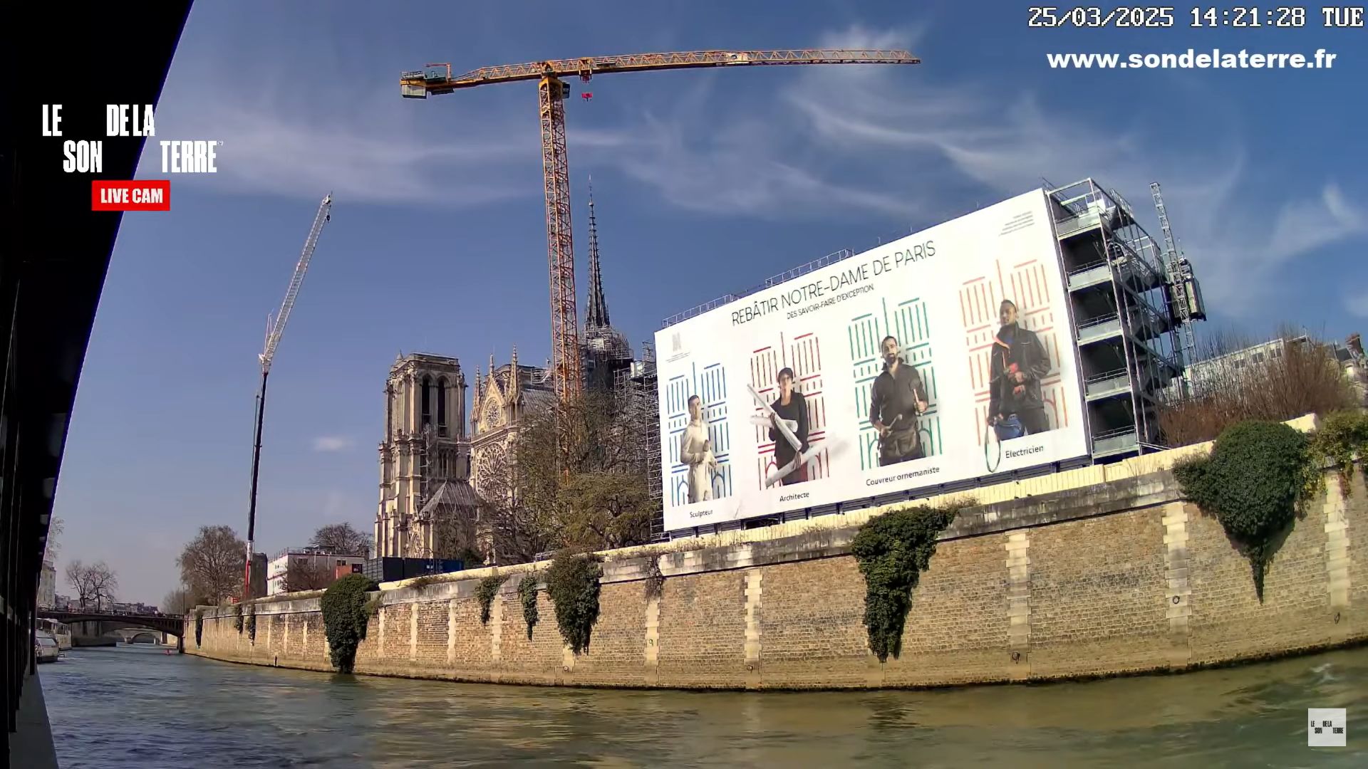
Sweeping across the deep-water maritime corridors of the rugged Corsican coastline, this real-time visual viewport delivers an unbroken broadcast from the port city of Ajaccio, France. Positioned along the bustling Gulf of Ajaccio where international cruise shipping networks interface with regional island transit, this weather-hardened lens operates as an essential coastal checkpoint. Mediterranean ferry pilots analyze harbor entry current pooling, regional logistics handlers track commercial vehicle staging clearance off the main docks, and travelers check real-time sea conditions and changing French island weather patterns.
Cruise Ship Terminals and Tino Rossi Promenade Logistics
AJACCIO WEATHERThe high-angle perspective frames the active marine basins and waterfront walkways where the imperial city’s rich naval history meets daily commercial logistics. Shifting yacht mooring lines, public promenade pedestrian density, and ferry gate staging traffic update continuously to simplify travel planning throughout southwestern Corsica.
- The Tino Rossi Promenade Walkways: Watch real-time pedestrian sidewalk crowd packing, morning runner velocities, and outdoor cafe line assembly.
- The Main Harbor Vessel Lanes: Monitor international cruise ship arrivals, Corsica-mainland vehicle ferry alignments, and small commercial fishing craft paths.
- The Historic Citadel Overlooks: Check public security boundaries surrounding the 16th-century fortress and view nearshore rock jetty wave surges.
- The Gulf of Ajaccio Sky Horizon: Evaluate incoming maritime rain bands, morning mountain fog clearing timelines over the peaks, and ambient sunset daylight depth.
South European Island Topography and Corsican Transit Info
Because atmospheric patterns along the windswept bays of the Mediterranean Sea can transition rapidly—bringing strong marine mistral winds or sudden downpours that impact small watercraft navigation and shoreline trail traction—reviewing the harbor variables beforehand removes transit guesswork. Sailors log on to the 24/7 viewport to verify water surface wind chop vectors before leaving the protective stone seawalls, while road trippers check local visibility before traveling the steep mountain passes toward the interior wilderness parks.
Maritime Infrastructure Reference Grid
- Exact Map Coordinates: 41°55’32.4″N 8°44’21.5″E
- Primary Waterway Access: Gulf of Ajaccio / Ligurian Sea Channel (Mediterranean Transport Matrix)
- Geographic Axis Anchor: Port Tino Rossi Marina, Quai L’Herminier Corridor, Ajaccio, Corsica, 20000, France
- Regional Transit Lines: Situated on the leeward perimeter of the historic old town core, positioned minutes from the Maison Bonaparte museum landmarks, a brief driving connection from the Ajaccio Napoleon Bonaparte Airport (AJA) runways, and linking north toward the Sanguinaires Islands reefs.
Practical Logistical Inquiries for Corsica Travelers
When are the absolute best daily times to watch the Ajaccio harbor camera feed?
Tuning into the live camera matrix during the early morning hours provides the clearest horizontal lighting for identifying water contours and observing commercial mega-ferries arriving from Marseille and Nice. Monitoring the stream during late afternoon slots offers front-row views of dramatic Mediterranean sunsets falling behind the distant western headlands.
Can you view the interior display rooms of the Maison Bonaparte from this lens?
No. To maintain strict historical data integrity and public transit tracking utility, the camera keeps its tracking frame locked entirely onto the exterior public shipping channels, marina slips, and seaside promenades. The ancestral birthplace rooms, private family museum exhibits, and indoor collection galleries of Napoleon Bonaparte are located blocks inland within the tightly packed brick street corridors of the old town, placing them out of view.
Where is vehicle public staging located near the waterfront area shown on screen?
Paid municipal surface lots and regulated dockside parking reservoirs run directly parallel to Quai L’Herminier and the main ferry terminal staging lines within brief walking distance of the docks. Checking the live high-angle stream helps local commuters and arriving vehicle passengers analyze general border line congestion and find open parking spots before navigating the crowded downtown boulevard loops.