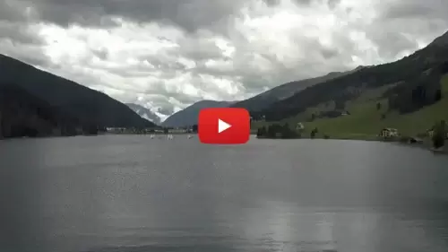
Live Davos Webcam: Alpine Panoramas & Swiss Ski Resort Weather


Track the changing elements and snowpack conditions across the Swiss Alps in real time! This live Davos webcam delivers continuous, high-definition streaming footage overlooking one of the most celebrated high-altitude mountain resorts in the canton of Graubünden, Switzerland. Serving as an essential digital dashboard for winter sports enthusiasts tracking fresh powder, backcountry hikers evaluating trail visibility, and alpine commuters checking mountain pass road safety, this 24/7 portal offers an unfiltered look at active ski slopes, valley weather, and changing alpine mists.

High-Altitude Winters & Year-Round Alpine Culture

Nestled deep within the picturesque Landwasser Valley, Davos stands as one of the highest towns in Europe, sitting proudly at approximately 1,560 meters above sea level. Looking through our active mountain camera matrix, viewers can monitor the sweeping slopes and premium terrain that draw outdoor adventurers from across the globe. The local tracking grid spans several premier mountain sectors, connecting downhill runs to cross-country networks.

Life in this high-altitude haven moves to a crisp, outdoor-focused rhythm. Free from repetitive automated data loops, the view frames majestic granite peaks, modern cable car lines, and traditional timber-framed chalets. While the town is globally recognized for hosting international economic summits, its true heart belongs to the mountains. It serves as an essential visual check for skiers analyzing lift line queues before hitting the powder, winter sports fans verifying fresh grooming, and road spotters checking ice conditions along the high mountain passes.

Key Alpine Sectors & Visual Anchors to Spot On Screen

As you evaluate the shifting alpine light and real-time snow accumulation across the resort, keep your eyes focused on these essential regional highlights:

  • The Parsenn & Jakobshorn Slopes: High-altitude ski zones tracking active chairlifts, skier traffic, and real-time powder depth baselines.
  • The Landwasser Valley Floor: A wide-angle view of the central town layout, tracking street-level snow accumulation and local village traffic.
  • The Flüela Pass Approaches: A critical high-mountain driving artery, allowing viewers to analyze winter traction and regional transit safety.
  • Lake Davos Shorelines: The pristine alpine waters located at the northern edge of town, tracking seasonal ice-in cycles and summer watersports.

Map, Precise GPS Coordinates & Graubünden Navigation

The primary tracking lenses are securely positioned on elevated resort structures, providing an unobstructed, long-range view facing deep into the valleys and mountain ranges.

  • Exact Central Town Coordinates: 46°48’04.2″N 9°49’43.5″E (46.8011° N, 9.8287° E)
  • Primary Regional Transport Axis: Route 28 (Prättigau Highway Corridor)
  • Central Basecamp Anchor: Promenade 67, 7270 Davos Platz, Switzerland

Setting this precise coordinate anchor drops your digital map layout directly into the heart of eastern Switzerland’s premier ski territory, within easy walking distance of the main train stations, minutes from the valley lift stations, and a scenic alpine drive from the city of Chur.


Reading the Swiss Sky: Alpine Seasons & Peak Watching Hours

DAVOS WEATHER
View the full Davos forecast at Snow-Forecast.com

Davos experiences an intense, true four-season alpine climate, transitioning from lush, sun-drenched summer hiking windows to massive, deep-powder winter storm systems.

  • The Morning Powder Scout: Tune into the mountain feeds daily between 7:30 AM and 9:30 AM Central European Time (CET) to analyze real-time slope visibility, check overnight snowfall totals, and monitor early morning cable car operations.
  • The Golden Alpine Sunset: Check back on the camera network during late winter and spring afternoons to watch the low winter sun dip behind the high alpine ridges, casting dramatic golden hues and long shadows across the snowfields.

Frequently Asked Questions

Why do skiers and travelers use this live Davos webcam?

Because high-altitude alpine weather, mountain mists, and heavy winter blizzards can roll over the Graubünden peaks within minutes, skiers, local commuters, and hikers use this live stream to instantly verify actual slope visibility, check road traction, and monitor snowfall before heading out.

Which ski areas are visible across the Davos tracking network?

The regional network monitors five primary surrounding ski mountains: Parsenn, Jakobshorn, Rinerhorn, Pischa, and Madrisa, giving viewers a comprehensive visual overview of the entire valley’s winter sports conditions.

Is the Davos mountain camera active during the summer?

Yes. The entire alpine camera matrix streams 24/7 year-round, serving as an excellent visual resource for summer mountain bikers mapping out singletrack trails, hikers checking cloud clearances on the peaks, and travelers monitoring regional weather patterns.