Real-Time Gran Canaria Sand Dune Winds, Beach Surf Swells, & Canary Islands Weather
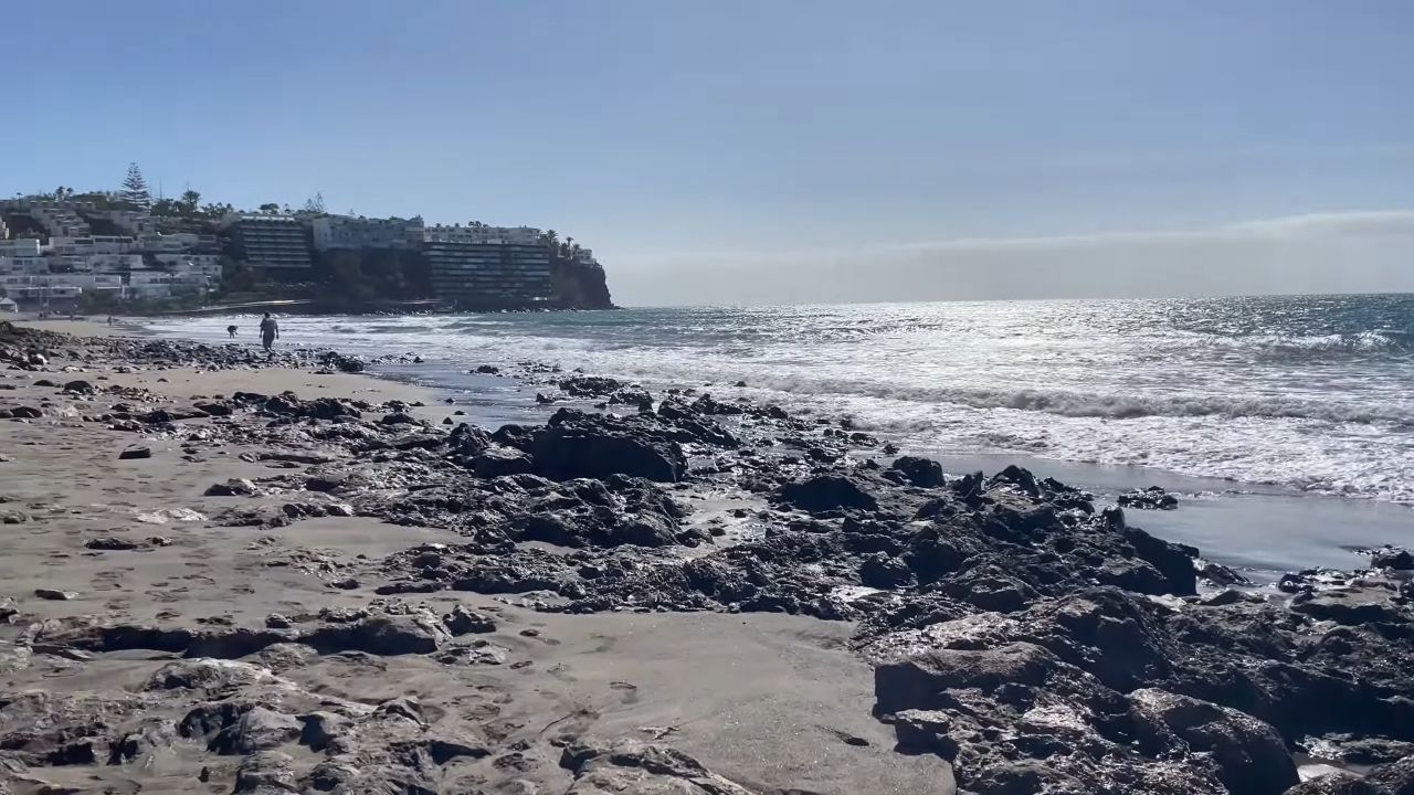
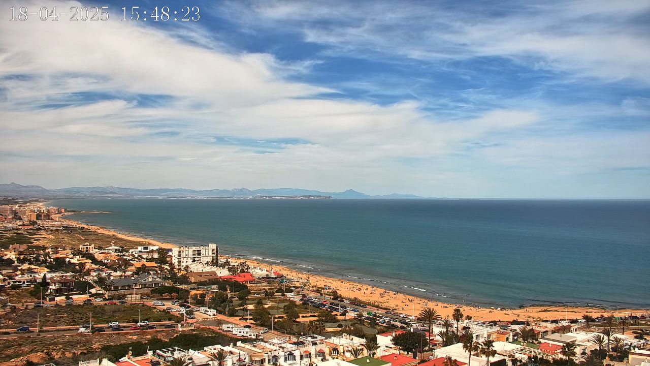
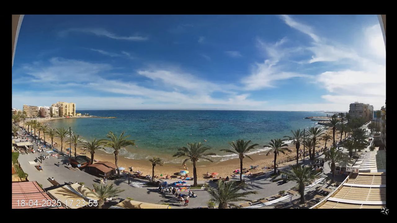
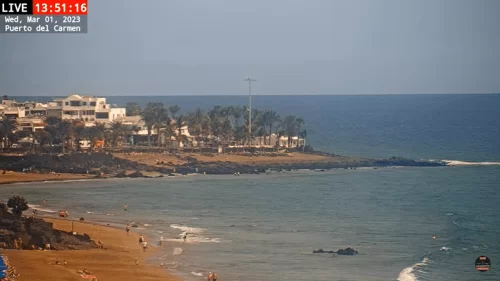
Monitor the magnificent desert-meets-ocean landscape of the Canary Islands in real time with our 24/7 high-definition camera network. This active streaming portal provides a direct digital window broadcasting from the Santa Mónica Suites Hotel overlooking Playa de Maspalomas in San Bartolomé de Tirajana, Gran Canaria, Spain (ES). Positioned right at the convergence zone of the dunes and the Atlantic shore, this specialized marine camera delivers instant visual updates of shifting sand drift vectors, coastal wind velocities, and beachfront pedestrian traffic.
Beachgoers planning a trek through the dunes, windsurfers checking offshore wind vectors, and international travelers evaluating immediate weather visibility across the southern coastline utilize this portal to bypass delayed forecasting applications and verify immediate shoreline conditions instantly.
Tracking Maspalomas Dune Winds & Southern Atlantic Weather
MASPALOMAS WEATHERBecause the southern coast of Gran Canaria is exposed to powerful Saharan trade winds and rapid Atlantic maritime shifts, localized conditions change quickly. Use this live streaming utility to track real-world parameters throughout the changing seasons:
- Maspalomas Sand Dunes Drift & Wind Vectors: Perfect for evaluating microclimate wind patterns and sand movement across the protected dunes nature reserve.
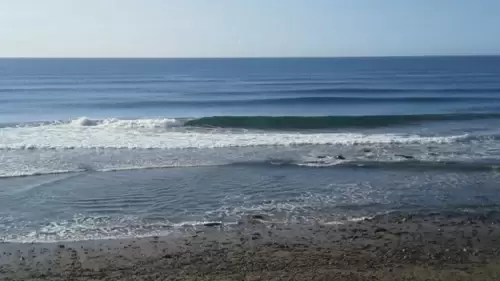
- Playa de Maspalomas Surf & Tidal Swells: Monitor breaking wave heights, incoming high-tide borders, and water safety vectors along the shallow coastal shelves.
- Playa del Inglés Cross-Border Visibility: Ideal for checking atmospheric clarity, afternoon heat haze levels, and cloud clearances stretching across the adjacent resort beaches.
Travel Guide to the Protected Maspalomas Dunes District
Celebrated globally as a unique migratory ecosystem and natural paradise, the Maspalomas oasis blends dramatic geological features with vibrant holiday destinations.
Tuning into our active Spain streaming node allows you to coordinate your travel itinerary across top regional landmarks surrounding the resort grounds:
- The Maspalomas Sand Dunes Nature Reserve: The camera frames the immediate boundary of this protected 400-hectare mini-desert, tracking its shifting golden sand ridges.
- The Historic Maspalomas Lighthouse (Faro de Maspalomas): Trace the coastline southwest toward the iconic 1890 stone sentinel tower that anchors the vibrant beachfront promenade blocks.
- La Charca Lagoon Eco-Reserve: Monitor early weather parameters surrounding the adjacent saltwater palm grove oasis, which acts as a crucial resting station for rare migratory birds.
Map & Precise Southern Gran Canaria Coordinates
Our regional Canary Islands maritime directory anchors this active live stream player at exact geographic coordinates 27.7510° N, 15.5725° W at the Santa Mónica Suites Hotel on Paseo Costa Canaria in Maspalomas, Spain. Coastal vacationers, windsurfers, and regional weather spotters utilizing this digital footprint can easily trace coastal driving paths running off the GC-1 highway, locate public beach parking zones, and plan walking routes intersecting the scenic oceanfront boardwalk networks.
Frequently Asked Questions
Where exactly is this Maspalomas live camera physically mounted?
The high-definition camera stream is mounted securely at the Santa Mónica Suites Hotel facility, capturing an elevated, direct panoramic view facing across the sand dunes nature reserve and the sea.
Can I use this webcam to verify active windsurfing and surfing conditions?
Yes. The camera provides an excellent real-time baseline to evaluate if heavy western crosswinds are generating the island’s famous long right-hand breaking waves near the beach curve.
Is it free to walk through the Maspalomas Sand Dunes shown on screen?
Yes. Access to the beach paths and designated walking trails crossing the dunes area is completely free to the public, though visitors are strictly required to stick to authorized paths to protect the ecosystem.
What is the closest major transportation hub to the resort area?
The southern coastline is situated approximately 33 kilometers southwest of the Gran Canaria Airport (LPA), making it easily accessible via rapid highway transit links or public express buses.