Live Webcam on Bruul St Mechelen
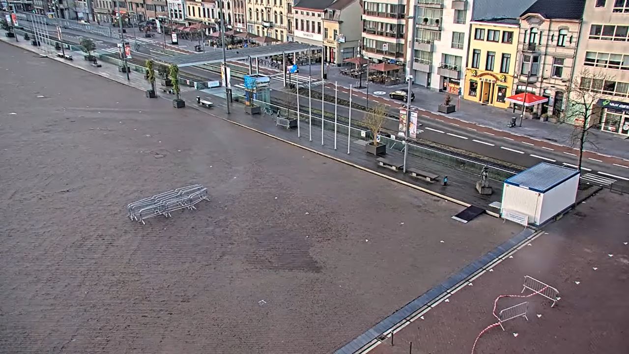
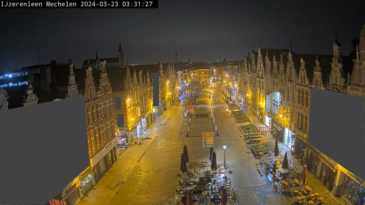
Live webcam on the popular Bruul Street in the city of Mechelen in the province of Antwerp in the Flemish Region of Belgium. The Bruul attracts many locals and visitors due to it being Mechelen’s premier shopping district. Along the sides of the street are high-street chains and charming boutiques.
Mechelen is amongst the top of western Europe’s principal vegetable markets. It also holds significance due to its railway repair shops. Its industries include brewing, the manufacture of furniture and textiles, and various handicrafts, such as tapestry making. The city located on the river Dyle in the center of Flanders.
The webcam serves as a valuable resource for those interested in exploring Mechelen from afar, allowing individuals to experience the charm of Bruul Street without being physically present.
It showcases the dynamic nature of the street, where shops, cafes, and local attractions contribute to a lively scene. This visual feed not only highlights the architectural features of the buildings but also reflects the cultural vibrancy that defines this part of Belgium.
Places to see
This street is characterized by its unique blend of architectural styles, showcasing both modern and traditional designs that reflect the city’s evolution over the centuries. As one strolls along Bruul Street, one can appreciate the intricate details of the buildings, which often feature ornate facades and charming balconies, contributing to the street’s picturesque ambiance.
Known for its rich history and cultural heritage, Antwerp boasts a stunning array of architectural marvels, including the magnificent Cathedral of Our Lady, which is a UNESCO World Heritage site.
The city is also home to the impressive Antwerp Central Station, often regarded as one of the most beautiful train stations in the world. Strolling through the cobblestone streets of the historic center, visitors can discover charming squares, boutique shops, and a variety of cafes that reflect the city’s lively atmosphere.
The Royal Museum of Fine Arts showcases an extensive collection of works by renowned artists, including Rubens, who was born in the city. For those interested in contemporary art, the Museum aan de Stroom (MAS) offers a unique perspective on the city’s maritime history and cultural evolution.
Furthermore, Antwerp is recognized as a fashion capital, with the famous Antwerp Six designers influencing global trends. Visitors can explore the fashion district, where they will find a mix of high-end boutiques and avant-garde shops.
The vibrant food scene includes bustling markets, such as the famous Antwerp Market Square, where local vendors offer fresh produce and artisanal products.