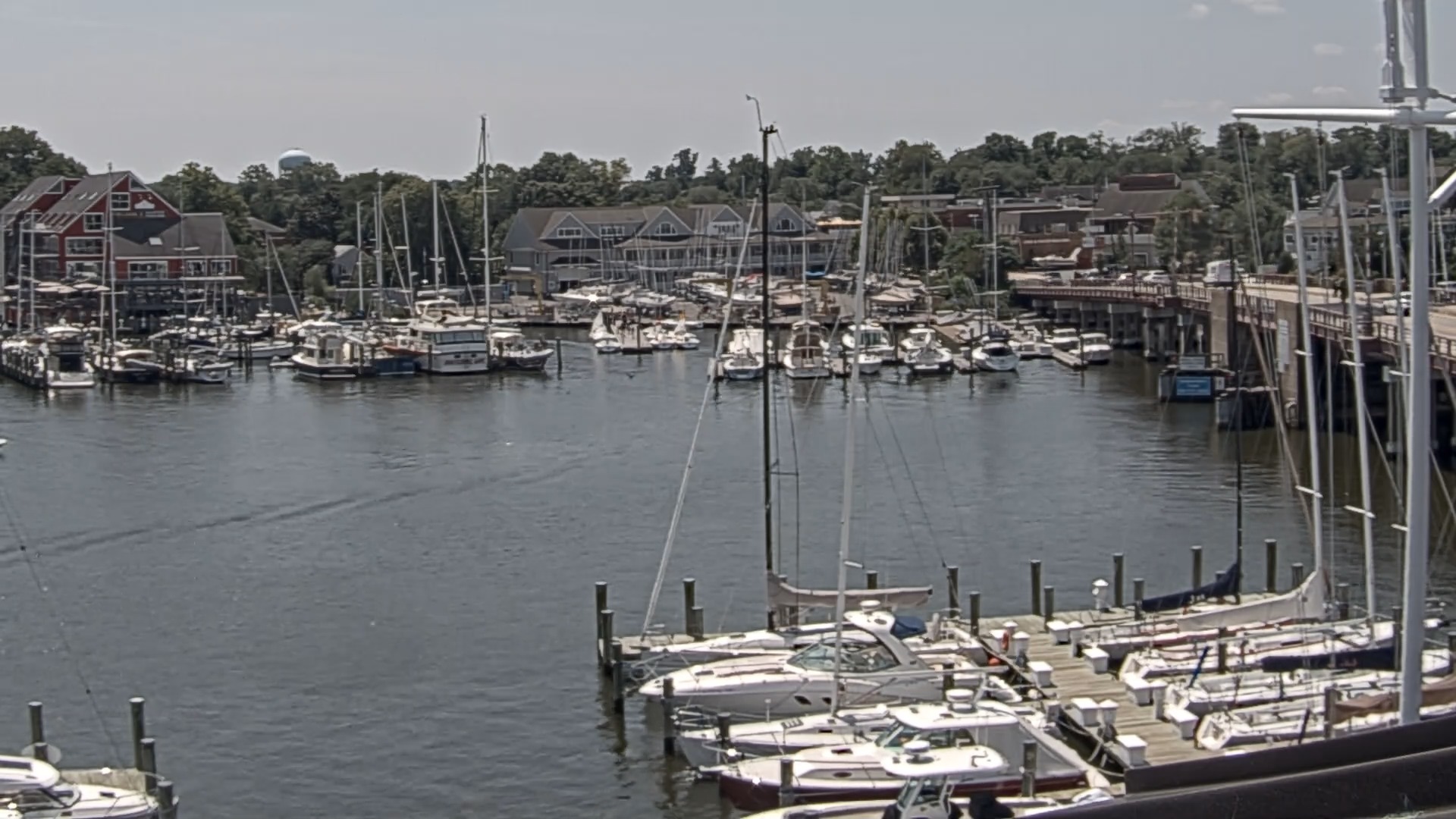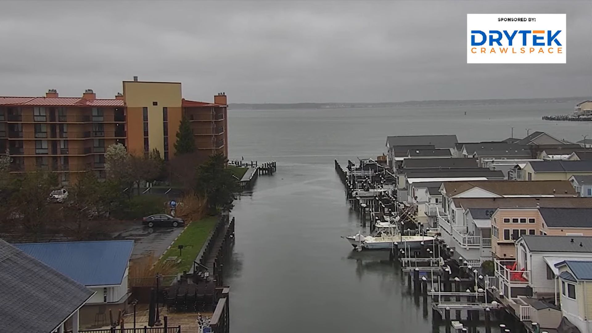

Watch Live and Timelapse Ocean City Maryland Webcams
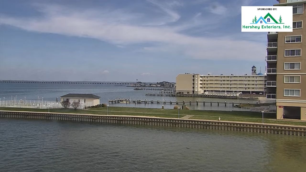
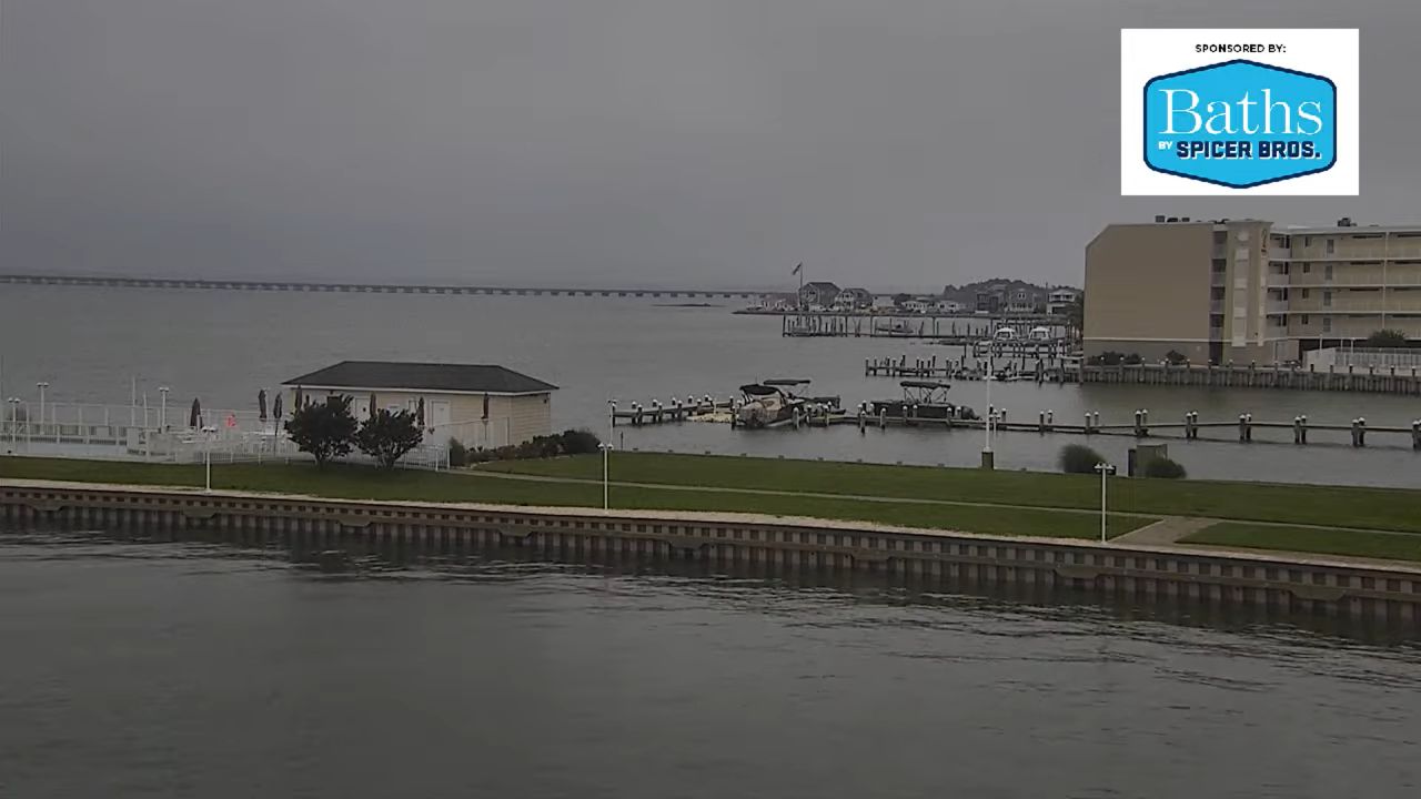
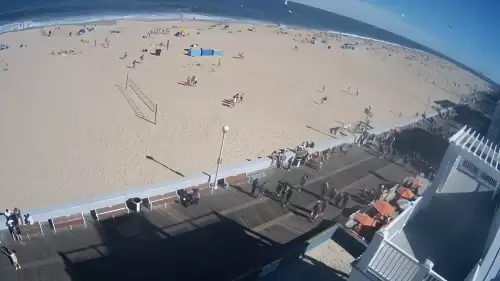
The best way to experience Ocean City Maryland, without leaving your home is through Live webcams! Watch the map via live webcams to see the lively coastal town in action. Ocean City Maryland Webcams are the best way to improve your mood just by sitting. Whether you want to watch waves crashing, enjoy a beautiful sunset, or people-watch on the boardwalk, we have all kinds of Ocean City’s webcams.
See live famous attractions that have been around since 1902. There’s a webcam of famous Broadway, restaurants, shops, bars, and family attractions like mini-golf. And don’t miss Northside Park on 125th Street and Seacrets!
Watch in clear 720p resolution, with options for live webcams, audio cams, and even time-lapse footage. Pick your spot anywhere in Ocean City Maryland. And let us know if any of the webcams aren’t working and we’ll fix it.
Use Our Ocean City Maryland HD Webcams For:
- Real-time Views: The purpose of our OCMD live webcams is to show you real-time Ocean City. See what’s happening on the beach and boardwalk whenever you want.
- Weather Updates: Besides the view, the live cams help keep track of the weather at the coast. Not all weather apps are perfectly accurate, that’s where these cams come in! Whether it’s sunny or stormy, these live videos can help you make plans for the day.
- Virtual Visit: Not all of us can visit the beach every time we want, so use the Ocean City Beach webcams to imagine and fill your daydreams. With just a click, you can imagine yourself walking along the beach or strolling on the boardwalk.
- Crowd Monitoring: Cam live streams are great for introverts to see when the beach is crowded or not. By showing the live-action cams, we will help you decide when to visit. You can see if it’s crowded and plan your trip accordingly.
Ocean City Beach and Bay Cams
The 10-mile stretch of beautiful Ocean City sandy beach is perfect for lounging under the sun, But when to visit? Sometimes, weather apps do not give correct predictions. That’s why we have provided a live webcam of Ocean City Beach. Take a look at it to know if it’s all right to play in the cool waters of the Atlantic Ocean.
Or you can watch it virtually through various beach cams. There are live and time-lapse views of Ocean City’s breathtaking coastline. From the Ocean 1 Hotel on 1st Street to the Crystal Beach Hotel on 25th Street, you can tour different parts of the beach without ever leaving your seat.
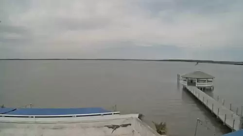
These cameras’ live streams show you everything: the beach conditions, the weather, and all the fun happening. If you prefer calm scenes, check out the bay cams showing the peaceful bay waters. Here are the webcams you can watch:
- Ocean 1 Hotel, 1st St. on the Boardwalk Beach
- Beach Cam, 21st St.
- Beach Cam, 25th St. (Crystal Beach Hotel, 25th St. on the Boardwalk)
- Quiet Storm Surf Shop Beach Cam
- Bayfront Cam
- Downtown Ocean City Bay Cam (1st St. on the Bay at de Lazy Lizard)
- Best Western Plus Bayfront (Best Western Plus, 61st Street & Coastal Hwy, OCMD)
- Princess Royale (91st St. Oceanfront)
- Ropewalk Bay Cam (81st St. on the Bay at Ropewalk Ocean City)
- Seacrets Bay (117 West 49th Street, Ocean City)
- Life Saving Station Museum (813 South Atlantic Avenue, Ocean City)
- Monte Carlo Hotel Boardwalk Beach Cam
- Quality Inn Oceanfront
- Paradise Plaza Inn Hotel
OCMD Sunset Cams
Apart from beach cams, Ocean City’s Sunset webcams are worth watching! Ocean City is popular for being one of the best places in the US to watch the sun go down. There are different webcams where you can watch it in real time. One of the best cameras is at Sunset Bay in Ocean City. It’s in the perfect spot to see the sunset up close. Another good spot is at the Princess Bayside Beach Hotel. Their camera shows a wide view of the bay when the sun is setting. There’s also the popular Fager’s Island and Sunset Grille sunset webcam. So, take your pick:
- Sunset Bay Cam
- Princess Bayside Sunset Cam
- Sunset Grille (12933 Sunset Avenue, Ocean City)
- Fager’s Island
- Pointe On The Bay
- The Grand Hotel, Sunset View Webcam
Boardwalk Cams
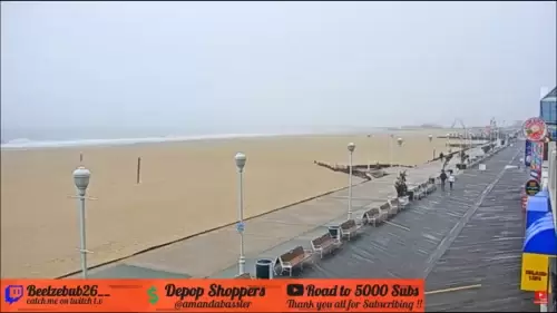
The Ocean City Boardwalk stretches for 3 miles along the coast of Ocean City, Maryland. It’s got that classic American vibe and is in the top ten best boardwalks in the entire United States. You can get a front-row seat to all the action on the boardwalk with our boardwalk webcams.
From famous spots like Thrasher’s Fries and Fisher’s Popcorn to the Jolly Roger amusement park, you can see them through boardwalk cams. Check out these webcams to know why Oven City’s boardwalk is a must-see destination.
- Jolly Roger on the Boardwalk with Pier
- Ripley’s Believe It or Not; on the Boardwalk
- Great White Shark on the Boardwalk
- Ocean 1 Hotel, 1st St. on the Boardwalk
- Thrasher’s Fries Broadwalk
- Boardwalk at Dorchester St.
- Comfort Inn Boardwalk
- On the Boardwalk at Wicomico St.
- On the Boardwalk at Talbot St. (Fisher’s Popcorn)
- 5th Street & the Boardwalk (The Kite Loft)
- 2nd Street & the Boardwalk
- 23rd Street & the Boardwalk
- 24th Street & the Boardwalk
- Howard Johnson Oceanfront Plaza; 12th St. on the Ocean City Boardwalk
- Boardwalk Rides Pier
- S. Division St. on the Boardwalk(Dough Roller Ocean City Cam)
- 14th Street & the Boardwalk (The Commander Hotel)
- Malibu’s Surf Shop 8th Street & the Boardwalk
Pier and Marina Cams
For people who love piers and Marina webcams, we’ve got calm Ocean City Pier webcams and Marina cams. You can watch the ocean and boats in real-time. From looking at boats and birds to watching people fishing, there’s everything live. Check the under-given webcams if you’re into fishing, boating, or just watching the sunset:
- Fishing Pier Cam
- MD Amusements Pier Cam
- Life Saving Station Museum Pier View (813 South Atlantic Ave, Ocean City)
- The Love Shack at Harbour Island Marina Cam
- Sunset Marina (12911 Sunset Avenue, Ocean City)
- Fishing Center (12940 Inlet Isle Lane, Ocean City)
- Fish Tales Ocean City
- Bahia Marina Cams
Bridge and Drawbridge Cams
Another way to catch boats is through our live Bridge and Drawbridge Views webcams. You can watch boats go through drawbridges at Route 50 and Route 90, or keep an eye on the traffic moving through these roads.
- Route 50 Drawbridge Cam (1st St. on the Bay at de Lazy Lizard)
- Bay Cam, Route 90 Bridge (Residence Inn; Route 90 Bridge; On the Bay in Ocean City)
- Route 50 Bridge
- Drawbridge Traffic Cam
- Cambria Hotel Bayview and Route 50 Bridge
Traffic Cams
To have an actual look at Traffic conditions in Ocean City, Maryland, use these live traffic webcams. They’re placed at important spots all around the city, from Route 50 to 94th Street. You can see real-time updates to help you figure out the best way to get around. Whether you’re off to the beach or exploring the shops and restaurants along Coastal Highway, these cameras will help you dodge any traffic jams:
- 94th St, Ocean City Maryland
- Best Western Plus, 61st Street & Coastal Hwy, Traffic Cam
- Route 90 Traffic Cam (at Route 589)
- 65th Street Traffic Cam
- The intersection of Routes 50 & 611
- Route 50 at Racetrack Road (Route 589) Traffic Cam
Inlet Cams
And if you love nature, you’ll love these Ocean City Inlet Webcams. Check out Assateague Island, and the Indian River Inlet. You can admire the stunning scenery or maybe even spot some local marine activity. Here are the webcams:
- The Wedge Bar
- Assateague Island
- Inlet Parking Lot (Front, Corner,
- Beach Cam (The Inlet View)
- Inlet Cam (12930 Sunset Ave, Ocean City, MD 21842)
- Indian River Inlet (Route 1, Bethany Beach
Ocean City Action Cams
Many people tune into city action webcams for different reasons. Some just love watching the busy streets and lively vibes of city life. Others use it for entertainment or to get nostalgic feelings, getting a look into places they haven’t been to. And then some use it to check traffic or see what the weather’s like.
They just give you a virtual tour–If you’re into that, you should check out our Ocean City action cams. We’re talking about activities around Castle In The Sand, the Carousel Hotel, Casino Cam, or the Golf Club Cam.
There’s even a webcam to look into Ocean City’s art scene, it’s the Ocean Gallery Cams. With these cams, experiencing Ocean City’s action is as easy as clicking a button:
- Castle In The Sand (3701 Atlantic Avenue, Ocean City)
- North Webcam (Carousel Hotel; North Ocean City MD)
- Ocean Downs Casino Cam (Route 50 at 589, Berlin, MD)
- Golf Club Cam (South Point, Berlin, MD)
- Harbour Island Marina (14th St, Ocean City MD)
- Park Place Hotel
- Americana Hotel Oceanfront
- Ocean Gallery Cams
- Northside Park Webcams
Final words
Overall, Ocean City Maryland Webcams is the best way to visit the whole place virtually. you can plan a virtual visit to Ocean City Maryland using the live cams right now! See what’s up at Ocean City Gallery and the Boardwalk 24/7. Watch live or catch the highlights in the previous time-lapsed version. We always add new webcams of Ocean City so let us know if you want one added. And if you have a live webcam that you want to share, let us know.
Faqs
1. What should you do if the cameras aren’t working?
Let us know! We can’t promise that all the Ocean City webcams will be working all the time. If you notice any OC webcams that aren’t working contact us.
2. Which app can I use to watch live cameras in Ocean City Maryland?
There aren’t any apps but you can watch live webcams on Google or from our site.
3. How long is the Boardwalk in Ocean City and where to see it live?
The Boardwalk in Ocean City is three miles long and you can watch it at our site. We have webcams from all around Ocean City Maryland’s Boardwalk.