Live Cruise Ship Webcams & Port Navigation Matrix
Access our comprehensive international directory of active 24/7 high-definition bridge cameras and port-side tracking nodes. Filter our global maritime matrix by specific cruise line fleets, heavy passenger terminals, or active shipping canals to monitor real-time berth arrivals, open-water wave heights, and localized weather visibility across major oceanic transit lanes instantly.
Whether you are an ocean liner enthusiast tracking a vessel’s current coordinates via live bridge cams, an arriving passenger evaluating boarding lane crowd densities at central piers, or a virtual traveler checking changing marine weather fronts, our live nodes deliver instant visual verification.



Key International Cruise Port & Vessel Tracking Sectors
Because global maritime corridors span high-traffic Caribbean bays, historic Mediterranean harbors, and rugged sub-polar shipping channels, their visual utility profiles vary throughout the transit cycle. Use this portal to track real-time zoological and logistics activity across these core sectors:
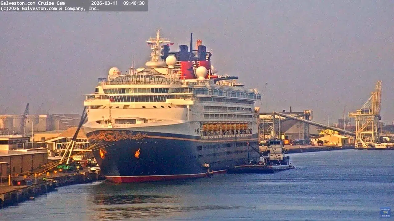
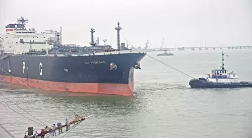
- North American & Caribbean Port Facilities: Monitor real-time mega-ship arrivals, bow thruster alignments, and passenger boarding queue densities across premier regional transit lines including the Galveston Cruise Port at Pier 21, the Port Canaveral Disney Cruise Line terminal, and the Prince George Wharf complex at Nassau Cruise Port.
- Onboard Bridge & Bow Tracking Arrays: Track open-ocean sea chop, storm front clearances, and horizon weather visibility via automated, real-time bridge cams broadcasting directly from actively sailing luxury vessels like the Crown Princess and broader international fleets.
- European Shipping Canals & Historic Harbours: Evaluate heavy commercial and passenger vessel transit logistics, locking operations, and lock elevator water level changes crossing vital international maritime pipelines like the Kiel Canal in Germany and the Barcelona Port basins in Spain.
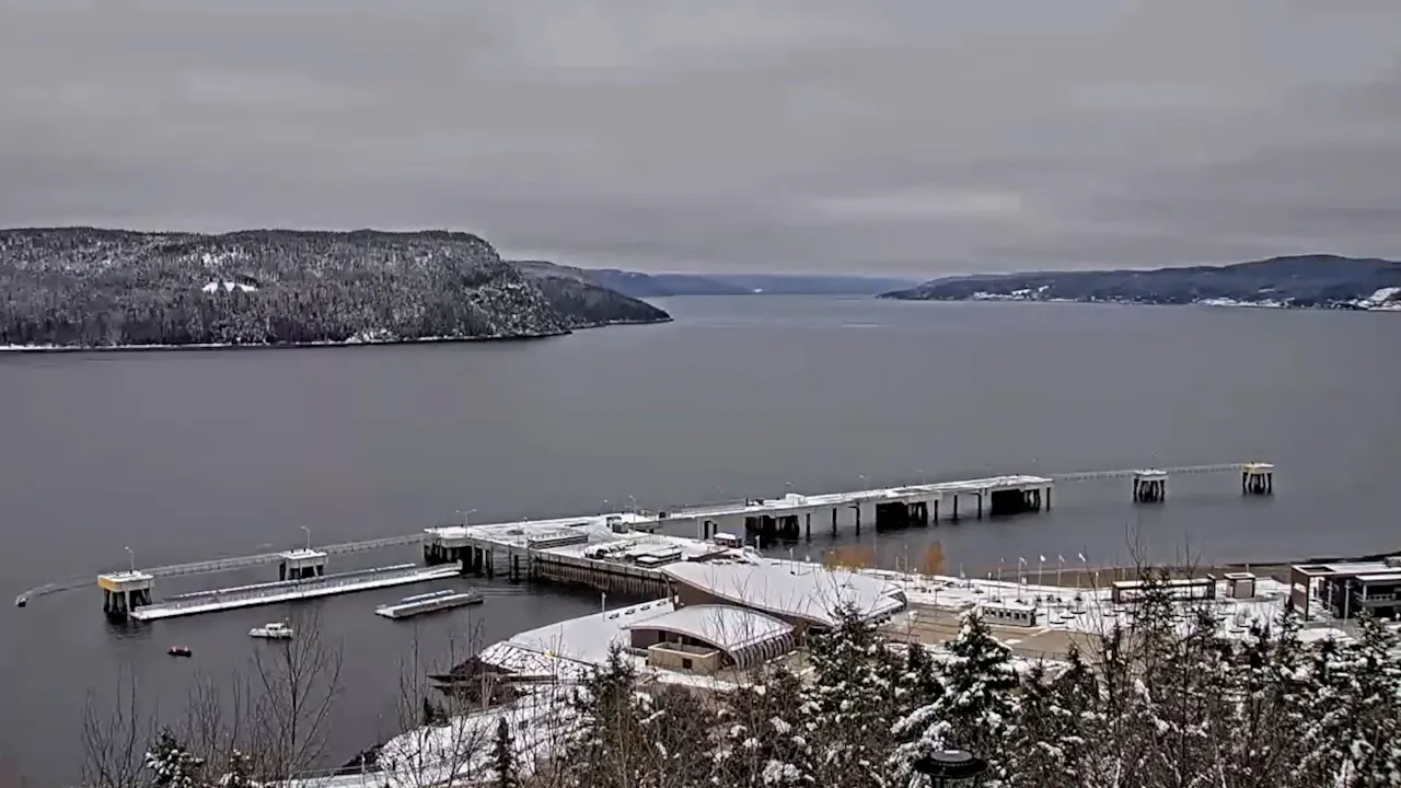
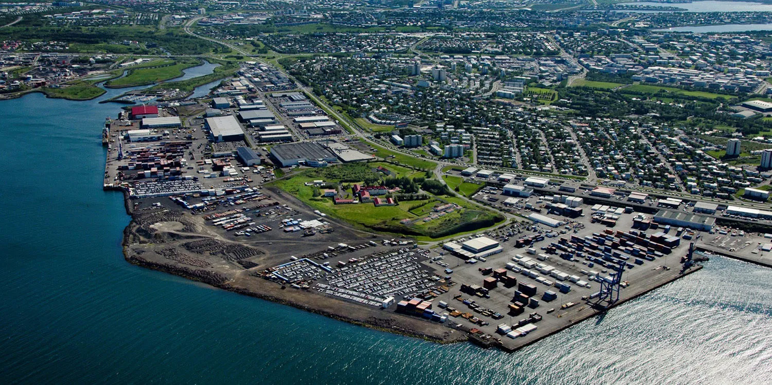
- Sub-Polar & North Atlantic Maritime Routes: Check localized low-haze fog layers, winter snow accumulation, and harbor shipping channel traffic running across remote northern transit corridors, including Kleppsbakki Harbour in Sundahöfn Port at Reykjavík, Iceland, and the Saguenay River inlets at La Baie in Quebec.
Logistics, Transit & Macro-Maritime Reference Matrix
- Directory Niche Anchor: International Cruise Line Fleet Tracking, Commercial Passenger Port Berths, and Open-Water Bridge Cam Network.
- Primary Waterway Systems Covered: Western Caribbean Channels / North Atlantic Transit Sectors / Mediterranean Harbor Basins / Pacific Inside Passage Pipelines.
- Key Monitored Infrastructure: Automated bow lens systems, port linkspan alignments, passenger tender docks, and lock elevator water level gates.
- Best Daily Viewing Times: 24/7 rotation; early morning slots for high-contrast harbor arrival docking maneuvers; open-ocean daylight hours for tracking vessel horizon wave heights and marine visibility.
- Global Transit Context: Operating as the centralized directory matrix for international passenger shipping lines, this multi-camera indexing node maps out time zone variances, traces localized microclimate weather tracks intersecting major tropical shipping channels, evaluates passenger terminal road congestion, and coordinates ground travel links connecting major cruise berths directly to regional international airports.