Live Wolfeboro Webcam
Enjoy the live HD webcam located in the town of Wolfeboro, New Hampshire. Wolfeboro is so popular because of its unmatched scenic beauty and its small town New England character. This web cam is hosted by Wolfeboro Bay Real Estate.
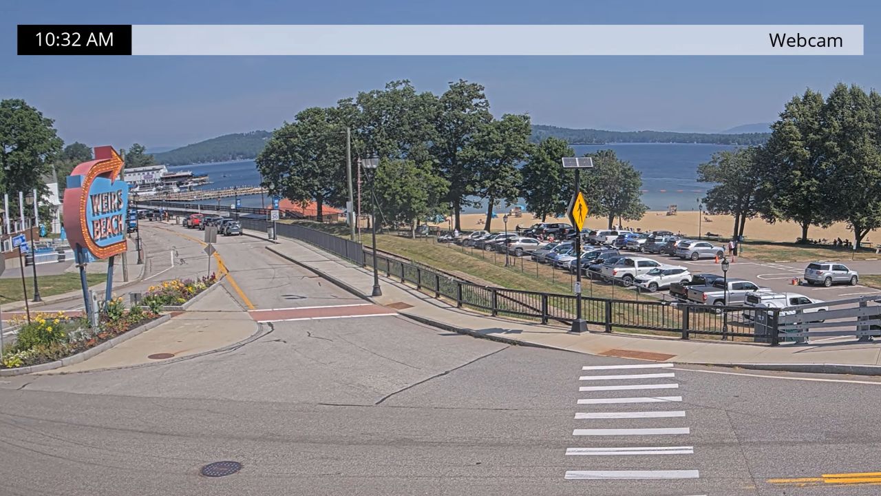
This view on Main Street in downtown Wolfeboro looking toward the bridge that connects Wolfeboro Bay to the Bay Bay on Lake Winnipesaukee. Wolfeboro is commonly and widely as the Oldest Summer Resort in America! Lake Winnipesaukee is New Hampshire’s largest lake covering 72 square miles and surrounded by 3 mountain ranges.
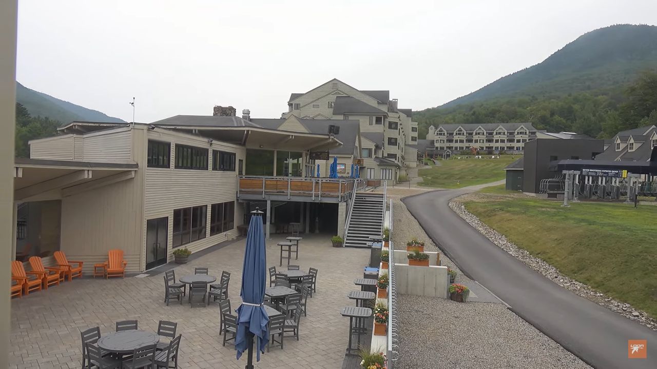
There are plenty of activities within close proximity of this camera including the Wolfeboro Corinthian and Windrifter Yacht Club. You can also enjoy Cafe Park or Brewster Beach which is right up the road. There are plenty shops, inns, and restaurants within the immediate area. Checkout the nearby cam of the Waterville Valley Resort in New Hampshire.
Explore Wolfeboro
The town’s public docks make it easy for residents and tourists alike to access the water, contributing to a vibrant waterfront atmosphere. Additionally, the scenic views of the surrounding mountains and forests further enhance the experience, making Wolfeboro a perfect destination for nature enthusiasts.
Beyond its stunning natural landscapes, Wolfeboro boasts a delightful downtown area filled with unique shops, galleries, and eateries. Strolling along its historic streets, visitors will encounter charming boutiques offering handmade crafts, local art, and specialty goods. The local dining scene is equally inviting, with several establishments serving fresh seafood and regional cuisine.
Throughout the year, the town hosts various events and festivals that celebrate its culture and community spirit. These include farmers’ markets and seasonal fairs, which provide a lovely opportunity for visitors to interact with locals and learn about the area’s traditions. Exploring the downtown provides an enriching experience, revealing the heart of Wolfeboro’s vibrant community.
For those interested in history, Wolfeboro offers several attractions that highlight its rich past. One notable site is the Wright Museum of WWII, which houses a vast collection of artifacts and exhibits dedicated to the American experience during World War II. This museum provides an engaging and educational experience for guests of all ages, as they learn about history through personal stories and memorabilia.
Additionally, Wolfeboro is home to several historic sites, including early 19th-century architecture and well-preserved landmarks. A visit to the town’s historical society provides further insights into the area’s cultural heritage. Together, these features create a comprehensive picture of Wolfeboro, making it a worthwhile destination for families, history buffs, and anyone looking to experience the charm of New Hampshire’s lakeside towns.
Weather & Climate
Wolfeboro, New Hampshire, is characterized by a humid continental climate, which results in distinct seasonal variations that enhance its natural beauty and appeal.
- Winters are typically cold and snowy, with average temperatures often dipping below freezing, making it a picturesque environment for winter sports enthusiasts.
- Summer months bring warm temperatures, with averages ranging from the mid-70s to low 80s Fahrenheit. Furthermore, providing ideal conditions for outdoor activities such as boating and hiking.
- Spring and autumn serve as transitional seasons, showcasing vibrant foliage, particularly in late September to early October, drawing visitors for leaf-peeping excursions.
Precipitation is relatively evenly distributed throughout the year, contributing to the lush landscapes surrounding Lake Winnipesaukee and the surrounding forests. Overall, Wolfeboro’s weather and climate offer a unique and diverse experience year-round.