This comprehensive northern territory master directory coordinates an active network of high-vantage telemetry stations tracking heavy rail freight configurations, sub-polar aviation paths, and rapid maritime microclimate transformations across the state of Alaska. Integrating real-time video telemetry directly from the primary Cook Inlet shipping channels, the busy floatplane runways of Lake Hood, the historic rail junctions in Anchorage, and protected wilderness reserves, this centralized control panel gives logistics networks, cruise ship fleets, and sub-Arctic travelers a single tracking tool. Users can toggle through the distinct visual assets via the synchronized system dropdown menu to analyze incoming Pacific storm cells, track seasonal glacier wall fracturing, review coastal harbor terminal saturation, and watch real-time atmospheric auroral activity across the northern oval.







Cook Inlet Marine Terminals, Dalton Highway Passes, and Sub-Arctic Logistics
Spanning over 663,000 square miles across the Arctic and Pacific frontiers, this strategic northern footprint serves as a critical multi-modal freight throat where international trans-polar flight paths, class-I resource railroads, and deep-water maritime shipping channels converge. Checking the live state-wide directory simplifies tracking for long-haul distribution fleets monitoring cargo staging rows near the North Slope oil fields, lets marine pilot networks track ice floe positioning across Resurrection Bay, and assists backcountry pilots in evaluating high-latitude mountain cloud ceilings before taking off. Because sudden intense sub-polar winter blizzards, heavy seasonal freezing rain setups, or thick morning advection sea fog blankets can instantly freeze transit lines and alter surface friction parameters along major resource corridors, this permanent visual panel acts as a vital tool for verifying open public safety lanes.
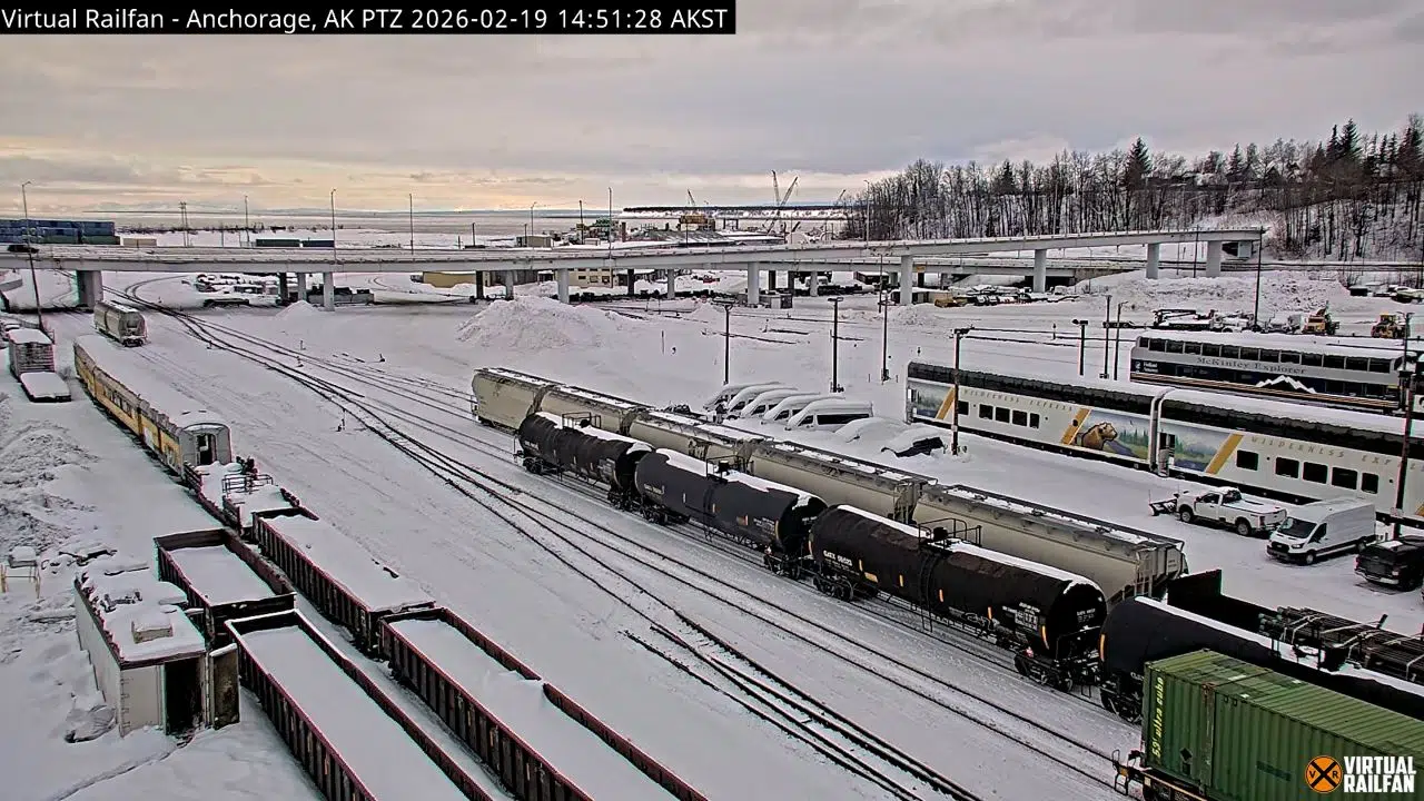
- The Anchorage Heavy Rail Corridors: Monitor real-time industrial locomotive shunting sequences, raw resource freight carrier configurations, track switch clearings, and immediate structural steel weathering across the sub-Arctic yard grids.
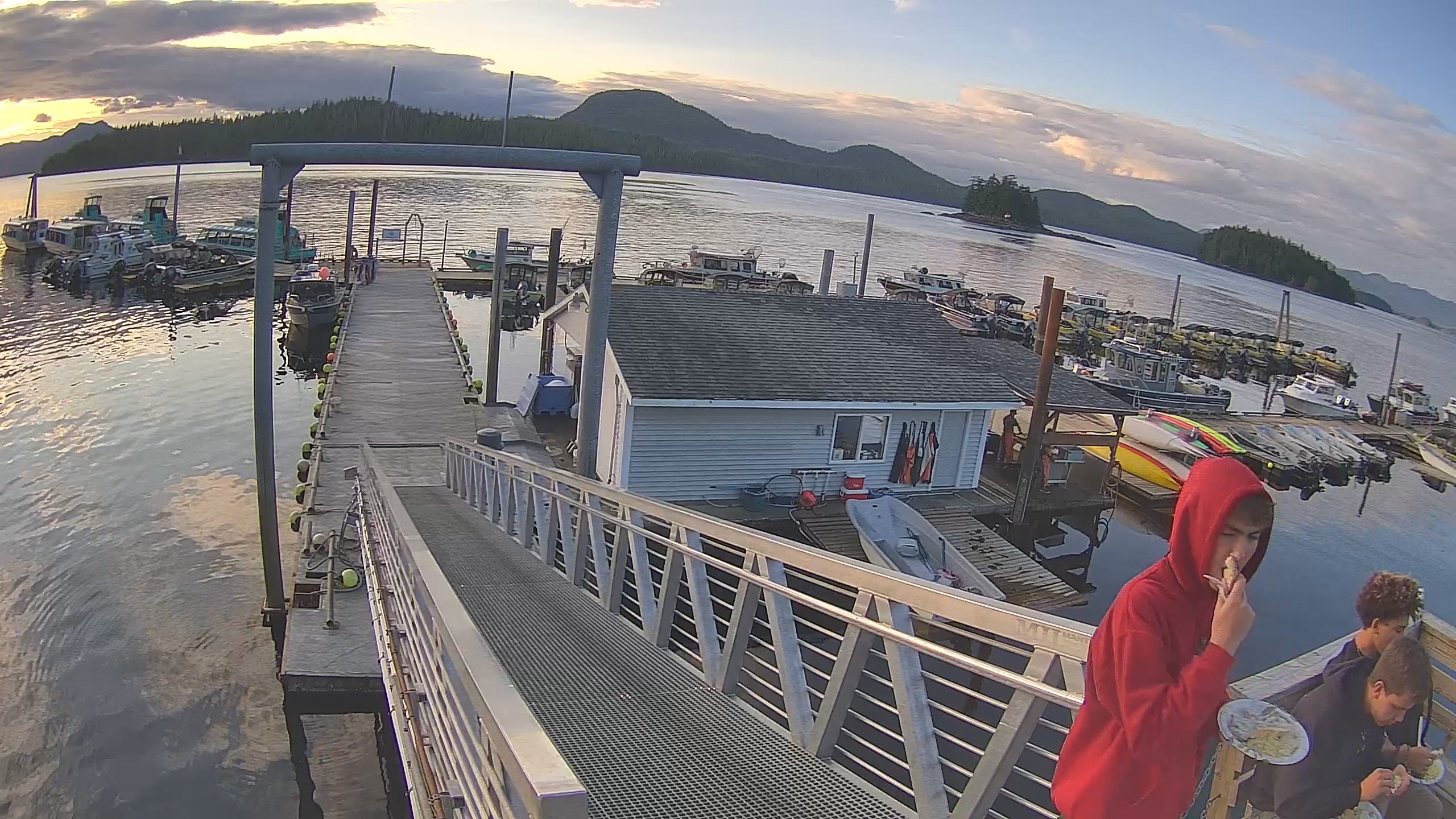
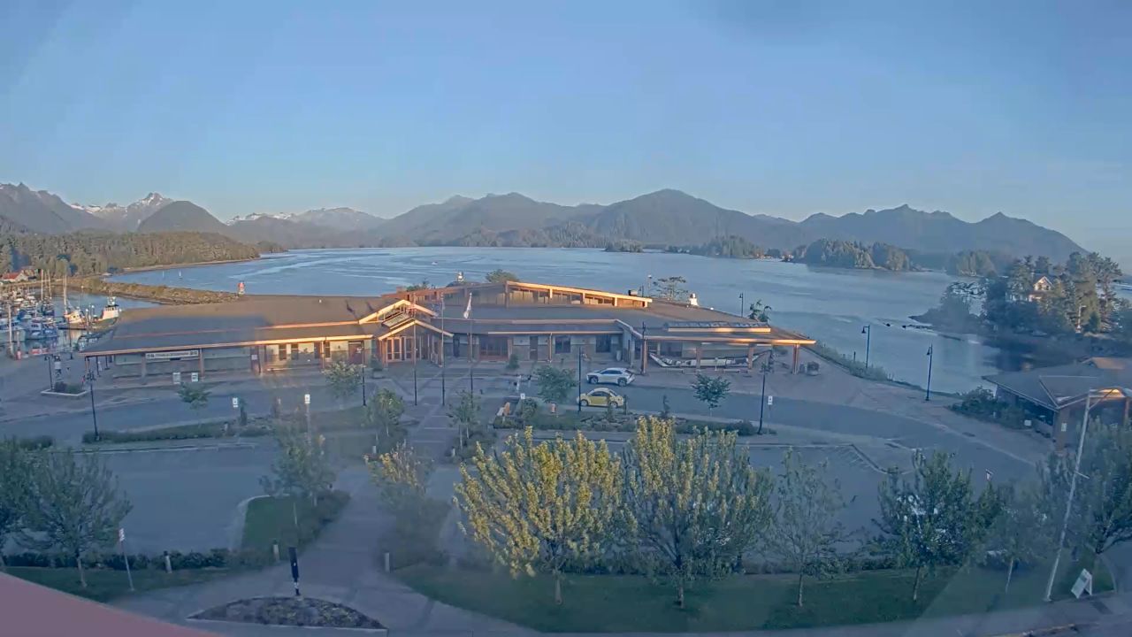
- The Juneau and Whittier Cruise Ports: Watch massive international passenger vessel arrival velocities, deep-water marina dock slot saturation, public harbor front walkway crowd packaging, and quayside passenger boarding lines.
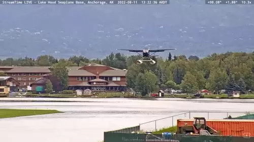
- The Sub-Polar Seaplane Base Runways: Track high-frequency floatplane takeoff rotations across Lake Hood, water taxi taxi tracks, dockside staging alignments, and surface water ripple variables.
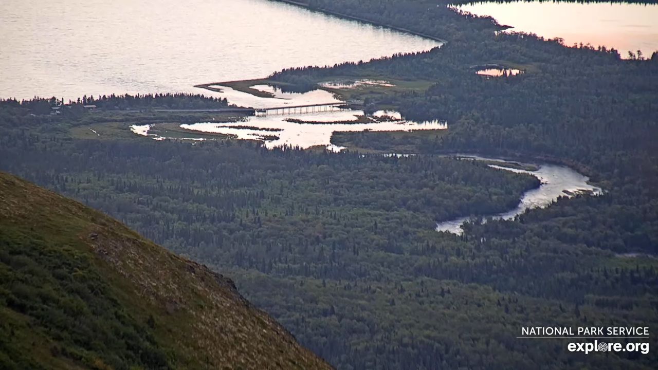
- The Protected Wilderness Ecosystem Loops: Observe local brown bear fishing maneuvers along the Katmai National Park Brooks Falls river shelves, seasonal salmon run runs, and walrus beach distributions on Round Island.
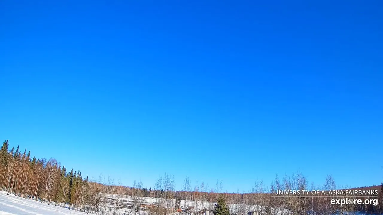
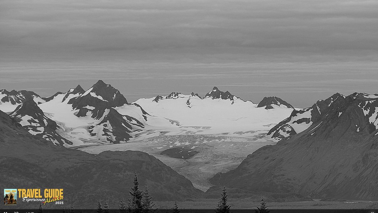
- The Auroral Oval Sky Horizons: Evaluate changing high-latitude cloud ceilings, real-time daylight visibility depths over the remote Arctic tundra lines, and spectacular high-contrast nightscape solar wind transformations from Fairbanks to Utqiaġvik.
Logistics, Transit & Regional Hub Infrastructure Reference Grid
- Physical Anchor Sites:
- Rail Core Sector: Upper Structural Overlook Tower Gantry, Anchorage Industrial Railroad Yards, Ted Stevens Anchorage Axis, Anchorage, AK 99501
- Maritime Southeast Sector: High-Vantage Harbor Monitoring Gantry, Juneau International Cruise Port Terminal, Akti Marine Corridor, Juneau 99801
- Wilderness Interior Sector: Automated Weather-Hardened Telemetry Mast, Brooks Falls River Basin, Katmai National Park 99613
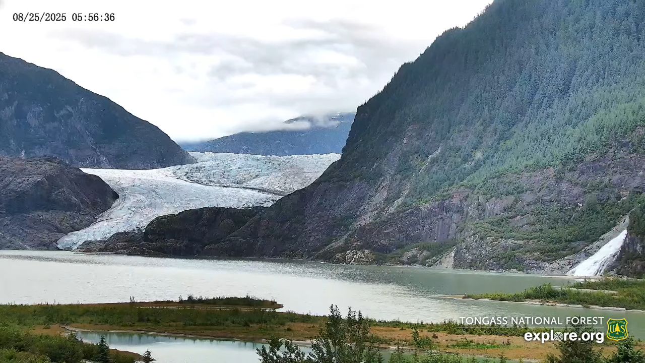
- Target Landmark Footprint: 6-Million-Acre Protected Denali National Park Frontiers, 20,310-Foot Mount Denali Architectural Ridges, Historic Gold Rush Sled Dog Paths, and Connected Tongass National Forest Botanical Buffer Zones
- Geographic Coordinates: 64.2008° N, 149.4937° W (State Center Grid Centroid)
- Primary Automotive Axis: Alaska Highway (Alcan Highway) / Dalton Highway Spine / Parks Highway Corridor / Seward Highway Pipeline
- Primary Aviation Access: Ted Stevens Anchorage International Airport (ANC) Logistics Infrastructure / Fairbanks International Airport (FAI) / Juneau International Airport (JNU)
- Best Daily Viewing Times: 24/7 continuous stream. Summer daylight cycles capture endless midnight sun operations and high-frequency wilderness wildlife loops under natural lighting, while winter night windows utilize advanced low-light sensors to track vibrant green aurora borealis bands safely.
- Regional Transit Context: Positioned as the foundational informational landing page for the state-wide tracking network, anchoring all sub-district transport coordination, coastal zone logistics tracking, and emergency wilderness evacuation monitoring infrastructure of the area.