This comprehensive state-wide master directory coordinates an active network of high-vantage telemetry stations tracking transcontinental class-I rail manifest lines, multi-lane desert freeway saturation, and rapid high-altitude microclimate transformations across Arizona. Integrating real-time video telemetry directly from the bustling Salt River Valley loop, the steep alpine cuts of the San Francisco Peaks, and the historic transit corridors of the Sonoran Desert, this centralized control panel gives logistics networks, seasonal outdoor enthusiasts, and daily commuters a single tracking tool. Users can toggle through the distinct visual assets via the synchronized system dropdown menu to analyze incoming Pacific winter storm fronts, track fast-moving summer monsoonal flash-flooding, review commuter road traction parameters, and monitor haboob dust blankets rolling across the basins.






Valley of the Sun Freeways, Mogollon Rim Passes, and Sonoran Freight Logistics
Spanning over 113,000 square miles across rugged canyon frontiers and expanding metropolitan grids, this strategic desert footprint serves as a critical multi-modal freight throat where continental shipping pipelines, international aviation lanes, and heavy rail networks converge. Checking the live state-wide directory simplifies tracking for long-haul distribution fleets monitoring cargo trailer staging delays along the Interstate 10 and Interstate 40 corridors, lets skiers audit real-time slope surface ice parameters at the Arizona Snowbowl resort, and assists motorists in evaluating asphalt traction coefficients. Because sudden intense summer downpours, severe convective heatwaves, or thick mountain radiation valley fog blankets can rapidly drop driving visibility scales along the highway switchbacks, this permanent visual panel acts as a vital tool for verifying open public safety lanes.
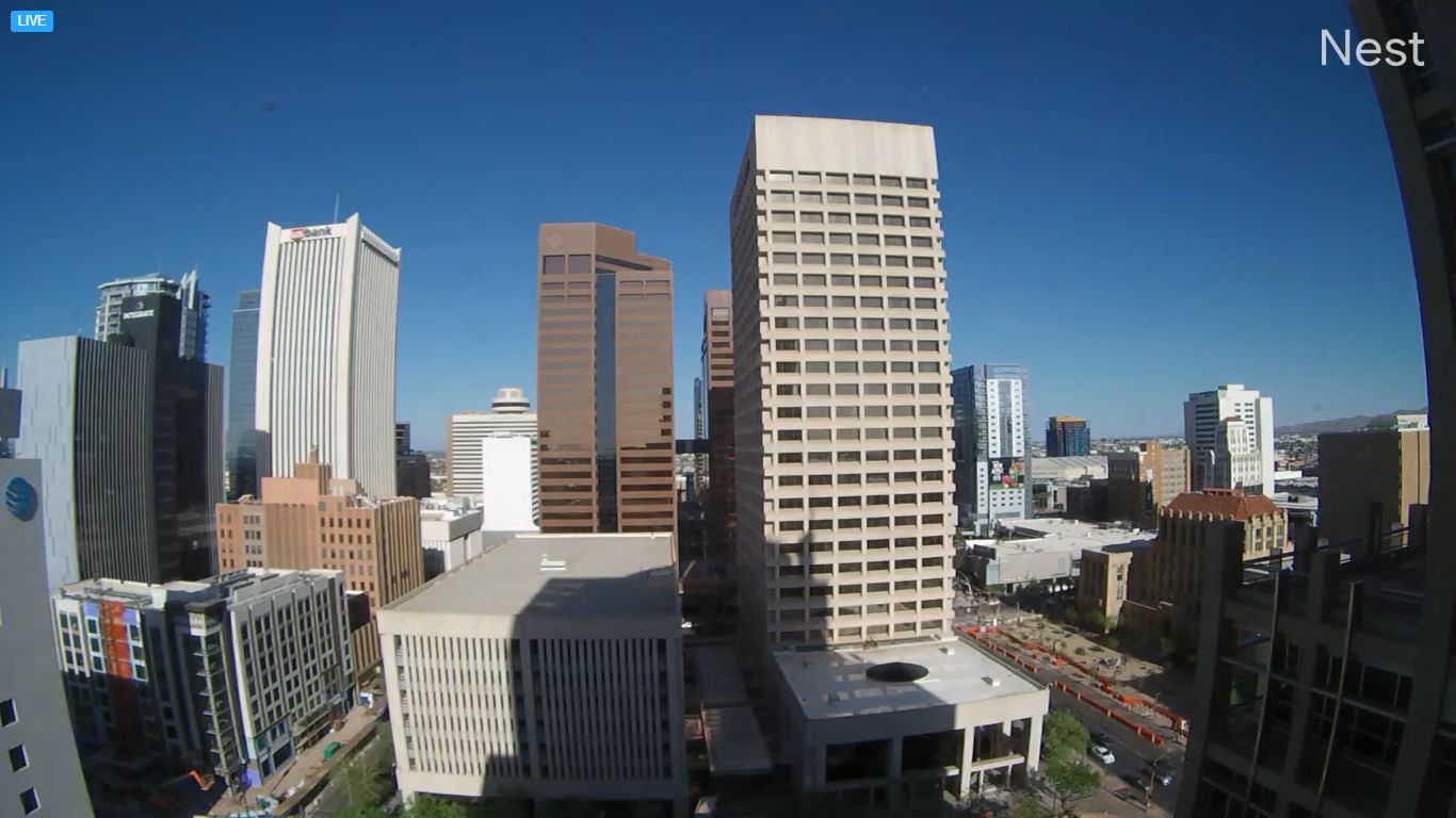
- The Phoenix Metropolitan Grid (North/South/East/West Loops): Monitor real-time multi-lane freeway velocity tracks, stop-and-go commercial delivery van queues, urban light rail clearances, and immediate asphalt deck weathering.
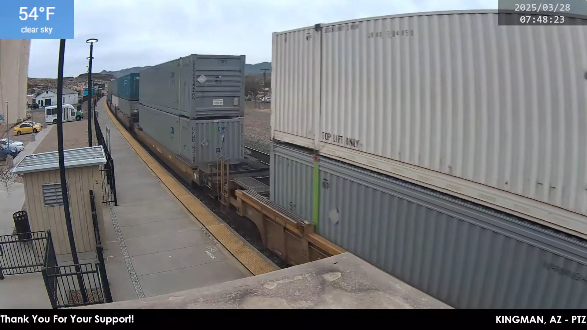
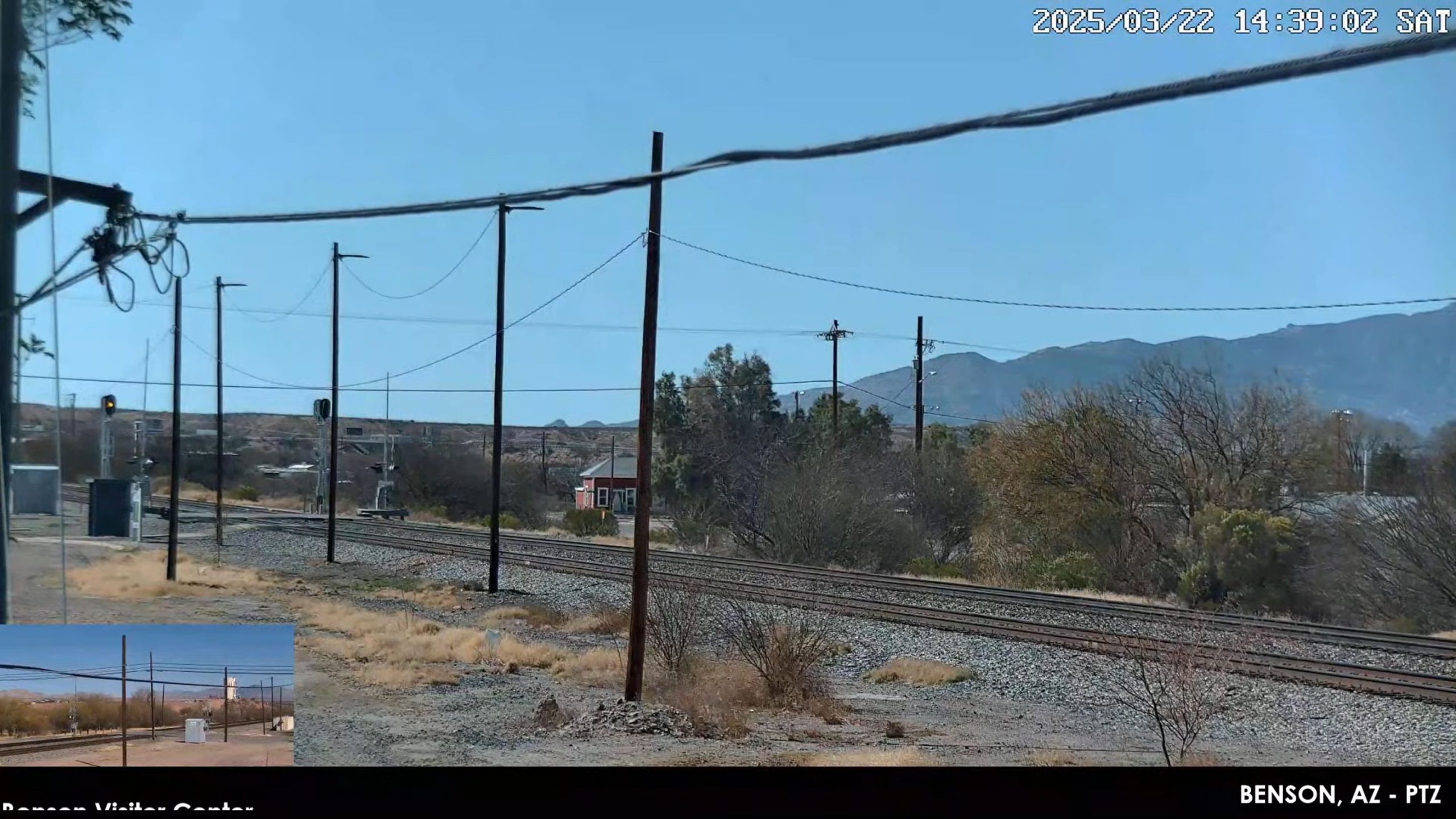
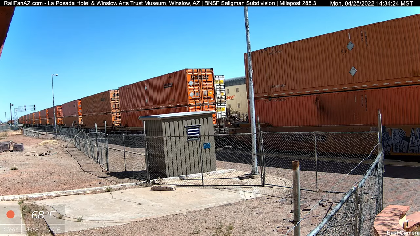
- The Transcontinental Heavy Rail Corridors: Watch high-velocity BNSF intermodal manifest layers across Flagstaff and Kingman, Union Pacific locomotive shunting sequences along the Benson Sunset Route, and passenger platform boarding queues at the Tucson Amtrak Depot.
- The High-Country Alpine Slopes: Track alpine athlete downhill velocity vectors, lift line boarding queues at the Canyon Express networks, and real-time snowpack depth parameters across the San Francisco Peaks.
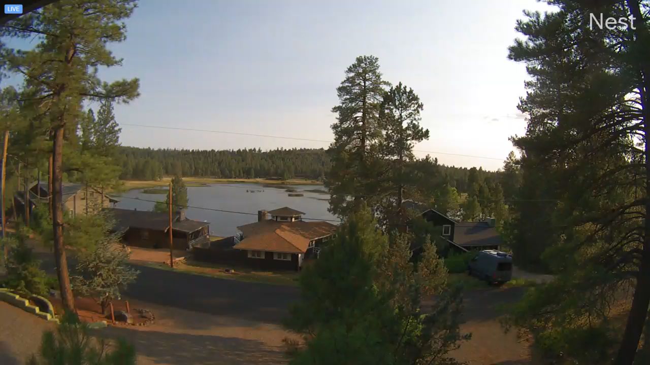
- The Red Rock and Wilderness Overlooks: Evaluate changing daylight visibility depths across Sedona’s iconic sandstone cliffs, Lake Odell fishing channel ripple variations at Munds Park, and Glen Canyon watercraft alignments at the Antelope Point Marina docks.
Logistics, Transit & State Infrastructure Reference Grid
- Physical Anchor Sites:
- Metropolitan Core Sector: Upper Structural Overlook Gantry, Downtown Phoenix Skyscraper Array, Washington Street Corridor, Phoenix, AZ 85004
- Northern Alpine Sector: High-Vantage Operations Telemetry Tier, Arizona Snowbowl Summit Ridge, Flagstaff 86001
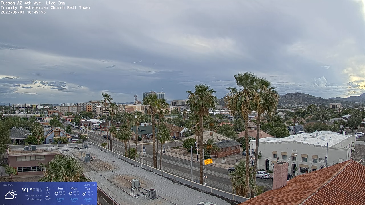
- Southern Rail Sector: Upper Structural Overlook Gantry, Tucson Amtrak Depot Tier, 414 North Toole Avenue, Tucson 85701
- Target Landmark Footprint: 1.2-Million-Acre Deep-Cut Grand Canyon National Park Boundaries, 12,633-Foot Volcanic San Francisco Peaks Ridges, Historic Route 66 Preservation Rows, and Connected Saguaro National Park Saguaro Forests
- Geographic Coordinates: 34.0484° N, 111.0940° W (State Center Grid Centroid)
- Primary Automotive Axis: Interstate 10 Spine / Interstate 40 Pipeline / Interstate 17 Corridor / U.S. Route 60 / U.S. Route 93
- Primary Aviation Access: Phoenix Sky Harbor International Airport (PHX) Logistics Hub / Tucson International Airport (TUS) / Flagstaff Pulliam Airport (FLG)
- Best Daily Viewing Times: 24/7 continuous stream. Weekday morning and afternoon commuter rush hours capture intense valley highway saturation under clear horizontal lighting formats, while late afternoon slots track spectacular red rock color transitions and moving transcontinental freight train lines safely.
- Regional Transit Context: Positioned as the foundational informational landing page for the territory-wide transit tracking network, anchoring all sub-district transport coordination, territory zone data tracking, and emergency evacuation monitoring infrastructure of the area.