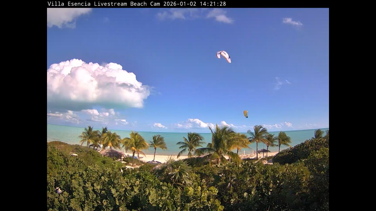
This streaming network features live, high-definition video feeds from the most popular coastlines across Providenciales. It serves as an active visual guide for travelers checking local beach crowd densities, snorkelers tracking reef water clarity, and kiteboarders evaluating trade wind velocity across the island cays.
Real-Time Tracking for Grace Bay and Long Bay Shorelines
The shallow barrier reefs and calm waters around Providenciales create intense shades of blue that shift based on morning sun angles and tidal movements. Instead of scrolling through static photos, this directory links you directly to live lookouts stationed at premier beachfront properties. You can view the current conditions across the white sands of Grace Bay, check out the activity along Leeward Beach, or monitor the open-water chop further south.
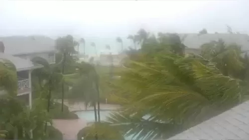
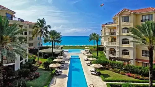
Because weather on the islands can transition rapidly from bright, sun-drenched sky conditions to passing tropical squalls, these cameras offer an essential safety check. Offshore bonefishing guides use the feeds to verify surface winds, while resort guests log on to see how busy the beach umbrellas and lounge chairs are at Seven Stars and Villa Renaissance before leaving their rooms.
Prime Island Viewing Angles Featured on Screen
- The Grace Bay Resort Lines: Front-row views tracking public sand availability, sunbather density, and gin-clear water visibility.
- The Long Bay Kiteboarding Flats: Windy, south-facing lookouts showing real-time sail activity, wave heights, and shallow reef margins.
- Leeward Beach Passages: Quiet caye lookouts tracking coastal boat transits, luxury yachts, and private dock spaces.
- The Outer Caribbean Horizon: Clear skyline views letting watchers track approaching rain bands and offshore marine fog layers.
Island Geography and Navigation Markers
Our Caribbean tracking grid organizes its primary streaming nodes along the northern and southern coastlines of Providenciales.
- Central Grace Bay Coordinates: 21°47’54.2″N 72°10’43.5″W
- Primary Transportation Route: Leeward Highway / Grace Bay Road
- Main Transit Hub: Providenciales International Airport (PLS)
Using these strategic geographic coordinates allows vacationers to map out beach conditions near major dining strips, track weather shifts moving past the coral cays, and look at the actual shoreline environment before driving out to remote coastal parks.
When to Log On: Optimal Light and Wind Windows
The islands experience a tropical marine climate heavily moderated by steady easterly trade winds, bringing consistent year-round warmth with a distinct rainy season from late summer through autumn.
- The Morning Water Clarity Check: Open the camera feeds between 8:00 AM and 10:30 AM local time. This is the ultimate window to see the true turquoise colors of the water before afternoon cloud reflections alter the view.
- The Trade Wind Scout: Check the Long Bay streams between 1:00 PM and 4:00 PM if you are planning to launch a kiteboard, as this is when the afternoon winds typically peak across the shallow flats.
Frequently Asked Questions
Why do snorkelers use these live Turks and Caicos webcams?
Divers and snorkelers check the live feeds to instantly analyze underwater visibility, wave chop, and local wind conditions before booking boat charters out to the barrier reef.
Can you see the Grand Turk Lighthouse from this page?
No. The cameras in this specific index are located on the main tourist island of Providenciales. Grand Turk sits over 70 miles away to the southeast, completely outside the scope of these regional resort lenses.
Are these Caribbean camera feeds active during storm events?
Yes. The tracking matrix streams 24/7 year-round, giving the community a helpful tool to monitor real-time beach erosion, tropical storm bands, and coastal wind speeds during hurricane season.