This multi-angle municipal camera matrix provides a real-time window onto downtown Key West’s primary commercial corridor, tracking pedestrian foot traffic, vehicle congestion, and local weather patterns.
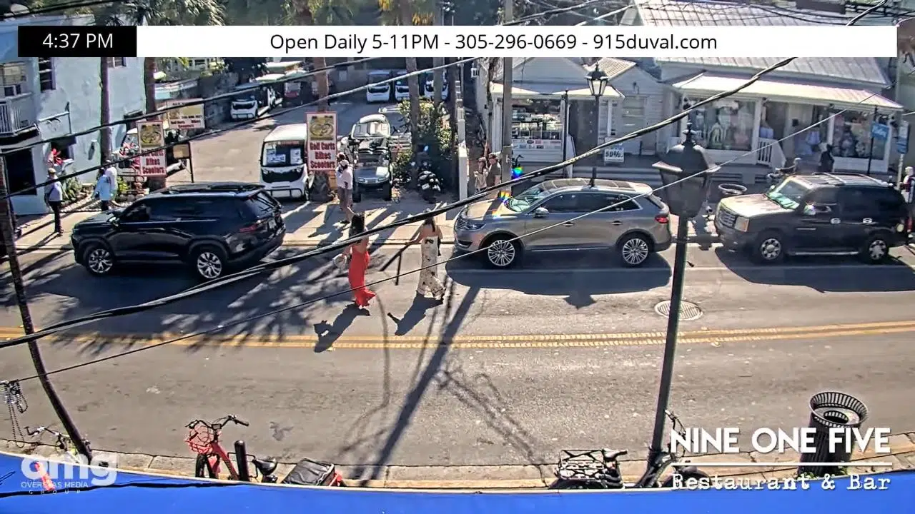


Pedestrian Corridor Bottlenecks and Transit Logistics
The camera network spans the length of Duval Street, capturing activities from the Gulf piers to the southern beaches to help evaluate visitor densities and atmospheric conditions.
- Lower Duval: Tracks crowd levels and bar-district activity.
- Mid-Street: Monitors shopping traffic and parade pathways.
- Upper Duval: Observes quieter southern sectors and cafe spaces.
- Weather Horizon: Evaluates approaching tropical fronts and visibility.
Logistics & Geographic Infrastructure Reference Grid
- Anchor Site: Duval Street Corridor, Key West, FL 33040
- Coordinates: 24°33′21″N 81°48′11″W
- Primary Axis: Duval Street / U.S. Highway 1