Live Navarre Beach Pier Webcam: Florida Panhandle Coast

Real-Time Gulf Surf Conditions, Pier Fishing Action, & Santa Rosa County Weather

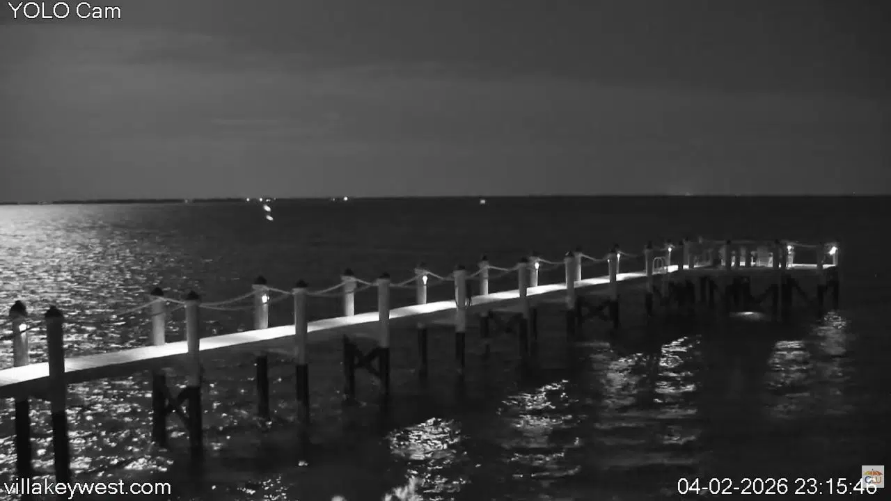
Peer directly into the emerald waters of the Florida Panhandle with our streaming coastal network. Our high-definition live camera array provides a 24/7 digital window directly overlooking the Navarre Beach Fishing Pier, positioned within Navarre Beach Marine Park in Santa Rosa County, Florida (FL). Extending an impressive 1,545 feet into the Gulf of Mexico, this active vantage point delivers real-time visibility into rolling emerald wave breaks, daily angler catches, and pedestrian traffic along the longest pier in the Gulf.

Local pier fishermen checking current surf temperatures, surfers tracking clean wave breaks along the sandbars, and virtual travelers planning a vacation along the Emerald Coast utilize this active portal to bypass broad weather estimates and gauge localized water clarity and wind speeds instantly.

Tracking Navarre Beach Weather & Gulf Marine Conditions

NAVARRE BEACH WEATHER

Because Navarre Beach sits on a narrow barrier island between the open Gulf of Mexico and the Santa Rosa Sound, it experiences rapid coastal weather patterns. This live feed serves as a highly reliable visual tool to monitor regional marine environments and weather shifts in real time:

  • Gulf Swell & Surf Conditions: Perfect for regional skimboarders, paddleboarders, and surfers tracking wind chop, coastal rip currents, and breaking wave heights along the shoreline.
  • Pier Fishing & Water Clarity: Monitor the famous “emerald green” water visibility that allows anglers to sight-fish for cobia, king mackerel, tarpon, and redfish straight from the wooden deck railings.
  • Tropical Storm & Storm Surge Tracking: Vital for local residents monitoring fast-moving afternoon Gulf thunderstorms, heavy sea spray, and changing tidal surges during the Atlantic hurricane season.

Travel Guide to the Longest Pier in the Gulf of Mexico

Originally damaged by historic storms and completely rebuilt into a massive, reinforced concrete structure in 2010, the Navarre Beach Pier serves as the undisputed recreational crown jewel of the local community.

When observing the live stream, you are looking at a thriving marine gateway surrounded by top regional attractions:

  • The 1,545-Foot Fishing Promenade: The camera captures views along the expansive concrete walkway, which stands 30 feet above the water line and features built-in fish cleaning stations, benches, and a local bait shop.
  • Navarre Beach Marine Sanctuary: Located just a short distance from the pier structure, these protected offshore artificial reefs offer world-class snorkeling and beach diving opportunities teeming with sea turtles and colorful reef fish.
  • The Gulf Islands National Seashore: Head just west down the barrier island road to explore miles of untouched, pristine white quartz sand dunes and protected coastal habitats managed for environmental conservation.

Map & Exact Geographic Coordinates

Our regional Florida maritime directory places this active live stream at exact coordinates 30.3814° N, 86.8631° W at the southern terminus of Gulf Boulevard on Navarre Beach, Florida. Commuters, beachgoers, and vacationers utilizing our digital map layout can easily trace local navigation routes crossing the Navarre Beach Bridge from Highway 98, locate public beach parking stalls, and map out scenic walking loops along the shoreline.

Frequently Asked Questions

Is there a fee to walk out onto the Navarre Beach Pier?

Yes. While there is a standard daily fee for anglers looking to fish off the structure, the pier offers a significantly reduced, nominal fee for spectators who simply want to walk the deck for sightseeing and photography.

Can I use this webcam to verify if the water is clear?

Absolutely. This high-definition camera offers an excellent baseline for regional snorkelers, swimmers, and fishermen to check the immediate clarity and color of the Gulf waters before driving down to the marine park.

Are there lifeguards stationed near the pier visible on screen?

Yes. Santa Rosa County provides active seasonal lifeguard towers and safety personnel directly along the public beach boundaries flanking both sides of the pier structure during peak summer months.

Where can I park to visit the pier and the adjacent beach?

Ample public vehicle parking spaces are available in the main lot directly at the entrance of the pier park, featuring easy walking access to the sand, public restrooms, and local outdoor dining spots.