Live Webcam San Clemente State Beach
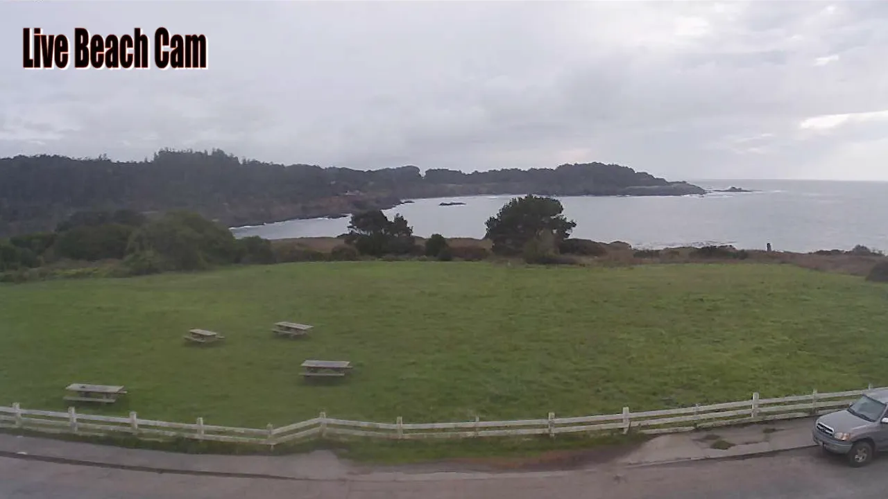
Take a look at this San Clemente State Beach live streaming webcam. The campground has 159 campsites/ Furthermore, it is located on a bluff overlooking the Pacific Ocean in Southern California. It is a mile-long beach perched below a steep bluff. It offers picturesque views & strong winds, plus campsites.
San Clemente State Beach is a picturesque coastal destination located in Southern California. Moreover, it is renowned for its stunning ocean views and inviting sandy shores. This beach is part of a larger state park that offers a variety of recreational activities. It’s no wonder it attracts tourists throughout the year.
Visitors can enjoy sunbathing, swimming, and beachcombing. The picturesque scene is complete with the gentle waves creating an ideal setting for surfing and other water sports. The beach’s scenic backdrop features cliffs and lush vegetation. San Clemente is a perfect getaway for nature lovers and outdoor enthusiasts.
The park features well-maintained picnic areas, restrooms, and showers. The conveniences are essential during guests stay. Additionally, hiking trails meander through the adjacent coastal bluffs.
This provides opportunities for exploration and breathtaking views of the Pacific Ocean. The beach is also home to diverse wildlife. Consequently, it’s commonly used as a location for birdwatching and appreciating the local ecosystem.
The beach has a long history of attracting surfers and beachgoer. It contributes to the vibrant surf culture that characterizes the region. Throughout the year, various events and festivals are held.
Watch Live Cams near San Clemente
Check out nearby attractions accessible from San Clemente California either by short drive or day trip.
- San Juan Capistrano
- Laguna Beach
- Newport Beach
- Laguna Hills
- Anaheim
- Long Beach
- San Bernardino
- San Diego
- Los Angeles
- Chula Vista
- Dana Point
History
Originally inhabited by the indigenous peoples of the region, the area was later influenced by Spanish explorers and missionaries in the 18th century. The establishment of the Mission San Juan Capistrano in 1776 marked a significant turning point, as it facilitated the introduction of European agricultural practices and settlement patterns that would shape the landscape.
Over the years, the beach area transitioned from a remote coastal region to a popular destination for both locals and tourists, particularly during the 20th century when California’s beach culture began to flourish
The beach was officially designated as a state park in 1933. This move underscored the growing recognition of the need to preserve California’s natural beauty and recreational spaces. The development of facilities and amenities at San Clemente State Beach aimed to accommodate the increasing number of visitors drawn to its scenic vistas and recreational opportunities.
The park has since become a hub for various activities. The historical significance of the area is further enhanced by its role in the conservation movement. It sought to protect California’s coastal environments from urban encroachment.