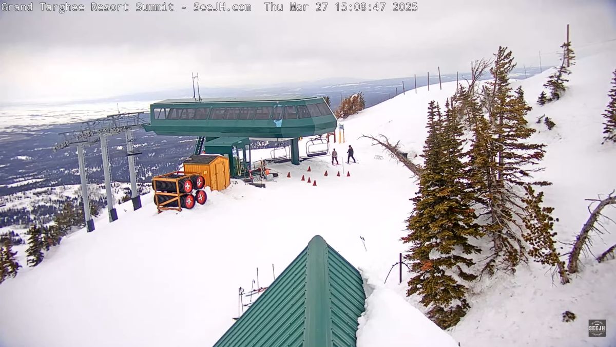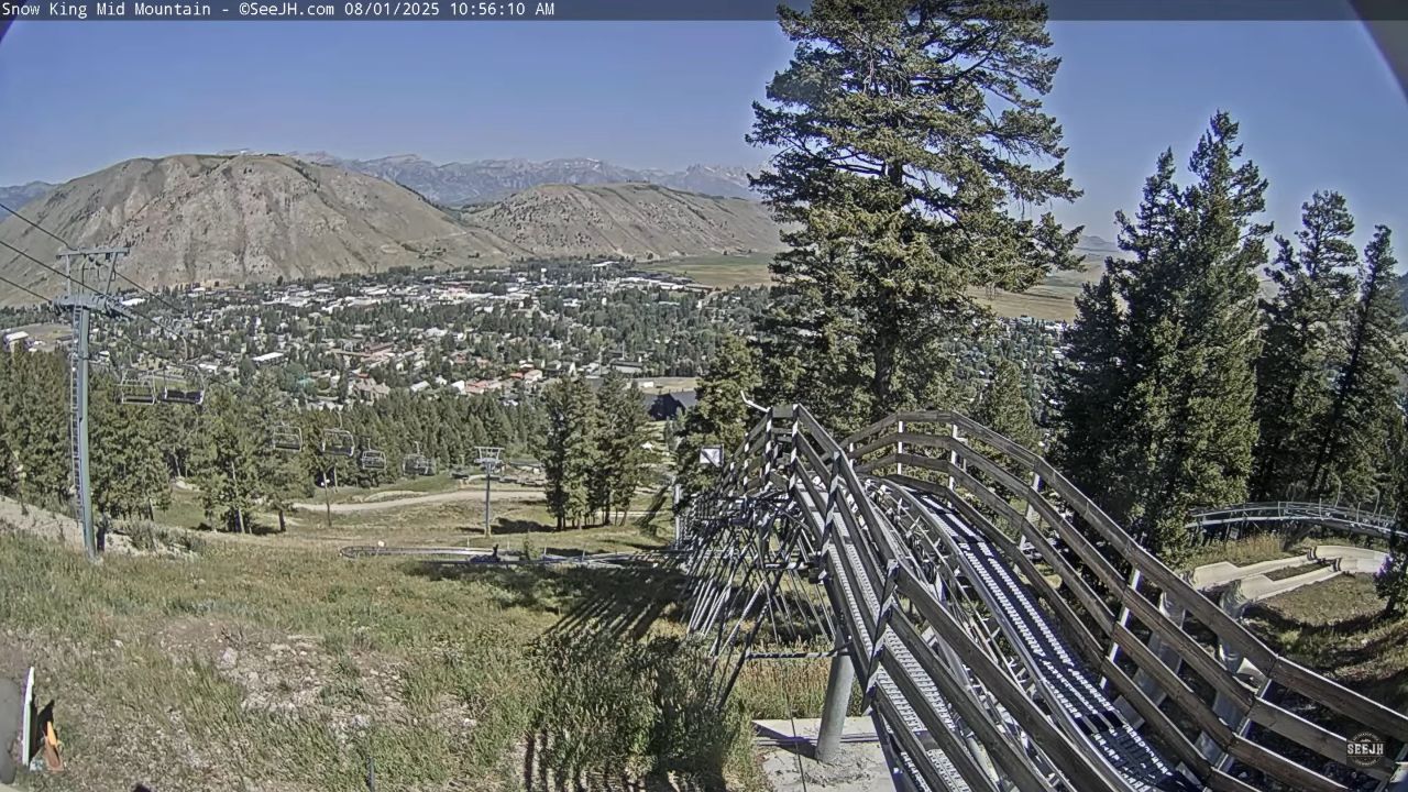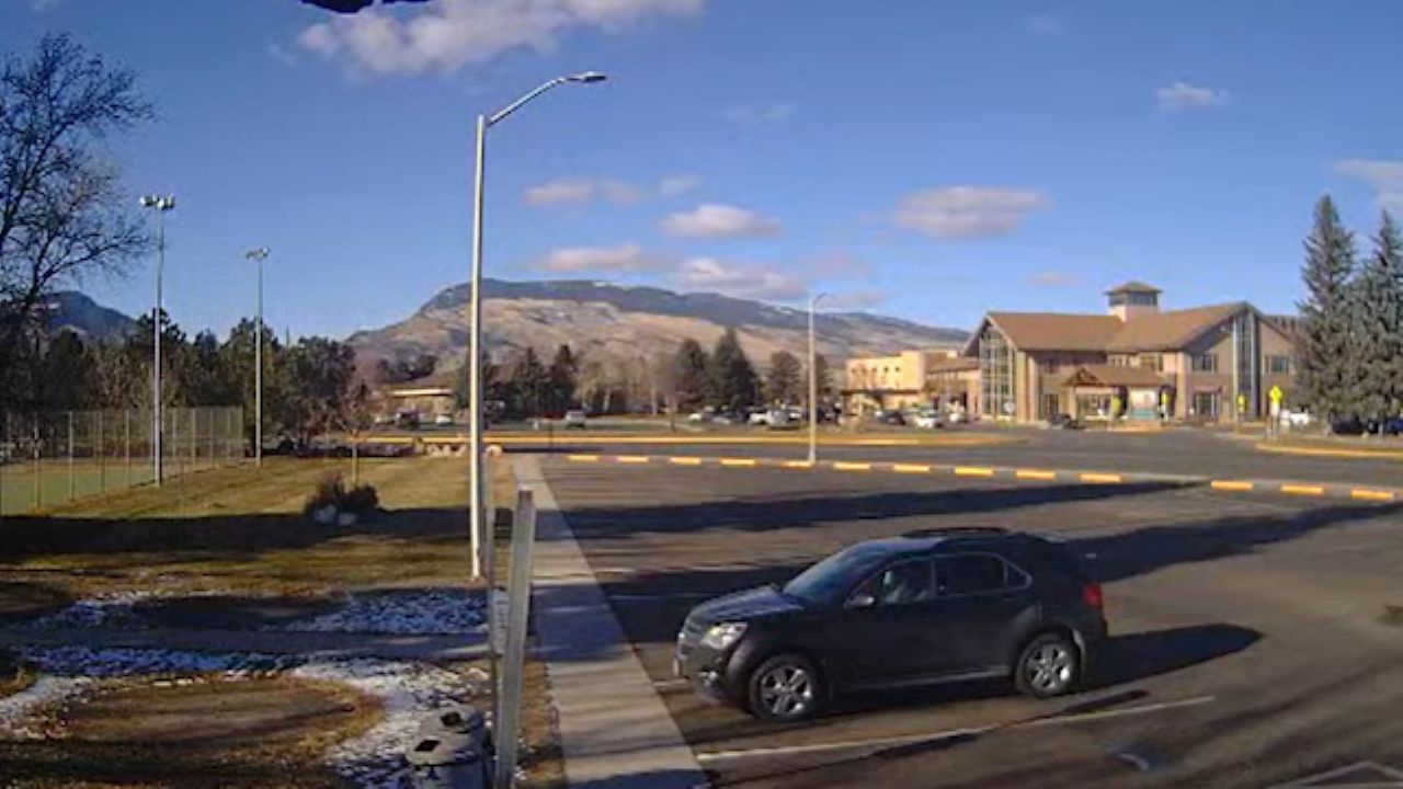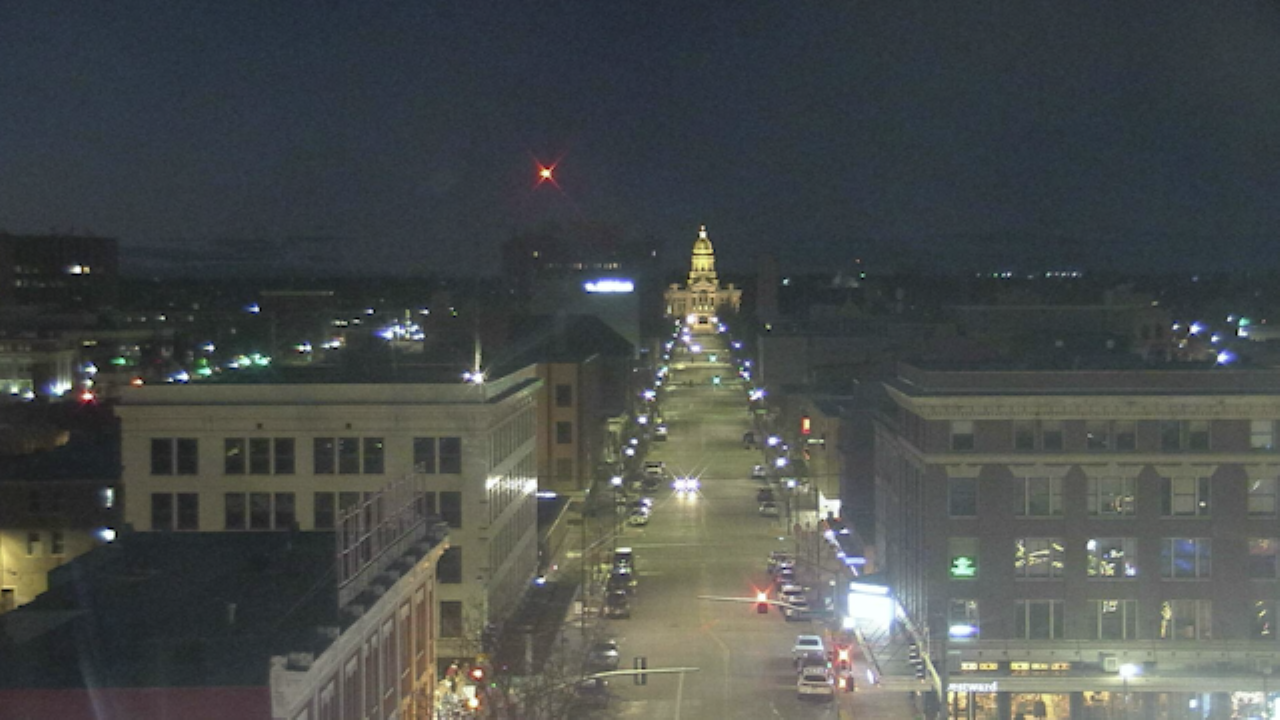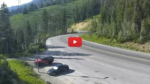
Overlooking one of the most volatile mountain highway crossings in North America, this real-time video viewport delivers an unbroken visual broadcast from the summit crest of Teton Pass, Wyoming. Positioned at an alpine elevation of 8,431 feet above sea level, this weather-hardened lens operates as an essential transit checkpoint where daily regional commuters evaluate highway velocity, commercial freight haulers check winter chain law enforcement, and backcountry skiers track high-altitude powder depths.
High-Altitude Snowpack Accumulation and Mountain Pass Logistics
JACKSON HOLE WEATHERThe elevated lens points directly across the steep mountain highway lanes where the rugged peaks of the Teton Range meet the open sky. Volatile alpine weather patterns, severe winter blizzard fronts, and active highway maintenance operations update continuously to take the guesswork out of mountain driving.
- The Highway 22 Travel Lanes: Watch real-time commuter vehicle speeds, slow-moving delivery truck climbs, and peak-hour traffic backups linking Idaho to Wyoming.
- The Summit Brake Check Turnouts: Monitor commercial truck staging lines, mandatory tire chain-control compliance, and emergency vehicle tracking.
- The Backcountry Avalanche Paths: Check active snowpack drifting totals, wind-blown ridge line visibility, and winter slide mitigation zones.
- The Grand Teton Sky Horizon: Evaluate incoming sub-zero winter storm cells, heavy mountain fog clearing timelines, and real-time snowfall depths.
Extreme Alpine Topography and Jackson Hole Transit Info
Because weather conditions across the Teton Pass corridor can transition instantly from clear mountain sunshine to a blinding whiteout blizzard that triggers immediate gates-closed road blockages, checking the summit lines beforehand is a mandatory transit safety precaution. Commuters driving between the residential valleys of Teton Basin, Idaho, and the commercial business core of Jackson, Wyoming, log on to the 24/7 viewport to verify surface traction before tackling the steep 10% highway grades, while highway crews track active avalanche risks.
Mountain Highway Reference Grid
- Exact Map Coordinates: 43°29’51.2″N 110°57’14.3″W
- Primary Transit Axis: Wyoming Highway 22 / Idaho State Highway 33 Corridor
- Geographic Axis Anchor: Teton Pass Summit Crest, Caribou-Targhee National Forest, WY
- Regional Proximity Lines: Situated high above the valley floors, positioned roughly eleven miles west of downtown Jackson, five miles east of Victor, Idaho, and south of the alpine ski bowls at Grand Targhee and Teton Village.
Practical Logistical Inquiries for Teton Pass Drivers
When are the best daily times to monitor this mountain pass camera?
Tuning into the live matrix during peak morning commuter rush hours (6:30 AM to 8:30 AM) and late afternoon regional transit windows (4:30 PM to 6:30 PM) provides the most actionable data regarding vehicle slow-downs and winter road plowing progress. Checking the stream during active winter storms reveals real-time chain enforcement cycles.
Can you view the tramways or ski lifts of Jackson Hole Mountain Resort from this lens?
No. To maximize motorist highway safety and winter transport utility, the camera keeps its tracking frame locked strictly onto the immediate public road lanes, turnout bays, and adjacent forest ridges. The commercial ski lifts, downhill trails, and tourist plazas of Teton Village are located further north along the mountain range, placing them out of range.
What should drivers do if the pass camera shows active heavy plowing or blowing snow?
When the live feed reveals heavy snow drifts or active spinning emergency lights across the asphalt, motorists should immediately check local transportation alerts for active trailer restrictions or total pass closures. If WYO 22 is shut down by state troopers due to severe mountain weather, drivers must use alternative lower-elevation routes around the canyon tracks via Swan Valley and the Alpine junction.