Monitor changing road conditions and shifting weather patterns across the upper Midwest in real time. This comprehensive index of live Wisconsin webcams delivers 24/7, high-definition streaming views from the shores of Lake Michigan to the deep timber of the Northwoods. Engineered as a centralized visual dashboard for regional highway commuters, cross-state logistics fleets, and winter sports enthusiasts, this portal provides direct confirmation of interstate traffic bottlenecks, harbor wave action, and trail snowpack depth.

Freeway Systems, Great Lakes Harbors, and Northwoods Trackers
Navigating America’s Dairyland through intense weather shifts requires instant access to clear, unvarnished visual data. Looking through our active state camera matrix, motorists can check for sudden construction backups along downtown corridors or evaluate localized blizzards before driving out.
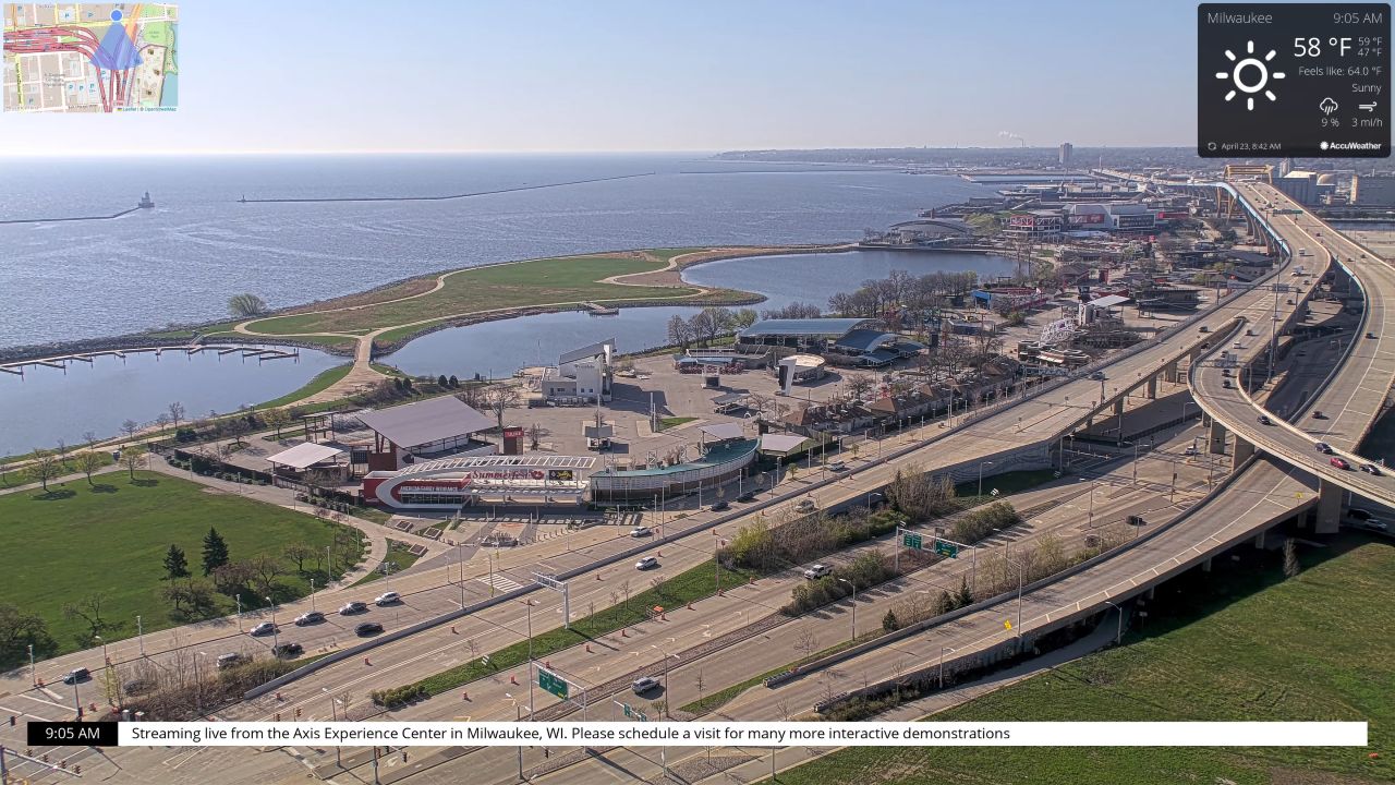
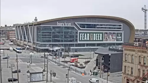
The regional elements transition rapidly from hot, sun-drenched summer boating weekends to severe, ice-choked winter freeze cycles. Having an eye-on check eliminates the guesswork. Whether you are tracking daily freight velocity along the Interstate 794 corridor in Milwaukee, monitoring fan arrivals outside Fiserv Forum, checking harbor wave chop at Kenosha and Neenah, or analyzing lake ice-out dates in Vilas County, this directory keeps you connected to current conditions.
Featured Regional Monitoring Nodes
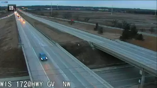
- The Milwaukee Urban Corridors: High-angle highway viewports tracking vehicle speed, transit delays, and municipal snowplow deployment over the central driving lanes.
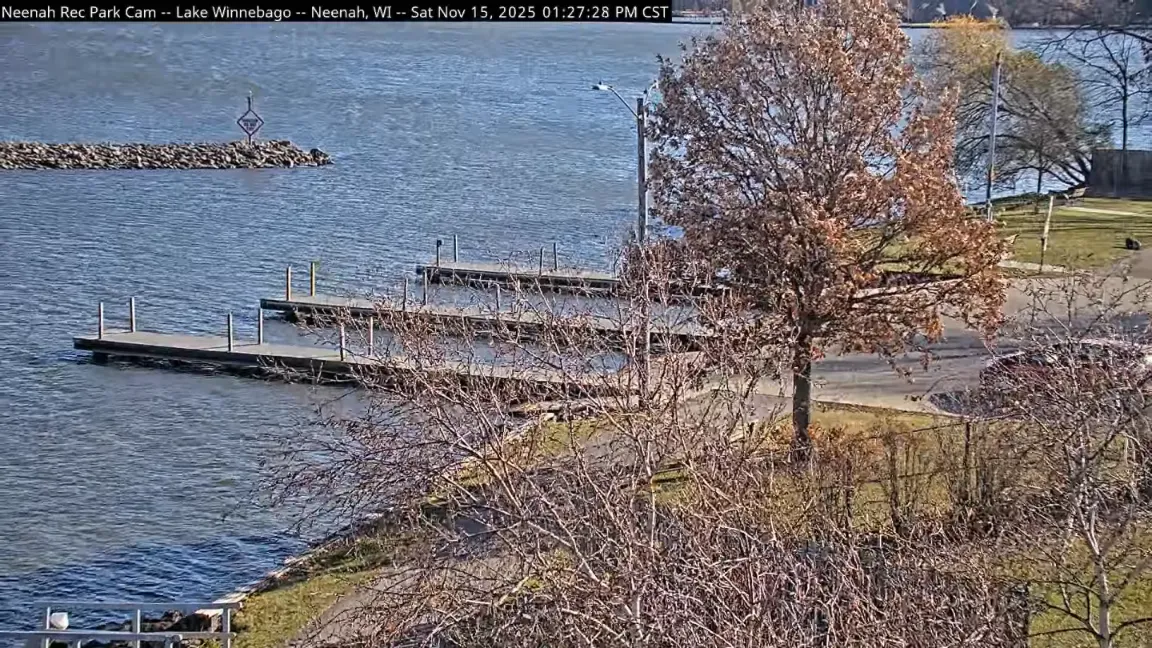
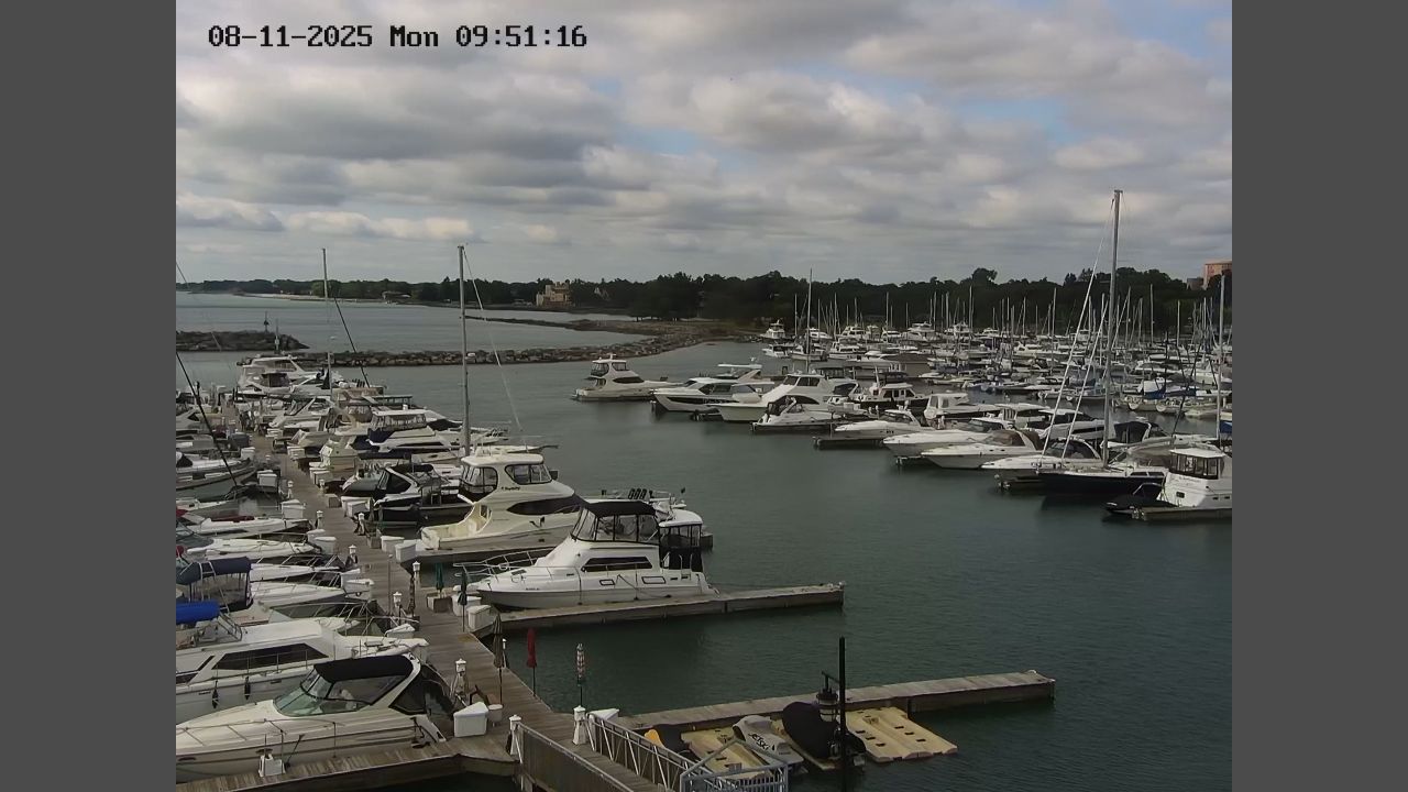
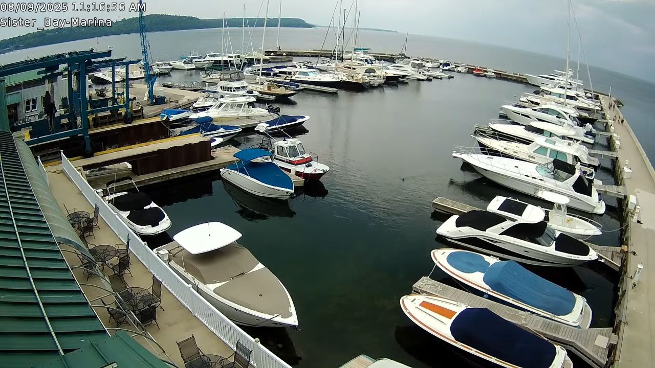
- The Great Lakes & Inland Harbors: Marine-facing lenses mapping out wind direction, pier spray, and water surface safety from Kenosha to the Fox Valley.
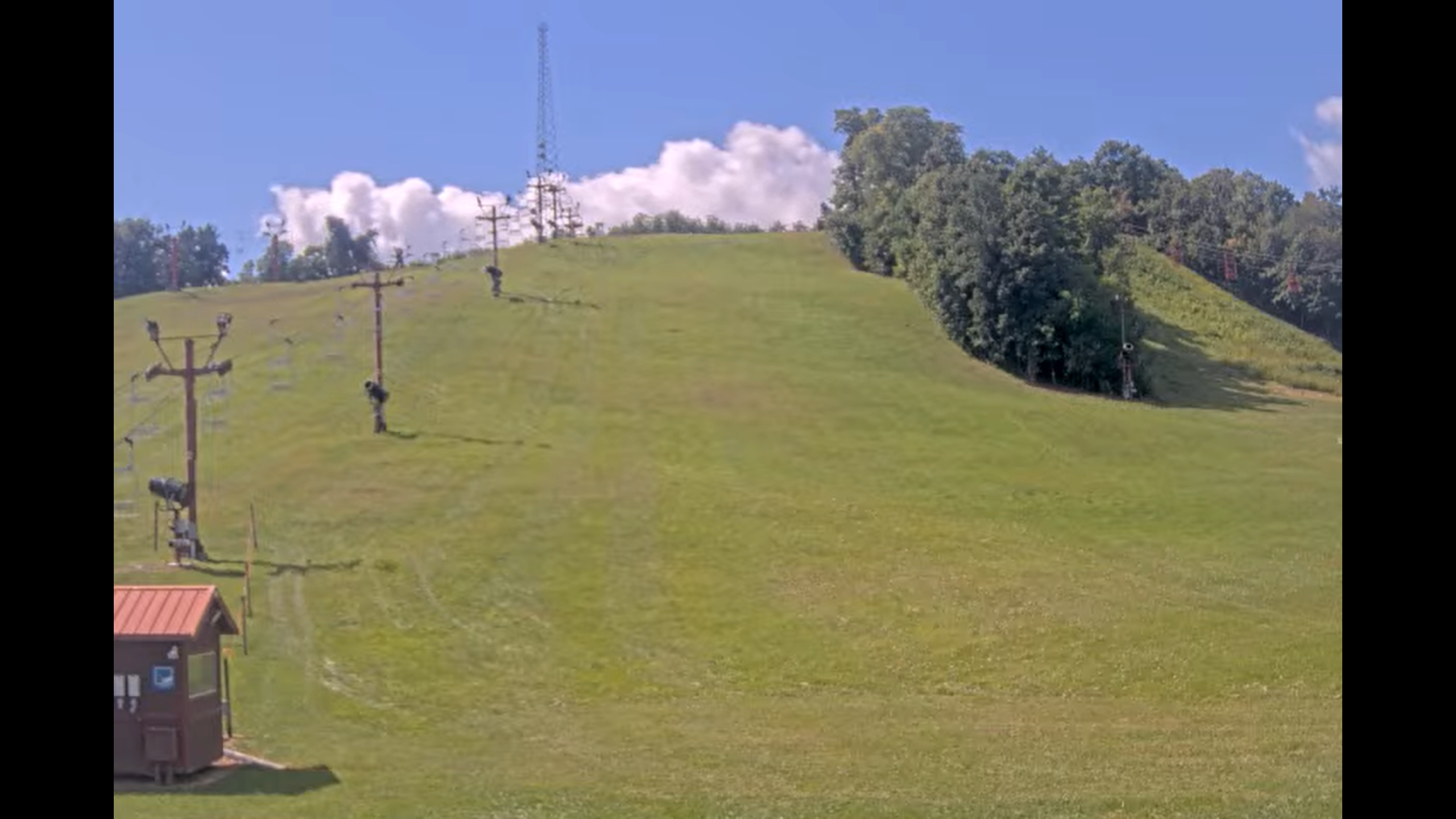
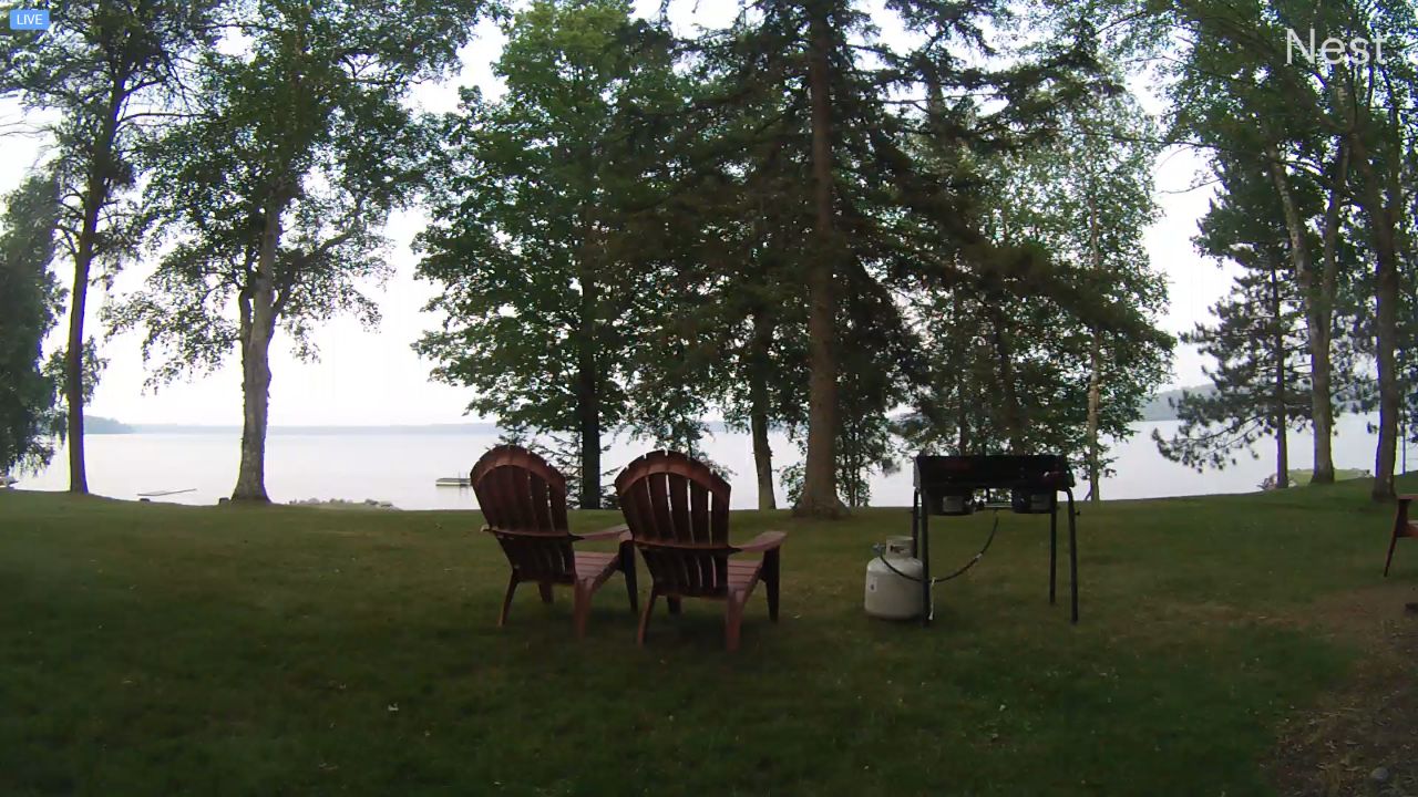
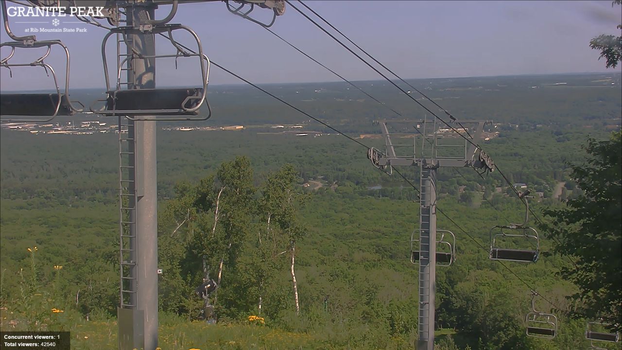
- The Northwoods Chains & Ski Resorts: Winter-focused outdoor trackers monitoring fresh snow accumulation, frozen lake surfaces, and downhill ski hill grooming.
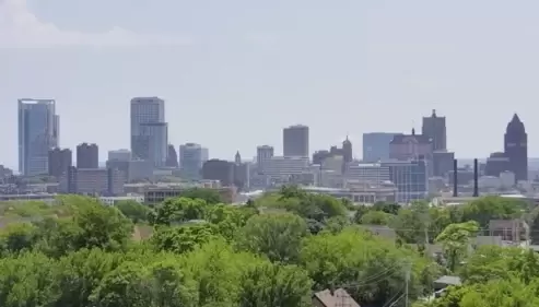
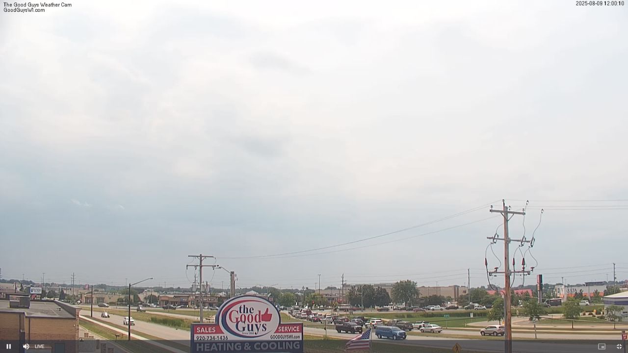
- The Downtown Scramble Crossings: Street-level viewports showing local shopper foot traffic, street festivals, and city center visibility.
State Infrastructure & Navigation
Our Wisconsin tracking matrix aligns its primary visual check points along major interstate intersections and lake hubs, making it simple to map out travel routes before hitting the road.
- Central Milwaukee Coordinates: 43°02’22.1″N 87°54’32.4″W (43.0395° N, -87.9090° W)
- Central Vilas County Coordinates: 46°07’45.2″N 89°51’43.5″W (46.1292° N, -89.8620° W)
- Primary Transportation Axes: Interstate 94 / Interstate 43 / US Highway 51 / Interstate 794
Using these strategic geographic anchors allows long-distance truck dispatchers to follow winter storms moving east from Minnesota, travelers to analyze beach crowd densities near Door County, or commuters to check real-time road traction along the southern bypass loops.
Badger State Climate Guide: Commute Surges & Seasonal Ice Shifts
A dramatic continental climate heavily moderated by the Great Lakes shapes this territory, bringing breezy, humid summers and long, snow-heavy winters capable of shifting road visibility instantly.
- The Metro Rush Hour: Open the Milwaukee and Green Bay highway feeds on weekdays between 7:30 AM and 9:00 AM, and again from 4:30 PM to 6:30 PM Central Time (CT) to scan for bumper-to-bumper delays and lane bottlenecks.
- The Spring Thaw Window: Monitor our Northwoods and harbor lenses closely during April and early May. Watch the winter ice sheets fracture and melt away in real time, signaling the official opening of the regional boating and fishing seasons.
Frequently Asked Questions
Why do drivers use these live Wisconsin webcams?
Because upper Midwest winter blizzards, black ice, and metro traffic can disrupt travel times within minutes, local motorists and logistics dispatchers use this live directory to instantly verify real-time road visibility before departing.
Are these state camera streams active during winter storms?
Yes. The entire Wisconsin camera matrix operates 24/7 year-round, serving as a critical safety tool for travelers who need to evaluate deep snow accumulation, highway traction, and active sanding operations during major freezes.
Can I monitor Milwaukee Bucks event crowds on this page?
Yes. Dedicated lenses monitor the central plazas and approach roads surrounding the Fiserv Forum and Deer District, letting sports fans check immediate pedestrian densities and local traffic loops before arriving at the venue.